Spring Wood
Wood, Forest in Lancashire South Lakeland
England
Spring Wood
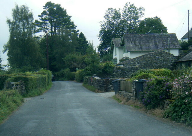
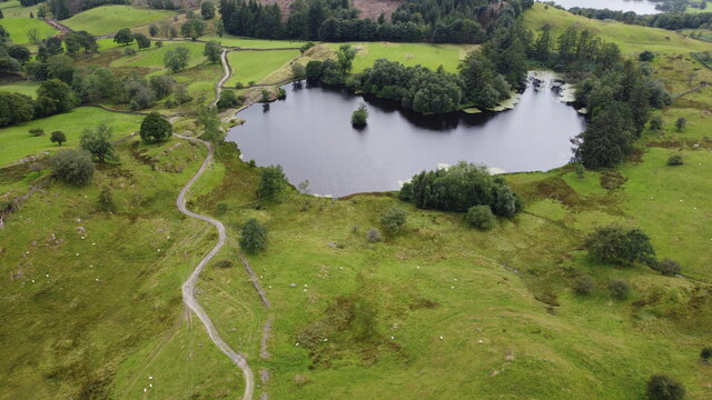
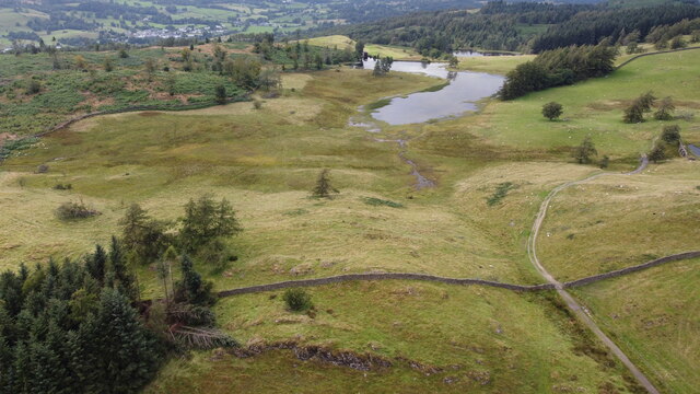
Spring Wood is a picturesque woodland located in Lancashire, England. Covering an area of approximately 50 hectares, it is known for its natural beauty and diverse flora and fauna. The wood is situated near the village of Wood, hence its name, and is easily accessible from the nearby town of Lancashire.
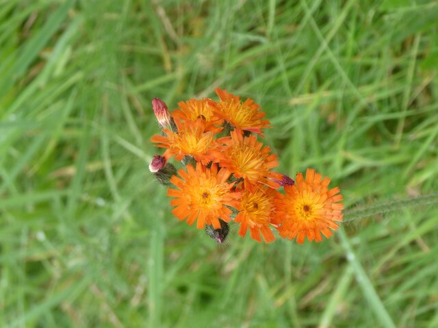
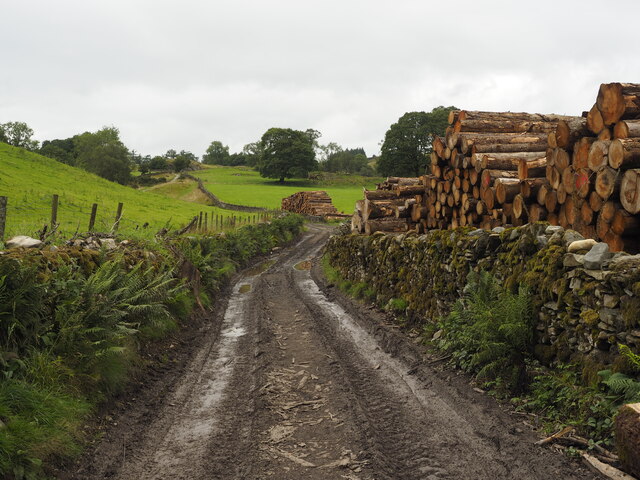
The woodland is primarily composed of deciduous trees, with a mix of oak, beech, birch, and ash trees dominating the landscape. These trees create a dense canopy overhead, providing shelter and habitat for a wide range of wildlife. Spring Wood is particularly renowned for its vibrant displays of bluebells during the spring season, attracting visitors from far and wide.
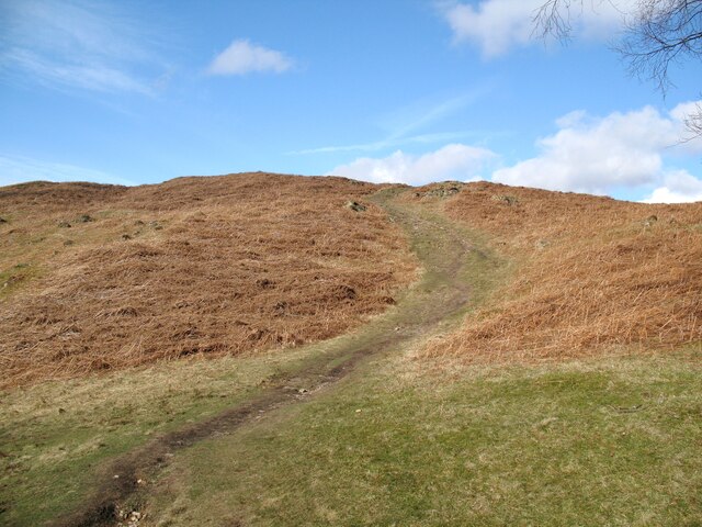
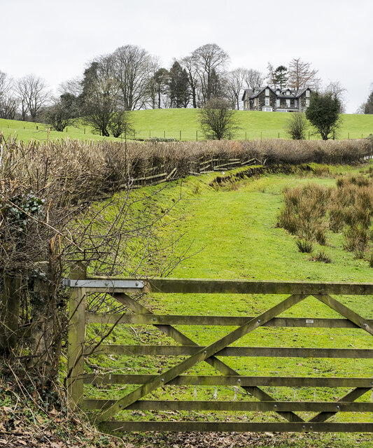
Tranquil walking trails wind their way through the wood, allowing visitors to immerse themselves in the serene surroundings. The paths vary in difficulty, catering to both casual strollers and more experienced hikers. Along the trails, visitors can spot various species of birds, small mammals, and even rare butterflies.
Managed by the local conservation authorities, Spring Wood is carefully preserved to maintain its natural state. The wood is also home to several protected species, including the red squirrel, which adds to its ecological significance. Educational programs and guided tours are offered to visitors, providing an opportunity to learn about the wood's biodiversity and conservation efforts.
Overall, Spring Wood in Lancashire offers a tranquil retreat from the bustling urban life, allowing visitors to connect with nature and appreciate the beauty of the British countryside.
If you have any feedback on the listing, please let us know in the comments section below.
Spring Wood Images
Images are sourced within 2km of 54.374595/-2.9827935 or Grid Reference SD3698. Thanks to Geograph Open Source API. All images are credited.


Spring Wood is located at Grid Ref: SD3698 (Lat: 54.374595, Lng: -2.9827935)
Administrative County: Cumbria
District: South Lakeland
Police Authority: Cumbria
What 3 Words
///dared.bandwagon.messy. Near Windermere, Cumbria
Nearby Locations
Related Wikis

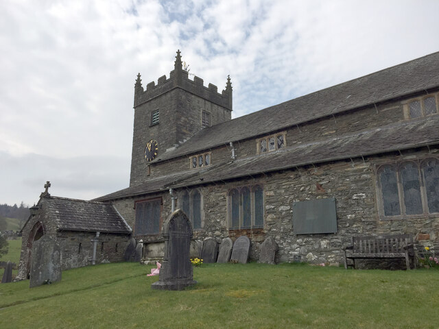
Beatrix Potter Gallery
The Beatrix Potter Gallery is a gallery run by the National Trust in a 17th-century stone-built house in Hawkshead, Cumbria, England. It is dedicated to...

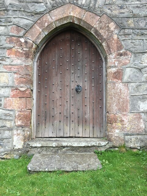
Hawkshead Grammar School Museum
The museum operates in the old Hawkshead Grammar School building from 1 April through to 31 October. It gives an introductory talk about the school, highlighting...
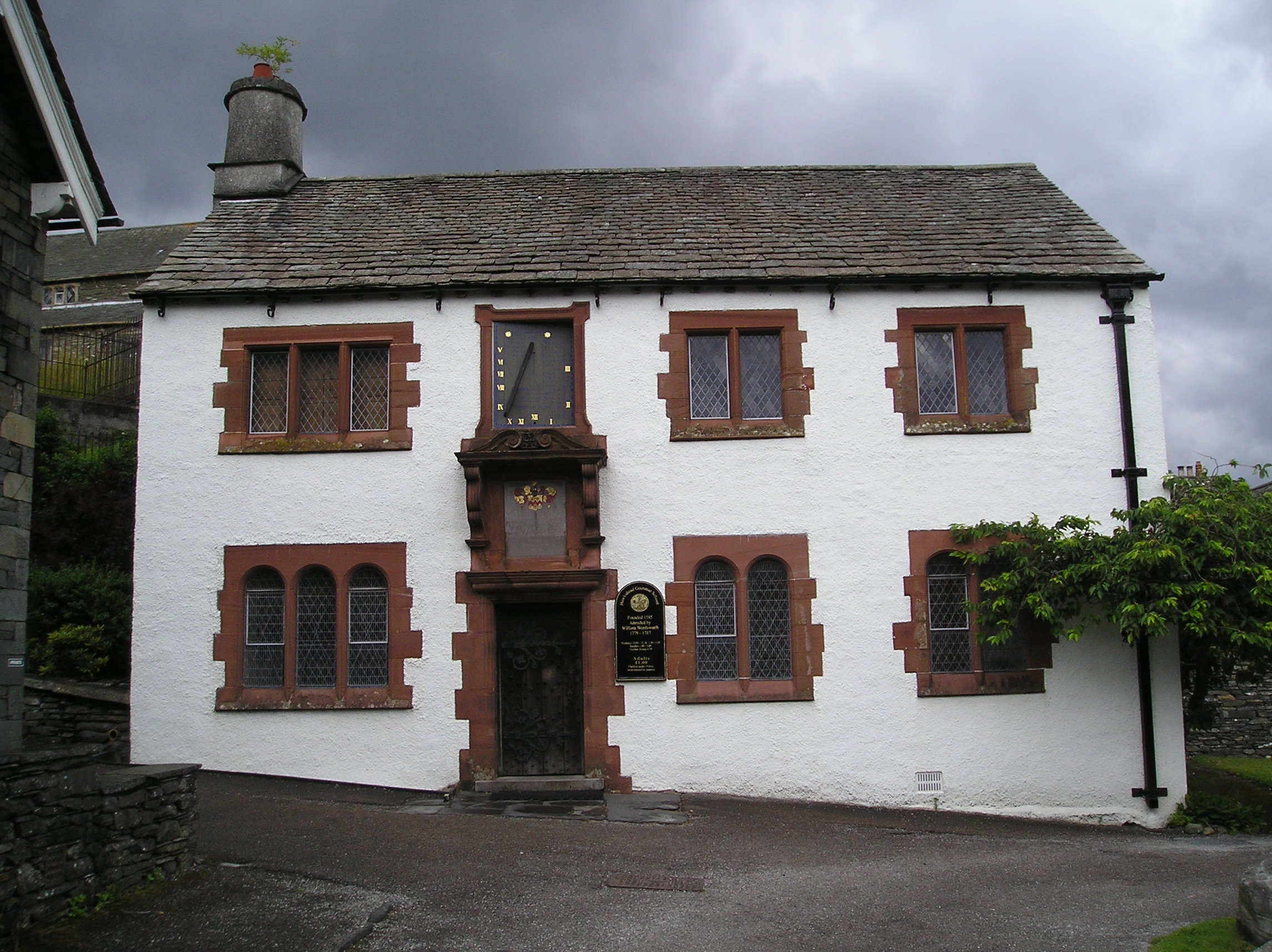
Hawkshead Grammar School
Hawkshead Grammar School in Hawkshead, Cumbria, England was founded in 1585 by Archbishop Edwin Sandys, the incumbent Archbishop of York, whose family...

Hawkshead Market Hall
Hawkshead Market Hall, also known as Hawkshead Town Hall, is a municipal building in The Square in Hawkshead, Cumbria, England. The building, which is...
Related Videos

Walking around Hawkshead and the surrounding countryside. The Lake District, Cumbria, England.
We spent two days walking around the Village of Hawkshead and the surrounding countryside. Hawkshead is a beautiful village ...

Lake District Walking Trail - Grizedale
This walk starts at the Grizedale visitors centre. The forest is famous for its artwork. To download a GPS of the walk, please visit: ...

DUCK WALKING WITH HER HUMAN MUM #cuteanimals #petduck #funnypets
In this short our faithful duck walks beside her Mum as we continue on our family holiday in the Lake District. #lakedistrict ...

Nearby Amenities
Located within 500m of 54.374595,-2.9827935Have you been to Spring Wood?
Leave your review of Spring Wood below (or comments, questions and feedback).