Lily Tarn
Lake, Pool, Pond, Freshwater Marsh in Westmorland South Lakeland
England
Lily Tarn

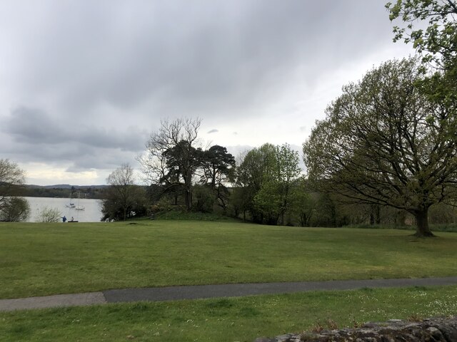
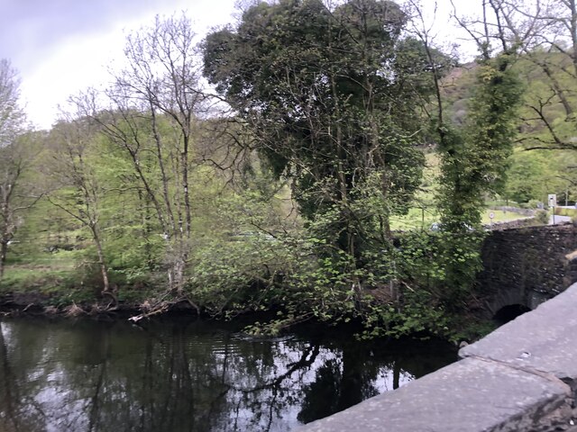
Lily Tarn, located in Westmorland, is a stunning freshwater ecosystem that encompasses a lake, pool, pond, and freshwater marsh. Situated amidst the picturesque countryside of the Lake District National Park in northwest England, Lily Tarn offers a diverse and captivating natural environment.
The main feature of Lily Tarn is its pristine lake, which stretches across a considerable area and is surrounded by lush greenery. The lake boasts crystal-clear waters, making it a popular spot for swimming, boating, and fishing. The calm and serene atmosphere of the lake attracts a variety of wildlife, including ducks, swans, and other waterfowl.
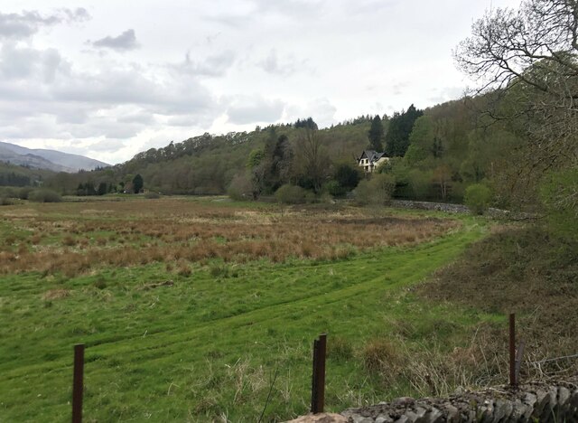
Adjacent to the lake, there is a smaller pool that serves as a breeding ground for aquatic plants and small fish species. This pool is teeming with life, with a vibrant array of plant species growing both above and below the water's surface. It is a haven for frogs, newts, and other amphibians that rely on the pool for their survival.
Further inland, a tranquil pond can be found, covered with lily pads and surrounded by reeds and rushes. This pond is home to a myriad of insects and invertebrates, attracting dragonflies, damselflies, and other fascinating creatures.
Lastly, a freshwater marsh completes the ecosystem of Lily Tarn. This marshland is characterized by its wet, boggy soil and is host to a wide range of plant species, such as sedges, rushes, and reeds. It serves as a breeding and feeding ground for many bird species, including the elusive bittern and various waterfowl.
Overall, Lily Tarn in Westmorland provides a captivating and diverse habitat for a multitude of plants and animals, making it a must-visit destination for nature enthusiasts and wildlife lovers alike.
If you have any feedback on the listing, please let us know in the comments section below.
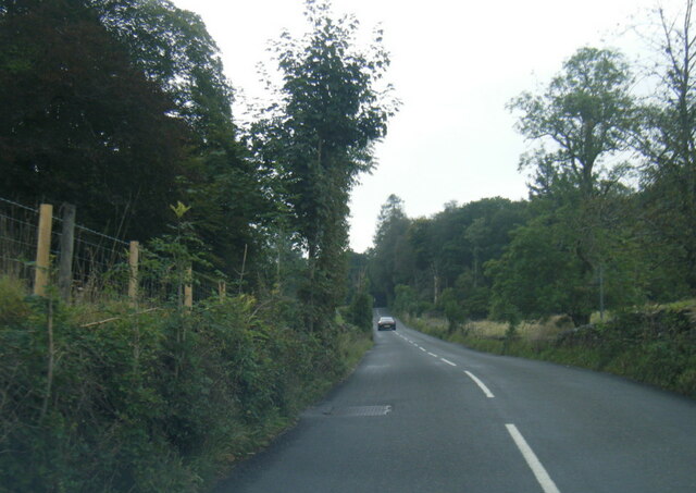
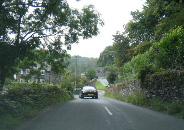
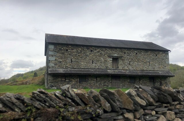
Lily Tarn Images
Images are sourced within 2km of 54.427596/-2.9814259 or Grid Reference NY3604. Thanks to Geograph Open Source API. All images are credited.


Lily Tarn is located at Grid Ref: NY3604 (Lat: 54.427596, Lng: -2.9814259)
Administrative County: Cumbria
District: South Lakeland
Police Authority: Cumbria
What 3 Words
///firepower.goggles.befitting. Near Ambleside, Cumbria
Nearby Locations
Related Wikis

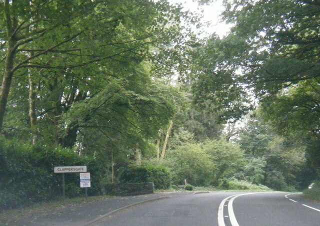
Clappersgate
Clappersgate is a village in the South Lakeland district, in the county of Cumbria, England. Clappersgate is located on the B5286 road and on the River...

Rydal, Cumbria
Rydal is a village in Cumbria, England. It is a small cluster of houses, a hotel, and St Mary's Church, on the A591 road midway between Ambleside and Grasmere...

Holy Trinity Church, Brathay
Holy Trinity Church is in Bog Lane in the village of Brathay, Cumbria, England. It is an active Anglican parish church in the deanery of Windermere, the...

Scandale Beck
Scandale Beck arises in Lake District National Park on Bakestones Moss, west of Kirkstone Pass, and flows south for much of its length of six and a half...

Stock Ghyll
Stock Ghyll, also known as Stock Gill, Stock Gill Beck and Stock Beck, is a stream in South Lakeland, in the ceremonial county of Cumbria and the historic...

Rothay Manor
Rothay Manor is a country house near Ambleside in Cumbria. It is a Grade II listed building. == History == The house was built for John Crosfield, a merchant...

Ambleside Roman Fort
Ambleside Roman Fort is the modern name given to the remains of a fort of the Roman province of Britannia. The ruins have been tentatively identified as...
Fox Ghyll
Fox Ghyll or Foxghyll, earlier Fox Gill, is a historic house near Ambleside in Cumbria, England, and is a Grade II listed building. It is a Regency building...
Nearby Amenities
Located within 500m of 54.427596,-2.9814259Have you been to Lily Tarn?
Leave your review of Lily Tarn below (or comments, questions and feedback).