Green Hows Tarn
Lake, Pool, Pond, Freshwater Marsh in Lancashire South Lakeland
England
Green Hows Tarn

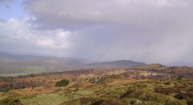
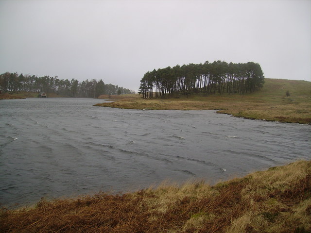
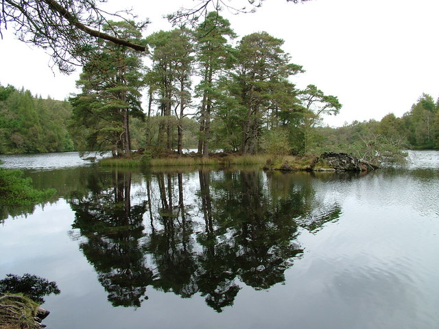
Green Hows Tarn is a picturesque freshwater lake located in the county of Lancashire, England. Nestled amidst the stunning countryside of the Lake District National Park, it offers tranquility and natural beauty to visitors. With an area of approximately 4 hectares, the tarn is a popular destination for nature enthusiasts, hikers, and birdwatchers.
Surrounded by lush green hills, the tarn is fed by several small streams that flow into it, ensuring a constant supply of freshwater. The water is crystal clear and reflects the surrounding landscape, creating a mesmerizing sight. The depth of the tarn varies, with the deepest point reaching around 10 meters.
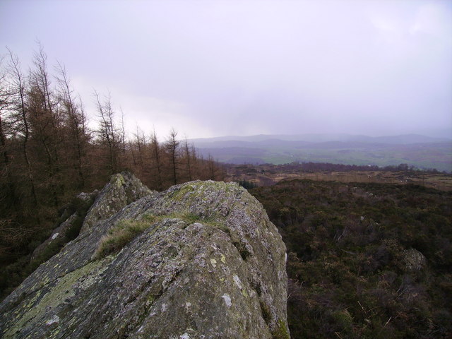
Green Hows Tarn is home to a diverse range of flora and fauna. The surrounding marshland provides a habitat for various aquatic plants, such as water lilies and reeds. These plants offer shelter and food for a variety of bird species, including ducks, swans, and herons. The tranquil setting also attracts other wildlife, such as otters and deer, which can occasionally be spotted near the tarn.
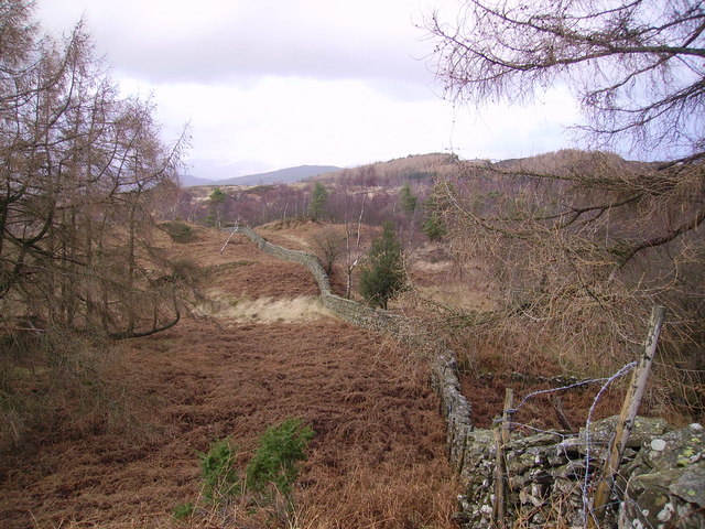
Visitors can enjoy a leisurely stroll around the tarn, taking in the breathtaking views and observing the wildlife. There are also designated picnic areas where visitors can relax and enjoy the peaceful surroundings. The tarn is accessible by foot, with parking available nearby, making it a perfect destination for a day trip or a longer stay in the Lake District.
Overall, Green Hows Tarn is a hidden gem in Lancashire, offering a serene and scenic retreat for nature lovers and those seeking a peaceful escape from the hustle and bustle of everyday life.
If you have any feedback on the listing, please let us know in the comments section below.
Green Hows Tarn Images
Images are sourced within 2km of 54.307397/-2.981468 or Grid Reference SD3690. Thanks to Geograph Open Source API. All images are credited.


Green Hows Tarn is located at Grid Ref: SD3690 (Lat: 54.307397, Lng: -2.981468)
Administrative County: Cumbria
District: South Lakeland
Police Authority: Cumbria
What 3 Words
///gazes.marathon.summer. Near Windermere, Cumbria
Nearby Locations
Related Wikis
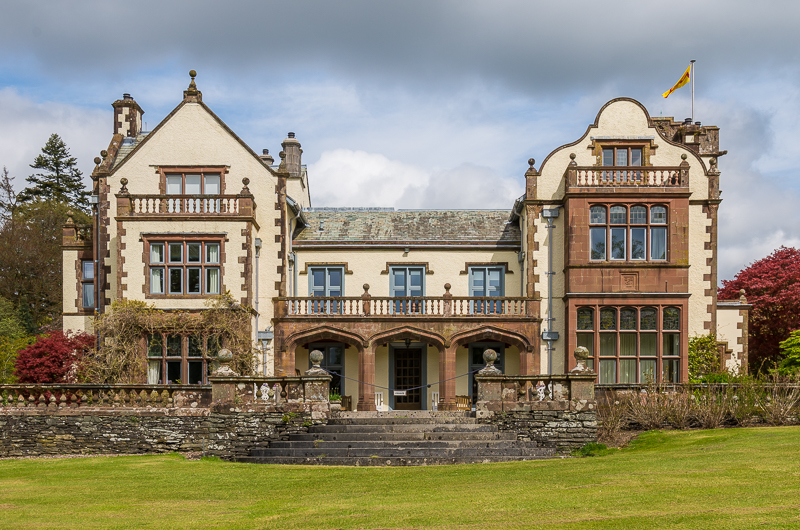
Graythwaite Hall
Graythwaite Hall, in Ulverston, Cumbria in the Lake District of England is the home of the Sandys family. One of the more famous members of the family...

Crosslands
Crosslands is a hamlet in the South Lakeland district of Cumbria, England. It is located just to the northeast of Rusland in the civil parish of Colton...
Finsthwaite Heights
Finsthwaite Heights is an upland area in the English Lake District, above Finsthwaite, Cumbria. It is the subject of a chapter of Wainwright's book The...

Satterthwaite & Rusland School
Satterthwaite & Rusland School was a Church of England Primary school near Force Forge in the Rusland Valley. The school was established in 1840 for children...
Nearby Amenities
Located within 500m of 54.307397,-2.981468Have you been to Green Hows Tarn?
Leave your review of Green Hows Tarn below (or comments, questions and feedback).