Bigland Tarn
Lake, Pool, Pond, Freshwater Marsh in Lancashire South Lakeland
England
Bigland Tarn
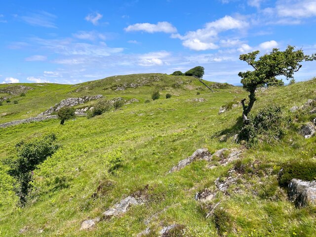
Bigland Tarn, located in Lancashire, England, is a picturesque freshwater lake nestled amidst the stunning landscape of the Lake District. Spread over an area of approximately 5 hectares, this serene tarn attracts visitors from far and wide.
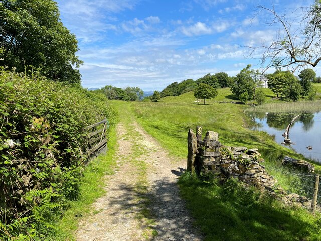
Surrounded by lush greenery and rolling hills, Bigland Tarn offers a tranquil escape for nature enthusiasts. The lake's crystal-clear waters shimmer under the sunlight, reflecting the beauty of the surrounding countryside. It serves as a vital habitat for a variety of aquatic plants and wildlife, making it a popular spot for birdwatching and wildlife photography.
The tarn's depths are home to a diverse range of fish species, including pike, perch, and trout, providing ample opportunities for fishing enthusiasts. Anglers can be seen casting their lines from the banks or small boats, hoping to land a prized catch.
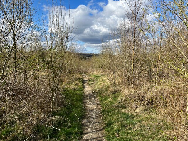
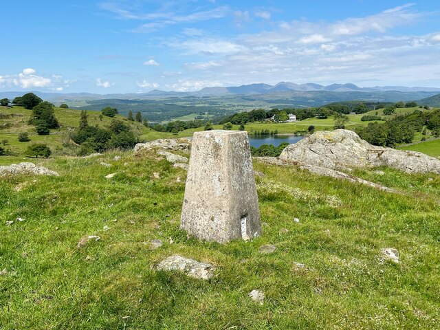
The surrounding area of Bigland Tarn is dotted with walking trails, allowing visitors to explore the region's natural beauty. Hikers can immerse themselves in the idyllic surroundings, taking in the panoramic views and breathing in the fresh countryside air.
A visit to Bigland Tarn offers not only a chance to connect with nature but also an opportunity to relax and unwind. Picnic spots along the shoreline provide a perfect setting for families and friends to enjoy a leisurely day out, while the peaceful ambiance makes it an ideal location for meditation and reflection.
Overall, Bigland Tarn in Lancashire is a hidden gem that offers a harmonious blend of stunning landscapes, wildlife diversity, and recreational activities. Whether one seeks solitude, adventure, or simply a connection with nature, this tranquil freshwater lake has something to offer to all who visit.
If you have any feedback on the listing, please let us know in the comments section below.
Bigland Tarn Images
Images are sourced within 2km of 54.237706/-2.9903385 or Grid Reference SD3582. Thanks to Geograph Open Source API. All images are credited.


Bigland Tarn is located at Grid Ref: SD3582 (Lat: 54.237706, Lng: -2.9903385)
Administrative County: Cumbria
District: South Lakeland
Police Authority: Cumbria
What 3 Words
///cheetahs.tornado.chambers. Near Flookburgh, Cumbria
Nearby Locations
Related Wikis

Bigland Tarn
Bigland Tarn is a lake in Cumbria, England, about 3/4 mile southeast of Haverthwaite. Located at an elevation of 158 m (518 ft), the lake has an area of...

Haverthwaite
Haverthwaite is a small village and civil parish in the Furness region of Cumbria, England. It is also within the boundaries of the Lake District National...
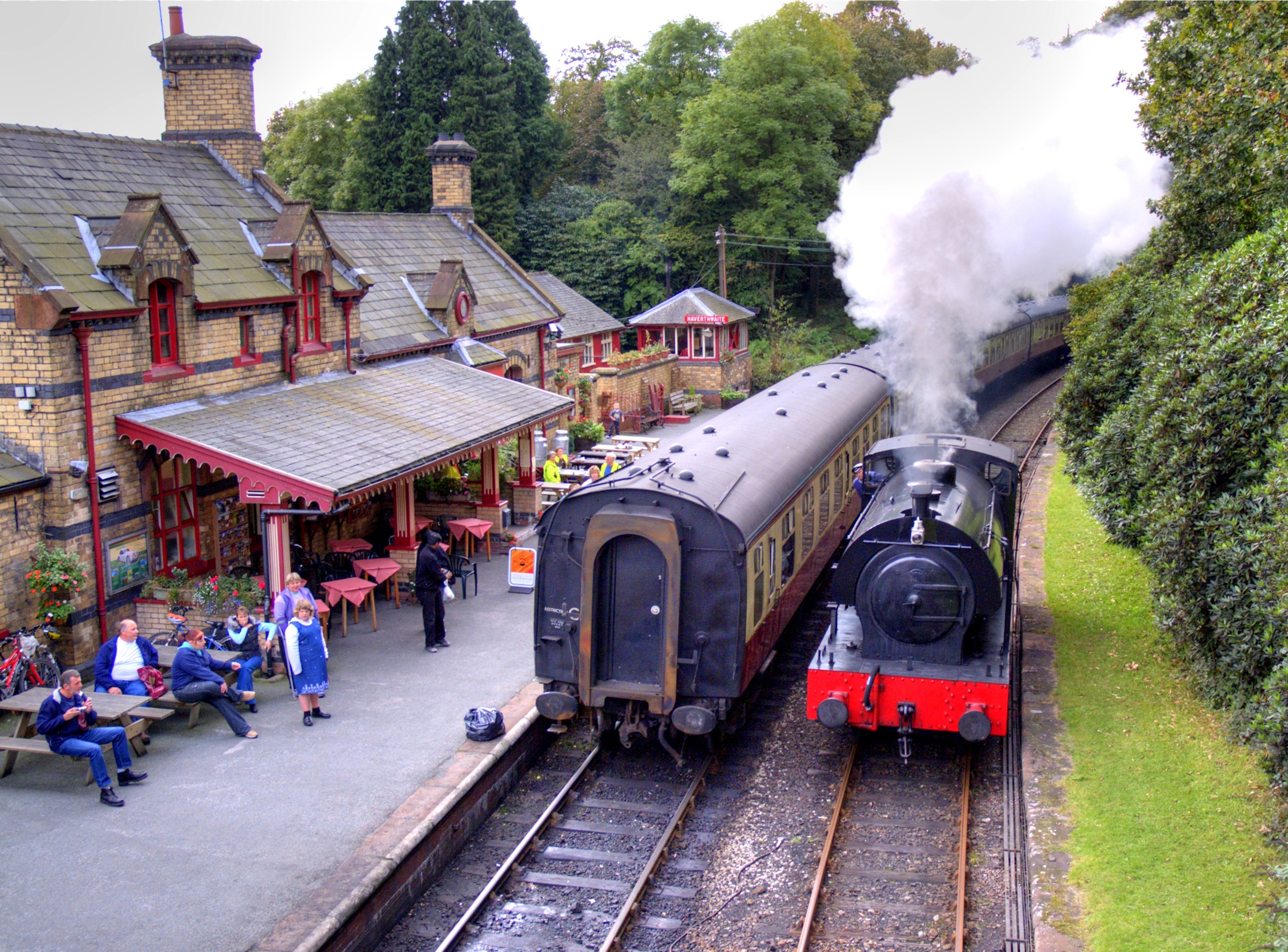
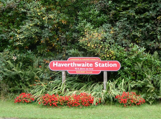
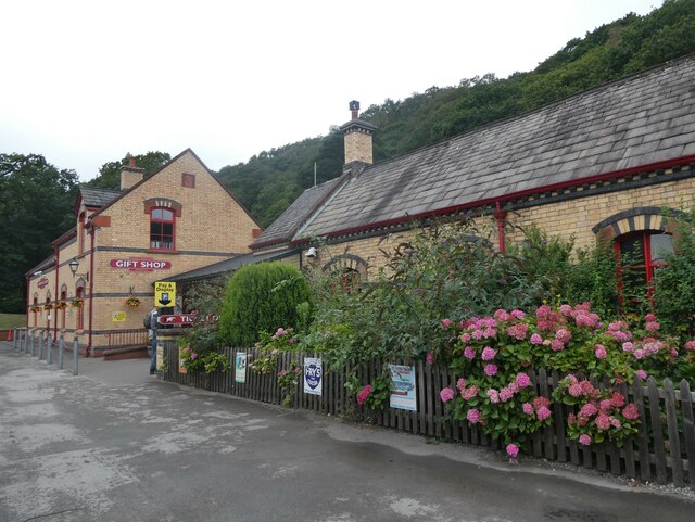
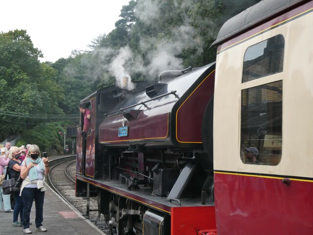
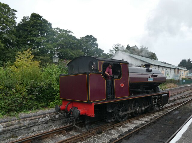
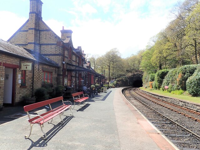
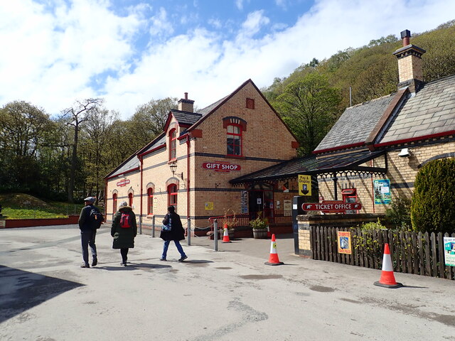
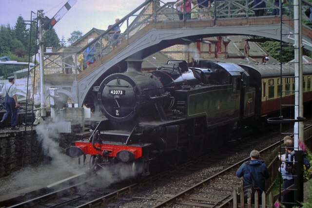
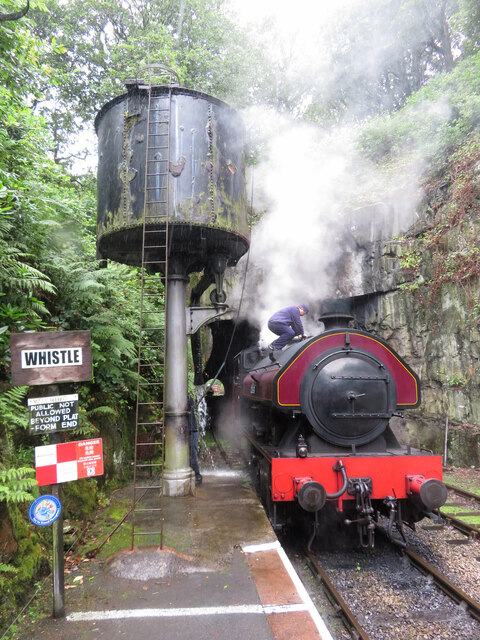
Haverthwaite railway station
Haverthwaite railway station is a railway station on the preserved Lakeside and Haverthwaite Railway in Cumbria, England. == History == The station opened...
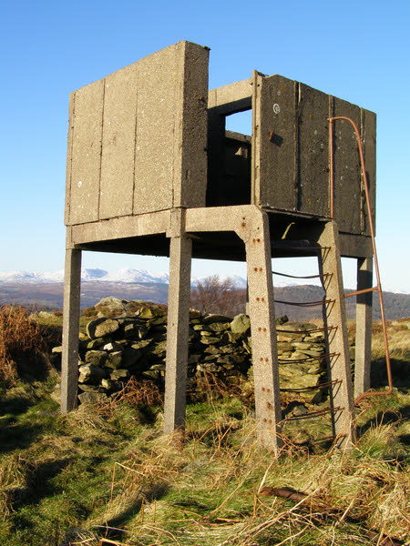
Bigland Barrow
Bigland Barrow is a hill in the English Lake District, near Backbarrow, Cumbria. It is the subject of a chapter of Wainwright's book The Outlying Fells...

A590 road
The A590 is a trunk road in southern Cumbria, in the north-west of England. It runs north-east to south-west from M6 junction 36, through the towns of...

Backbarrow
Backbarrow is a village in the Lake District National Park in England. It lies on the River Leven about 5 miles (8 km) northeast of Ulverston in Furness...

Cartmel Peninsula
Cartmel Peninsula is a peninsula in Cumbria in England. It juts in a southerly direction into Morecambe Bay, bordered by the estuaries of the River Leven...
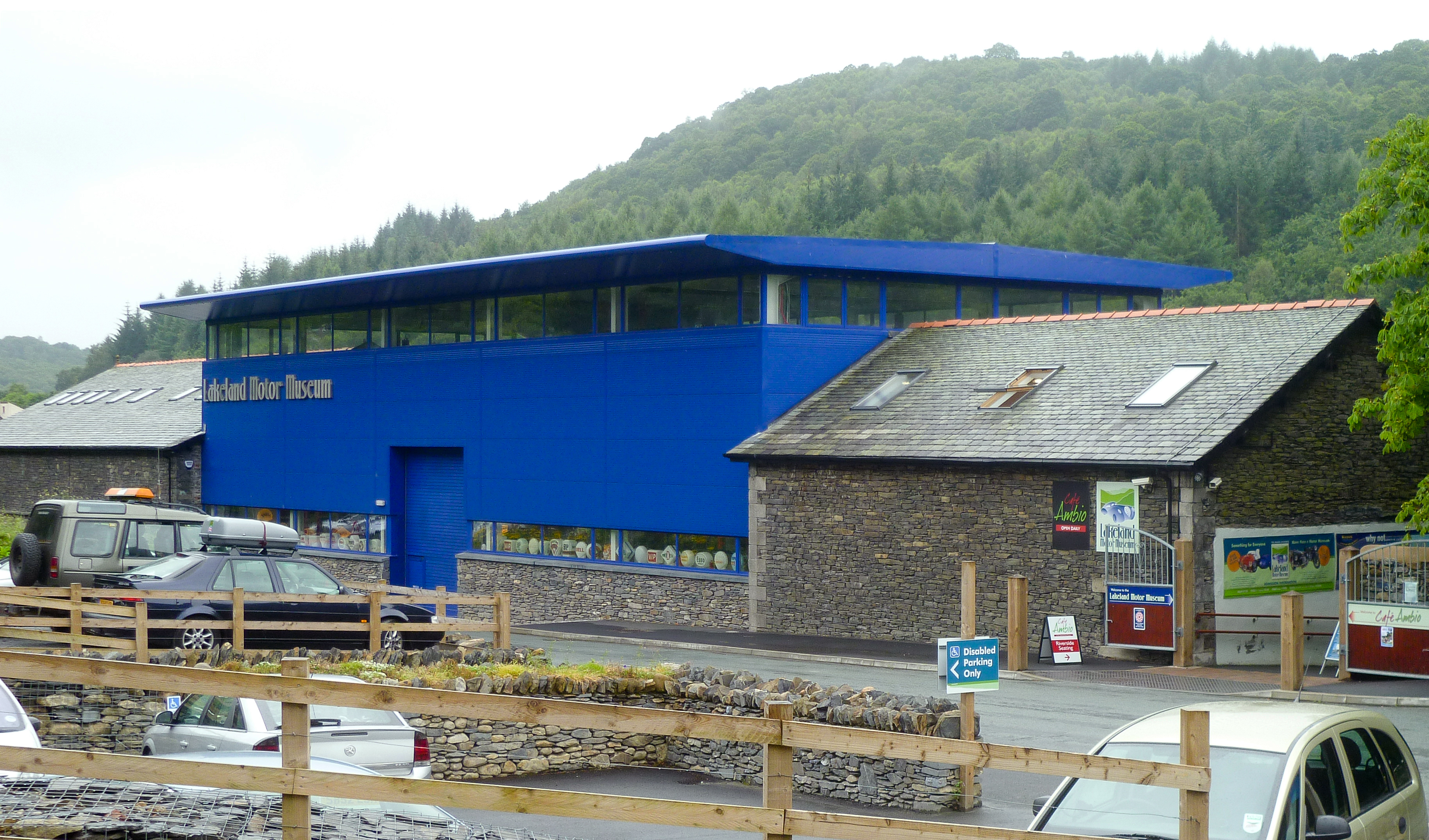
Lakeland Motor Museum
The Lakeland Motor Museum is a museum now located at Backbarrow, Cumbria, England which houses a collection of classic cars, motorcycles, bicycles, pedal...
Related Videos


Travel Bear - Make mine a 99
The best way to have an ice cream in the UK. #uktravel #england #thenorth #gaytravel #travel #europeantravel #makeminea99 ...

Backbarrow & Bluebells
After a break from uploading, a walk from Backbarrow in search of Bluebells. Exploring the Industrial Archaeology of the area.
Nearby Amenities
Located within 500m of 54.237706,-2.9903385Have you been to Bigland Tarn?
Leave your review of Bigland Tarn below (or comments, questions and feedback).