Crooked Loch
Lake, Pool, Pond, Freshwater Marsh in Selkirkshire
Scotland
Crooked Loch
The requested URL returned error: 429 Too Many Requests
If you have any feedback on the listing, please let us know in the comments section below.
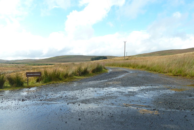
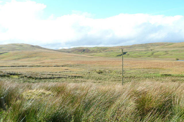
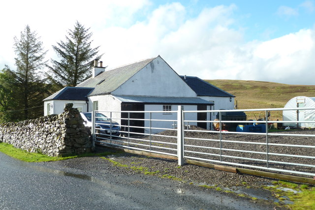
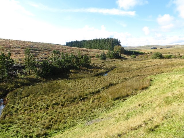
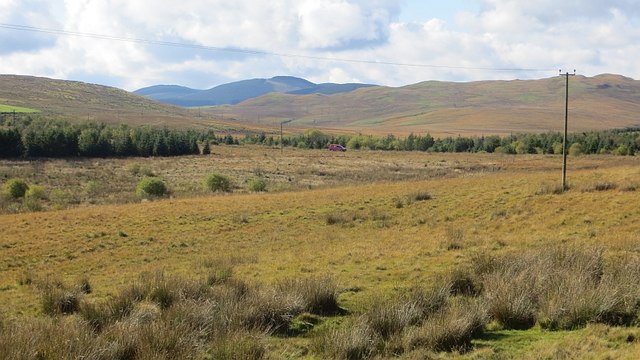
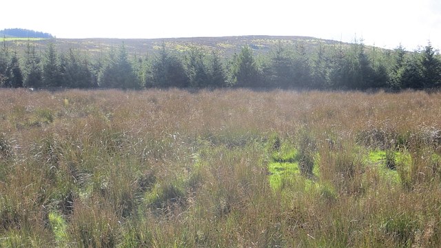
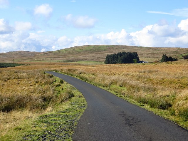
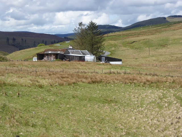
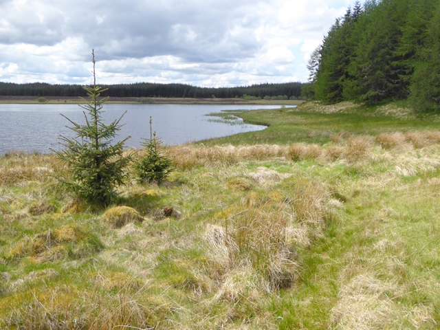
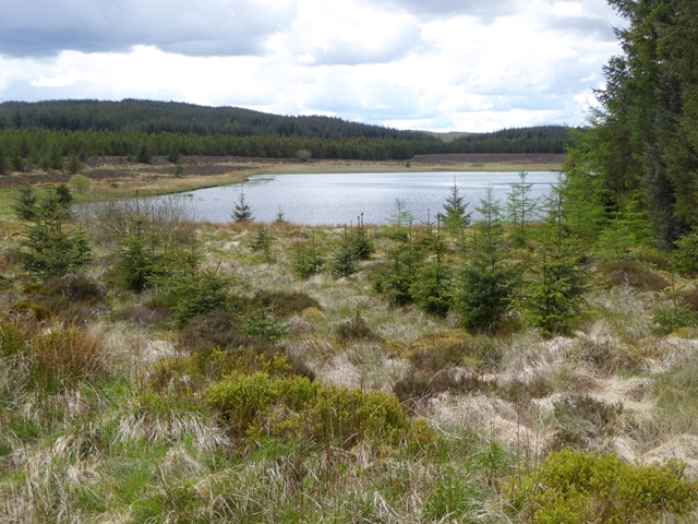
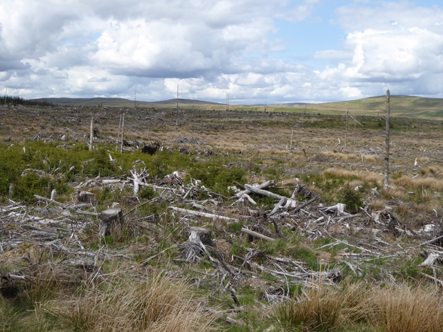
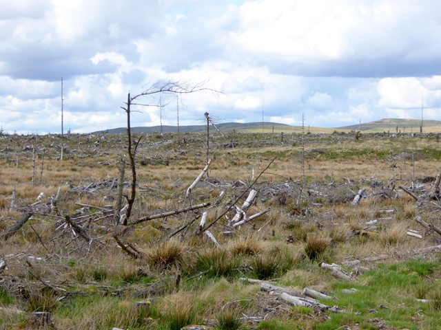
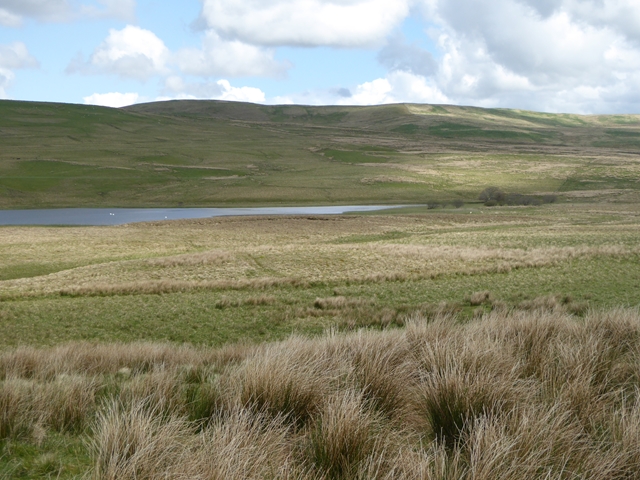
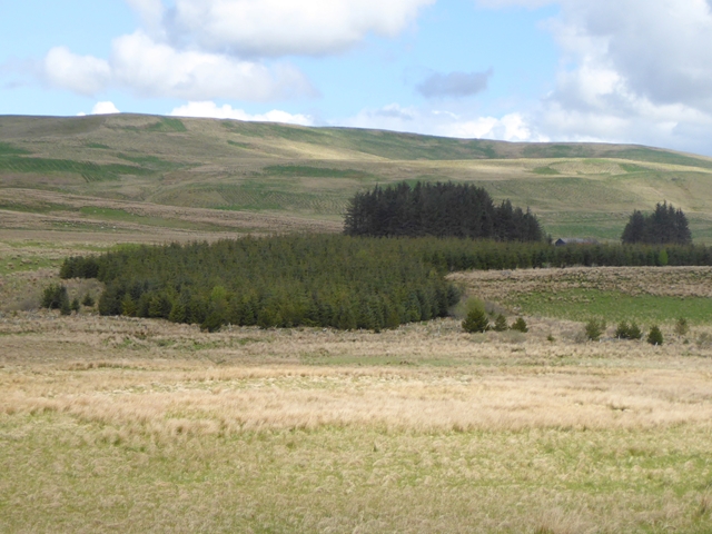
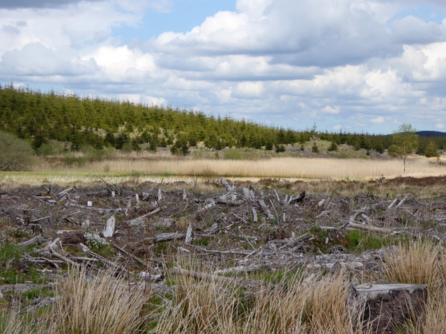
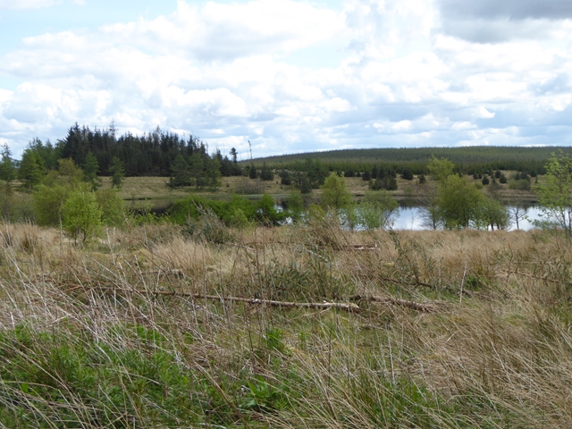
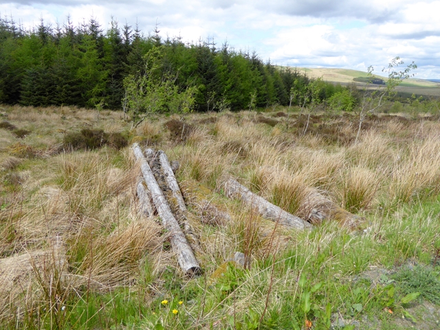
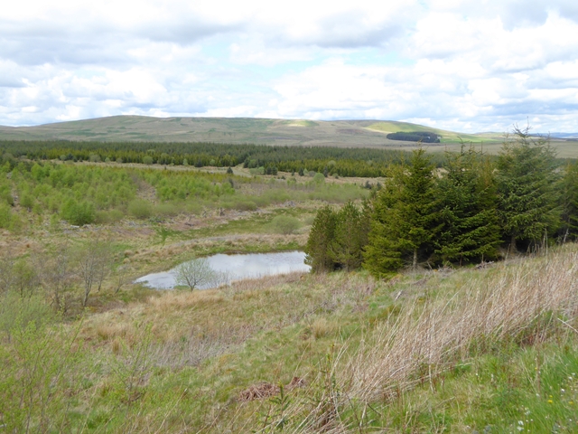
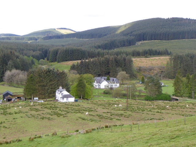
Crooked Loch Images
Images are sourced within 2km of 55.415082/-3.0211994 or Grid Reference NT3513. Thanks to Geograph Open Source API. All images are credited.
Crooked Loch is located at Grid Ref: NT3513 (Lat: 55.415082, Lng: -3.0211994)
Unitary Authority: The Scottish Borders
Police Authority: The Lothians and Scottish Borders
What 3 Words
///scratches.offers.split. Near Ettrick, Scottish Borders
Nearby Locations
Related Wikis
Buccleuch, Scottish Borders
East and West Buccleuch ( bə-KLOO) are two homesteads in the Scottish Borders, in the Ettrick parish of historic Selkirkshire. They are located off the...

Craik Forest
Craik Forest is a forest near Hawick in the Scottish Borders area of Scotland, and managed by the Forestry Commission. It is adjoined to the south-west...

Alemoor Loch
Alemoor Loch, also known as Alemoor Reservoir, is a small reservoir in the Scottish Borders area of Scotland. It is situated on the Ale Water, 10 kilometres...

Craik, Scottish Borders
Craik is a hamlet in Craik Forest, by the Airhouse Burn in the Scottish Borders area of Scotland, close to Roberton, Scottish Borders (grid reference NT348084...
Have you been to Crooked Loch?
Leave your review of Crooked Loch below (or comments, questions and feedback).