Boretree Tarn
Lake, Pool, Pond, Freshwater Marsh in Lancashire South Lakeland
England
Boretree Tarn

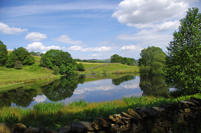
Boretree Tarn is a picturesque freshwater body located in Lancashire, England. Nestled amidst the serene countryside, this small lake, often referred to as a tarn, is a hidden gem that offers a tranquil retreat for nature enthusiasts and outdoor lovers.
Covering an area of approximately 2 hectares, Boretree Tarn boasts crystal-clear waters that reflect the surrounding verdant landscape. It is situated within Boretree Nature Reserve, which is known for its diverse ecosystem and rich biodiversity. The tarn serves as a vital habitat for various species of aquatic plants and animals, including water lilies, reeds, and dragonflies.
Surrounded by lush vegetation and mature trees, Boretree Tarn creates a haven for birdwatchers, as it attracts a wide range of bird species throughout the year. Common sightings include mallards, coots, herons, and occasionally, kingfishers. The tranquil atmosphere and abundant wildlife make it an ideal spot for nature photography and peaceful walks along its perimeter.
Boretree Tarn also features a small wooden jetty, providing visitors with the opportunity to experience the lake up close. Fishing is permitted in the tarn, and anglers can expect to catch species such as carp, roach, and perch.
The tarn is easily accessible, with a nearby parking area and well-maintained footpaths leading to its shores. There are picnic benches scattered around the tarn, allowing visitors to relax and enjoy the beautiful surroundings.
Overall, Boretree Tarn is a hidden treasure in Lancashire, offering a peaceful and idyllic setting for nature lovers to immerse themselves in the beauty of the natural world.
If you have any feedback on the listing, please let us know in the comments section below.
Boretree Tarn Images
Images are sourced within 2km of 54.277616/-2.9929851 or Grid Reference SD3587. Thanks to Geograph Open Source API. All images are credited.


Boretree Tarn is located at Grid Ref: SD3587 (Lat: 54.277616, Lng: -2.9929851)
Administrative County: Cumbria
District: South Lakeland
Police Authority: Cumbria
What 3 Words
///finds.hairspray.goose. Near Grange-over-Sands, Cumbria
Nearby Locations
Related Wikis
Finsthwaite Heights
Finsthwaite Heights is an upland area in the English Lake District, above Finsthwaite, Cumbria. It is the subject of a chapter of Wainwright's book The...

Finsthwaite
Finsthwaite is a small village in the South Lakeland district, in the county of Cumbria, England. It is located near the Furness Fells and Windermere....
St Peter's Church, Finsthwaite
St Peter's Church is in the village of Finsthwaite, Cumbria, England. It is an active Anglican parish church in the deanery of Windermere, the archdeaconry...
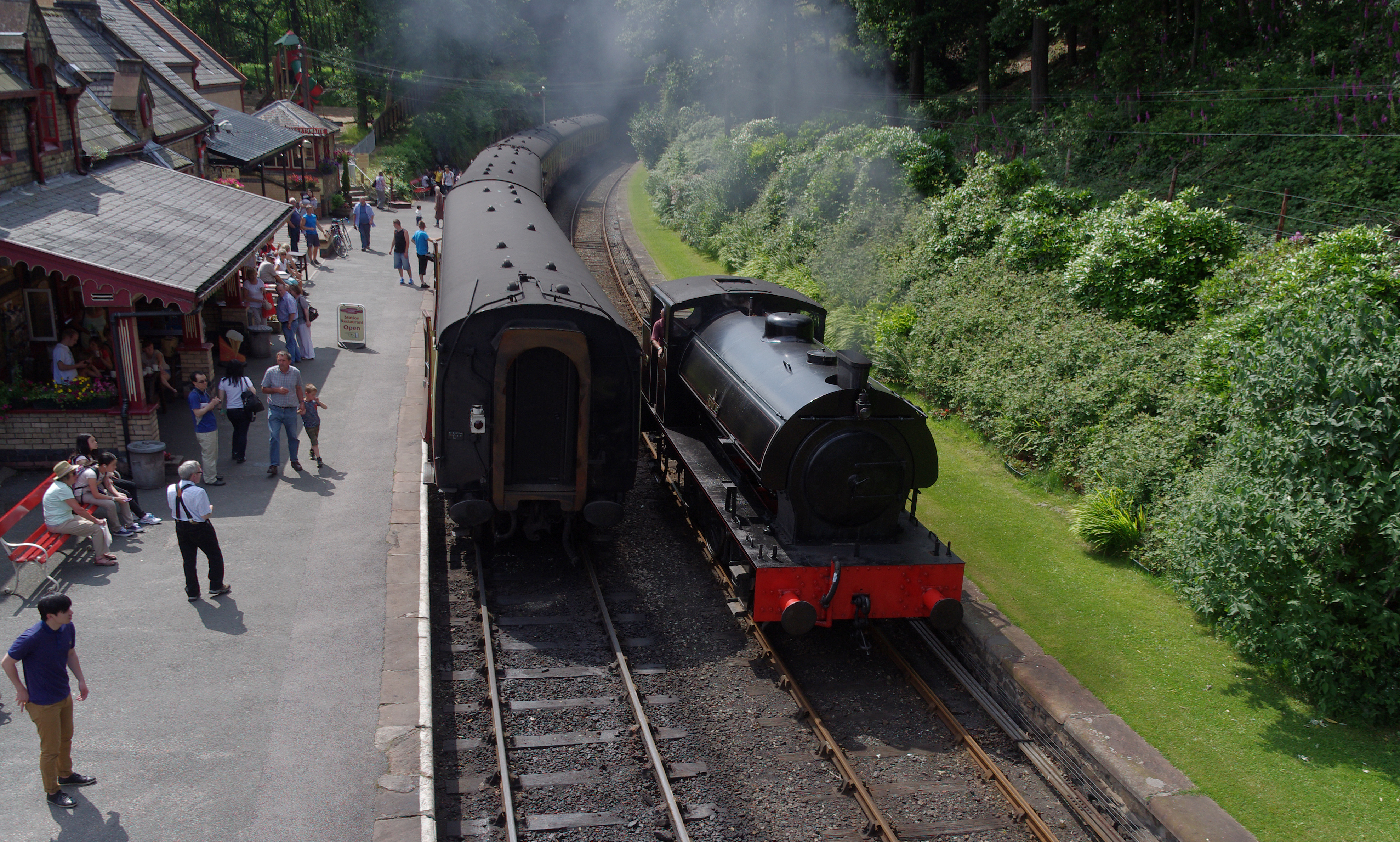
Lakeside and Haverthwaite Railway
The Lakeside and Haverthwaite Railway (L&HR) is a 3.2-mile-long (5.1 km) heritage railway in Cumbria, England. == Location == The L&HR runs from Haverthwaite...
Nearby Amenities
Located within 500m of 54.277616,-2.9929851Have you been to Boretree Tarn?
Leave your review of Boretree Tarn below (or comments, questions and feedback).