Girnall Pot

Lake, Pool, Pond, Freshwater Marsh in Aberdeenshire

Scotland

Girnall Pot

The Spar shop at Bellabeg And the proprietor is a fount of local knowledge - very helpful to the tourist!  There is even a "Tourist Information" sign on the leaning pole - it must have had 'an incident'!
The Spar shop at Bellabeg Credit: Gordon Brown

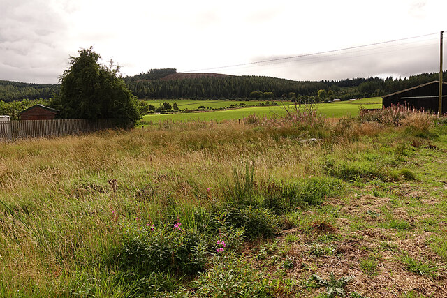
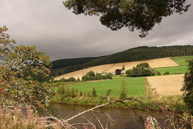
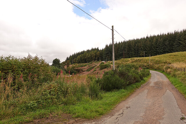
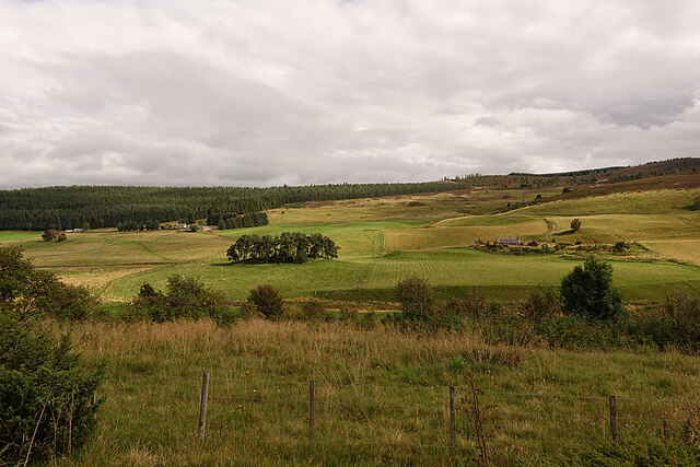
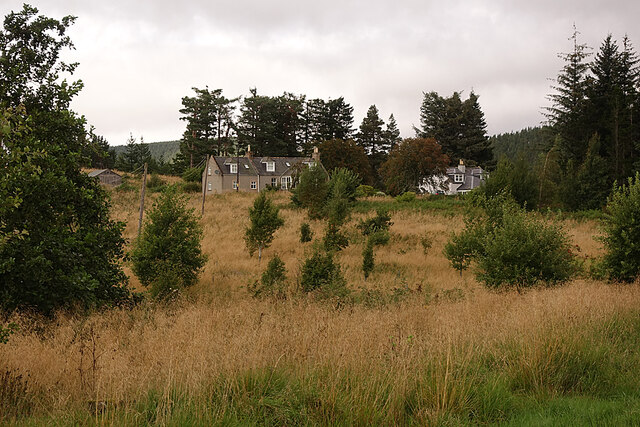
Girnall Pot is a small freshwater marsh located in the Aberdeenshire region of Scotland. Situated in a picturesque rural setting, it is a popular destination for nature enthusiasts and birdwatchers.

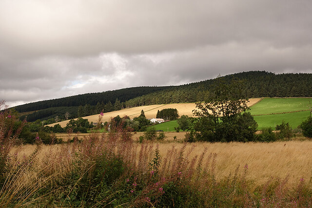
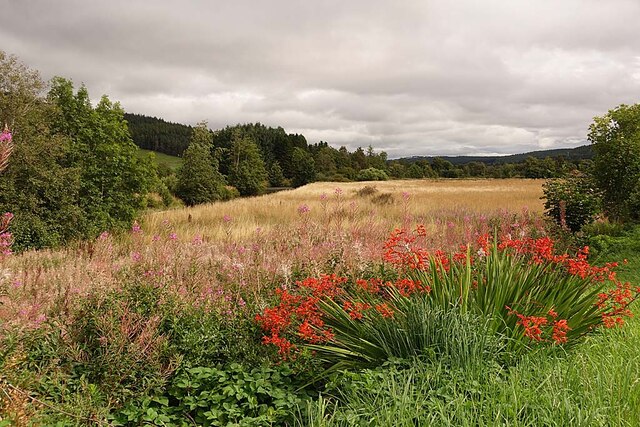
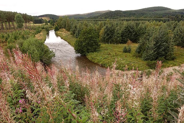
Covering an area of approximately 2 hectares, Girnall Pot is characterized by its calm and still waters, making it resemble a tranquil pool or pond. The water is predominantly clear, allowing visitors to observe the various aquatic plants and organisms that thrive in the marsh.

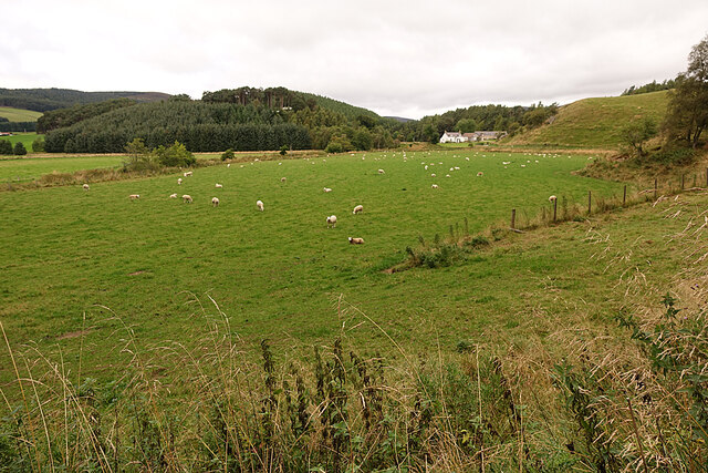
The marsh is surrounded by lush vegetation, including reeds, grasses, and shrubs, which provide a habitat for a diverse range of wildlife. Bird species such as mallards, swans, and grebes can often be spotted in and around the marsh, along with occasional visits from migrating birds.

Girnall Pot also serves as an important breeding ground for amphibians, with species such as frogs and toads using the marsh to lay their eggs and raise their young. The marsh's shallow waters and abundant vegetation provide an ideal environment for these amphibians to thrive.

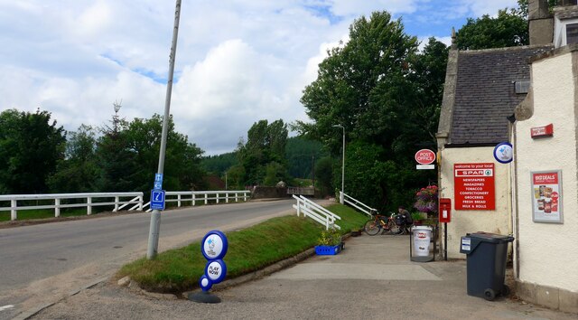
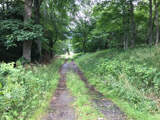
Visitors to Girnall Pot can enjoy the peaceful atmosphere and take leisurely walks along the marsh's edges. The site is well-maintained, with designated paths and observation points for visitors to fully appreciate the natural beauty and wildlife of the area. Girnall Pot offers a serene escape from the hustle and bustle of daily life, providing a haven for both nature enthusiasts and those seeking a moment of tranquility in the heart of Aberdeenshire.

If you have any feedback on the listing, please let us know in the comments section below.
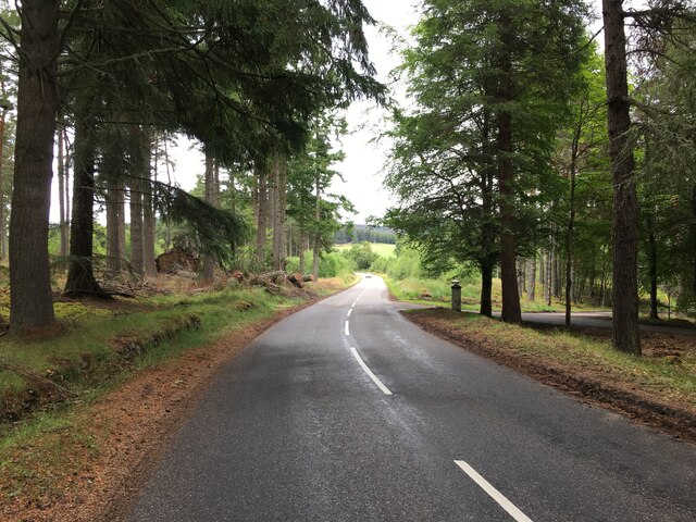
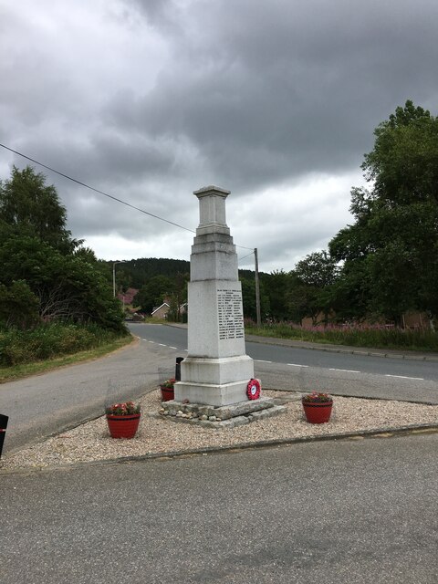
Girnall Pot Images

Images are sourced within 2km of 57.193098/-3.0751036 or Grid Reference NJ3511. Thanks to Geograph Open Source API. All images are credited.

The Spar shop at Bellabeg And the proprietor is a fount of local knowledge - very helpful to the tourist!  There is even a "Tourist Information" sign on the leaning pole - it must have had 'an incident'!
The Spar shop at Bellabeg
And the proprietor is a fount of local knowledge - very helpful to the tourist! There is even a "Tourist Information" sign on the leaning pole - it must have had 'an incident'!
Quiet Bellabeg street
Strathdon Looking across the River Don to the Colquhonnie Hotel, which stands on the northern slope above the strath.
Strathdon
Looking across the River Don to the Colquhonnie Hotel, which stands on the northern slope above the strath.
Haugh Land in Strathdon A haugh is an area of flat land beside a river, the equivalent of a flood plain or water meadow in England.
Haugh Land in Strathdon
A haugh is an area of flat land beside a river, the equivalent of a flood plain or water meadow in England.
Looking towards Bluefold Bluefold is the farm at the top of the fields, just below the edge of the forest on Tom a' Chaorainn.
Looking towards Bluefold
Bluefold is the farm at the top of the fields, just below the edge of the forest on Tom a' Chaorainn.
Looking towards Colquhonnie The River Don is in the foreground, and Colquhonnie is part-way up the sunlit fields on the far side.
Looking towards Colquhonnie
The River Don is in the foreground, and Colquhonnie is part-way up the sunlit fields on the far side.
Strathdon Parish Kirk This surprisingly elaborate Gothic kirk in a very rural parish was opened in 1852. It was funded by Charles Forbes of Newe and designed by James Matthews not long after his return from working with George Gilbert Scott in London. It occupies the same site as at least two earlier kirks, separated from the hamlet of Bellabeg by the River Don.
Strathdon Parish Kirk
This surprisingly elaborate Gothic kirk in a very rural parish was opened in 1852. It was funded by Charles Forbes of Newe and designed by James Matthews not long after his return from working with George Gilbert Scott in London. It occupies the same site as at least two earlier kirks, separated from the hamlet of Bellabeg by the River Don.
Sheep in Strathdon A flock of sheep grazes in a field beside the River Don. The house is at Brughs, in the next grid square.
Sheep in Strathdon
A flock of sheep grazes in a field beside the River Don. The house is at Brughs, in the next grid square.
River Don The river turns about 90º to the left here. This is looking upstream from above the bend.
River Don
The river turns about 90º to the left here. This is looking upstream from above the bend.
River Don Looking downstream from the road above where the river turns 90º to the left.
River Don
Looking downstream from the road above where the river turns 90º to the left.
Minor Road on Coulick Hill This is a very narrow minor road that gives access to various farms on the south side of Strathdon.
Minor Road on Coulick Hill
This is a very narrow minor road that gives access to various farms on the south side of Strathdon.
Camping Site A brightly coloured tent has been pitched on the camp site at Cairngorms Glamping <span class="nowrap"><a title="https://cairngormsglamping.com" rel="nofollow ugc noopener" href="https://cairngormsglamping.com">Link</a><img style="margin-left:2px;" alt="External link" title="External link - shift click to open in new window" src="https://s1.geograph.org.uk/img/external.png" width="10" height="10"/></span>.
Camping Site
A brightly coloured tent has been pitched on the camp site at Cairngorms Glamping LinkExternal link.
Glen Carvie The farm on the right is Stroin, and higher up on the left is Belnagauld.
Glen Carvie
The farm on the right is Stroin, and higher up on the left is Belnagauld.
Fields on Donside The River Don flows along this side of the smooth green field, its course marked by sporadic trees.
Fields on Donside
The River Don flows along this side of the smooth green field, its course marked by sporadic trees.
Knocklea The houses at Knocklea from the minor road along south Donside.
Knocklea
The houses at Knocklea from the minor road along south Donside.
Farm track near Milton
A944 near Roughpark
A944 near Roughpark
War memorial, Strathdon
Show me another place!

Girnall Pot is located at Grid Ref: NJ3511 (Lat: 57.193098, Lng: -3.0751036)

Unitary Authority: Aberdeenshire

Police Authority: North East

What 3 Words

///risking.plates.withdraws. Near Ballater, Aberdeenshire

Related Wikis

Strathdon

Strathdon (; Gaelic: Srath Dheathain) is an area in Aberdeenshire, Scotland. It is situated in the strath of the River Don, 45 miles west of Aberdeen in...

Bellabeg

Bellabeg (an anglicisation of Scottish Gaelic: Am Baile Beag, 'the small farmtown') is a small roadside settlement in Strathdon, Aberdeenshire, Scotland...

Doune of Invernochty

The Doune of Invernochty is a 12th-century castle in the Cairngorms National Park in Scotland, of which only earthworks survive. The Royal Commission on...

Lost, Aberdeenshire

Lost (Lòsda in Scottish Gaelic; population: less than 24; grid reference NJ349132 or on 1869 map) is a hamlet in Aberdeenshire, Scotland. It lies 40 miles...

Colquhonnie Castle

Colquhonnie Castle is a ruined 16th-century tower house, about 10.5 miles (16.9 km) north of Ballater, Aberdeenshire, Scotland, around 1.0 mile (1.6 km...

Castle Newe

Castle Newe was a castellated mansion house, situated in Aberdeenshire, and designed in 1831 by Archibald Simpson. It was based on an existing Z-plan castle...

Glenbuchat Castle

Glenbuchat Castle is a historic Z plan Scottish castle built in 1590 for John Gordon of Cairnbarrow to mark his wedding. It is located above the River...

Grampian

Grampian (Scottish Gaelic: Roinn a' Mhonaidh) was one of nine former local government regions of Scotland created in 1975 by the Local Government (Scotland...

Nearby Amenities

Located within 500m of 57.193098,-3.0751036
Power: pole
Lat/Long: 57.1953891/-3.0758821
Power: pole
Lat/Long: 57.1957046/-3.076949
Power: pole
Lat/Long: 57.1959059/-3.0776041
Power: pole
Lat/Long: 57.1962452/-3.0785982
Power: pole
Lat/Long: 57.1964529/-3.0792049
The data included in this document is from www.openstreetmap.org. The data is made available under ODbL.

Have you been to Girnall Pot?

Leave your review of Girnall Pot below (or comments, questions and feedback).