Clure Pool

Lake, Pool, Pond, Freshwater Marsh in Peeblesshire

Scotland

Clure Pool

Innerleithen from Traquair A view from the Southern Upland Way to the town with Lee Pen in cloud beyond.
Innerleithen from Traquair Credit: Jim Barton

Clure Pool is a picturesque freshwater marsh located in Peeblesshire, Scotland. Situated in the heart of the beautiful countryside, this natural wonder is a popular destination for nature enthusiasts and visitors seeking tranquility.

Covering an area of approximately [insert size], Clure Pool boasts an abundance of aquatic plants and wildlife, making it an important ecological site. The pool is primarily fed by rainwater, maintaining a constant flow that sustains the diverse flora and fauna that call this place home.

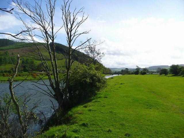
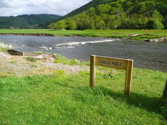
The water of Clure Pool is crystal clear and teeming with life. Visitors can expect to see a variety of aquatic plants such as water lilies, reeds, and sedges, creating a vibrant and colorful landscape. The pool also provides a habitat for numerous species of fish, including pike, perch, and roach, which attract anglers from near and far.

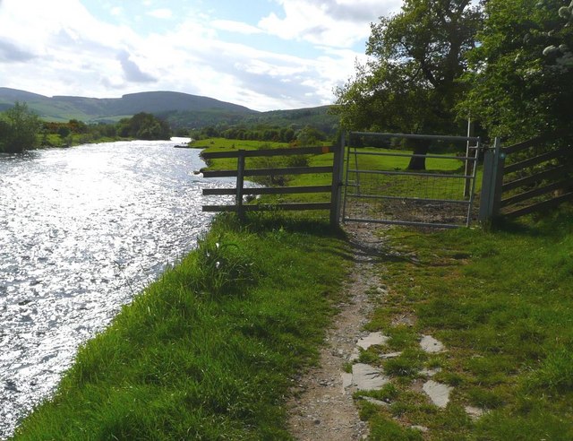
In addition to its rich biodiversity, Clure Pool offers breathtaking views of the surrounding countryside. The pool is surrounded by rolling hills and verdant meadows, providing a scenic backdrop for visitors to enjoy. It is a haven for birdwatchers, as the marsh attracts a wide variety of bird species throughout the year, including herons, swans, and ducks.

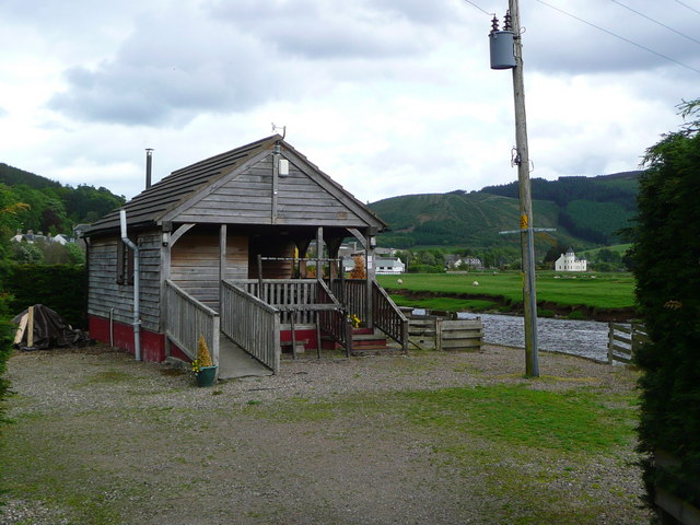
Clure Pool is easily accessible, with well-maintained footpaths and designated viewing areas. It is an ideal location for nature walks, picnics, and photography enthusiasts. Visitors are reminded to respect the delicate ecosystem and wildlife, ensuring that the pool remains a pristine and serene environment for all to enjoy.

If you have any feedback on the listing, please let us know in the comments section below.
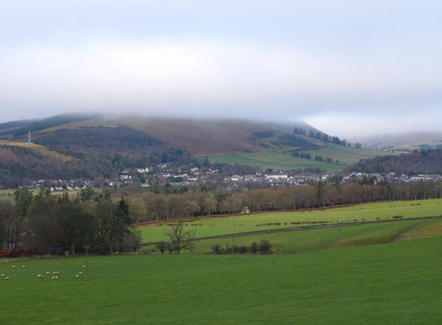
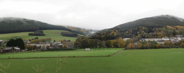
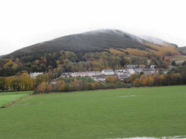
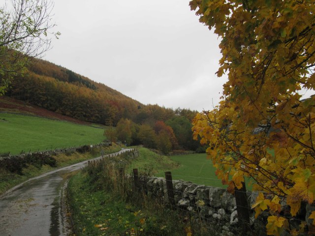
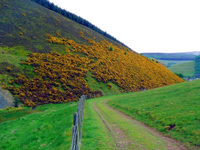
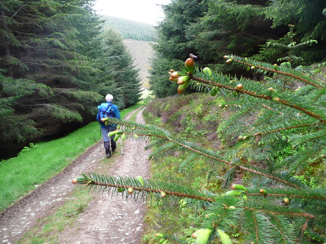
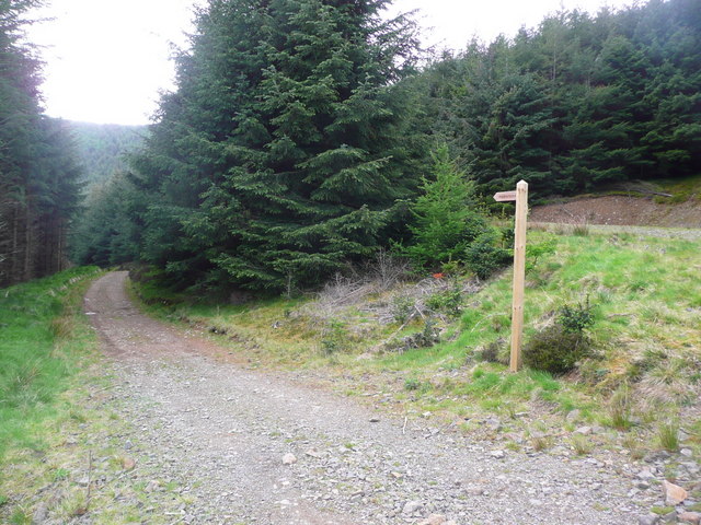
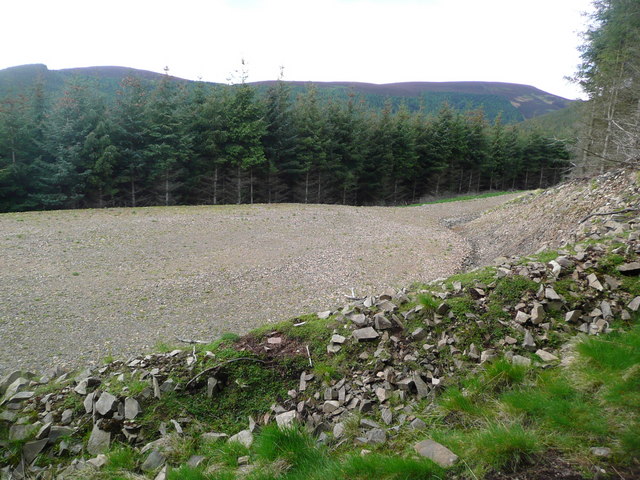
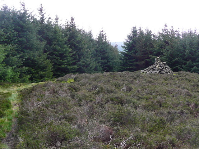
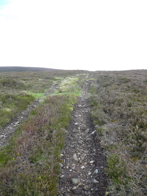
Clure Pool Images

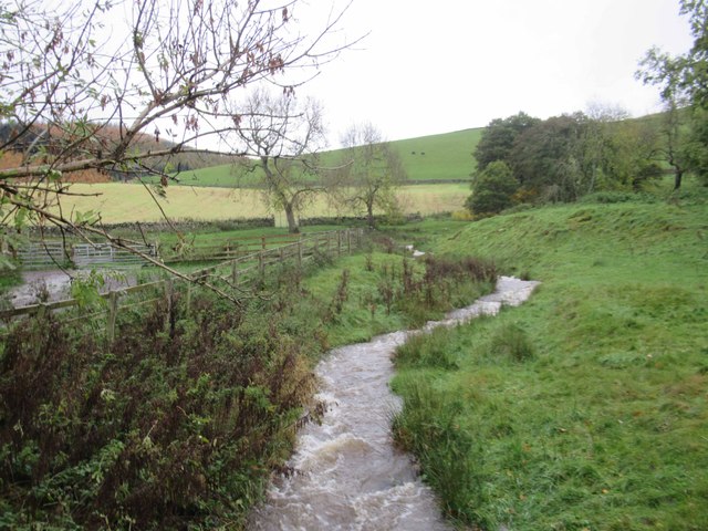
Images are sourced within 2km of 55.622256/-3.0356795 or Grid Reference NT3437. Thanks to Geograph Open Source API. All images are credited.

Innerleithen from Traquair A view from the Southern Upland Way to the town with Lee Pen in cloud beyond.
Innerleithen from Traquair
A view from the Southern Upland Way to the town with Lee Pen in cloud beyond.
View towards Walkerburn Rugby ground and Cairn Hill with a bit of cloud.
View towards Walkerburn
Rugby ground and Cairn Hill with a bit of cloud.
View towards Walkerburn and Cairn Hill
Autumnal Colours near West Bold
West Bold Cottages
West Bold Cottages
Plora Burn
Plora Burn
West Bold Farmhouse
West Bold Farmhouse
Caberston Coffee Shop, Walkerburn This coffee shop is located on the north side of the A72 in the village centre.
Caberston Coffee Shop, Walkerburn
This coffee shop is located on the north side of the A72 in the village centre.
The Tweed at Innerleithen The disused railway bridge (the Haugh-head Viaduct, opened 1866 by North British Rail) in the distance.
The Tweed at Innerleithen
The disused railway bridge (the Haugh-head Viaduct, opened 1866 by North British Rail) in the distance.
Gate by the Tweed at Innerleithen
The Cauld Hole on the Tweed at Walkerburn The 'Weir Pool' above the weir where fish stop to rest before continuing on up the river.
The Cauld Hole on the Tweed at Walkerburn
The 'Weir Pool' above the weir where fish stop to rest before continuing on up the river.
Superior fishing hut on the Tweed Fishing the Tweed for salmon can be expensive, and clients expect decent facilities.  This hut provides shelter and a seat when break time comes.  Note the rod support outside between the two sets of steps.
Superior fishing hut on the Tweed
Fishing the Tweed for salmon can be expensive, and clients expect decent facilities. This hut provides shelter and a seat when break time comes. Note the rod support outside between the two sets of steps.
Gorse in exuberant form above Walkerburn
Budding conifers on the Priesthope track Approaching Walkerburn
Budding conifers on the Priesthope track
Approaching Walkerburn
Walkers' signs at Priesthope To the left for Walkerburn, to the right for Innerleithen.
Walkers' signs at Priesthope
To the left for Walkerburn, to the right for Innerleithen.
Forest track development above Walkerburn A huge metalled turning area at the end of the forest track has been created here by extensive excavation.  The forest appears mature and this may signify imminent harvesting.
Forest track development above Walkerburn
A huge metalled turning area at the end of the forest track has been created here by extensive excavation. The forest appears mature and this may signify imminent harvesting.
The lower cairn on Cairn Hill
Track on Kirnie Law
Track on Kirnie Law
Show me another place!

Clure Pool is located at Grid Ref: NT3437 (Lat: 55.622256, Lng: -3.0356795)

Unitary Authority: The Scottish Borders

Police Authority: The Lothians and Scottish Borders

What 3 Words

///thatched.juggle.senior. Near Innerleithen, Scottish Borders

Related Wikis

Nearby Amenities

Located within 500m of 55.622256,-3.0356795
Plora Wood
Place: locality
Lat/Long: 55.6195494/-3.0311196
Power: pole
Lat/Long: 55.6200283/-3.0425557
Power: pole
Lat/Long: 55.6201843/-3.0401176
Material: wood
Power: pole
Lat/Long: 55.620068/-3.0387336
Material: wood
Power: pole
Lat/Long: 55.6201558/-3.0368105
Power: pole
Lat/Long: 55.6203812/-3.0288784
Power: pole
Lat/Long: 55.6201073/-3.0413208
The data included in this document is from www.openstreetmap.org. The data is made available under ODbL.

Have you been to Clure Pool?

Leave your review of Clure Pool below (or comments, questions and feedback).