Poldullie Pot

Lake, Pool, Pond, Freshwater Marsh in Aberdeenshire

Scotland

Poldullie Pot

The Spar shop at Bellabeg And the proprietor is a fount of local knowledge - very helpful to the tourist!  There is even a "Tourist Information" sign on the leaning pole - it must have had 'an incident'!
The Spar shop at Bellabeg Credit: Gordon Brown

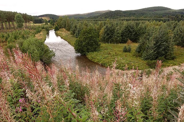
Poldullie Pot is a stunning freshwater body located in Aberdeenshire, Scotland. This picturesque lake, also known as a pool or pond, is nestled amidst the beautiful countryside, offering a serene and tranquil environment for visitors to enjoy.

Covering an area of approximately 2 acres, Poldullie Pot boasts crystal-clear waters that are fed by natural springs, ensuring a constant flow of fresh water. The pot is surrounded by lush green vegetation, including reeds and water lilies, creating a rich and diverse habitat for various plant and animal species.

The freshwater marsh surrounding the pot is home to a plethora of wildlife, including ducks, swans, and various species of fish. The marshland provides an ideal breeding ground for these creatures and serves as an important ecosystem in the region.

Poldullie Pot is a popular destination for nature enthusiasts and outdoor lovers. It offers a range of activities for visitors to enjoy, such as fishing, boating, and bird-watching. Anglers can try their luck catching brown trout or perch in the pot's well-stocked waters. The lake is also a great spot for picnicking, with its serene ambiance and breathtaking views.

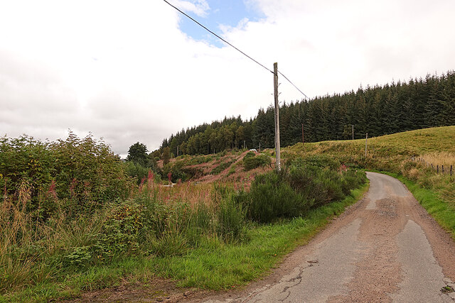
Access to Poldullie Pot is convenient, with a designated car park and a well-maintained footpath leading visitors to the water's edge. The pot is easily accessible from nearby villages and towns, making it an ideal day trip destination for locals and tourists alike.

Overall, Poldullie Pot is a hidden gem in Aberdeenshire, offering a peaceful retreat from the hustle and bustle of everyday life. Its natural beauty, diverse wildlife, and recreational opportunities make it a must-visit location for nature lovers and those seeking a tranquil escape.

If you have any feedback on the listing, please let us know in the comments section below.

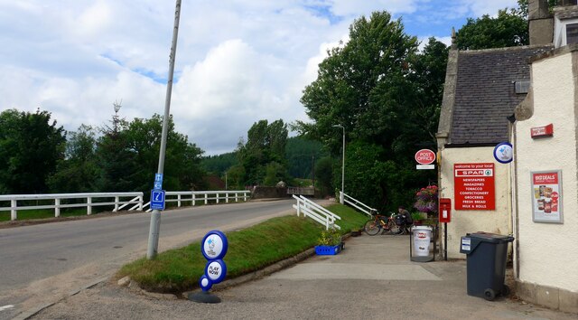
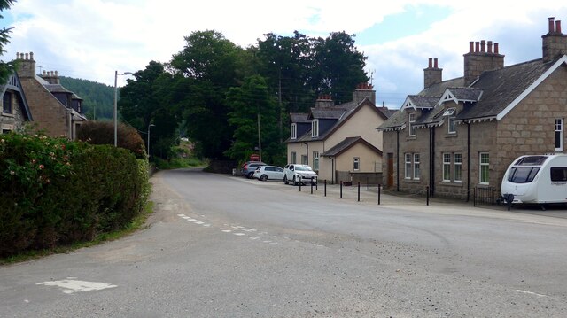
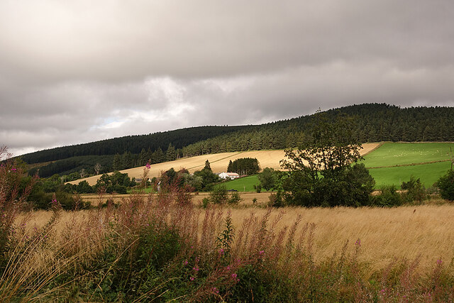
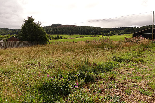
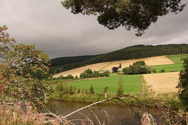
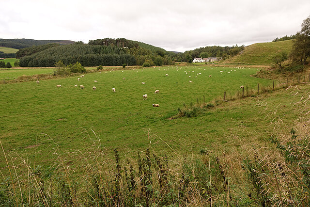
Poldullie Pot Images

Images are sourced within 2km of 57.199196/-3.0794847 or Grid Reference NJ3412. Thanks to Geograph Open Source API. All images are credited.

The Spar shop at Bellabeg And the proprietor is a fount of local knowledge - very helpful to the tourist!  There is even a "Tourist Information" sign on the leaning pole - it must have had 'an incident'!
The Spar shop at Bellabeg
And the proprietor is a fount of local knowledge - very helpful to the tourist! There is even a "Tourist Information" sign on the leaning pole - it must have had 'an incident'!
Quiet Bellabeg street
Strathdon Looking across the River Don to the Colquhonnie Hotel, which stands on the northern slope above the strath.
Strathdon
Looking across the River Don to the Colquhonnie Hotel, which stands on the northern slope above the strath.
Looking towards Bluefold Bluefold is the farm at the top of the fields, just below the edge of the forest on Tom a' Chaorainn.
Looking towards Bluefold
Bluefold is the farm at the top of the fields, just below the edge of the forest on Tom a' Chaorainn.
Looking towards Colquhonnie The River Don is in the foreground, and Colquhonnie is part-way up the sunlit fields on the far side.
Looking towards Colquhonnie
The River Don is in the foreground, and Colquhonnie is part-way up the sunlit fields on the far side.
Strathdon Parish Kirk This surprisingly elaborate Gothic kirk in a very rural parish was opened in 1852. It was funded by Charles Forbes of Newe and designed by James Matthews not long after his return from working with George Gilbert Scott in London. It occupies the same site as at least two earlier kirks, separated from the hamlet of Bellabeg by the River Don.
Strathdon Parish Kirk
This surprisingly elaborate Gothic kirk in a very rural parish was opened in 1852. It was funded by Charles Forbes of Newe and designed by James Matthews not long after his return from working with George Gilbert Scott in London. It occupies the same site as at least two earlier kirks, separated from the hamlet of Bellabeg by the River Don.
Sheep in Strathdon A flock of sheep grazes in a field beside the River Don. The house is at Brughs, in the next grid square.
Sheep in Strathdon
A flock of sheep grazes in a field beside the River Don. The house is at Brughs, in the next grid square.
River Don The river turns about 90º to the left here. This is looking upstream from above the bend.
River Don
The river turns about 90º to the left here. This is looking upstream from above the bend.
River Don Looking downstream from the road above where the river turns 90º to the left.
River Don
Looking downstream from the road above where the river turns 90º to the left.
Minor Road on Coulick Hill This is a very narrow minor road that gives access to various farms on the south side of Strathdon.
Minor Road on Coulick Hill
This is a very narrow minor road that gives access to various farms on the south side of Strathdon.
Camping Site A brightly coloured tent has been pitched on the camp site at Cairngorms Glamping <span class="nowrap"><a title="https://cairngormsglamping.com" rel="nofollow ugc noopener" href="https://cairngormsglamping.com">Link</a><img style="margin-left:2px;" alt="External link" title="External link - shift click to open in new window" src="https://s1.geograph.org.uk/img/external.png" width="10" height="10"/></span>.
Camping Site
A brightly coloured tent has been pitched on the camp site at Cairngorms Glamping LinkExternal link.
Fields on Donside The River Don flows along this side of the smooth green field, its course marked by sporadic trees.
Fields on Donside
The River Don flows along this side of the smooth green field, its course marked by sporadic trees.
A944 near Roughpark
A944 near Roughpark
War memorial, Strathdon
A944 near Strathdon
A944 near Strathdon
Minor road, Strathdon
A944 near Strathdon
A944 near Strathdon
Bellabeg Bridge This bridge carries the A944 road over the Water of Nochty.

The plaque on the bridge says:

Blaikie Brothers
Engineers
1881
Aberdeen
Bellabeg Bridge
This bridge carries the A944 road over the Water of Nochty. The plaque on the bridge says: Blaikie Brothers Engineers 1881 Aberdeen
Show me another place!

Poldullie Pot is located at Grid Ref: NJ3412 (Lat: 57.199196, Lng: -3.0794847)

Unitary Authority: Aberdeenshire

Police Authority: North East

What 3 Words

///dumpy.jaws.campfires. Near Ballater, Aberdeenshire

Related Wikis

Nearby Amenities

Located within 500m of 57.199196,-3.0794847
Power: pole
Lat/Long: 57.1966808/-3.0855184
Power: pole
Lat/Long: 57.1974524/-3.0852199
Material: wood
Power: pole
Lat/Long: 57.198227/-3.0839585
Material: wood
Power: pole
Lat/Long: 57.1986887/-3.0832366
Material: wood
Power: pole
Lat/Long: 57.1992948/-3.0822901
Material: wood
Power: pole
Lat/Long: 57.1999162/-3.0812954
Material: wood
Power: pole
Lat/Long: 57.2005213/-3.0803309
Material: wood
Power: pole
Lat/Long: 57.2008993/-3.0797995
Power: pole
Lat/Long: 57.2013827/-3.0791197
Power: pole
Lat/Long: 57.2018921/-3.0784118
Power: pole
Lat/Long: 57.2022821/-3.0776678
Power: pole
Lat/Long: 57.2026677/-3.0769178
Power: pole
Lat/Long: 57.2030805/-3.0761217
Power: pole
Lat/Long: 57.1953891/-3.0758821
Power: pole
Lat/Long: 57.1957046/-3.076949
Power: pole
Lat/Long: 57.1959059/-3.0776041
Power: pole
Lat/Long: 57.1962452/-3.0785982
Power: pole
Lat/Long: 57.1964529/-3.0792049
Material: wood
Power: pole
Lat/Long: 57.1983247/-3.0823084
Material: wood
Power: pole
Lat/Long: 57.1979284/-3.0812817
Material: wood
Power: pole
Lat/Long: 57.1975455/-3.0802723
Power: pole
Lat/Long: 57.1970048/-3.0797283
Material: wood
Power: pole
Lat/Long: 57.2004716/-3.0781423
Material: wood
Power: pole
Lat/Long: 57.2016337/-3.074955
Material: wood
Power: pole
Lat/Long: 57.201393/-3.0756101
Material: wood
Power: pole
Lat/Long: 57.2011232/-3.0763188
Material: wood
Power: pole
Lat/Long: 57.200676/-3.0775409
Power: pole
Lat/Long: 57.2010272/-3.077968
Power: pole
Lat/Long: 57.2013872/-3.0783971
Sweet Donside Cabins
Tourism: chalet
Lat/Long: 57.1977003/-3.0815718
The data included in this document is from www.openstreetmap.org. The data is made available under ODbL.

Have you been to Poldullie Pot?

Leave your review of Poldullie Pot below (or comments, questions and feedback).