Well Pool

Lake, Pool, Pond, Freshwater Marsh in Peeblesshire

Scotland

Well Pool

Track approaching Damhead farm The track from Damhead Rig passes through the farmyard. The buildings at Traquair village are in the middle distance.
Track approaching Damhead farm Credit: Jim Barton

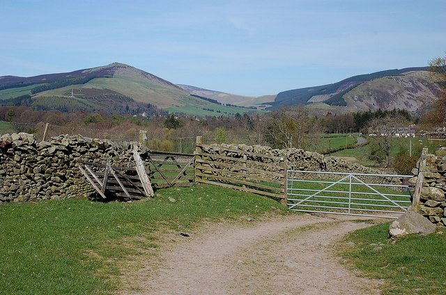
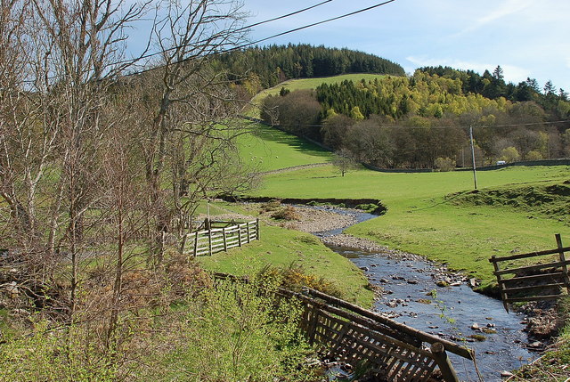
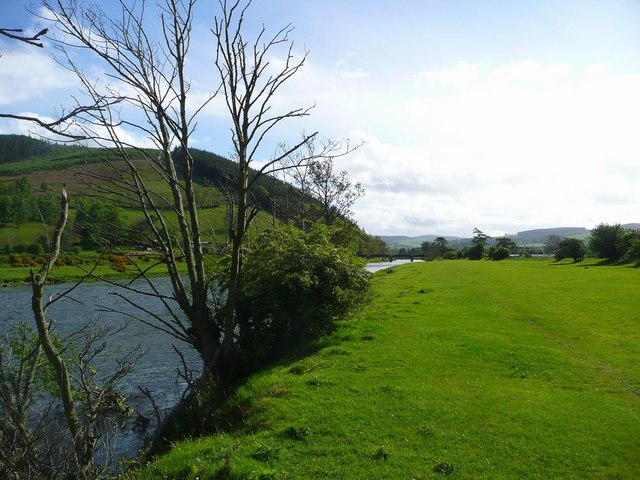
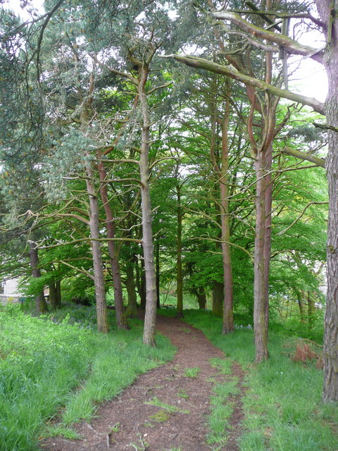
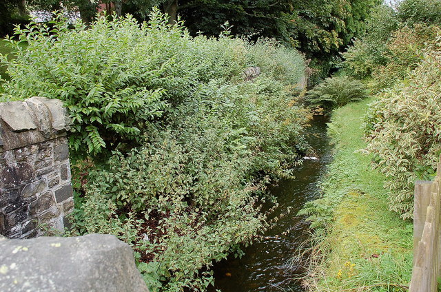
Well Pool is a freshwater marsh located in Peeblesshire, Scotland. It is a picturesque body of water that can be classified as both a lake and a pond due to its size and characteristics. The pool covers an area of approximately 2 acres and is surrounded by lush vegetation, including reeds and grasses.

The pool is fed by a natural spring, which ensures a constant flow of freshwater and maintains the pool's ecological balance. The water is clear and pristine, providing a habitat for a variety of aquatic plants and animals. The pool is home to several species of fish, including trout and perch, which thrive in its nutrient-rich waters.

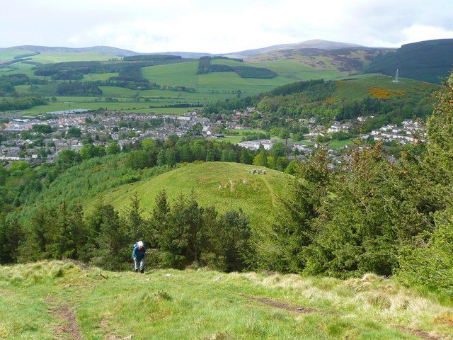
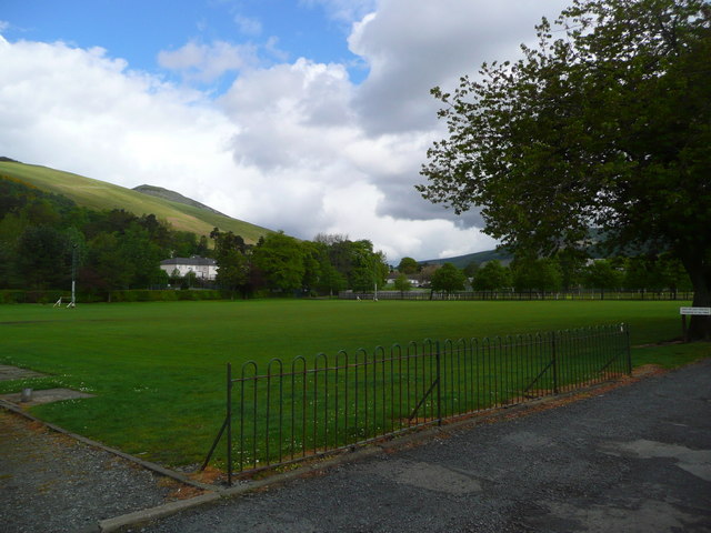
The surrounding marshland is teeming with wildlife, making it a popular spot for birdwatchers and nature enthusiasts. Visitors can often spot a wide range of bird species, such as ducks, swans, and herons, either swimming in the pool or nesting in the reeds. The marshland provides a vital habitat for many other animals, including frogs, newts, and water voles.

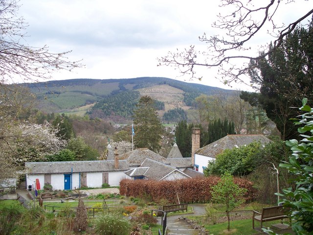
Well Pool is a tranquil and serene location, offering visitors a peaceful retreat away from the hustle and bustle of everyday life. The pool's natural beauty and diverse ecosystem make it a popular destination for photographers, artists, and those seeking to reconnect with nature. Its accessibility and scenic surroundings make it a perfect spot for leisurely walks and picnics, providing a delightful experience for all who visit.

If you have any feedback on the listing, please let us know in the comments section below.
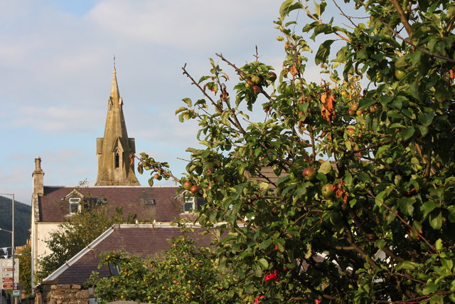
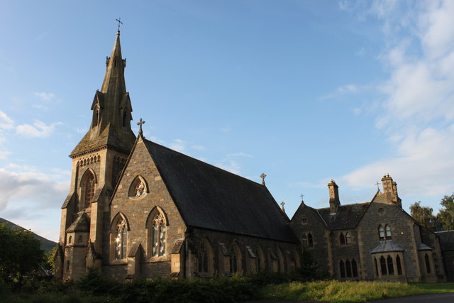
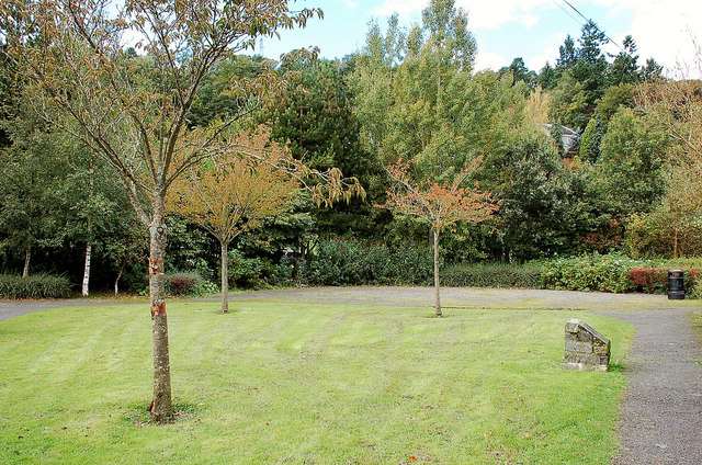
Well Pool Images

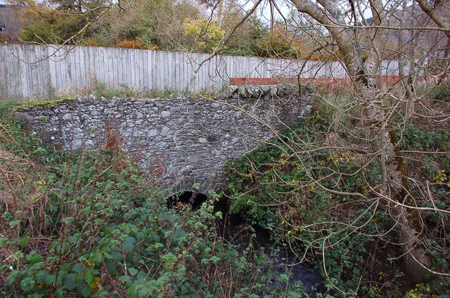
Images are sourced within 2km of 55.608352/-3.0654423 or Grid Reference NT3235. Thanks to Geograph Open Source API. All images are credited.

Track approaching Damhead farm The track from Damhead Rig passes through the farmyard. The buildings at Traquair village are in the middle distance.
Track approaching Damhead farm
The track from Damhead Rig passes through the farmyard. The buildings at Traquair village are in the middle distance.
Fingland Burn Seen from the road bridge, with Shaw Hill in the background.
Fingland Burn
Seen from the road bridge, with Shaw Hill in the background.
The Tweed at Innerleithen The disused railway bridge (the Haugh-head Viaduct, opened 1866 by North British Rail) in the distance.
The Tweed at Innerleithen
The disused railway bridge (the Haugh-head Viaduct, opened 1866 by North British Rail) in the distance.
Looking back on Pirn Hill and its viewpoint The seven stone plinths at the viewpoint above Innerleithen can be clarly seen.
Looking back on Pirn Hill and its viewpoint
The seven stone plinths at the viewpoint above Innerleithen can be clarly seen.
Path through the trees from Pirn Hill
Playing fields at Innerleithen
Coat of arms on St. Ronan's Well pavilion
St Ronans well pavilion from the rear garden
The Pavilion at St Ronan's well
War memorial at Traquair The solid looking memorial stands at a road junction; Lee Pen is the prominent hill beyond.
War memorial at Traquair
The solid looking memorial stands at a road junction; Lee Pen is the prominent hill beyond.
View towards the River Tweed near Innerleithen A pleasant view of the River Tweed and surrounding farmland at the start of August.
View towards the River Tweed near Innerleithen
A pleasant view of the River Tweed and surrounding farmland at the start of August.
View towards Innerleithen Looking across from the S.U.W. pathway towards Pirn Craig, with Lee Pen on the far left.
View towards Innerleithen
Looking across from the S.U.W. pathway towards Pirn Craig, with Lee Pen on the far left.
St. James Roman Catholic Church, Innerleithen A sunny day in Innerleithen, the Church Spire makes a superb backdrop to the fruits of the tree.
St. James Roman Catholic Church, Innerleithen
A sunny day in Innerleithen, the Church Spire makes a superb backdrop to the fruits of the tree.
St. James Roman Catholic Church, Innerleithen A blue sky background to a dramatic subject, a very pretty church, in a lovely village by the River Tweed.
St. James Roman Catholic Church, Innerleithen
A blue sky background to a dramatic subject, a very pretty church, in a lovely village by the River Tweed.
D-Day commemorative trees, Innerleithen Trees by the car park in Hall Street. A plaque on the stone plinth reads:

Three Trees Were Planted By
The Chairman Of
Innerleithen Traquair & Glen
Community Council
On The 6th June 1994
To Commemorate The
50th Anniversary Of The D-Day
Landings In France
D-Day commemorative trees, Innerleithen
Trees by the car park in Hall Street. A plaque on the stone plinth reads: Three Trees Were Planted By The Chairman Of Innerleithen Traquair & Glen Community Council On The 6th June 1994 To Commemorate The 50th Anniversary Of The D-Day Landings In France
Mill lade, Innerleithen The route of the lade here passes behind houses and under the Strand on its way to Caerlee Mill.
Mill lade, Innerleithen
The route of the lade here passes behind houses and under the Strand on its way to Caerlee Mill.
Mill lade in Innerleithen After leaving the Caerlee Mill, the 'Dam' here flows under the Main Street in a culvert to Robert Smail's printworks, where a waterwheel could be lowered into the flow when power was needed.
Mill lade in Innerleithen
After leaving the Caerlee Mill, the 'Dam' here flows under the Main Street in a culvert to Robert Smail's printworks, where a waterwheel could be lowered into the flow when power was needed.
Mill lade near Tweedbank farm The last waterwheel on the length of the mill lade was at Tweedbank farm, to power threshing machinery. The lade runs behind the Scott Motors premises, formerly Hogg Robertson's smithy, then past the site of Stewart's sawmill and Leithen Mill, now replaced by housing. In a few hundred metres it reaches the Tweed, close by the parent stream of the Leithen Water.
Mill lade near Tweedbank farm
The last waterwheel on the length of the mill lade was at Tweedbank farm, to power threshing machinery. The lade runs behind the Scott Motors premises, formerly Hogg Robertson's smithy, then past the site of Stewart's sawmill and Leithen Mill, now replaced by housing. In a few hundred metres it reaches the Tweed, close by the parent stream of the Leithen Water.
Show me another place!

Well Pool is located at Grid Ref: NT3235 (Lat: 55.608352, Lng: -3.0654423)

Unitary Authority: The Scottish Borders

Police Authority: The Lothians and Scottish Borders

What 3 Words

///comply.sleeper.spends. Near Innerleithen, Scottish Borders

Related Wikis

Traquair House

Traquair House, approximately 7 miles southeast of Peebles, is claimed to be the oldest continually inhabited house in Scotland. Whilst not strictly a...

Innerleithen railway station

Innerleithen railway station served the town of Innerleithen, Scottish Borders, Scotland from 1864 to 1962 on the Peebles Railway. == History == The station...

Leithen Water

Leithen Water (Scottish Gaelic: Leitheann / Abhainn Leitheinn) is a tributary of the River Tweed in Scotland. It rises in the Moorfoot Hills and joins...

Traquair

Traquair (Scottish Gaelic: Cille Bhrìghde) is a small village and civil parish in the Scottish Borders; until 1975 it was in the county of Peeblesshire...

Nearby Amenities

Located within 500m of 55.608352,-3.0654423
Traquair House
Addr City: Innerleithen
Addr Postcode: EH44 6PW
Fhrs Id: 28410
Phone: +44 18 96 83 03 23
Tourism: guest_house
Website: https://www.traquair.co.uk/
Lat/Long: 55.6083811/-3.06397
Barrier: kissing_gate
Lat/Long: 55.6123783/-3.0651126
Cafe
Garden Cafe
Lat/Long: 55.6070318/-3.0661149
Noexit: yes
Lat/Long: 55.6083047/-3.063623
Noexit: yes
Lat/Long: 55.6082632/-3.063669
Noexit: yes
Lat/Long: 55.6084934/-3.0635074
Noexit: yes
Lat/Long: 55.608686/-3.0631153
Entrance: main
Lat/Long: 55.608555/-3.0636121
Entrance: exit
Lat/Long: 55.6085775/-3.0636122
Power: pole
Lat/Long: 55.6057382/-3.0600013
Power: pole
Lat/Long: 55.6059665/-3.0611478
Power: pole
Lat/Long: 55.6060812/-3.0618374
Power: pole
Lat/Long: 55.6058709/-3.0628845
Power: pole
Lat/Long: 55.6057346/-3.0636545
Power: pole
Lat/Long: 55.6055662/-3.0645619
Power: pole
Lat/Long: 55.6053786/-3.0656344
Power: pole
Lat/Long: 55.6051228/-3.0673351
Power: pole
Lat/Long: 55.6049388/-3.068928
Shop: gift
Lat/Long: 55.6083439/-3.0645325
Craft: brewery
Lat/Long: 55.6083952/-3.0644118
Place Of Worship
Denomination: catholic
Religion: christian
Lat/Long: 55.6084486/-3.0642954
Bench
Lat/Long: 55.6082519/-3.0645104
Bench
Lat/Long: 55.6081345/-3.0643589
Bench
Lat/Long: 55.608268/-3.0644683
Bench
Lat/Long: 55.6081492/-3.0643312
Bench
Lat/Long: 55.6080973/-3.0636116
Bench
Lat/Long: 55.6076657/-3.0632288
The data included in this document is from www.openstreetmap.org. The data is made available under ODbL.

Have you been to Well Pool?

Leave your review of Well Pool below (or comments, questions and feedback).