Raby Mere
Lake, Pool, Pond, Freshwater Marsh in Cheshire
England
Raby Mere
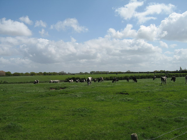
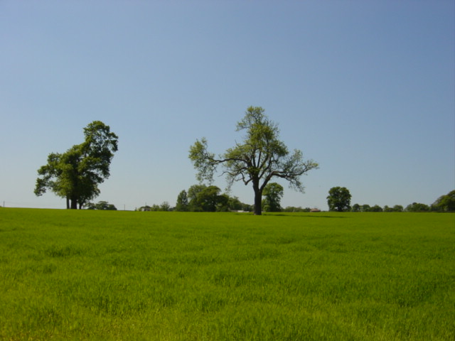
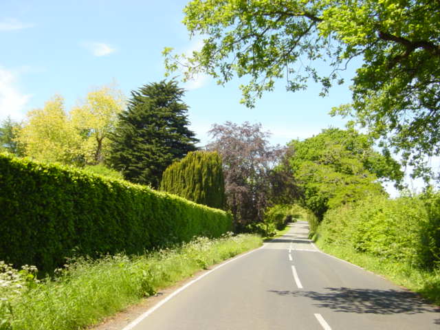
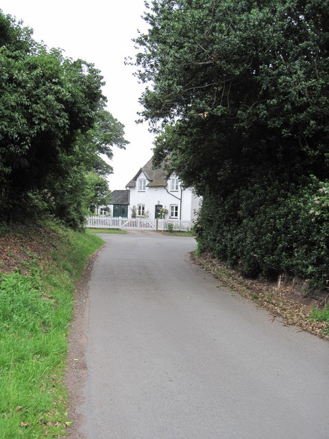
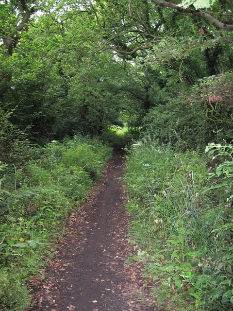
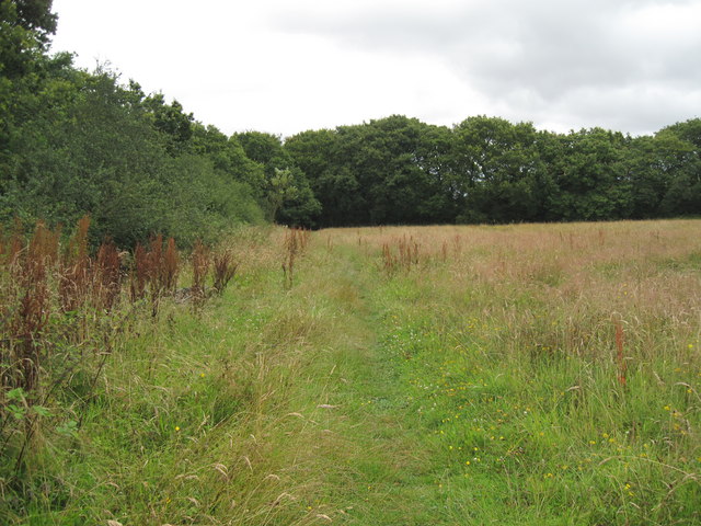
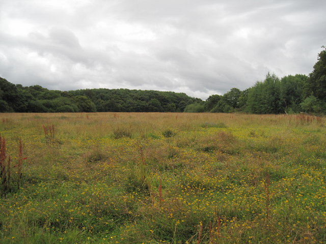
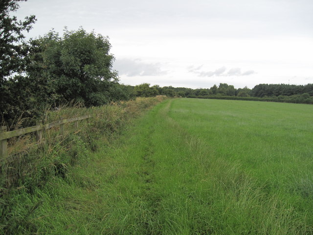
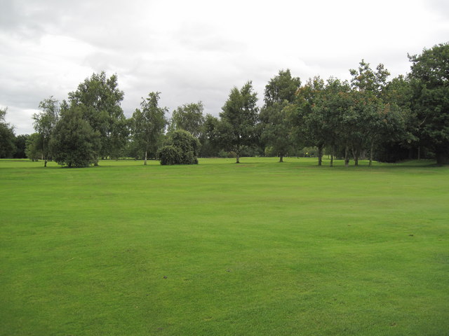
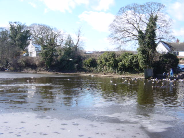
Raby Mere is a picturesque freshwater lake located in Cheshire, England. It is situated within the Raby Mere and Thurstaston Common Site of Special Scientific Interest (SSSI), an area known for its rich biodiversity. The mere covers an area of approximately 8.5 hectares and is surrounded by a diverse range of habitats, including woodlands, grasslands, and wetlands.
The lake itself is a popular destination for nature enthusiasts and offers a tranquil setting for visitors to enjoy. It is fed by a number of small streams and springs, ensuring a constant flow of freshwater. Raby Mere is home to a variety of aquatic plants, such as water lilies and reeds, which create a vibrant and colorful landscape.
The lake provides a habitat for numerous species of birds, making it a haven for birdwatchers. Visitors may spot common water birds such as mallards, coots, and moorhens, as well as more elusive species like herons and kingfishers. The surrounding woodlands are inhabited by woodland birds, including woodpeckers and warblers.
Raby Mere also supports a diverse range of wildlife. The wetland areas provide an ideal breeding ground for amphibians such as frogs and newts, while the grasslands attract insects like dragonflies and butterflies. The lake is also home to a variety of fish, including perch and carp.
Overall, Raby Mere in Cheshire offers a unique and diverse natural environment for both wildlife and visitors. Its tranquil setting, abundance of flora and fauna, and opportunities for birdwatching make it a must-visit location for nature lovers in the area.
If you have any feedback on the listing, please let us know in the comments section below.
Raby Mere Images
Images are sourced within 2km of 53.320026/-3.0076604 or Grid Reference SJ3280. Thanks to Geograph Open Source API. All images are credited.
Raby Mere is located at Grid Ref: SJ3280 (Lat: 53.320026, Lng: -3.0076604)
Unitary Authority: Wirral
Police Authority: Merseyside
What 3 Words
///erupt.drifting.carbon. Near Willaston, Cheshire
Nearby Locations
Related Wikis
Raby Mere
Raby Mere is a hamlet on the Wirral Peninsula, England. Adjacent to the Green Belt, woodland and open countryside, it is known for its mere, a lake that...

Poulton Hall
Poulton Hall is a country house in Poulton Road, Poulton, an area to the south of Bebington, Wirral, Merseyside, England. The present hall was built in...
Marfords Park
Marfords Park is a park located in Bromborough, Wirral, England. Marfords Park comprises 19,000 square metres (1.9 hectares; 4.7 acres) and consists of...

Bromborough railway station
Bromborough railway station is one of two stations serving the town of Bromborough in Merseyside, England. The station is situated on the Chester and Ellesmere...

Brotherton Park and Dibbinsdale Local Nature Reserve
Brotherton Park and Dibbinsdale Local Nature Reserve informally known as Dibbinsdale is a combined park and local nature reserve managed by the Metropolitan...
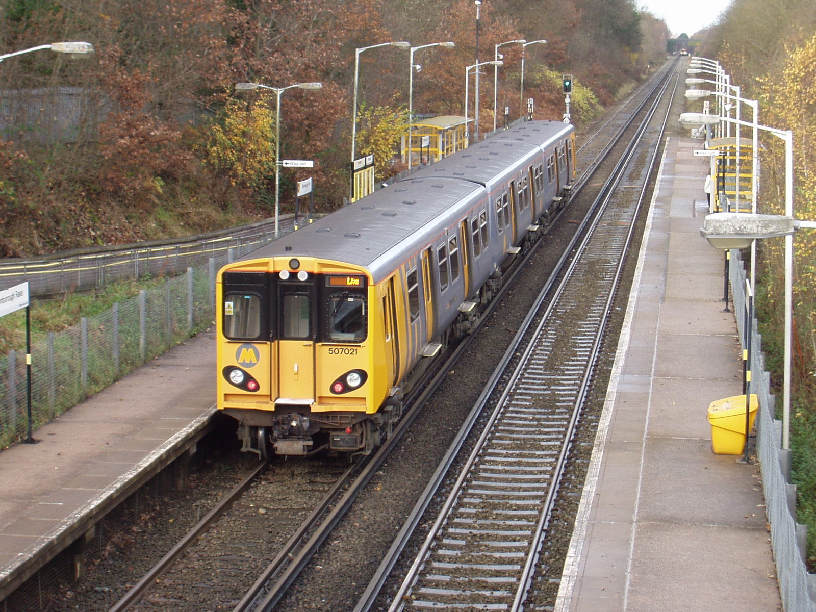
Bromborough Rake railway station
Bromborough Rake railway station is one of two stations serving the town of Bromborough in Merseyside, England. The station is situated on the Chester...
Claire House Children's Hospice
Claire House Children's Hospice is a children's hospice in Merseyside. The hospice helps seriously and terminally ill children from 0–23 years by providing...

Clatterbridge Hospital
Clatterbridge Hospital is a general hospital located on Clatterbridge Health Park in Bebington, Wirral, England. It is managed by Wirral University Teaching...
Nearby Amenities
Located within 500m of 53.320026,-3.0076604Have you been to Raby Mere?
Leave your review of Raby Mere below (or comments, questions and feedback).