Outer Basin
Lake, Pool, Pond, Freshwater Marsh in Cheshire
England
Outer Basin

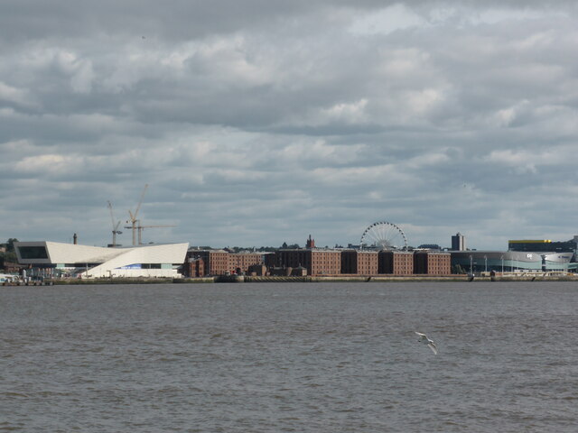
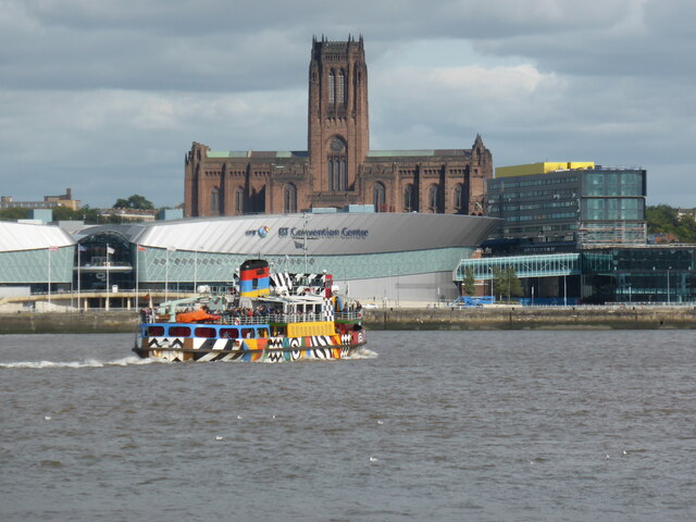
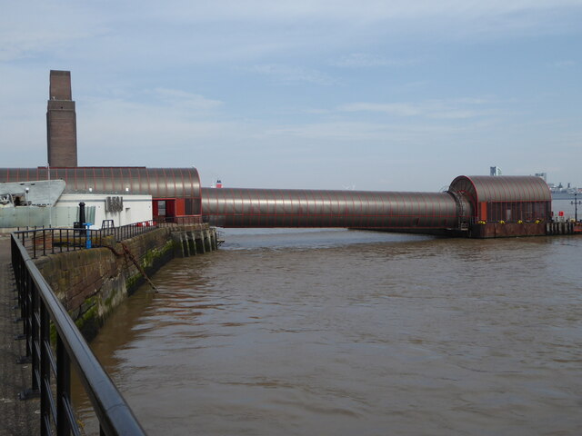
Outer Basin is a natural freshwater feature located in Cheshire, England. It is a pristine and picturesque area consisting of a lake, pool, pond, and a freshwater marsh. The basin is nestled within a lush and diverse ecosystem, showcasing the region's rich natural beauty.
The lake within Outer Basin is a significant feature, covering a considerable area and providing a serene and tranquil environment. It is characterized by its crystal-clear freshwater, which supports a variety of aquatic life, including fish, birds, and other wildlife. The lake's calm waters are perfect for boating and other water-based recreational activities, attracting visitors of all ages.
Adjacent to the lake is a smaller pool, which is shallower and surrounded by verdant vegetation. The pool serves as a habitat for various aquatic plants and animals, and its calm waters create a peaceful atmosphere for nature enthusiasts and photographers.
A pond is also present within Outer Basin, offering a smaller and more intimate setting. The pond is teeming with aquatic life, including small fish and invertebrates, and its still waters reflect the surrounding trees and vegetation, creating a picturesque scene.
Lastly, Outer Basin boasts a flourishing freshwater marsh. This wetland is characterized by its abundant reeds, grasses, and other aquatic vegetation. It serves as a vital habitat for numerous bird species, amphibians, and insects. The marsh is an excellent location for birdwatching and provides a unique opportunity to observe and study these fascinating creatures in their natural habitat.
Overall, Outer Basin in Cheshire is a stunning natural landscape, offering a diverse range of freshwater features, including a lake, pool, pond, and freshwater marsh. Its pristine beauty and abundant wildlife make it a popular destination for nature lovers and outdoor enthusiasts alike.
If you have any feedback on the listing, please let us know in the comments section below.
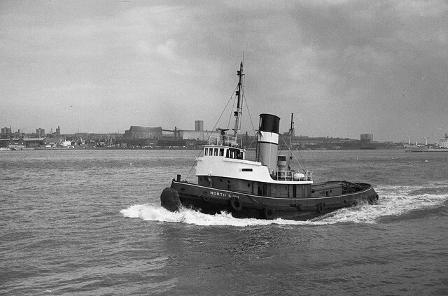
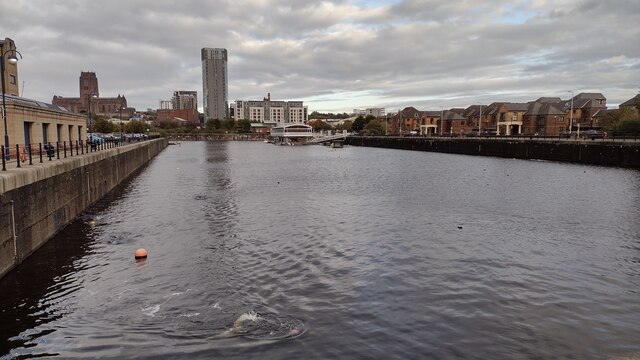
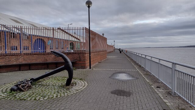
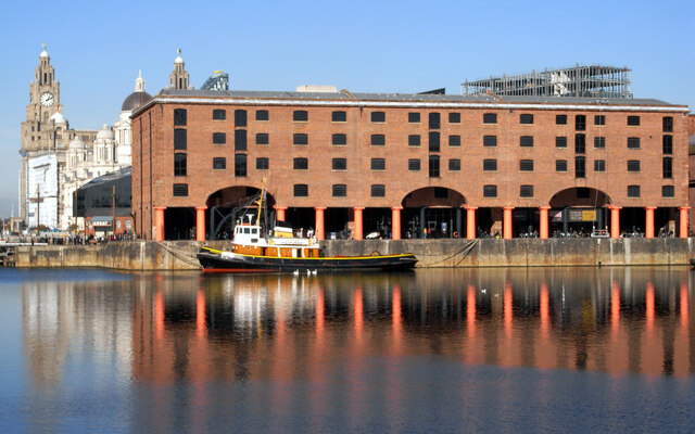
Outer Basin Images
Images are sourced within 2km of 53.385749/-3.0092572 or Grid Reference SJ3288. Thanks to Geograph Open Source API. All images are credited.


Outer Basin is located at Grid Ref: SJ3288 (Lat: 53.385749, Lng: -3.0092572)
Unitary Authority: Wirral
Police Authority: Merseyside
What 3 Words
///window.hiking.margin. Near Birkenhead, Merseyside
Nearby Locations
Related Wikis

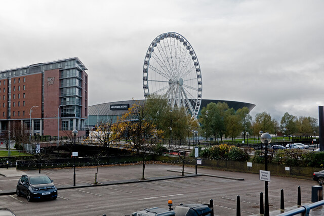
Wirral Waters
Wirral Waters is a large scale £4.5bn development currently being built by the Peel Group for Birkenhead, on the Wirral Peninsula, England. It is the sister...
Cammell Laird
Cammell Laird is a British shipbuilding company. It was formed from the merger of Laird Brothers of Birkenhead and Johnson Cammell & Co of Sheffield at...

Birkenhead Priory
Birkenhead Priory is in Priory Street, Birkenhead, Merseyside, England. It is the oldest standing building on Merseyside. The site comprises the medieval...

Monument to the Mersey Tunnel
The Monument to the Mersey Tunnel stands in Chester Street, Birkenhead, Wirral, Merseyside, England, near the western entrance to the Queensway Tunnel...

Green Lane railway station
Green Lane railway station serves the Tranmere area of Birkenhead, Merseyside, England. The station is situated on the Chester and Ellesmere Port branches...

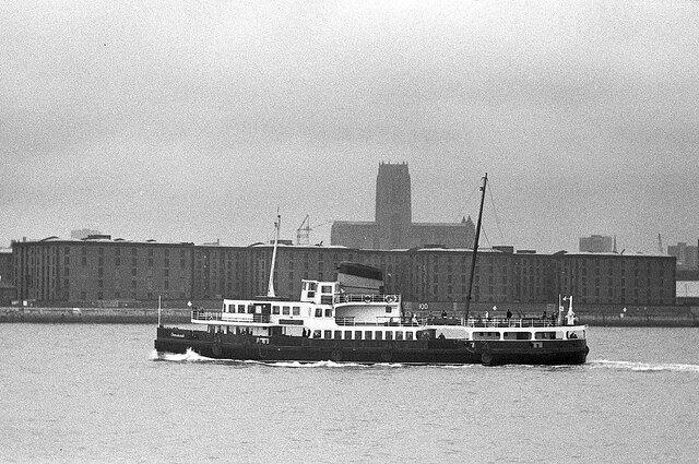
SS Douglas (1889)
SS (RMS) Douglas (III) – the third vessel in the line's history to bear the name – was a packet steamer which entered service with the London and South...
Birkenhead Monks Ferry railway station
Birkenhead Monks Ferry railway station was a railway station in Birkenhead, Wirral, England. It was situated very close to the River Mersey named after...

Birkenhead Town railway station
Birkenhead Town railway station is a disused railway station in Birkenhead, Wirral, England. It was located near the current entrance to the Queensway...
Nearby Amenities
Located within 500m of 53.385749,-3.0092572Have you been to Outer Basin?
Leave your review of Outer Basin below (or comments, questions and feedback).