Scales Tarn

Lake, Pool, Pond, Freshwater Marsh in Cumberland Eden

England

Scales Tarn

Wet bits below Bowscale Fell In the distance is Skiddaw.
Wet bits below Bowscale Fell Credit: Bill Boaden

Scales Tarn is a small freshwater lake located in the county of Cumberland, England. It is nestled within the picturesque Lake District National Park, known for its stunning natural scenery. The tarn is situated near the village of Mungrisdale, in close proximity to the larger bodies of water such as Derwentwater and Thirlmere.

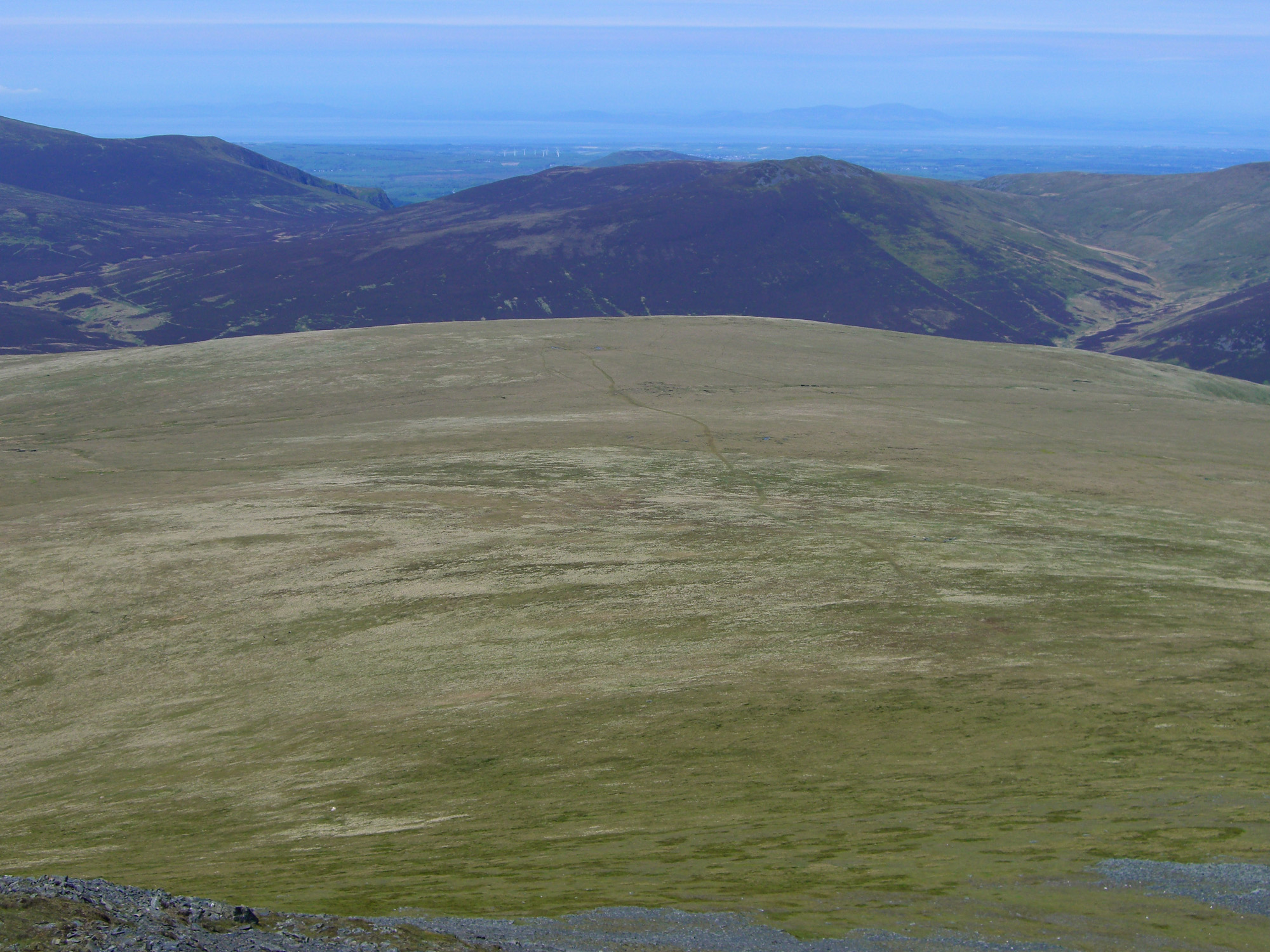
Covering an area of approximately 4.5 acres, Scales Tarn is a relatively small lake compared to its neighboring counterparts. It is surrounded by rolling hills and lush green vegetation, creating a tranquil and serene environment. The tarn is fed by natural springs and rainwater, ensuring a constant supply of fresh, clean water.

The lake's name, "Scales Tarn," is derived from the Old Norse word "skali," meaning "hut" or "shelter," indicating the presence of a former dwelling nearby. The tarn's crystal-clear waters are fringed with reeds and other aquatic vegetation, providing a habitat for a variety of plant and animal species. It is home to various freshwater fish species, including trout, which attracts anglers seeking a peaceful fishing experience.

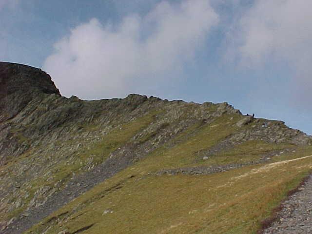
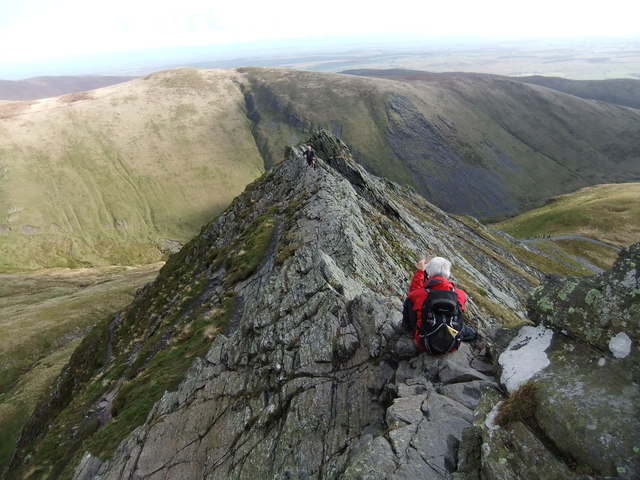
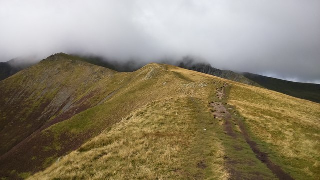
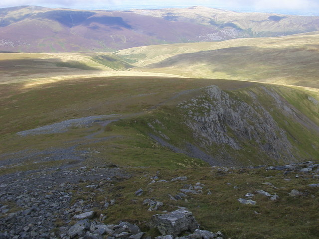
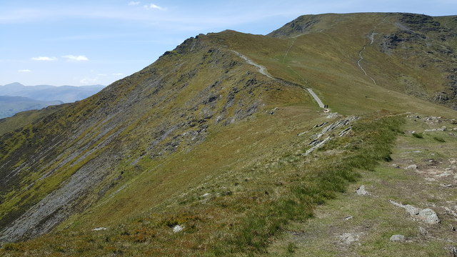
Scales Tarn is a popular destination for outdoor enthusiasts, offering opportunities for hiking, picnicking, and wildlife observation. The surrounding area boasts several walking trails that provide breathtaking views of the lake and the surrounding countryside. Visitors can also spot a plethora of bird species, including waterfowl and songbirds, making it a haven for birdwatchers.

Overall, Scales Tarn is a hidden gem within the Lake District, offering a tranquil retreat for nature lovers and providing a glimpse into the captivating beauty of the region.

If you have any feedback on the listing, please let us know in the comments section below.

Scales Tarn Images

Images are sourced within 2km of 54.643858/-3.0416101 or Grid Reference NY3228. Thanks to Geograph Open Source API. All images are credited.

Wet bits below Bowscale Fell In the distance is Skiddaw.
Wet bits below Bowscale Fell
In the distance is Skiddaw.
The rim of Bannerdale This tiny path clings to the edge of Bannerdale round the head of the dale
The rim of Bannerdale
This tiny path clings to the edge of Bannerdale round the head of the dale
Climbing Scales Fell A windy day on Blencathra
Climbing Scales Fell
A windy day on Blencathra
Looking back down Scales Fell
Descending Doddick Fell Doddick Fell is one of the main ridges descending southwards from Blencathra's summit ridge.
The flowering heather is in surprisingly good condition for early September.
Descending Doddick Fell
Doddick Fell is one of the main ridges descending southwards from Blencathra's summit ridge. The flowering heather is in surprisingly good condition for early September.
Doddick Fell Doddick Fell is one of several ridges that rise northwards to the summit ridge of Blencathra; it's on the right side of the image; Blencathra's summit is the obvious peak to the upper left. Doddick Gill flows in the valley.
Doddick Fell
Doddick Fell is one of several ridges that rise northwards to the summit ridge of Blencathra; it's on the right side of the image; Blencathra's summit is the obvious peak to the upper left. Doddick Gill flows in the valley.
Path west from summit of Blencathra The path follows the rim of the summit ridge of the mountain keeping to the edge of the striking southern face. Skiddaw, with a cap of cloud along its summit ridge, lies in the distance.
Path west from summit of Blencathra
The path follows the rim of the summit ridge of the mountain keeping to the edge of the striking southern face. Skiddaw, with a cap of cloud along its summit ridge, lies in the distance.
Gate Gill Gate Gill as seen from the weir at the edge of open countryside where a footpath crosses what would usually be the water flow, however as the image was recorded the stream was dry at this location. Gategill Fell rises to the left and Hall's Fell to the right; that ridge rises to Hallsfell Top which is in view and is the summit of Blencathra.
Gate Gill
Gate Gill as seen from the weir at the edge of open countryside where a footpath crosses what would usually be the water flow, however as the image was recorded the stream was dry at this location. Gategill Fell rises to the left and Hall's Fell to the right; that ridge rises to Hallsfell Top which is in view and is the summit of Blencathra.
Sharp Edge
Sharp Edge
The White Horse
The White Horse
On Sharp Edge
On Sharp Edge
Levels in Gate Gill
Levels in Gate Gill
Path above Scales Tarn
Scales Fell Path Scales Fell path heading up to a cloud covered Blencathra
Scales Fell Path
Scales Fell path heading up to a cloud covered Blencathra
Foule Crag From Blencathea the path heading down from Foule Crag
Foule Crag
From Blencathea the path heading down from Foule Crag
Blencathra from Keswick Railway Footpath From the trackbed of the former Cockermouth, Keswick & Penrith Railway, now the Keswick Railway Footpath.
Blencathra from Keswick Railway Footpath
From the trackbed of the former Cockermouth, Keswick & Penrith Railway, now the Keswick Railway Footpath.
Knott Halloo on Gategill Fell
The path on Scales Fell up to Blencathra
Show me another place!

Scales Tarn is located at Grid Ref: NY3228 (Lat: 54.643858, Lng: -3.0416101)

Administrative County: Cumbria

District: Eden

Police Authority: Cumbria

What 3 Words

///total.option.jousting. Near Keswick, Cumbria

Nearby Locations

Atkinson Pike Scales Tarn

Related Wikis

Blencathra

Blencathra, also known as Saddleback, is one of the most northerly of the Cumbrian Mountains, in the English Lake District. It has six separate fell tops...

Bannerdale Crags

Bannerdale Crags is a fell in the English Lake District. It stands between Blencathra and Bowscale Fell in the Northern Fells. == Topography == Bannerdale...

Mungrisdale Common

Mungrisdale Common, pronounced mun-grize-dl, with emphasis on grize, is a fell in the English Lake District. Although Alfred Wainwright listed it as one...

Bowscale Fell

Bowscale Fell is a hill in the English Lake District. It rises above the village of Mungrisdale in the Northern Fells. Bowscale Fell stands at the extreme...

Nearby Amenities

Located within 500m of 54.643858,-3.0416101
Ford: stepping_stones
Lat/Long: 54.6445348/-3.0359521
Brunt Knott
Place: locality
Lat/Long: 54.6455378/-3.038162
White Cross
Historic: monument
Lat/Long: 54.6435769/-3.049125
The data included in this document is from www.openstreetmap.org. The data is made available under ODbL.

Have you been to Scales Tarn?

Leave your review of Scales Tarn below (or comments, questions and feedback).