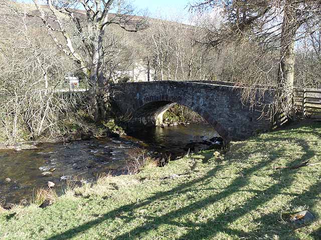
Old Mill Lade
Lake, Pool, Pond, Freshwater Marsh in Angus
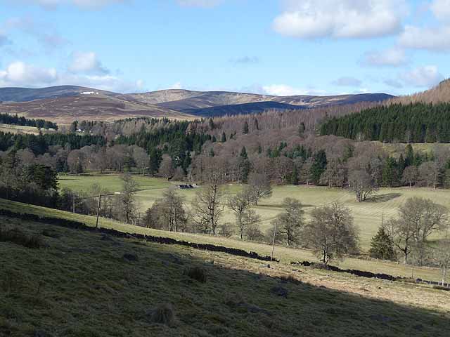
Scotland
Old Mill Lade
Old Mill Lade is a picturesque body of water located in Angus, Scotland. It can be classified as a freshwater marsh due to its unique characteristics. The lade, which is a Scottish term for a man-made watercourse, was created in the 19th century to supply water to a nearby mill.
Spanning approximately 2 acres, Old Mill Lade is surrounded by lush vegetation and offers a tranquil retreat for both wildlife and visitors alike. The water in the lade is sourced from a nearby river, creating a constant flow that provides a suitable habitat for various aquatic plants and animals.
The lade's still waters are home to a diverse range of species, including water lilies, reeds, and various submerged plants. These plants provide shelter and feeding grounds for a variety of bird species, such as mallards, herons, and swans. Additionally, the lade supports a thriving population of fish, including brown trout and perch.
The surrounding area of Old Mill Lade is a haven for nature enthusiasts and offers several walking paths that allow visitors to explore its scenic beauty. Birdwatchers and photographers are particularly drawn to the lade due to its rich birdlife and picturesque surroundings.
The calm and serene atmosphere of Old Mill Lade, combined with its diverse ecosystem, makes it an ideal spot for relaxation and nature appreciation. Whether it's a peaceful stroll along its banks or observing the wildlife from a distance, Old Mill Lade offers a tranquil escape from the bustling world.
If you have any feedback on the listing, please let us know in the comments section below.
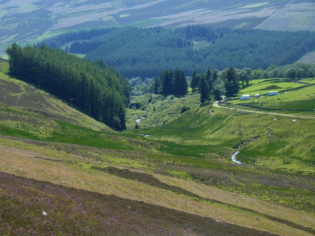
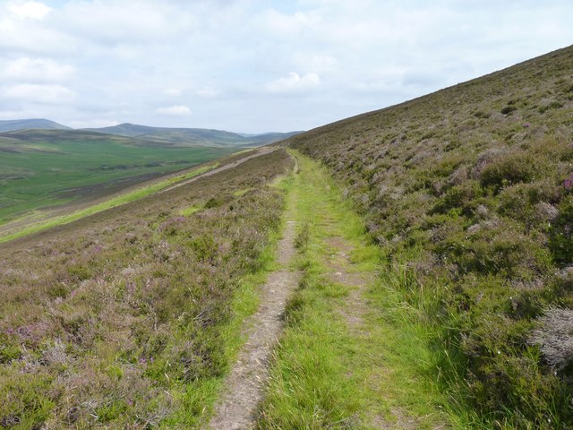
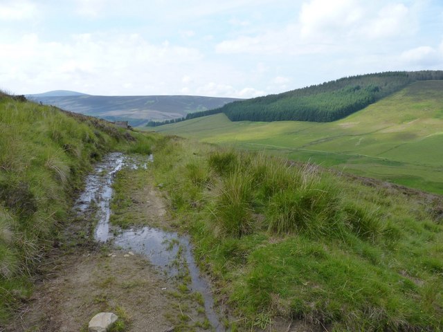
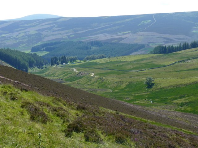
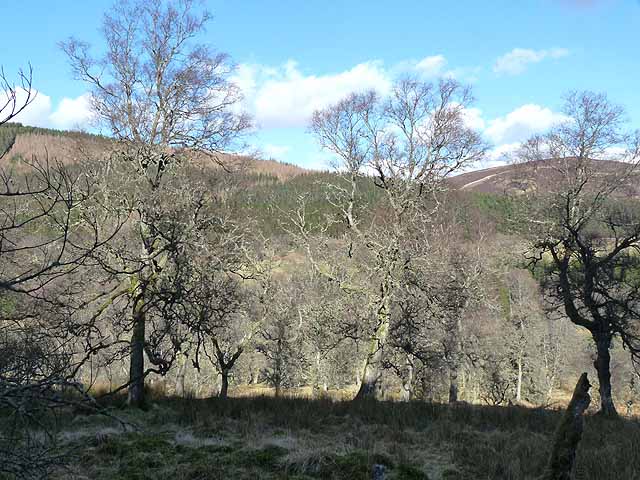
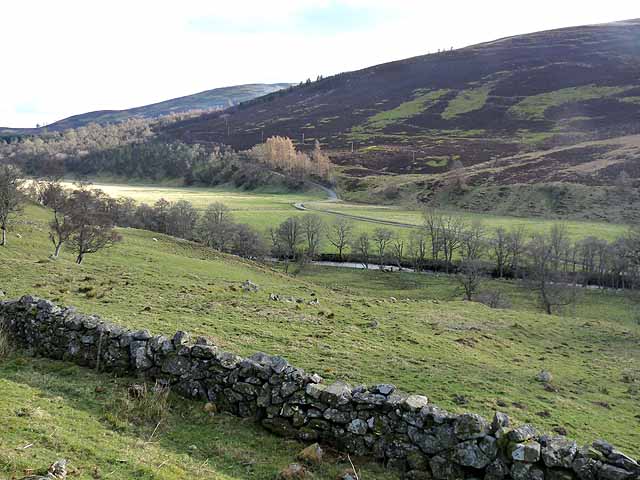
Old Mill Lade Images
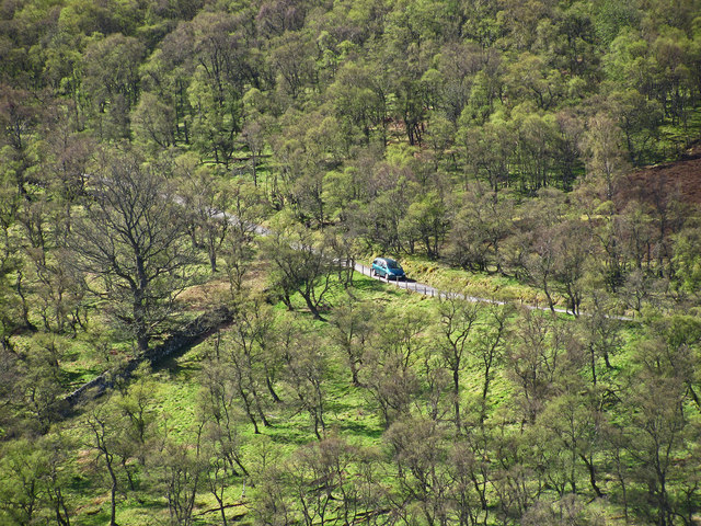
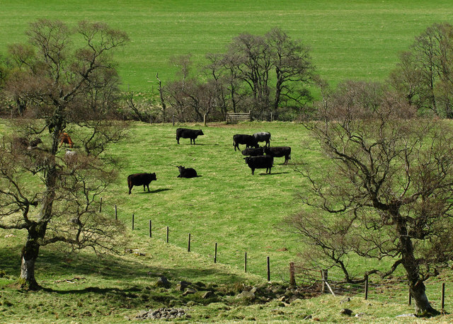
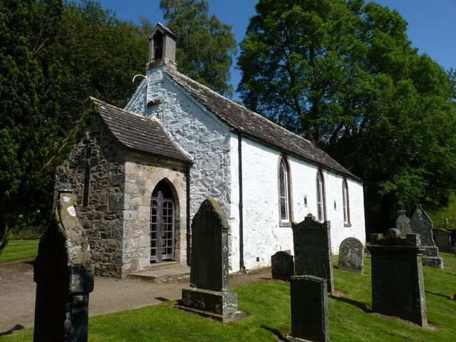
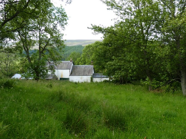
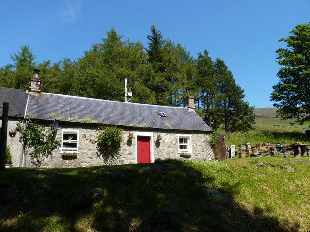
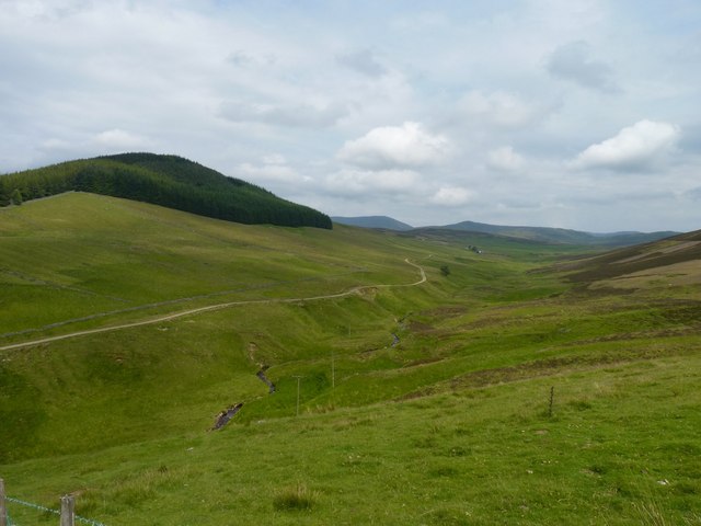
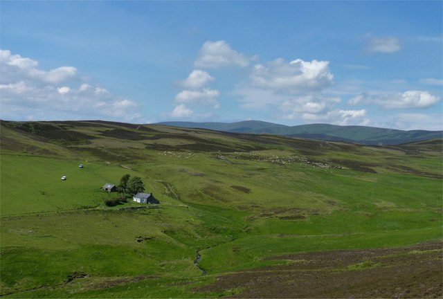
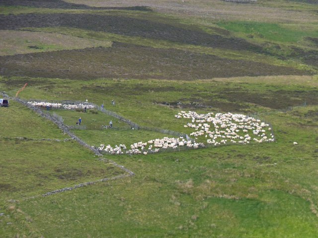
Images are sourced within 2km of 56.779281/-3.1009279 or Grid Reference NO3265. Thanks to Geograph Open Source API. All images are credited.
Old Mill Lade is located at Grid Ref: NO3265 (Lat: 56.779281, Lng: -3.1009279)
Unitary Authority: Angus
Police Authority: Tayside
What 3 Words
///snippets.puzzle.condense. Near Kirriemuir, Angus
Nearby Locations
Related Wikis

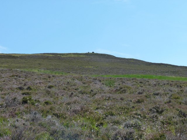
Cat Law
Cat Law (671 m) is a hill in the southern Mounth of Scotland, north of Kirriemuir in Angus. A rounded peak, it lies above Strathmore in the south and offers...

Mile Hill, Dykehead
There is another Mile Hill nearby which is a MarilynMile Hill is located in Angus, Scotland, 1000 metres west of Dykehead. It is a circular hill rising...

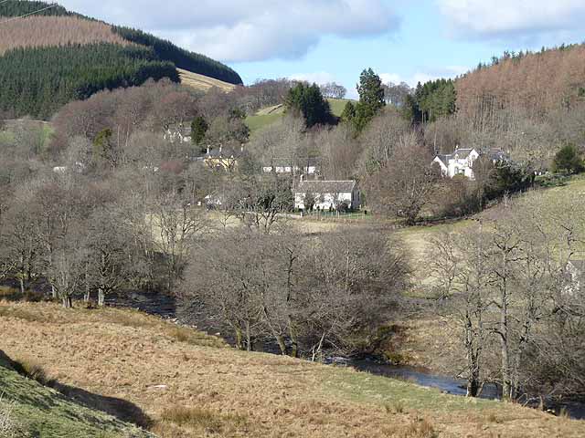
Clova, Angus
Clova is a village in Glen Clova, Angus, Scotland. It lies on the River South Esk, some 12 miles (19 km) north of Kirriemuir. During the 1745 Jacobite...

Balintore Castle
Balintore Castle is a Victorian Category A listed building in Scotland. The castle occupies an elevated site in moorland above Balintore village, a few...
Nearby Amenities
Located within 500m of 56.779281,-3.1009279Have you been to Old Mill Lade?
Leave your review of Old Mill Lade below (or comments, questions and feedback).