Dornend Pool

Lake, Pool, Pond, Freshwater Marsh in Peeblesshire

Scotland

Dornend Pool

Fingland Burn Seen from the road bridge, with Shaw Hill in the background.
Fingland Burn Credit: Jim Barton

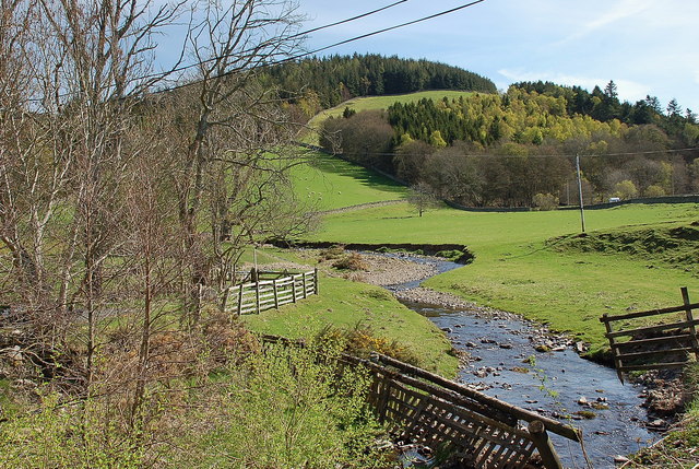
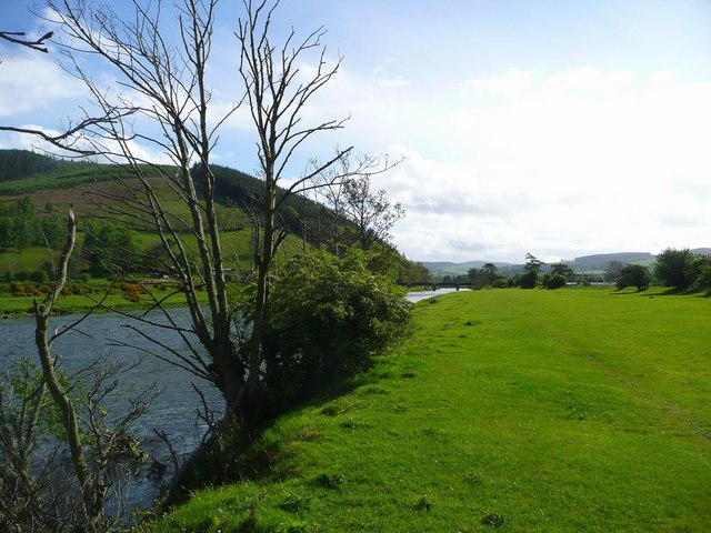
Dornend Pool is a small freshwater body located in Peeblesshire, Scotland. It is classified as a pool or pond, and is often referred to as Dornend Pond as well. With its serene surroundings and diverse ecosystem, Dornend Pool attracts both locals and visitors alike.

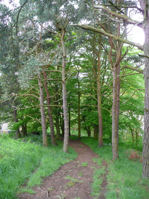
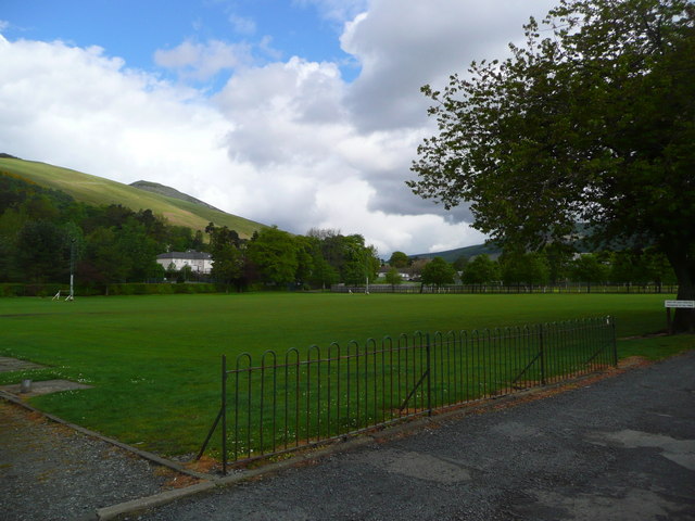
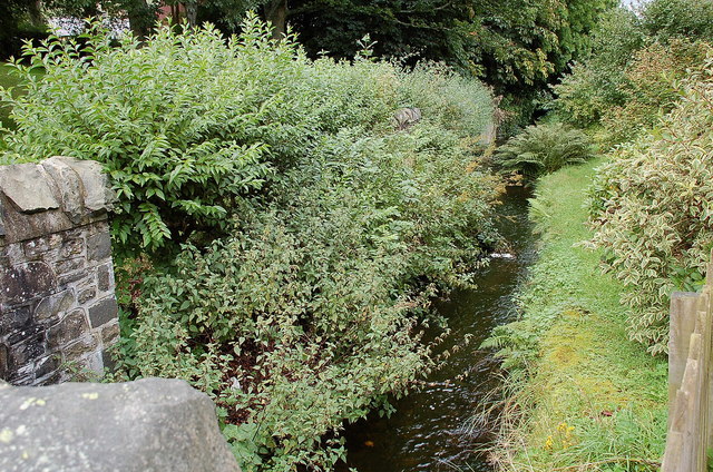
Situated amidst the picturesque landscape of Peeblesshire, Dornend Pool covers an area of approximately 1.5 acres. The pool is surrounded by lush vegetation, including reeds, grasses, and shrubs, which provide a natural habitat for various species of birds, insects, and amphibians. The pool itself is relatively shallow, with an average depth of around 2 meters, offering an ideal environment for aquatic flora and fauna to thrive.

The pool is home to a range of freshwater species, including common carp, roach, perch, and tench. These fish attract recreational anglers who enjoy fishing in a tranquil setting. Additionally, the presence of bird species such as mallards, coots, and moorhens make Dornend Pool a popular spot for birdwatching enthusiasts.

Dornend Pool also plays a crucial role in maintaining the local ecosystem. It serves as a freshwater marsh, acting as a natural filter for rainwater runoff and providing a habitat for numerous plant species that contribute to water purification. The marshy areas surrounding the pool feature species like common reed and yellow iris, adding to the overall biodiversity of the location.

Visitors to Dornend Pool can enjoy the peaceful ambiance and observe the diverse wildlife that thrives in this natural haven. Whether it's fishing, birdwatching, or simply appreciating the beauty of nature, Dornend Pool offers an enriching experience for all who venture to this small but significant freshwater body in Peeblesshire.

If you have any feedback on the listing, please let us know in the comments section below.
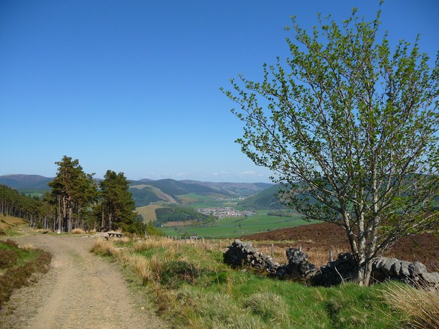
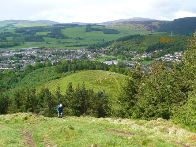
Dornend Pool Images

Images are sourced within 2km of 55.613472/-3.0738845 or Grid Reference NT3236. Thanks to Geograph Open Source API. All images are credited.

Fingland Burn Seen from the road bridge, with Shaw Hill in the background.
Fingland Burn
Seen from the road bridge, with Shaw Hill in the background.
Forest walk Forest walk in Cardrona Forest with view over Tweed Valley to Peebles some 4 or 5 miles distant. Cardrona Forest which is owned by the Forestry Commission has many fine forest walks. It is also a haven for a great variety of wildlife including the recent welcome return of nesting Ospreys.
Forest walk
Forest walk in Cardrona Forest with view over Tweed Valley to Peebles some 4 or 5 miles distant. Cardrona Forest which is owned by the Forestry Commission has many fine forest walks. It is also a haven for a great variety of wildlife including the recent welcome return of nesting Ospreys.
The Tweed at Innerleithen The disused railway bridge (the Haugh-head Viaduct, opened 1866 by North British Rail) in the distance.
The Tweed at Innerleithen
The disused railway bridge (the Haugh-head Viaduct, opened 1866 by North British Rail) in the distance.
Looking back on Pirn Hill and its viewpoint The seven stone plinths at the viewpoint above Innerleithen can be clarly seen.
Looking back on Pirn Hill and its viewpoint
The seven stone plinths at the viewpoint above Innerleithen can be clarly seen.
Path through the trees from Pirn Hill
Playing fields at Innerleithen
Coat of arms on St. Ronan's Well pavilion
St Ronans well pavilion from the rear garden
The Pavilion at St Ronan's well
War memorial at Traquair The solid looking memorial stands at a road junction; Lee Pen is the prominent hill beyond.
War memorial at Traquair
The solid looking memorial stands at a road junction; Lee Pen is the prominent hill beyond.
View towards Innerleithen Looking across from the S.U.W. pathway towards Pirn Craig, with Lee Pen on the far left.
View towards Innerleithen
Looking across from the S.U.W. pathway towards Pirn Craig, with Lee Pen on the far left.
St. James Roman Catholic Church, Innerleithen A sunny day in Innerleithen, the Church Spire makes a superb backdrop to the fruits of the tree.
St. James Roman Catholic Church, Innerleithen
A sunny day in Innerleithen, the Church Spire makes a superb backdrop to the fruits of the tree.
St. James Roman Catholic Church, Innerleithen A blue sky background to a dramatic subject, a very pretty church, in a lovely village by the River Tweed.
St. James Roman Catholic Church, Innerleithen
A blue sky background to a dramatic subject, a very pretty church, in a lovely village by the River Tweed.
D-Day commemorative trees, Innerleithen Trees by the car park in Hall Street. A plaque on the stone plinth reads:

Three Trees Were Planted By
The Chairman Of
Innerleithen Traquair & Glen
Community Council
On The 6th June 1994
To Commemorate The
50th Anniversary Of The D-Day
Landings In France
D-Day commemorative trees, Innerleithen
Trees by the car park in Hall Street. A plaque on the stone plinth reads: Three Trees Were Planted By The Chairman Of Innerleithen Traquair & Glen Community Council On The 6th June 1994 To Commemorate The 50th Anniversary Of The D-Day Landings In France
Culvert and sluice gate at Kirklands, Innerleithen Here the mill lade crosses back to the W side of the B709 after its diversion to avoid the Kirklands cemetery. The sluice gate controlled the water exit to an overflow to the Leithen Water out of shot on the left. The original lade from the 1788 weir followed this route to the Caerlee Mill and other waterwheels in the town.
Culvert and sluice gate at Kirklands, Innerleithen
Here the mill lade crosses back to the W side of the B709 after its diversion to avoid the Kirklands cemetery. The sluice gate controlled the water exit to an overflow to the Leithen Water out of shot on the left. The original lade from the 1788 weir followed this route to the Caerlee Mill and other waterwheels in the town.
Remains of the 1788 weir, Leithen Water Part of the original weir built in 1788 to supply water power to the Caerlee textile mill. The flow entered by the sluice gate on the right on its journey through the town to reach the Tweed close to its confluence with the Leithen Water.
Remains of the 1788 weir, Leithen Water
Part of the original weir built in 1788 to supply water power to the Caerlee textile mill. The flow entered by the sluice gate on the right on its journey through the town to reach the Tweed close to its confluence with the Leithen Water.
Mill lade, Innerleithen The route of the lade here passes behind houses and under the Strand on its way to Caerlee Mill.
Mill lade, Innerleithen
The route of the lade here passes behind houses and under the Strand on its way to Caerlee Mill.
Mill lade in Innerleithen After leaving the Caerlee Mill, the 'Dam' here flows under the Main Street in a culvert to Robert Smail's printworks, where a waterwheel could be lowered into the flow when power was needed.
Mill lade in Innerleithen
After leaving the Caerlee Mill, the 'Dam' here flows under the Main Street in a culvert to Robert Smail's printworks, where a waterwheel could be lowered into the flow when power was needed.
Show me another place!

Dornend Pool is located at Grid Ref: NT3236 (Lat: 55.613472, Lng: -3.0738845)

Unitary Authority: The Scottish Borders

Police Authority: The Lothians and Scottish Borders

What 3 Words

///blockage.universe.provide. Near Innerleithen, Scottish Borders

Related Wikis

Leithen Water

Leithen Water (Scottish Gaelic: Leitheann / Abhainn Leitheinn) is a tributary of the River Tweed in Scotland. It rises in the Moorfoot Hills and joins...

Innerleithen railway station

Innerleithen railway station served the town of Innerleithen, Scottish Borders, Scotland from 1864 to 1962 on the Peebles Railway. == History == The station...

Traquair House

Traquair House, approximately 7 miles southeast of Peebles, is claimed to be the oldest continually inhabited house in Scotland. Whilst not strictly a...

Vale of Leithen F.C.

Vale of Leithen Football Club are a football club based in the town of Innerleithen, Scotland. They play in the East of Scotland League First Division...

Robert Smail's Printing Works

Robert Smail's Printing Works is a fully functional Victorian era letterpress printing works in the small Scottish Borders town of Innerleithen, now preserved...

Innerleithen

Innerleithen (Scottish Gaelic: Inbhir Leitheann) is a civil parish and a small town in the committee area of Tweeddale, in the Scottish Borders. It was...

Traquair

Traquair (Scottish Gaelic: Cille Bhrìghde) is a small village and civil parish in the Scottish Borders; until 1975 it was in the county of Peeblesshire...

Sir Walter Scott Way

The Sir Walter Scott Way is a 92-mile (148 km) long-distance footpath in the Scottish Borders. The route broadly follows the waymarked Southern Upland...

Nearby Amenities

Located within 500m of 55.613472,-3.0738845
Bench
Lat/Long: 55.615722/-3.0755984
Information: guidepost
Tourism: information
Lat/Long: 55.6157164/-3.0757315
Waste Basket
Lat/Long: 55.6147772/-3.0678305
Waste Basket
Lat/Long: 55.615765/-3.0756671
Material: wood
Power: pole
Lat/Long: 55.6140083/-3.073696
Material: wood
Power: pole
Lat/Long: 55.6140167/-3.0724411
Material: wood
Power: pole
Lat/Long: 55.6139969/-3.071241
Material: wood
Power: pole
Lat/Long: 55.613982/-3.0700365
Material: wood
Power: pole
Lat/Long: 55.6139537/-3.0688181
Material: wood
Power: pole
Lat/Long: 55.61394/-3.067702
Material: wood
Power: pole
Lat/Long: 55.6160737/-3.0788434
Material: wood
Power: pole
Lat/Long: 55.6155436/-3.0778939
Material: wood
Power: pole
Lat/Long: 55.615024/-3.0769819
Material: wood
Power: pole
Lat/Long: 55.6145347/-3.0760726
Material: wood
Power: pole
Lat/Long: 55.6140364/-3.0751634
Material: wood
Power: pole
Lat/Long: 55.6139265/-3.0664005
Generator Method: photovoltaic
Generator Output Electricity: yes
Generator Source: solar
Generator Type: solar_photovoltaic_panel
Power: generator
Lat/Long: 55.6171881/-3.0708248
Generator Method: photovoltaic
Generator Output Electricity: yes
Generator Source: solar
Generator Type: solar_photovoltaic_panel
Power: generator
Lat/Long: 55.6174573/-3.0704941
Give Way
Direction: forward
Lat/Long: 55.6163747/-3.0700029
Give Way
Direction: forward
Lat/Long: 55.6165388/-3.0693774
Power: pole
Lat/Long: 55.6135295/-3.0752782
Power: pole
Lat/Long: 55.6129417/-3.0754537
Power: pole
Lat/Long: 55.612324/-3.0756251
Power: pole
Lat/Long: 55.611735/-3.0757943
Power: pole
Lat/Long: 55.6109752/-3.0759953
Power: pole
Lat/Long: 55.6102249/-3.0762153
Power: pole
Lat/Long: 55.6095068/-3.0763887
The data included in this document is from www.openstreetmap.org. The data is made available under ODbL.

Have you been to Dornend Pool?

Leave your review of Dornend Pool below (or comments, questions and feedback).