Beck Leven Foot

Lake, Pool, Pond, Freshwater Marsh in Lancashire South Lakeland

England

Beck Leven Foot

Coniston village sign This road sign on the A593 was erected by Lancashire County Council, pre-dating the formation of Cumbria in 1974 which incorporated that part of Lancashire north of Morecambe Bay.
Located at Park Gate, the sign is unusually far from the village, being almost 1.6km (1 mile) south of the centre of Coniston.
Coniston village sign Credit: Adrian Taylor

Beck Leven Foot is a picturesque freshwater marsh located in Lancashire, England. Nestled amidst the rolling countryside, this tranquil area is a haven for nature enthusiasts and offers a diverse range of aquatic habitats.

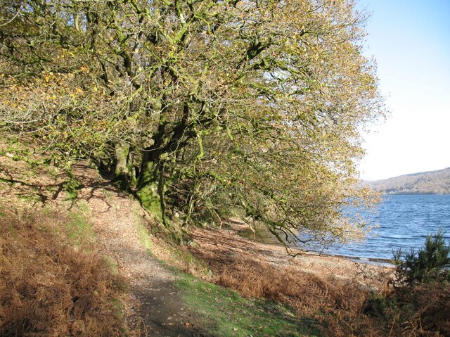
The centerpiece of Beck Leven Foot is its expansive lake, which stretches over a vast area, reflecting the surrounding landscape and creating a serene atmosphere. The lake is fed by several small streams and is home to a variety of fish species, including pike, perch, and roach. Anglers often visit the lake to test their skills and enjoy a day of fishing.

Adjacent to the lake is a smaller pool, which is fringed by reeds and rushes. This pool serves as a breeding ground for waterfowl, including ducks, geese, and swans. Birdwatchers flock to this area to catch a glimpse of these beautiful creatures and observe their behaviors.

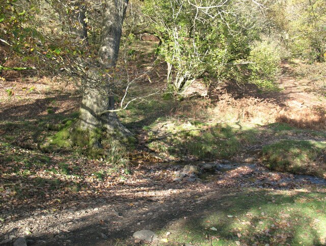
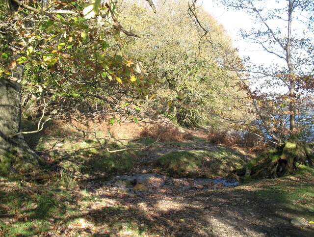
A winding beck, or stream, meanders through the marsh, connecting the lake and the pool. This beck is teeming with life, supporting a diverse population of invertebrates, amphibians, and small fish. It provides an essential water source for the various species that inhabit the marsh.

The marsh itself is a mosaic of vegetation, ranging from open water and mudflats to dense reed beds and marsh grasses. This diverse habitat attracts numerous bird species, such as herons, kingfishers, and warblers, making it a popular spot for birdwatching.

Overall, Beck Leven Foot offers a unique and captivating landscape, combining the tranquility of its lake and pool with the vibrant biodiversity of its marsh. It is a haven for both wildlife and visitors, providing a peaceful retreat and an opportunity to appreciate the beauty of nature.

If you have any feedback on the listing, please let us know in the comments section below.

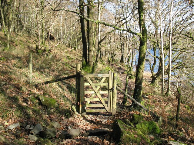
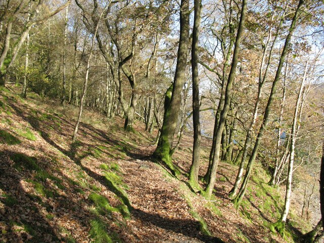
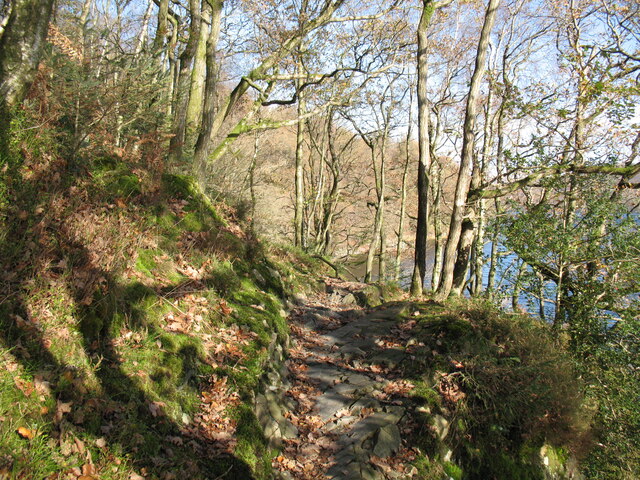
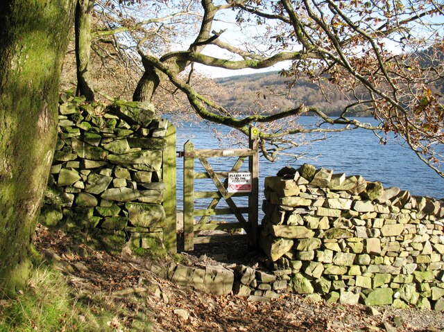
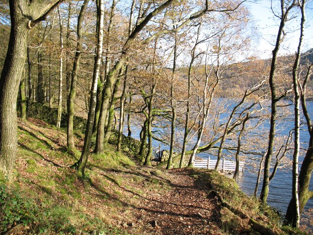
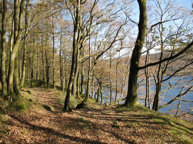
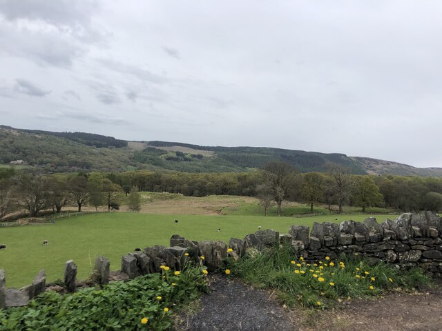
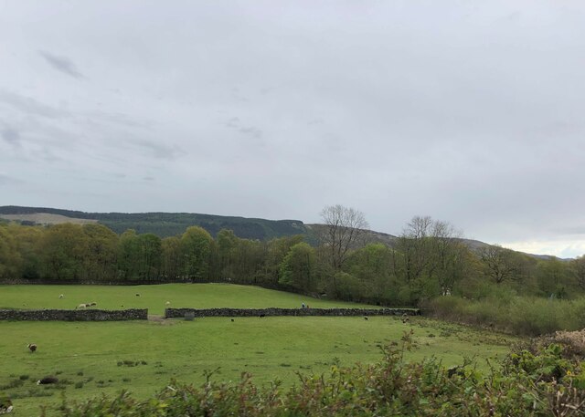
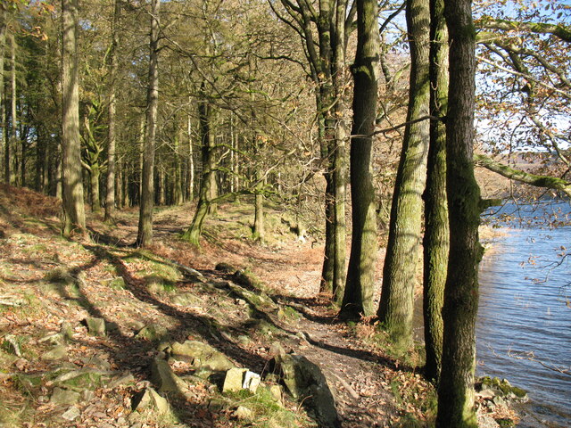
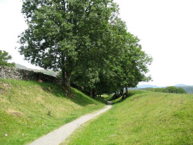
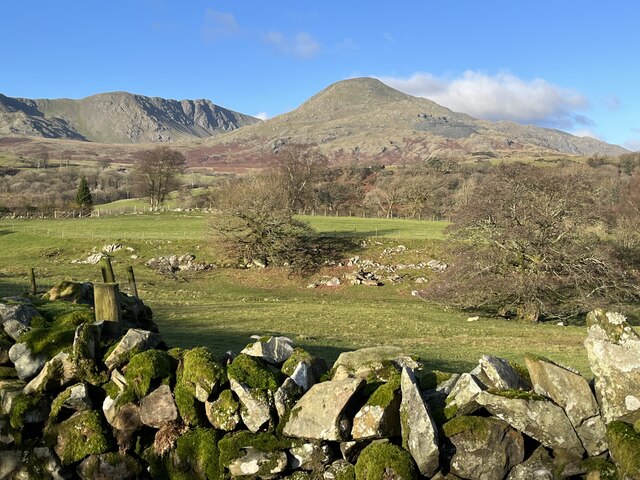
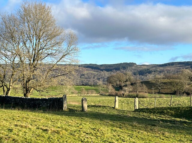
Beck Leven Foot Images

Images are sourced within 2km of 54.348018/-3.0634203 or Grid Reference SD3095. Thanks to Geograph Open Source API. All images are credited.

Coniston village sign This road sign on the A593 was erected by Lancashire County Council, pre-dating the formation of Cumbria in 1974 which incorporated that part of Lancashire north of Morecambe Bay.
Located at Park Gate, the sign is unusually far from the village, being almost 1.6km (1 mile) south of the centre of Coniston.
Coniston village sign
This road sign on the A593 was erected by Lancashire County Council, pre-dating the formation of Cumbria in 1974 which incorporated that part of Lancashire north of Morecambe Bay. Located at Park Gate, the sign is unusually far from the village, being almost 1.6km (1 mile) south of the centre of Coniston.
Moor Gill Foot Ford Moor Gill rises on Torver Back Common and drains into Coniston Water just below this small ford.  The public footpath from Delicars to Coniston which is also the route of The Cumbria Way crosses the ford.
Moor Gill Foot Ford
Moor Gill rises on Torver Back Common and drains into Coniston Water just below this small ford. The public footpath from Delicars to Coniston which is also the route of The Cumbria Way crosses the ford.
The Cumbria Way, Moor Gill Foot The Cumbria Way follows the western shore of Coniston Water through woodland below Torver Back Common (next photograph <a href="https://www.geograph.org.uk/photo/7004202">SD2993 : The Cumbria Way in Torver Common Wood</a>).
The Cumbria Way, Moor Gill Foot
The Cumbria Way follows the western shore of Coniston Water through woodland below Torver Back Common (next photograph SD2993 : The Cumbria Way in Torver Common Wood).
Moor Gill Foot Ford Moor Gill rises on Torver Back Common and drains into Coniston Water just below this small ford.  The public footpath from Delicars to Coniston crosses the ford; it  is the route of The Cumbria Way long distance path (next photograph <a href="https://www.geograph.org.uk/photo/7003649">SD2993 : The Cumbria Way, Moor Gill Foot</a>).
Moor Gill Foot Ford
Moor Gill rises on Torver Back Common and drains into Coniston Water just below this small ford. The public footpath from Delicars to Coniston crosses the ford; it is the route of The Cumbria Way long distance path (next photograph SD2993 : The Cumbria Way, Moor Gill Foot).
Gate in Torver Common Wood The gate crosses a public footpath from Delicars to Coniston which is also the route of The Cumbria Way long distance trail.
Coniston Water can be glimpsed through the trees (next photograph <a href="https://www.geograph.org.uk/photo/7004844">SD2994 : Rocky path in Torver Common Wood</a>).
Gate in Torver Common Wood
The gate crosses a public footpath from Delicars to Coniston which is also the route of The Cumbria Way long distance trail. Coniston Water can be glimpsed through the trees (next photograph SD2994 : Rocky path in Torver Common Wood).
The Cumbria Way in Torver Common Wood The Cumbria Way follows a public footpath along the western shore of Coniston Water through Torver Common Wood (next photograph <a href="https://www.geograph.org.uk/photo/7004120">SD2994 : Gate in Torver Common Wood</a>).
The Cumbria Way in Torver Common Wood
The Cumbria Way follows a public footpath along the western shore of Coniston Water through Torver Common Wood (next photograph SD2994 : Gate in Torver Common Wood).
Rocky path in Torver Common Wood The Cumbria Way follows a public footpath along the western shore of Coniston Water through Torver Common Wood, rounding a rocky spur above the lake shortly before reaching Harrison’s Coppice (next photograph <a href="https://www.geograph.org.uk/photo/7005690">SD2994 : Paths in Torver Common Wood</a>).
Rocky path in Torver Common Wood
The Cumbria Way follows a public footpath along the western shore of Coniston Water through Torver Common Wood, rounding a rocky spur above the lake shortly before reaching Harrison’s Coppice (next photograph SD2994 : Paths in Torver Common Wood).
Gate beside Coniston Water The public footpath from Delicars to Coniston passes through the gate leading from Torver Common Wood into Harrison Coppice.
The waymark on the right hand gatepost indicates that this is the route of The Cumbria Way (next photograph <a href="https://www.geograph.org.uk/photo/7006419">SD2994 : The Cumbria Way, Harrison Coppice</a>).
Gate beside Coniston Water
The public footpath from Delicars to Coniston passes through the gate leading from Torver Common Wood into Harrison Coppice. The waymark on the right hand gatepost indicates that this is the route of The Cumbria Way (next photograph SD2994 : The Cumbria Way, Harrison Coppice).
The Cumbria Way near Coniston Water The Cumbria Way follows the public footpath from Delicars to Coniston along the western shore of Coniston Water (next photograph <a href="https://www.geograph.org.uk/photo/7005687">SD2994 : Gate beside Coniston Water</a>).
The Cumbria Way near Coniston Water
The Cumbria Way follows the public footpath from Delicars to Coniston along the western shore of Coniston Water (next photograph SD2994 : Gate beside Coniston Water).
Paths in Torver Common Wood The path on the left doubles back up through the wood towards the top of Torver Back Common.  The public footpath from Delicars to Coniston and The Cumbria Way follow the path dropping down to the right towards the shore of Coniston Water (next photograph <a href="https://www.geograph.org.uk/photo/7005689">SD2994 : The Cumbria Way near Coniston Water</a>).
Paths in Torver Common Wood
The path on the left doubles back up through the wood towards the top of Torver Back Common. The public footpath from Delicars to Coniston and The Cumbria Way follow the path dropping down to the right towards the shore of Coniston Water (next photograph SD2994 : The Cumbria Way near Coniston Water).
Pasture south of Coniston Park coppice behind and Grizedale Forest on the hills
Pasture south of Coniston
Park coppice behind and Grizedale Forest on the hills
Grazing near Coniston Park Coppice
The Cumbria Way, Harrison Coppice The Cumbria Way follows the public footpath from Delicars to Coniston along the western shore of Coniston Water through Harrison Coppice (next photograph <a href="https://www.geograph.org.uk/photo/7006411">SD3094 : Ford in Harrison Coppice</a>).
The Cumbria Way, Harrison Coppice
The Cumbria Way follows the public footpath from Delicars to Coniston along the western shore of Coniston Water through Harrison Coppice (next photograph SD3094 : Ford in Harrison Coppice).
The Coniston Branch near Park Gate Now only used by walkers and sheep, this is the route of the former Furness Railway branch line from Foxfield to Coniston.
The last passenger service ran on 4 October 1958 with a final enthusiasts’ special train on the 27 August 1961.  The last freight train ran during the week ending 29 April 1962 and the track was lifted early in 1963.
The Coniston Branch near Park Gate
Now only used by walkers and sheep, this is the route of the former Furness Railway branch line from Foxfield to Coniston. The last passenger service ran on 4 October 1958 with a final enthusiasts’ special train on the 27 August 1961. The last freight train ran during the week ending 29 April 1962 and the track was lifted early in 1963.
Dow Crag and Coniston Old Man In winter sunshine, Dow Crag and Coniston Old Man are viewed from the lane near Grass Guards.
Dow Crag and Coniston Old Man
In winter sunshine, Dow Crag and Coniston Old Man are viewed from the lane near Grass Guards.
Occupation crossing, Little Arrow Still bearing their hinges but with the gates long gone, only four round topped slate gateposts remain from a farmer’s occupation crossing over the Coniston Branch railway at Little Arrow.
The last passenger service ran on 4 October 1958 with a final enthusiasts’ special train on the 27 August 1961. The last freight train ran during the week ending 29 April 1962 and the track was lifted early in 1963.
Occupation crossing, Little Arrow
Still bearing their hinges but with the gates long gone, only four round topped slate gateposts remain from a farmer’s occupation crossing over the Coniston Branch railway at Little Arrow. The last passenger service ran on 4 October 1958 with a final enthusiasts’ special train on the 27 August 1961. The last freight train ran during the week ending 29 April 1962 and the track was lifted early in 1963.
Bowmanstead
Bowmanstead
Farmland near Torver
Show me another place!

Beck Leven Foot is located at Grid Ref: SD3095 (Lat: 54.348018, Lng: -3.0634203)

Administrative County: Cumbria

District: South Lakeland

Police Authority: Cumbria

What 3 Words

///grades.boss.calculate. Near Windermere, Cumbria

Nearby Locations

Beck Leven Foot

Related Wikis

Coniston Water

Coniston Water is a lake in the Lake District in North West England. It is the third largest by volume, after Windermere and Ullswater, and the fifth-largest...

Brantwood

Brantwood is a historic house museum in Cumbria, England, overlooking Coniston Water. It has been the home of a number of prominent people. The house and...

Lawson Park

Lawson Park is a remote English Lake District hillfarm, leased by Grizedale Arts (a contemporary art commissioner) from the Forestry Commission. It is...

Coniston Hall

Coniston Hall is a former house on the west bank of Coniston Water in the English Lake District. It is recorded in the National Heritage List for England...

Nearby Amenities

Located within 500m of 54.348018,-3.0634203
Beck Leven Foot
Source: OS OpenData StreetView
Waterway: rivermouth
Lat/Long: 54.3478609/-3.064133
Parking
Source: OS OpenData StreetView
Lat/Long: 54.3453552/-3.0640112
Power: pole
Lat/Long: 54.3446008/-3.060087
The data included in this document is from www.openstreetmap.org. The data is made available under ODbL.

Have you been to Beck Leven Foot?

Leave your review of Beck Leven Foot below (or comments, questions and feedback).