Lochs of Allt na Craoibhe-caorainn

Lake, Pool, Pond, Freshwater Marsh in Banffshire

Scotland

Lochs of Allt na Craoibhe-caorainn

Eastern slopes of Carn na Glaschoill Looking across the Kymah Burn towards Round Hill.
Eastern slopes of Carn na Glaschoill Credit: Dorothy Carse

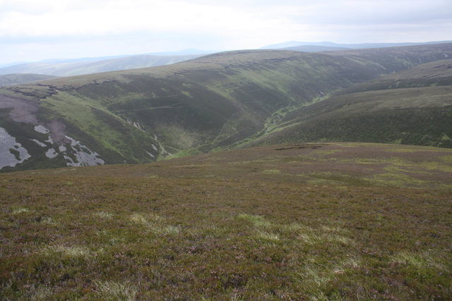
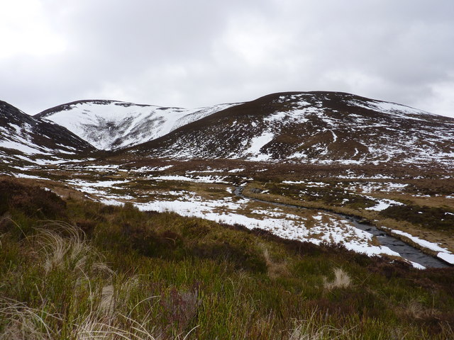
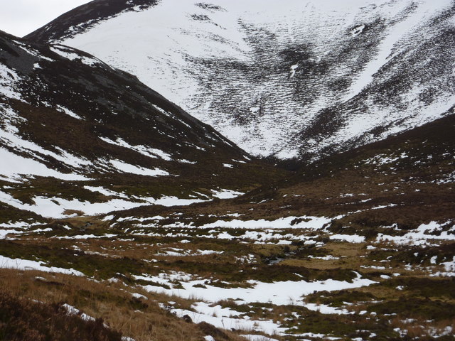
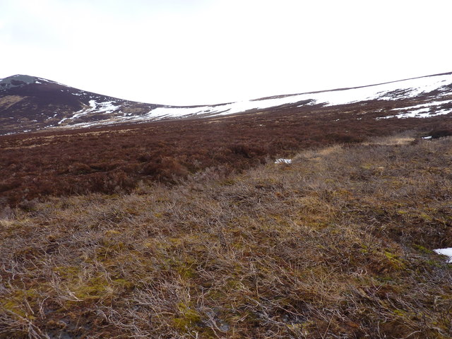
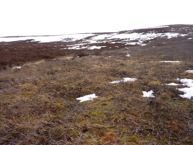
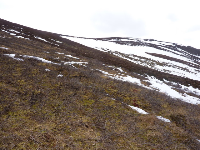
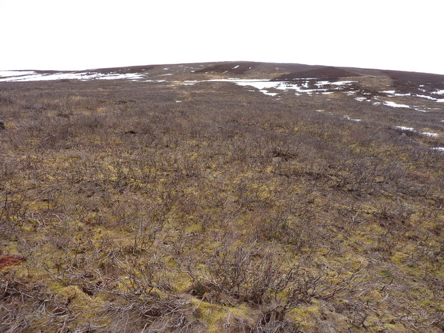
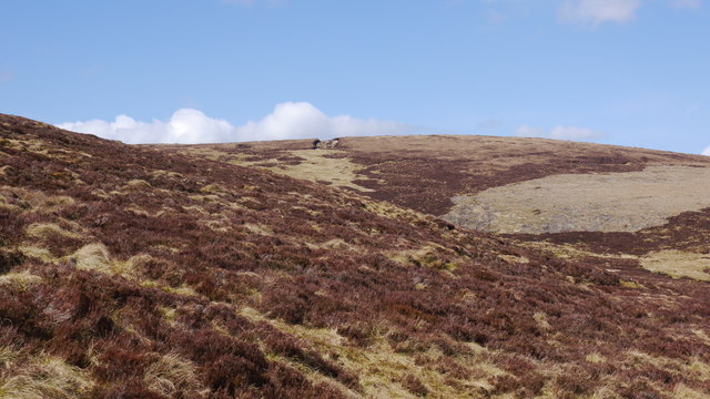
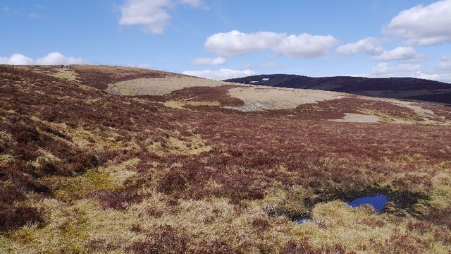
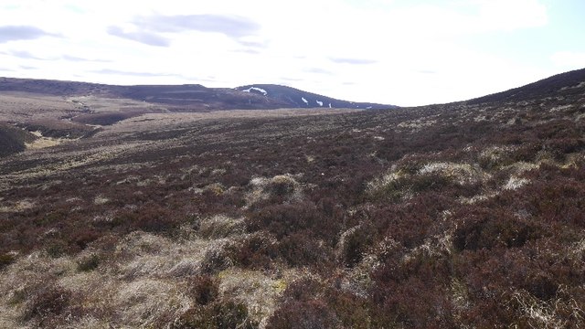
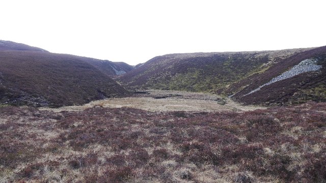
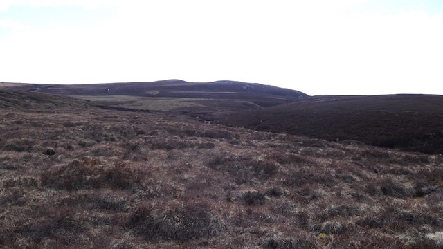
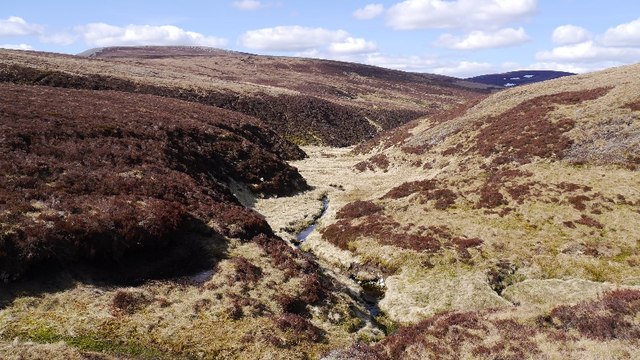
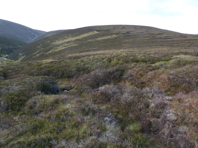
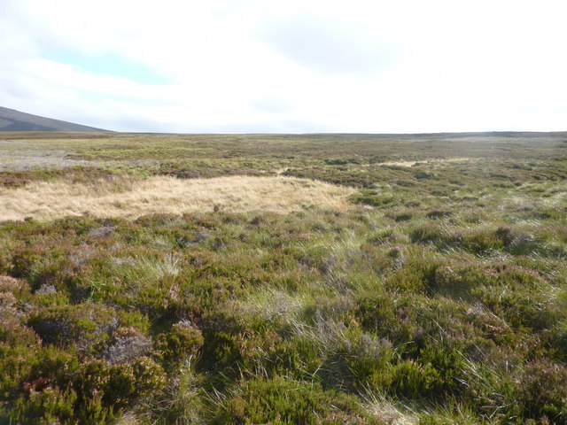
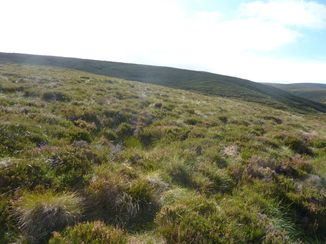
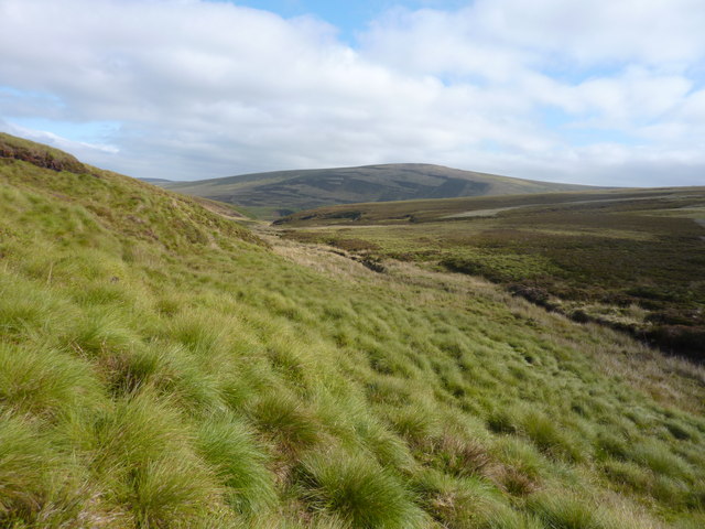
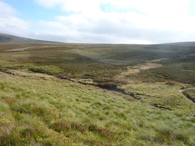
Lochs of Allt na Craoibhe-caorainn, located in Banffshire, Scotland, is a picturesque freshwater marsh area encompassing several small lakes, pools, and ponds. Nestled amidst the stunning Scottish Highlands, this natural wonder offers a diverse range of habitats and is home to a variety of flora and fauna.

The lochs are fed by the Allt na Craoibhe-caorainn, a small stream that meanders through the marshland, adding to the area's serene beauty. The water in these lochs is crystal clear, owing to the absence of pollution and the natural filtration system provided by the surrounding vegetation.

The marshland surrounding the lochs is characterized by its lush greenery, with reeds, grasses, and sedges dominating the landscape. This provides a perfect habitat for numerous species of waterfowl and wading birds, such as mallards, teal, and herons, which can often be seen gracefully gliding across the water or feeding along the marshy edges.

The lochs also support a rich aquatic ecosystem, housing various species of fish, including brown trout and salmon, which attract anglers from far and wide. Additionally, the marshland acts as a haven for a wide range of amphibians, including frogs, toads, and newts.

The Lochs of Allt na Craoibhe-caorainn are a haven for nature enthusiasts, offering opportunities for birdwatching, fishing, and leisurely walks along their tranquil shores. Visitors can experience the serene beauty of this natural habitat, surrounded by breathtaking landscapes and the soothing sounds of nature.

If you have any feedback on the listing, please let us know in the comments section below.

Lochs of Allt na Craoibhe-caorainn Images

Images are sourced within 2km of 57.302394/-3.165526 or Grid Reference NJ2924. Thanks to Geograph Open Source API. All images are credited.

Eastern slopes of Carn na Glaschoill Looking across the Kymah Burn towards Round Hill.
Eastern slopes of Carn na Glaschoill
Looking across the Kymah Burn towards Round Hill.
Looking up the Kymah Burn The burn comes down through an interesting-looking narrow valley. Still large patches of snow after the winter, and although it was around 7 degrees, the snow was sufficiently melted and frozen to take my weight.
Looking up the Kymah Burn
The burn comes down through an interesting-looking narrow valley. Still large patches of snow after the winter, and although it was around 7 degrees, the snow was sufficiently melted and frozen to take my weight.
The Eachrach and Bachd Buidhe These are the names given to the ground on either side of The Kymah Burn. The rockier east bank is The Eachrach. Straight ahead are the slopes of Carn na Glascoill.
The Eachrach and Bachd Buidhe
These are the names given to the ground on either side of The Kymah Burn. The rockier east bank is The Eachrach. Straight ahead are the slopes of Carn na Glascoill.
The lower slopes of Carn na Bruar Grouse moorland here, with large area burnt. There is a gate in the deer fence  at NJ 288 241 if you want get up here.
The lower slopes of Carn na Bruar
Grouse moorland here, with large area burnt. There is a gate in the deer fence at NJ 288 241 if you want get up here.
Unnamed 571m top south-east of Carn na Bruar Still plenty of old snow in early March
Unnamed 571m top south-east of Carn na Bruar
Still plenty of old snow in early March
Burnt heather moorland and moor under snow Above the Kymah Burn
Burnt heather moorland and moor under snow
Above the Kymah Burn
Typical East of Scotland grouse moor Here burnt to allow young heather to grow
Typical East of Scotland grouse moor
Here burnt to allow young heather to grow
East side of Carn na Bruar As I was convalescing, getting this far up Carn na Bruar was a triumph.  The good news was that the underfoot conditions were easy.  There is a line of grouse butts here, all with a pile of cartridge cases as there seems to be a littering is OK ethos here.
East side of Carn na Bruar
As I was convalescing, getting this far up Carn na Bruar was a triumph. The good news was that the underfoot conditions were easy. There is a line of grouse butts here, all with a pile of cartridge cases as there seems to be a littering is OK ethos here.
East side of Carn na Bruar The Blackwater Forest, a large area of heather moorland between Glen Livet and the Cabrach.
East side of Carn na Bruar
The Blackwater Forest, a large area of heather moorland between Glen Livet and the Cabrach.
Moorland, Ladder Hills Deep in the Blackwater Forest, looking towards some meltwater features.
Moorland, Ladder Hills
Deep in the Blackwater Forest, looking towards some meltwater features.
Lochs of Allt na Craoibhe-caorainn Marked as a lochan, this marshy ground lies in a meltwater channel.
Lochs of Allt na Craoibhe-caorainn
Marked as a lochan, this marshy ground lies in a meltwater channel.
Black Ditch Burn in the Blackwater Forest. It attempts to drain peaty uplands in the northern part of the Ladder Hills.
Black Ditch
Burn in the Blackwater Forest. It attempts to drain peaty uplands in the northern part of the Ladder Hills.
Starry Burn The Starry Burn on the way to the Allt na Craoibhe-Caorainn and Black Water.
Starry Burn
The Starry Burn on the way to the Allt na Craoibhe-Caorainn and Black Water.
Round Hill
Round Hill
Heather and tussocky grass moorland On the slopes S.W. of Cairnbrallan
Heather and tussocky grass moorland
On the slopes S.W. of Cairnbrallan
Heather moorland on the slopes of Round Hill S.W. of Cairnbrallan, and looking S.W.
Heather moorland on the slopes of Round Hill
S.W. of Cairnbrallan, and looking S.W.
Looking up Allt na Craoibhe-cuilinn
Moorland scenery around Allt na Craoibhe-cuilinn
Show me another place!

Lochs of Allt na Craoibhe-caorainn is located at Grid Ref: NJ2924 (Lat: 57.302394, Lng: -3.165526)

Unitary Authority: Moray

Police Authority: North East

What 3 Words

///distorts.tall.handbags. Near Dufftown, Moray

Related Wikis

Badenyon

Badenyon (from Scottish Gaelic: Bad an Eòin - Knoll of the Birds) is a former clachan, or village, in Aberdeenshire, Scotland. The last farming inhabitant...

Badenyon Castle

Badenyon Castle was a castle, dating from the 13th century around 7.5 miles (12.1 km) west of Kildrummy, north of Coulins Burn, in Aberdeenshire, Scotland...

Braeval distillery

Braeval distillery is a distiller of Scotch whisky in Chapeltown, Banffshire, Scotland. Founded in 1973 as Braes of Glenlivet, the distillery is owned...

Càrn Mòr (Ladder Hills)

Càrn Mòr (804 m) is the highest mountain of the Ladder Hills on the border of Aberdeenshire and Moray, Scotland. It is located northeast of the Cairngorm...

Ladder Hills

The Ladder Hills (Scottish Gaelic: Monadh an Fhàraidh) are a range of hills in northeast Scotland which straddle the border between Aberdeenshire and Moray...

Scalan

The Scalan was once a seminary and was one of the few places in Scotland where the Roman Catholic faith was kept alive during the troubled times of the...

Battle of Glenlivet

The Battle of Glenlivet was a Scottish clan battle fought on 3 October 1594 near Glenlivet, Moray, Scotland. It was fought between Protestant forces loyal...

Clashnoir

Clashnoir is a settlement in Glenlivet, Moray, Scotland, 92 miles north of Edinburgh and 25 miles south of Elgin.

Have you been to Lochs of Allt na Craoibhe-caorainn?

Leave your review of Lochs of Allt na Craoibhe-caorainn below (or comments, questions and feedback).