Dubh Lochs
Lake, Pool, Pond, Freshwater Marsh in Caithness
Scotland
Dubh Lochs
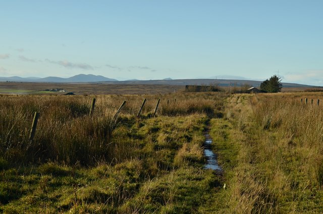
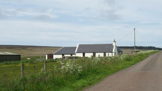
Dubh Lochs is a group of freshwater lochs located in the county of Caithness, Scotland. This natural formation consists of several interconnected bodies of water, including lakes, pools, ponds, and freshwater marshes. The name "Dubh Lochs" translates to "Black Lochs" in English, which can be attributed to the dark color of the water due to the presence of peat deposits.
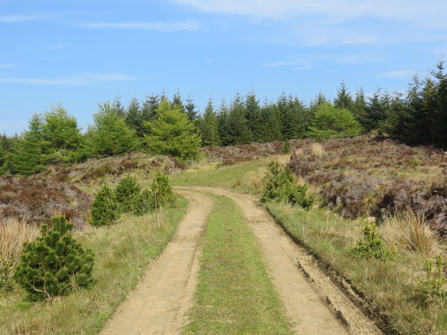
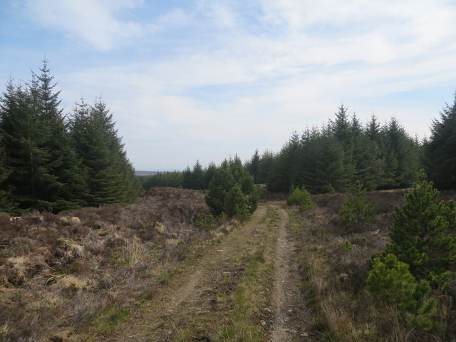
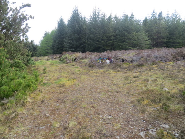
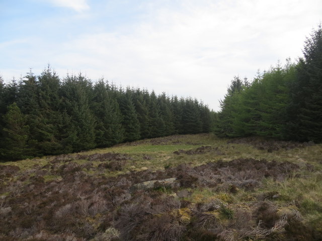
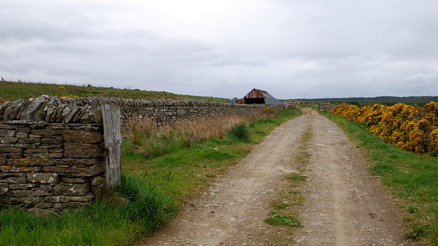
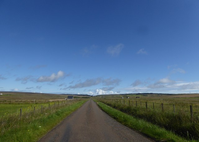
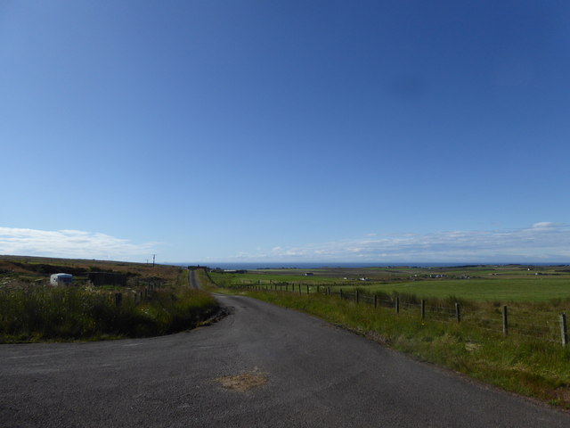
The area is characterized by its stunning natural beauty and diverse ecosystem. The surrounding landscape is dominated by rolling hills, heather moorland, and scattered woodlands, providing a picturesque backdrop to the lochs. The water bodies themselves are relatively shallow, with an average depth of around 3-5 meters, and are fed by small streams and rainfall.
Dubh Lochs serve as a vital habitat for a wide range of flora and fauna. The freshwater marshes attract various bird species, including ducks, geese, and wading birds, making it a popular spot for birdwatching enthusiasts. The lochs also support a healthy population of fish, such as brown trout and pike, providing opportunities for anglers to enjoy their favorite pastime.
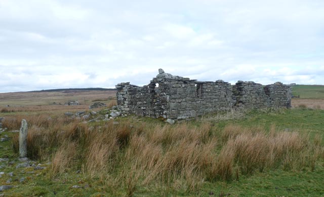
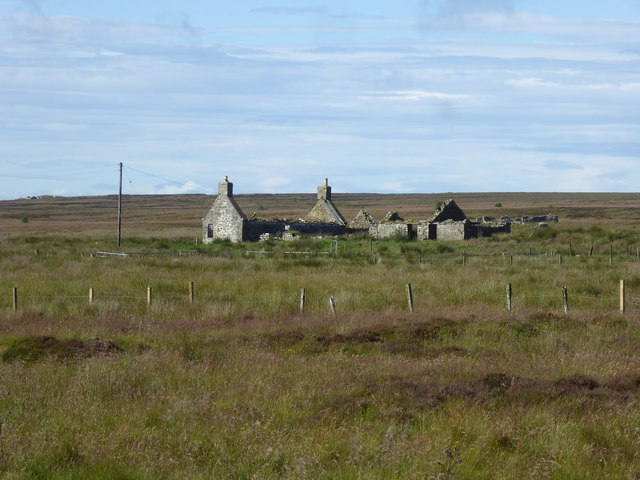
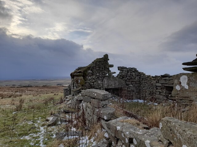
Aside from its ecological significance, Dubh Lochs also hold cultural importance in the local community. The tranquil surroundings and serene atmosphere make it a favorite spot for recreational activities like picnicking, walking, and photography. The area is easily accessible, with designated walking trails and parking facilities available for visitors.
Overall, Dubh Lochs is a natural gem in Caithness, offering a peaceful haven for both wildlife and humans alike. Its unique blend of scenic beauty and biodiversity make it a must-visit destination for nature enthusiasts and those seeking a tranquil retreat in the heart of the Scottish countryside.
If you have any feedback on the listing, please let us know in the comments section below.
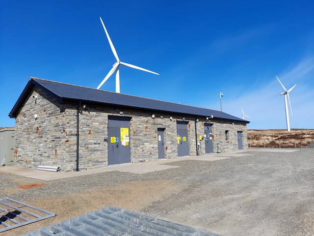
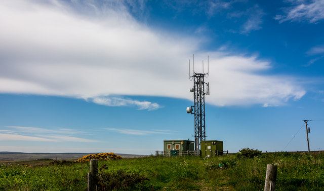
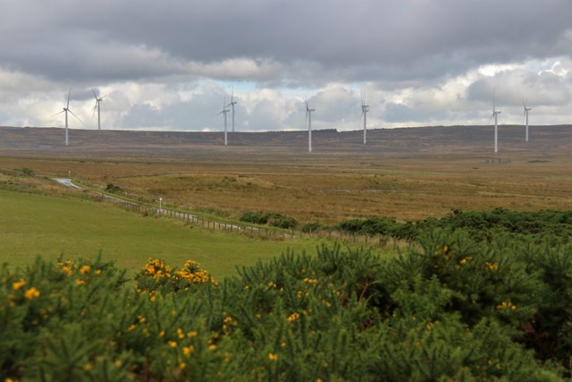
Dubh Lochs Images
Images are sourced within 2km of 58.340024/-3.2360463 or Grid Reference ND2739. Thanks to Geograph Open Source API. All images are credited.

Dubh Lochs is located at Grid Ref: ND2739 (Lat: 58.340024, Lng: -3.2360463)
Unitary Authority: Highland
Police Authority: Highlands and Islands
What 3 Words
///reserves.averages.sketching. Near Wick, Highland
Nearby Locations
Related Wikis

Roster, Caithness
Roster is a remote scattered crofting township, in Caithness, Scottish Highlands and is in the Scottish council area of Highland. Roster is located 2 miles...
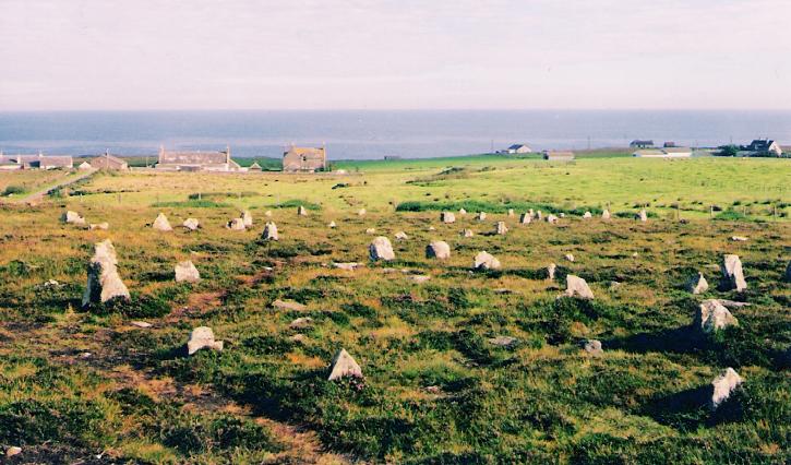
Hill o' Many Stanes
The Hill O Many Stanes is a south-facing hillside (at grid reference ND295384) in Mid Clyth, about 14 kilometres (8.7 mi) south of Wick in Caithness, in...
Upper Camster
Upper Camster is a small hamlet, which lies at the source of the Camster Burn, 4 miles north of Lybster, in Caithness, Scottish Highlands and is in the...
Clyth
Clyth is a remote scattered coastal crofting village, in eastern Caithness, Scottish Highlands and is in the Scottish council area of Highland.Upper Clyth...
Mid Clyth railway station
Mid Clyth was a railway station located between Wick and Lybster, Highland. == History == The station was opened as part of the Wick and Lybster Railway...
Achairn Burn
Achairn Burn, known also as Haster Burn, is one of the major tributaries of Wick River, in Caithness, in the Highland area of Scotland. The burn's source...
Roster Road Halt railway station
Roster Road Halt was a railway station located between Wick and Lybster in Highland, Scotland. == History == The station was opened on the Wick and Lybster...
Upper Lybster
Upper Lybster is a scattered and crofting village, situated 2 miles north of Lybster, in eastern Caithness, Scottish Highlands and is in the Scottish council...
Have you been to Dubh Lochs?
Leave your review of Dubh Lochs below (or comments, questions and feedback).