Lochs Dubh
Lake, Pool, Pond, Freshwater Marsh in Caithness
Scotland
Lochs Dubh
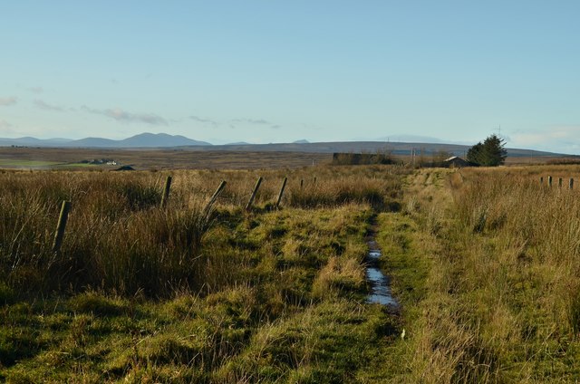
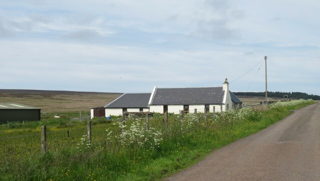
Lochs Dubh is a freshwater loch located in the county of Caithness in the northern part of Scotland. It is a natural water body characterized by its serene and picturesque surroundings. The loch is situated in a remote and sparsely populated area, surrounded by rolling hills and lush greenery.
With a surface area of approximately 50 acres, Lochs Dubh is relatively small in size. The loch is fed by several small streams and springs, ensuring a constant flow of fresh water. Its depth varies throughout, with some areas reaching depths of up to 30 feet.
Lochs Dubh is home to a diverse range of aquatic vegetation, including water lilies and reeds, which provide important habitats for various species of birds, insects, and fish. It is a popular spot for birdwatchers, as numerous waterfowl, including ducks, swans, and herons, can be spotted frolicking in and around the loch.
Angling is a common activity in Lochs Dubh, with fishing enthusiasts drawn to its abundant stocks of brown trout. The loch is renowned for its clear and clean water, making it an ideal location for fly fishing.
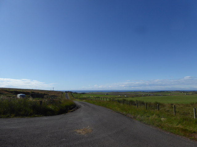
The surrounding area of Lochs Dubh is largely untouched by human development, offering visitors a peaceful and tranquil setting. The loch is accessible via a small footpath that winds through the picturesque countryside, providing ample opportunities for hiking and exploring the natural beauty of Caithness.
Overall, Lochs Dubh in Caithness is a charming and unspoiled freshwater loch, offering both recreational and ecological value to the region.
If you have any feedback on the listing, please let us know in the comments section below.
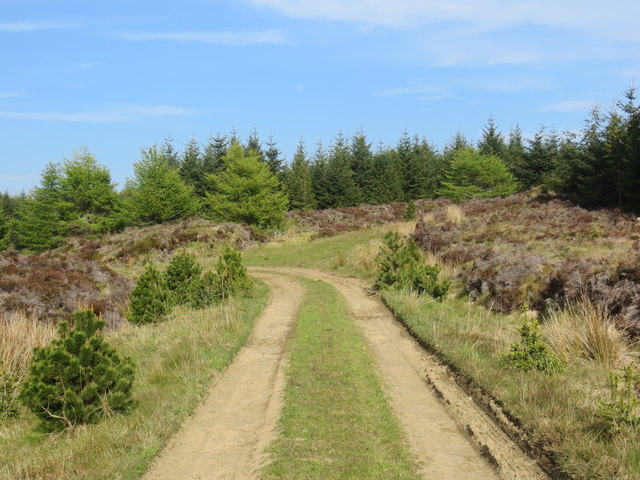
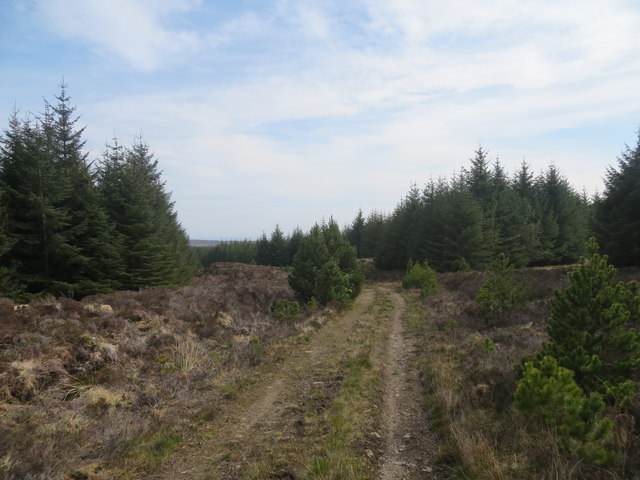
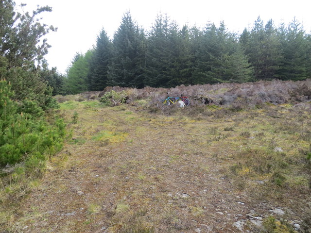
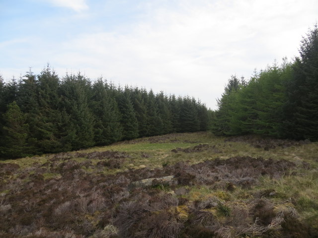
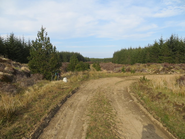
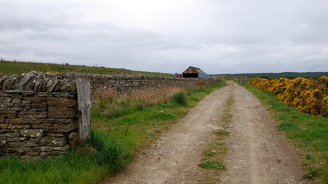
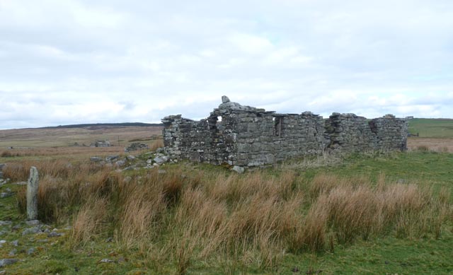
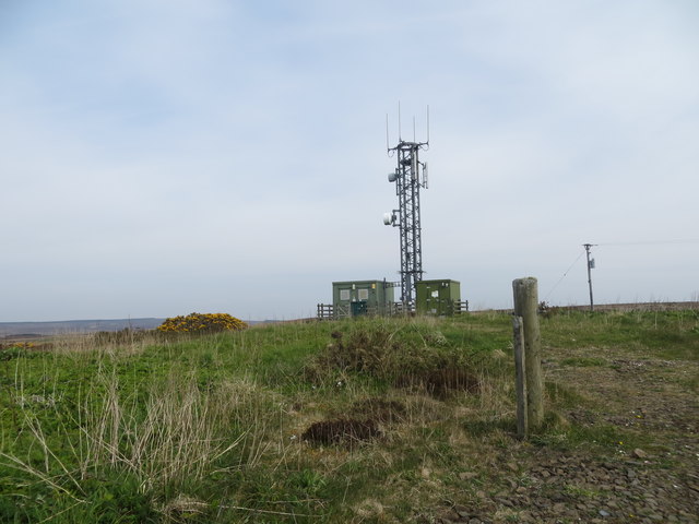
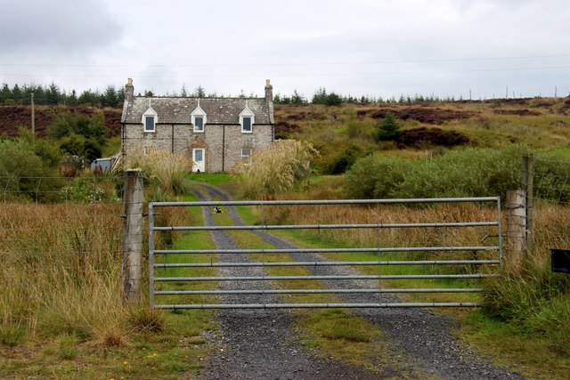
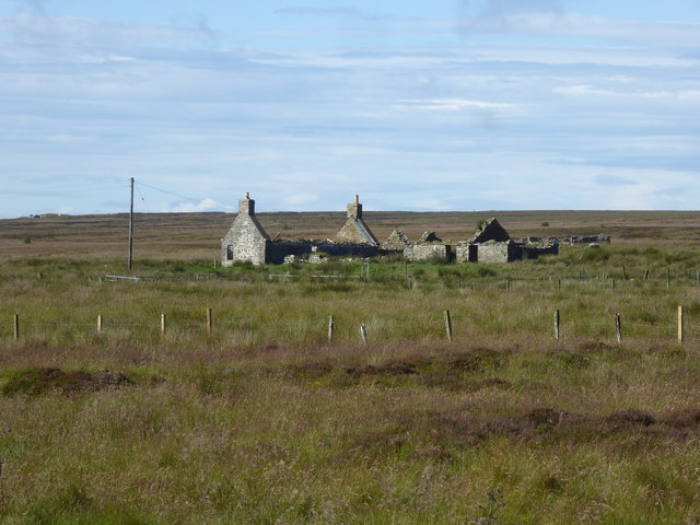
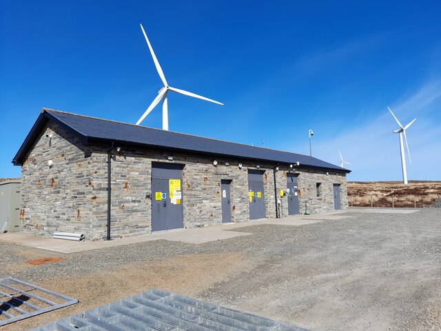
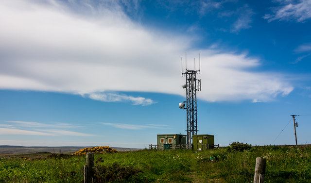
Lochs Dubh Images
Images are sourced within 2km of 58.342415/-3.2376843 or Grid Reference ND2739. Thanks to Geograph Open Source API. All images are credited.

Lochs Dubh is located at Grid Ref: ND2739 (Lat: 58.342415, Lng: -3.2376843)
Unitary Authority: Highland
Police Authority: Highlands and Islands
What 3 Words
///muted.prompting.campsites. Near Wick, Highland
Nearby Locations
Related Wikis

Roster, Caithness
Roster is a remote scattered crofting township, in Caithness, Scottish Highlands and is in the Scottish council area of Highland. Roster is located 2 miles...
Upper Camster
Upper Camster is a small hamlet, which lies at the source of the Camster Burn, 4 miles north of Lybster, in Caithness, Scottish Highlands and is in the...
Achairn Burn
Achairn Burn, known also as Haster Burn, is one of the major tributaries of Wick River, in Caithness, in the Highland area of Scotland. The burn's source...
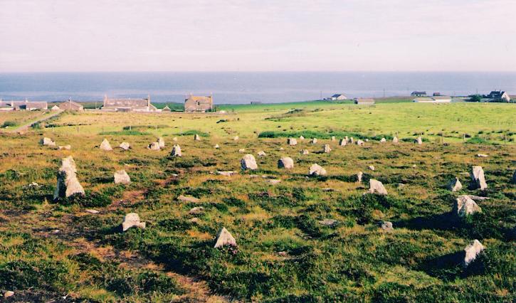
Hill o' Many Stanes
The Hill O Many Stanes is a south-facing hillside (at grid reference ND295384) in Mid Clyth, about 14 kilometres (8.7 mi) south of Wick in Caithness, in...
Clyth
Clyth is a remote scattered coastal crofting village, in eastern Caithness, Scottish Highlands and is in the Scottish council area of Highland.Upper Clyth...
Mid Clyth railway station
Mid Clyth was a railway station located between Wick and Lybster, Highland. == History == The station was opened as part of the Wick and Lybster Railway...
Roster Road Halt railway station
Roster Road Halt was a railway station located between Wick and Lybster in Highland, Scotland. == History == The station was opened on the Wick and Lybster...
Upper Lybster
Upper Lybster is a scattered and crofting village, situated 2 miles north of Lybster, in eastern Caithness, Scottish Highlands and is in the Scottish council...
Have you been to Lochs Dubh?
Leave your review of Lochs Dubh below (or comments, questions and feedback).