Beacon Tarn

Lake, Pool, Pond, Freshwater Marsh in Lancashire South Lakeland

England

Beacon Tarn

The Cumbria Way near Beacon Fell The Cumbria Way crosses the bracken covered northern slopes of Beacon Fell, above Stable Harvey Moss (next photograph <a href="https://www.geograph.org.uk/photo/6920540">SD2791 : The Cumbria Way near Stable Harvey Moss</a>).
The Cumbria Way near Beacon Fell Credit: Adrian Taylor

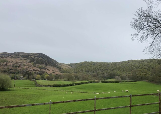
Beacon Tarn is a picturesque freshwater lake located in Lancashire, England. Nestled within the rolling hills and lush greenery of the countryside, this tranquil body of water offers a serene escape for nature lovers and outdoor enthusiasts.

With a surface area of approximately 2 hectares, Beacon Tarn boasts crystal clear waters that are home to a variety of aquatic life. The lake is surrounded by dense vegetation, including reeds and water lilies, which provide a haven for a diverse range of bird species, such as swans, ducks, and herons. This makes it a popular spot for birdwatchers who can observe these magnificent creatures in their natural habitat.

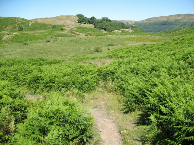
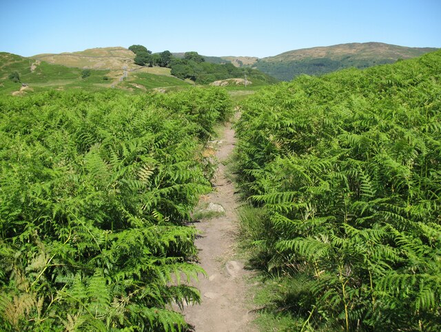
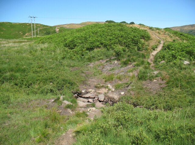
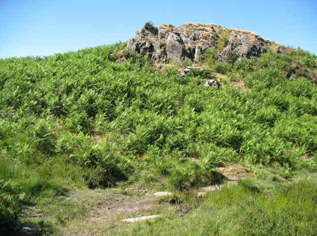
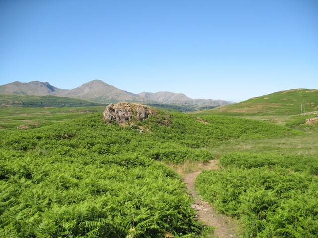
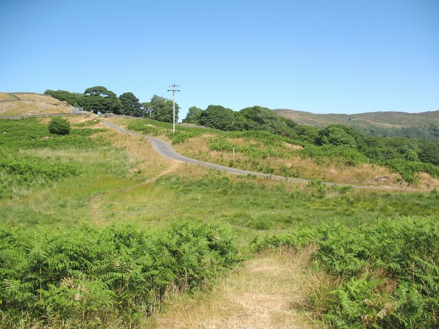
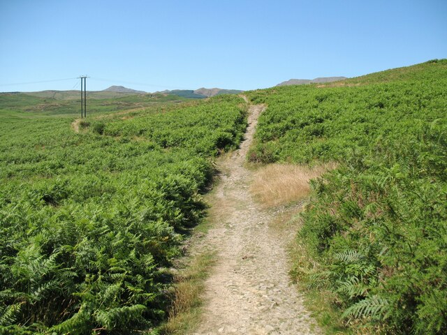
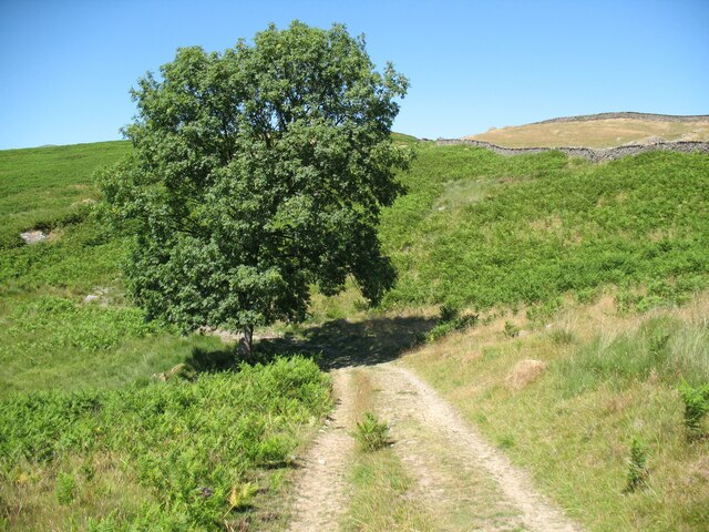
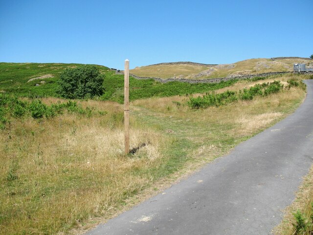
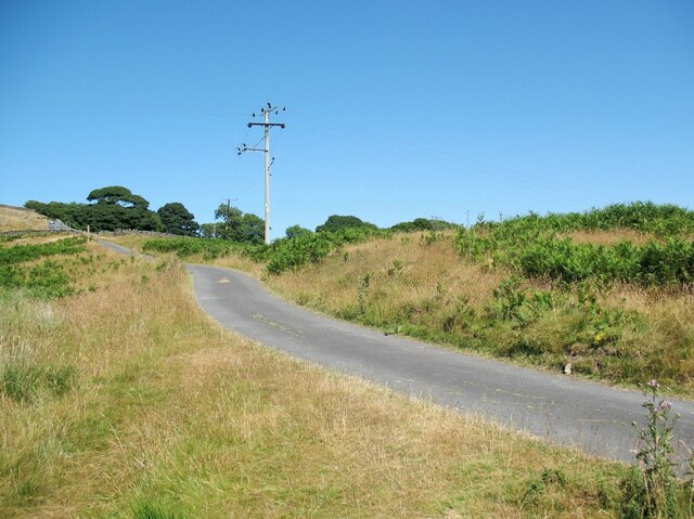
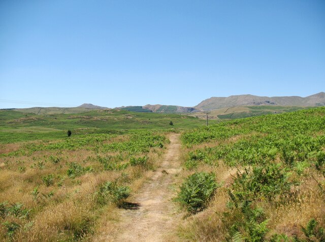
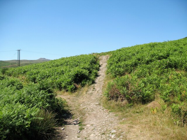
Surrounded by a well-maintained footpath, Beacon Tarn offers visitors the opportunity to take leisurely walks and enjoy the breathtaking scenery. The path winds its way through the surrounding woodland, offering stunning views of the lake from different angles. The calm and peaceful atmosphere of the tarn makes it an ideal place for picnics, fishing, or simply unwinding amidst nature's beauty.

The conservation of Beacon Tarn is of utmost importance to the local community and efforts are made to maintain its pristine condition. The lake is regularly monitored to ensure the water quality remains high, providing a healthy ecosystem for the flora and fauna to thrive.

Overall, Beacon Tarn is a hidden gem in Lancashire, offering a tranquil retreat and a chance to connect with nature. Its serene waters, abundant wildlife, and scenic surroundings make it a must-visit destination for anyone seeking solace in the beauty of the natural world.

If you have any feedback on the listing, please let us know in the comments section below.

Beacon Tarn Images

Images are sourced within 2km of 54.300752/-3.1171079 or Grid Reference SD2790. Thanks to Geograph Open Source API. All images are credited.

The Cumbria Way near Beacon Fell The Cumbria Way crosses the bracken covered northern slopes of Beacon Fell, above Stable Harvey Moss (next photograph <a href="https://www.geograph.org.uk/photo/6920540">SD2791 : The Cumbria Way near Stable Harvey Moss</a>).
The Cumbria Way near Beacon Fell
The Cumbria Way crosses the bracken covered northern slopes of Beacon Fell, above Stable Harvey Moss (next photograph SD2791 : The Cumbria Way near Stable Harvey Moss).
The Cumbria Way near Beacon Fell The Cumbria Way long distance footpath descends towards Stable Harvey Moss and Torver Low Common before taking a more north-easterly direction lower down the slope (next photograph <a href="https://www.geograph.org.uk/photo/6915307">SD2791 : The Cumbria Way near Beacon Fell</a>).
The three main mountains in the background are Dow Crag (2,555’), Coniston Old Man (2,635’) and Wetherlam (2502’).  Helvellyn (3118') is visible in the distant right background.
Note: The height in feet of some of the Lake District mountains varies on different editions of the Ordnance Survey map and will depend upon the survey point used by the surveyors at the time; it is rarely the highest point on the mountain. The heights above are taken from the Ordnance Survey 1” map Sheet 88, revised 1962-63 B).
The Cumbria Way near Beacon Fell
The Cumbria Way long distance footpath descends towards Stable Harvey Moss and Torver Low Common before taking a more north-easterly direction lower down the slope (next photograph SD2791 : The Cumbria Way near Beacon Fell). The three main mountains in the background are Dow Crag (2,555’), Coniston Old Man (2,635’) and Wetherlam (2502’). Helvellyn (3118') is visible in the distant right background. Note: The height in feet of some of the Lake District mountains varies on different editions of the Ordnance Survey map and will depend upon the survey point used by the surveyors at the time; it is rarely the highest point on the mountain. The heights above are taken from the Ordnance Survey 1” map Sheet 88, revised 1962-63 B).
The Cumbria Way near Stable Harvey Moss The Cumbria Way long distance footpath passes through an area of bracken on the lower slopes of Beacon Fell, turning left to follow the main path (next photograph <a href="https://www.geograph.org.uk/photo/6925753">SD2791 : The Cumbria Way near Stable Harvey Moss</a>).
The Cumbria Way near Stable Harvey Moss
The Cumbria Way long distance footpath passes through an area of bracken on the lower slopes of Beacon Fell, turning left to follow the main path (next photograph SD2791 : The Cumbria Way near Stable Harvey Moss).
The Cumbria Way near Stable Harvey Moss The Cumbria Way long distance footpath passes through an area of bracken on the lower slopes of Beacon Fell (next photograph <a href="https://www.geograph.org.uk/photo/6920535">SD2791 : The Cumbria Way near Stable Harvey Moss</a>).
The Cumbria Way near Stable Harvey Moss
The Cumbria Way long distance footpath passes through an area of bracken on the lower slopes of Beacon Fell (next photograph SD2791 : The Cumbria Way near Stable Harvey Moss).
Black Beck near Stable Harvey Moss Black Beck drains the bog of Stable Harvey Moss and the southern part of Torver Low Common and flows into Coniston Water.
The Cumbria Way long distance footpath crosses the beck by a small ford (next photograph <a href="https://www.geograph.org.uk/photo/6927171">SD2891 : The Cumbria Way near Stable Harvey</a>).
Black Beck near Stable Harvey Moss
Black Beck drains the bog of Stable Harvey Moss and the southern part of Torver Low Common and flows into Coniston Water. The Cumbria Way long distance footpath crosses the beck by a small ford (next photograph SD2891 : The Cumbria Way near Stable Harvey).
The Cumbria Way near Stable Harvey Moss The Cumbria Way, a 74 mile long distance path from Ulverston to Carlisle crosses a small boggy stream below a rocky outcrop near Stable Harvey Moss (next photograph <a href="https://www.geograph.org.uk/photo/6925738">SD2791 : Black Beck near Stable Harvey Moss</a>).
The Cumbria Way near Stable Harvey Moss
The Cumbria Way, a 74 mile long distance path from Ulverston to Carlisle crosses a small boggy stream below a rocky outcrop near Stable Harvey Moss (next photograph SD2791 : Black Beck near Stable Harvey Moss).
The Cumbria Way near Stable Harvey Moss The Cumbria Way descends the lower slopes of Beacon Fell near Stable Harvey Moss towards a rocky outcrop (next photograph <a href="https://www.geograph.org.uk/photo/6925747">SD2791 : The Cumbria Way near Stable Harvey Moss</a>).
Dow Crag, Coniston Old Man and Wetherlam are in the background.
The Cumbria Way near Stable Harvey Moss
The Cumbria Way descends the lower slopes of Beacon Fell near Stable Harvey Moss towards a rocky outcrop (next photograph SD2791 : The Cumbria Way near Stable Harvey Moss). Dow Crag, Coniston Old Man and Wetherlam are in the background.
The Cumbria Way near Stable Harvey The Cumbria Way crosses low lying undulating ground near Stable Harvey Moss as it approaches the road near Stable Harvey (next photograph <a href="https://www.geograph.org.uk/photo/6929558">SD2891 : The road to Stable Harvey</a>).
The Cumbria Way near Stable Harvey
The Cumbria Way crosses low lying undulating ground near Stable Harvey Moss as it approaches the road near Stable Harvey (next photograph SD2891 : The road to Stable Harvey).
Public bridleway near Stable Harvey Moss The bridleway runs from Stable Harvey to Mill Bridge near Torver and bears left at the path junction ahead.  It is the route of The Cumbria Way long distance footpath (next photograph <a href="https://www.geograph.org.uk/photo/6930295">SD2891 : The Cumbria Way near Stable Harvey Moss</a>).
Public bridleway near Stable Harvey Moss
The bridleway runs from Stable Harvey to Mill Bridge near Torver and bears left at the path junction ahead. It is the route of The Cumbria Way long distance footpath (next photograph SD2891 : The Cumbria Way near Stable Harvey Moss).
Ash tree near Stable Harvey Moss The path in the foreground joins a bridleway from Stable Harvey to Mill Bridge beside the tree.  Northbound walkers following The Cumbria Way long distance path continue north-west along the bridleway (next photograph <a href="https://www.geograph.org.uk/photo/6927965">SD2891 : Public bridleway near Stable Harvey Moss</a>).
The grass is dry due to a prolonged spell of fine weather.
Ash tree near Stable Harvey Moss
The path in the foreground joins a bridleway from Stable Harvey to Mill Bridge beside the tree. Northbound walkers following The Cumbria Way long distance path continue north-west along the bridleway (next photograph SD2891 : Public bridleway near Stable Harvey Moss). The grass is dry due to a prolonged spell of fine weather.
Torver Low Common near Stable Harvey The path leaves the minor road from Brown Howe to Stable Harvey.  It is signposted for The Cumbria Way long distance path which has followed the minor road northwards for approximately 60m (65 yards) and walkers following The Cumbria Way normally take this route (next photograph <a href="https://www.geograph.org.uk/photo/6927980">SD2891 : Ash tree near Stable Harvey Moss</a>).
The signpost is mis-located as the public right of way (and the official route of The Cumbria Way) leaves the road some 55m (60 yards) further to the north east towards Stable Harvey Farm.  The land here is Access Land so no trespass is incurred.
The grass is parched due to a prolonged period of dry weather.
Torver Low Common near Stable Harvey
The path leaves the minor road from Brown Howe to Stable Harvey. It is signposted for The Cumbria Way long distance path which has followed the minor road northwards for approximately 60m (65 yards) and walkers following The Cumbria Way normally take this route (next photograph SD2891 : Ash tree near Stable Harvey Moss). The signpost is mis-located as the public right of way (and the official route of The Cumbria Way) leaves the road some 55m (60 yards) further to the north east towards Stable Harvey Farm. The land here is Access Land so no trespass is incurred. The grass is parched due to a prolonged period of dry weather.
The road to Stable Harvey Stable Harvey is a farm and is the only property served by a minor road from the A5084 near Brown Howe.
The Cumbria Way long distance path joins the road on Torver Low Common near Black Beck (next photograph <a href="https://www.geograph.org.uk/photo/6928292">SD2891 : Torver Low Common near Stable Harvey</a>).
The grass is parched after a prolonged period of dry weather.
The road to Stable Harvey
Stable Harvey is a farm and is the only property served by a minor road from the A5084 near Brown Howe. The Cumbria Way long distance path joins the road on Torver Low Common near Black Beck (next photograph SD2891 : Torver Low Common near Stable Harvey). The grass is parched after a prolonged period of dry weather.
Path on Tottle Bank Crossing the open ground of Torver Low Common below Tottle Bank, this path is an alternative route for The Cumbria Way, a 74 mile long distance trail between Ulverston and Carlisle (next photograph <a href="https://www.geograph.org.uk/photo/6938645">SD2892 : Bridleway, Tottle Bank</a>).
The grass is dry after a long period of dry weather.
Path on Tottle Bank
Crossing the open ground of Torver Low Common below Tottle Bank, this path is an alternative route for The Cumbria Way, a 74 mile long distance trail between Ulverston and Carlisle (next photograph SD2892 : Bridleway, Tottle Bank). The grass is dry after a long period of dry weather.
The Cumbria Way near Stable Harvey Moss The Cumbria Way long distance path follows a public bridleway from near Stable Harvey to Mere Beck on Torver Low Common.  The bridleway makes a turn to the left near Stable Harvey Moss and a path continues straight ahead which is an alternative route for walkers following The Cumbria Way (next photograph <a href="https://www.geograph.org.uk/photo/6930288">SD2891 : Path on Tottle Bank</a>).
The Cumbria Way near Stable Harvey Moss
The Cumbria Way long distance path follows a public bridleway from near Stable Harvey to Mere Beck on Torver Low Common. The bridleway makes a turn to the left near Stable Harvey Moss and a path continues straight ahead which is an alternative route for walkers following The Cumbria Way (next photograph SD2891 : Path on Tottle Bank).
A glimpse of Coniston Water Towards the southern end of the lake. Boon Wood on the left
A glimpse of Coniston Water
Towards the southern end of the lake. Boon Wood on the left
Farmland at High Nibthwaite South of Coniston Water. The crag on the left is Brook Barrow
Farmland at High Nibthwaite
South of Coniston Water. The crag on the left is Brook Barrow
Road junction in Water Yeat
Water Yeat Mill This former corn mill was supplied with water power by Greenholme Beck, fed by Beacon Tarn.  It was converted in the mid-1960s into sheltered accommodation for elderly people and now, much altered, it is partly residential with the remainder let for holidays.
Water Yeat Mill
This former corn mill was supplied with water power by Greenholme Beck, fed by Beacon Tarn. It was converted in the mid-1960s into sheltered accommodation for elderly people and now, much altered, it is partly residential with the remainder let for holidays.
Show me another place!

Beacon Tarn is located at Grid Ref: SD2790 (Lat: 54.300752, Lng: -3.1171079)

Administrative County: Cumbria

District: South Lakeland

Police Authority: Cumbria

What 3 Words

///crafts.glow.encloses. Near Ulverston, Cumbria

Related Wikis

Woodland Fell

Woodland Fell is an upland area in the south of the English Lake District, south of Torver, Cumbria. It is the subject of a chapter of Wainwright's book...

Beacon Fell, Cumbria

Beacon Fell is a fell in the southern Lake District of England with an altitude of 836 feet (255 m). It is the subject of a chapter of Wainwright's book...

Blawith Knott

Blawith Knott is a hill in the south of the English Lake District, near Woodland, Cumbria. It is the subject of a chapter of Wainwright's book The Outlying...

Nibthwaite

Nibthwaite is a village in the South Lakeland District in the county of Cumbria in the northwest of England. It is in the civil parish of Colton, and on...

St John the Baptist's Church, Blawith

St John the Baptist's Church is a redundant Anglican church in the settlement of Blawith, Cumbria, England. It is located to the east of the A5084 road...

Blawith and Subberthwaite

Blawith and Subberthwaite is a civil parish in the South Lakeland district of Cumbria, England. It is situated in the Lake District National Park, and...

Peel Island, Cumbria

Peel Island (formerly known as Montague Island or the Gridiron) is one of the three islands of Coniston Water in the English Lake District, Cumbria. The...

St John the Evangelist's Church, Woodland

St John the Evangelist's Church is in the hamlet of Woodland, about 4 kilometres (2 mi) to the northeast of Broughton-in-Furness, Cumbria, England. It...

Nearby Amenities

Located within 500m of 54.300752,-3.1171079
Source: npe
Lat/Long: 54.3031138/-3.1161649
Source: npe
Lat/Long: 54.3019994/-3.1158752
Source: npe
Lat/Long: 54.3012546/-3.1159294
Source: npe
Lat/Long: 54.3002585/-3.1161496
Source: npe
Lat/Long: 54.2989135/-3.1164354
Source: npe
Lat/Long: 54.2998397/-3.1176353
Source: npe
Lat/Long: 54.3004213/-3.1183383
Source: npe
Lat/Long: 54.3006867/-3.1184047
Source: npe
Lat/Long: 54.3018111/-3.1175872
Source: npe
Lat/Long: 54.3023375/-3.1171412
Ford: yes
Lat/Long: 54.2989021/-3.1163754
Ford: yes
Lat/Long: 54.2990408/-3.1154292
Wool Knott
Ele: 219
Natural: peak
Lat/Long: 54.2969316/-3.1189283
Slatestone Fell
Place: locality
Lat/Long: 54.2993873/-3.1104185
Bleak Knott
Place: locality
Lat/Long: 54.3017939/-3.1136732
Ford: yes
Lat/Long: 54.2989618/-3.1157441
Ford: yes
Lat/Long: 54.2988938/-3.1134103
The data included in this document is from www.openstreetmap.org. The data is made available under ODbL.

Have you been to Beacon Tarn?

Leave your review of Beacon Tarn below (or comments, questions and feedback).