Smithton Loch
Lake, Pool, Pond, Freshwater Marsh in Angus
Scotland
Smithton Loch
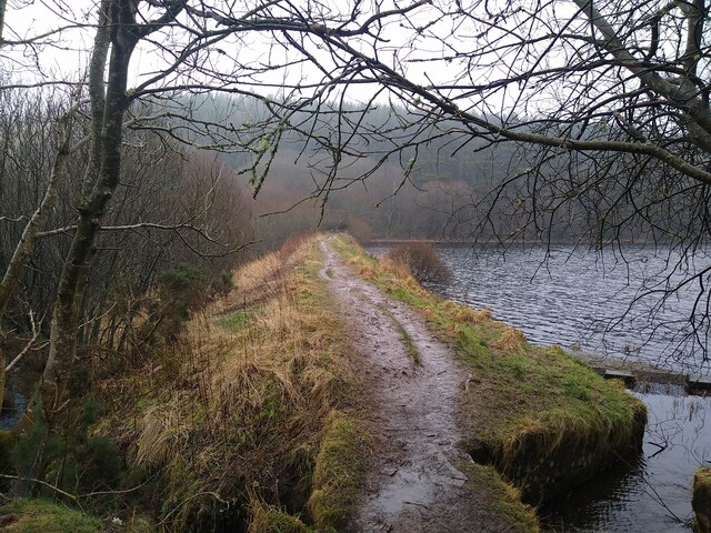
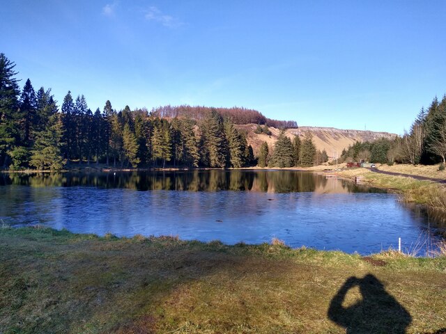
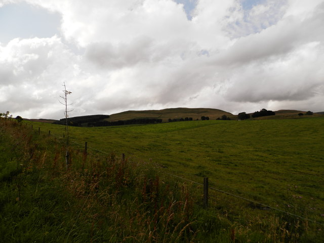
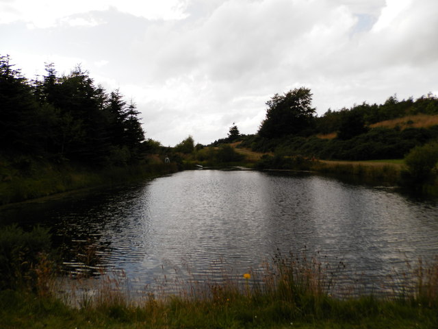
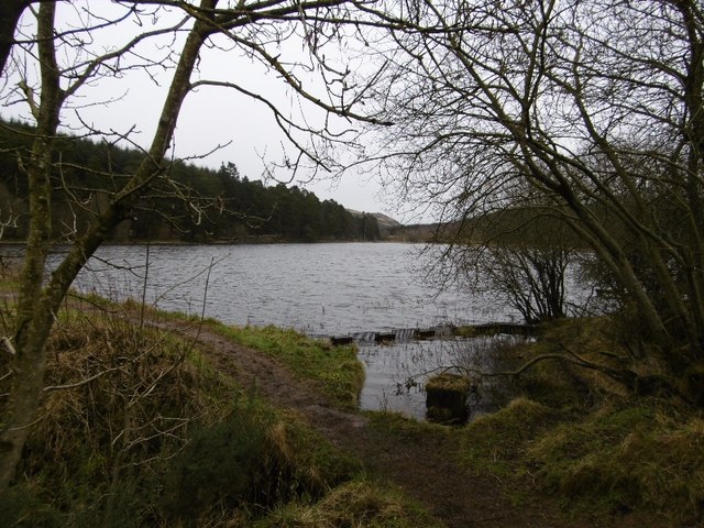
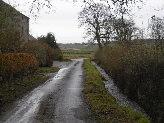
Smithton Loch is a picturesque freshwater loch located in the Angus region of Scotland. It is nestled amidst the rolling hills and lush greenery, making it a popular destination for nature enthusiasts and birdwatchers alike. Spanning an area of approximately 20 acres, the loch is a haven for wildlife and offers a serene and tranquil environment for visitors.
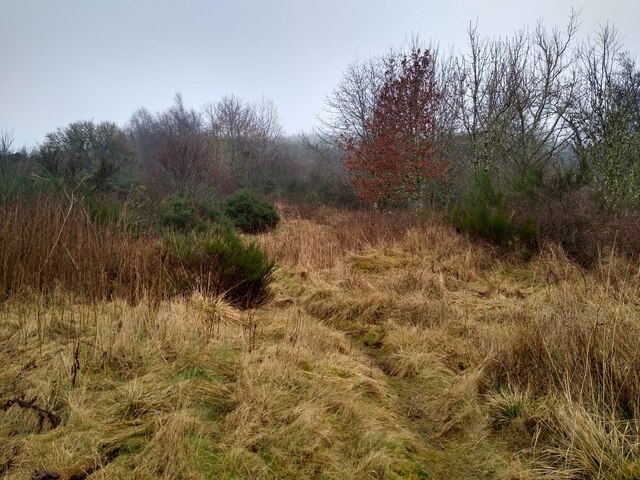
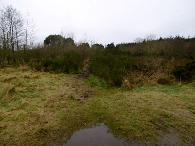
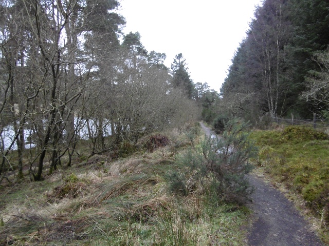
Surrounded by reed beds and marshes, Smithton Loch is home to a diverse range of plant and animal species. The freshwater marshes provide an ideal habitat for a variety of waterfowl, including ducks, swans, and geese. The reeds along the shoreline provide shelter for smaller bird species such as warblers and reed buntings. This makes it a prime location for birdwatching, with enthusiasts flocking to the area to catch a glimpse of the numerous avian species.
The loch itself is a natural beauty, its calm waters reflecting the surrounding landscape. It is ideal for leisurely walks along the shoreline or for those looking to engage in peaceful activities such as fishing or boating. Anglers can expect to find a variety of fish in the loch, including pike, perch, and trout.
Access to Smithton Loch is easy, with a car park located nearby, ensuring that visitors can easily explore and enjoy the natural beauty of this hidden gem. Whether it is for birdwatching, fishing, or simply to bask in the tranquility of nature, Smithton Loch offers a unique and unforgettable experience for all who visit.
If you have any feedback on the listing, please let us know in the comments section below.
Smithton Loch Images
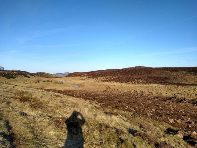
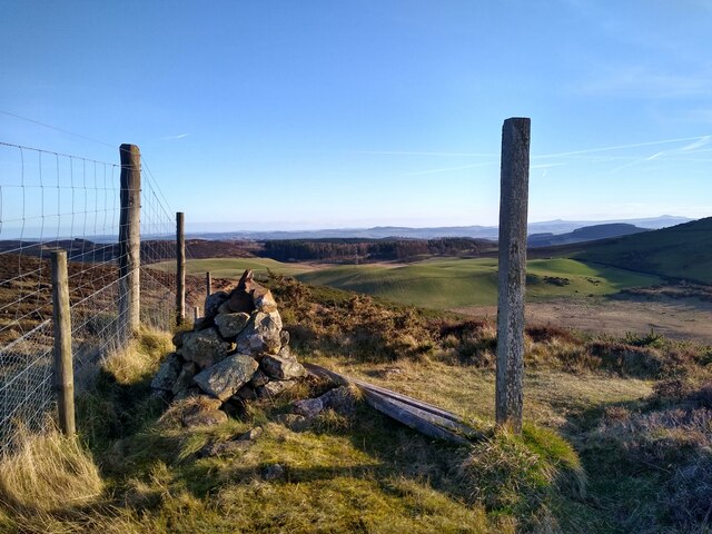
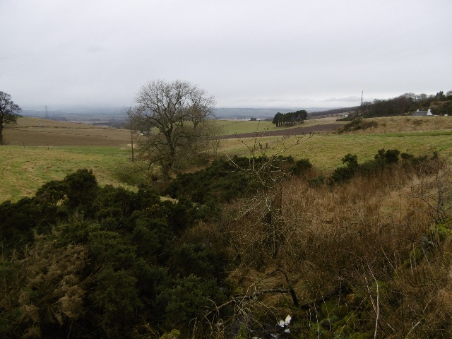
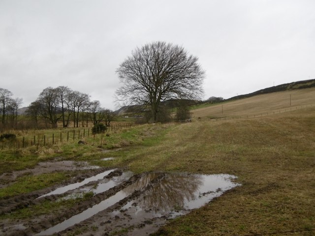
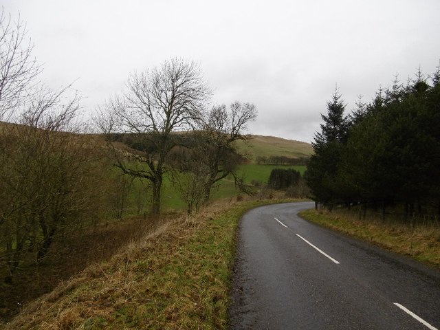
Images are sourced within 2km of 56.517232/-3.1822986 or Grid Reference NO2736. Thanks to Geograph Open Source API. All images are credited.

Smithton Loch is located at Grid Ref: NO2736 (Lat: 56.517232, Lng: -3.1822986)
Unitary Authority: Angus
Police Authority: Tayside
What 3 Words
///flagpole.pepper.shots. Near Coupar Angus, Perth & Kinross
Nearby Locations
Related Wikis

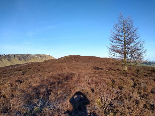
Lundie Craigs
Lundie Craigs/Westerkeith Hill is one of the hills of the Sidlaw range in South East Perthshire.Lundie Craigs/Westerkeith Hill is located near Coupar Angus...

Lundie Kirk
Lundie Kirk was the parish church of Lundie, Angus, in Scotland from the 12th century until 2017. The church was constructed in Romanesque style in the...
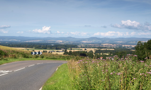
Lundie
Lundie is a parish and small settlement in Angus, Scotland, 10 miles (16 km) northwest of Dundee, situated at the head of the Dighty valley in the Sidlaws...

Sidlaws
The Sidlaws are a range of hills in the counties of Perthshire and Angus in Scotland that extend for 30 miles (45 km) from Kinnoull Hill, near Perth, northeast...
Nearby Amenities
Located within 500m of 56.517232,-3.1822986Have you been to Smithton Loch?
Leave your review of Smithton Loch below (or comments, questions and feedback).