Bottom Reservoir

Lake, Pool, Pond, Freshwater Marsh in Denbighshire

Wales

Bottom Reservoir

Barn at Pen-y-bryn The location of the old phone box, still marked on the OS map, is given by the black box on the barn wall.
Barn at Pen-y-bryn Credit: John H Darch

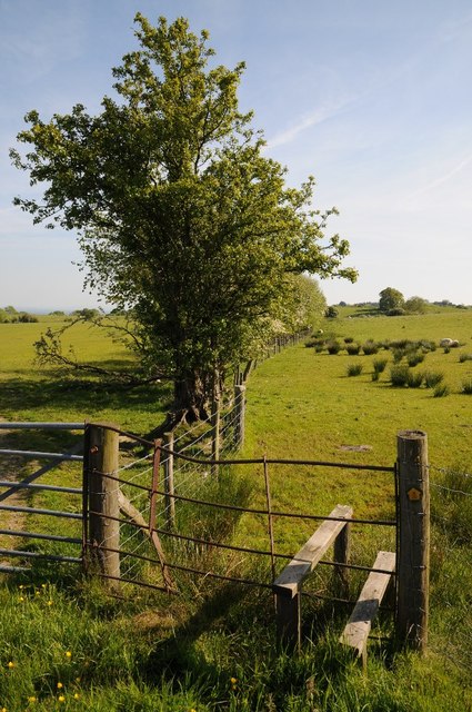
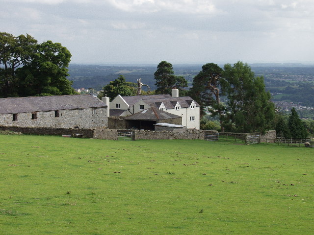
Bottom Reservoir, located in Denbighshire, is a picturesque freshwater marsh nestled within the beautiful Welsh countryside. Spanning over a surface area of approximately 30 acres, this reservoir is a popular destination for nature enthusiasts and anglers alike.

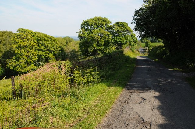
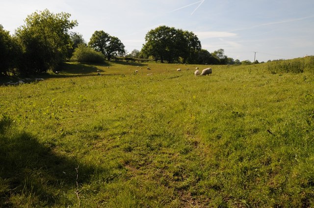
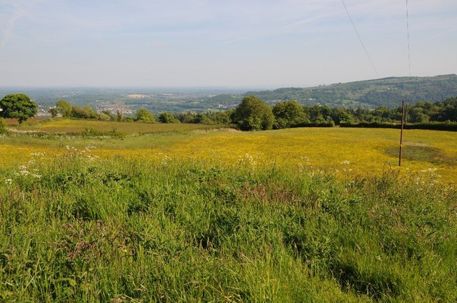
The reservoir is characterized by its calm and tranquil waters, which are surrounded by lush greenery and rolling hills. The area is home to a diverse range of flora and fauna, including various species of water birds, fish, and aquatic plants. The reservoir provides a crucial habitat for these organisms, contributing to the local ecosystem's biodiversity.

Anglers are drawn to Bottom Reservoir for its abundance of fish, including carp, bream, and roach. The reservoir is well-stocked and offers an excellent opportunity for fishing enthusiasts to test their skills and enjoy a serene fishing experience. Fishing permits and regulations are in place to ensure sustainable practices and protect the reservoir's delicate ecosystem.

For those seeking a peaceful retreat, Bottom Reservoir is an ideal spot for leisurely walks and picnics. The surrounding landscape offers breathtaking views, and visitors can enjoy the tranquility of the reservoir's calm waters. The area is also equipped with convenient facilities, such as parking areas and picnic spots, ensuring a comfortable and enjoyable visit.

Bottom Reservoir, with its serene ambiance and rich biodiversity, offers a unique experience for nature lovers and outdoor enthusiasts. Whether it's fishing, birdwatching, or simply basking in the beauty of nature, this reservoir is a must-visit destination in Denbighshire.

If you have any feedback on the listing, please let us know in the comments section below.

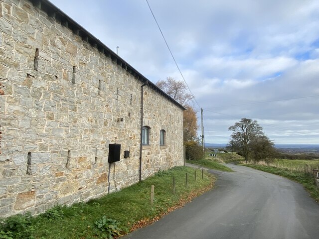
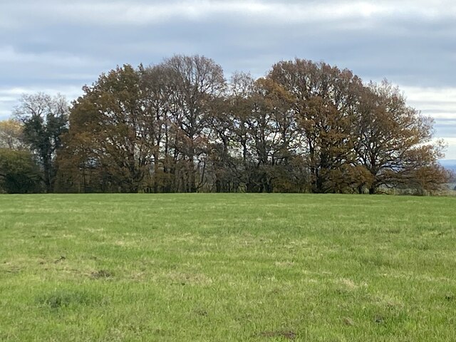
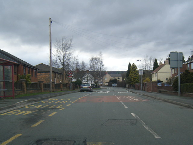
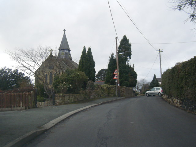
Bottom Reservoir Images

Images are sourced within 2km of 53.000822/-3.0856096 or Grid Reference SJ2745. Thanks to Geograph Open Source API. All images are credited.

Barn at Pen-y-bryn The location of the old phone box, still marked on the OS map, is given by the black box on the barn wall.
Barn at Pen-y-bryn
The location of the old phone box, still marked on the OS map, is given by the black box on the barn wall.
Field and trees east of Bowers Road
Copperas Hill
Copperas Hill
Bryn-Y-Coed looking west
Church Street and St Thomas Church
Lane bend at Pen-y-bryn
Lane looking west near Cae-Merddyn
Stile and footpath Stile and footpath to Tai-nant.
Stile and footpath
Stile and footpath to Tai-nant.
Country road approaching Tai-nant
Farmland near Trefechan
Peny-bryn-hall View over Peny-bryn-hall.
Peny-bryn-hall
View over Peny-bryn-hall.
View over the Dee valley View over the Dee valley from above Garth.
View over the Dee valley
View over the Dee valley from above Garth.
Farmland ESE of Llanerchrugog Hall at Rhosllanerchrugog
Onen Fawr Farm by Rhosllannerchrugog A sheep and cattle farm just below the mountain. Most of the grassland is improved and looking good.
Onen Fawr Farm by Rhosllannerchrugog
A sheep and cattle farm just below the mountain. Most of the grassland is improved and looking good.
Springtime Bluebells at Pant Glas
Springtime
Bluebells at Pant Glas
Springtime More Bluebells
Springtime
More Bluebells
Farm buildings at Cae-Merddyn Well maintained traditional farm buildings on this upland farm. The view is southeast towards the Cheshire plain 15 km away.
Farm buildings at Cae-Merddyn
Well maintained traditional farm buildings on this upland farm. The view is southeast towards the Cheshire plain 15 km away.
Pen-y-bryn on the hill above Trevor A small habitation still with some of the red multi-paned public telephone boxes. I'm sure with the accountants driving Telecom plc its days are numbered.
Pen-y-bryn on the hill above Trevor
A small habitation still with some of the red multi-paned public telephone boxes. I'm sure with the accountants driving Telecom plc its days are numbered.
Show me another place!

Bottom Reservoir is located at Grid Ref: SJ2745 (Lat: 53.000822, Lng: -3.0856096)

Unitary Authority: Wrexham

Police Authority: North Wales

What 3 Words

///publisher.artichoke.wisdom. Near Rhosllanerchrugog, Wrexham

Nearby Locations

Trefechan Bottom Reservoir

Related Wikis

Pen-y-cae, Wrexham

Pen-y-cae is a village and community in Wrexham County Borough, Wales. The population of the community taken at the 2011 census was 3,389. It adjoins the...

Penycae F.C.

Penycae Football Club is a Welsh football club based in Pen-y-cae, Wrexham whose first team currently plays in the Ardal Leagues North East. Following...

Pant Halt railway station

Pant Halt railway station served the hamlet of Pant-pastynog, Denbighshire, Wales, from 1905 to 1915 on the Pontcysyllte branch. == History == The station...

Wynn Hall

Wynn Hall is a 17th-century house in the old hamlet of Bodylltyn in Ruabon, Wrexham, Wales standing at the junction of the Penycae Road and Plas Bennion...

Brook Street Halt railway station

Brook Street Halt railway station served the town of Rhosllanerchrugog, Denbighshire, Wales, from 1905 to 1915 on the Pontcysyllte branch. == History... ==

Wynn Hall Halt railway station

Wynn Hall Halt railway station co-served the hamlet of Bodylltyn, Denbighshire, Wales, from 1905 to 1915 on the Pontcysyllte branch. == History == The...

Rhos (GWR) railway station

Rhos (GWR) railway station served the village of Rhosllanerchrugog, Denbighshire, Wales, from 1901 to 1963 on the Pontcysyllte branch. == History == The...

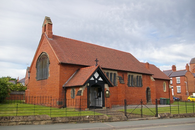
St David's Welsh Church, Rhosllannerchrugog

St David's Welsh Church is located on Broad Street, in Rhosllannerchrugog, Wrexham County Borough, Wales. The church was built in 1892 to a design by Douglas...

Nearby Amenities

Located within 500m of 53.000822,-3.0856096
Trefechan
Alt Name: Drefechan
Alt Name Cy: Drefechan
Name Cy: Trefechan
Name En: Trefechan
Place: hamlet
Source: NPE
Wikidata: Q107033437
Lat/Long: 53.004463/-3.0886577
Ffynnon Mair
Description: Holy Well
Fixme: position_approximate;survey_required
Historic: monument
Man Made: water_well
Lat/Long: 53.0031201/-3.0893015
Grit Bin
Lat/Long: 53.001456/-3.08047
Power: pole
Lat/Long: 53.000436/-3.0833935
Power: pole
Lat/Long: 52.998089/-3.0816393
Power: pole
Lat/Long: 53.0032054/-3.0828184
Power: pole
Lat/Long: 52.9989381/-3.0825137
Power: pole
Lat/Long: 52.9996451/-3.0834525
Power: pole
Lat/Long: 53.0025017/-3.0829686
Power: pole
Lat/Long: 53.004071/-3.0826371
Power: pole
Lat/Long: 53.001566/-3.0831735
Place: farm
Lat/Long: 52.9982599/-3.0853927
Power: pole
Lat/Long: 53.0046244/-3.0890793
Power: pole
Lat/Long: 53.0038206/-3.0885858
Power: pole
Lat/Long: 53.0036124/-3.0884115
Power: pole
Lat/Long: 53.003162/-3.0880011
Power: pole
Lat/Long: 53.002794/-3.0870516
Power: pole
Lat/Long: 53.0023292/-3.0858365
Power: pole
Lat/Long: 53.0019337/-3.0848253
Power: pole
Lat/Long: 53.0015721/-3.083959
Power: pole
Lat/Long: 53.0014301/-3.0830658
Power: pole
Lat/Long: 53.0012622/-3.0820278
Power: pole
Lat/Long: 53.000448/-3.0831888
Power: pole
Lat/Long: 53.0015734/-3.0826379
Power: pole
Lat/Long: 53.0025716/-3.0821175
Power: pole
Lat/Long: 53.0030682/-3.0814528
Power: pole
Lat/Long: 53.0037116/-3.0805076
Power: pole
Lat/Long: 53.0002123/-3.0833143
Power: pole
Lat/Long: 52.9996942/-3.0832553
Power: pole
Lat/Long: 52.9989888/-3.0822817
Power: pole
Lat/Long: 52.9986966/-3.0807662
Power: pole
Lat/Long: 53.0013796/-3.0809974
Direction: 215
Generator Method: photovoltaic
Generator Output Electricity: yes
Generator Solar Modules: 16
Generator Source: solar
Generator Type: solar_photovoltaic_panel
Location: roof
Power: generator
Lat/Long: 53.0009343/-3.0786375
Direction: 175
Generator Method: photovoltaic
Generator Output Electricity: yes
Generator Solar Modules: 6
Generator Source: solar
Generator Type: solar_photovoltaic_panel
Location: roof
Power: generator
Lat/Long: 52.9998787/-3.0801791
Direction: 175
Generator Method: photovoltaic
Generator Output Electricity: yes
Generator Solar Modules: 16
Generator Source: solar
Generator Type: solar_photovoltaic_panel
Location: roof
Power: generator
Lat/Long: 52.9998973/-3.0798291
Direction: 175
Generator Method: photovoltaic
Generator Output Electricity: yes
Generator Solar Modules: 10
Generator Source: solar
Generator Type: solar_photovoltaic_panel
Location: roof
Power: generator
Lat/Long: 52.9999013/-3.0793906
Direction: 175
Generator Method: photovoltaic
Generator Output Electricity: yes
Generator Solar Modules: 10
Generator Source: solar
Generator Type: solar_photovoltaic_panel
Location: roof
Power: generator
Lat/Long: 52.9998799/-3.0801027
Direction: 175
Generator Method: photovoltaic
Generator Output Electricity: yes
Generator Solar Modules: 6
Generator Source: solar
Generator Type: solar_photovoltaic_panel
Location: roof
Power: generator
Lat/Long: 52.9999078/-3.0793007
The data included in this document is from www.openstreetmap.org. The data is made available under ODbL.

Have you been to Bottom Reservoir?

Leave your review of Bottom Reservoir below (or comments, questions and feedback).