Mill Dam of Rango

Lake, Pool, Pond, Freshwater Marsh in Orkney

Scotland

Mill Dam of Rango

Sandwick: postbox № KW16 1, Vetquoy Road An Elizabeth II-reign postbox set into a rather shapely brick pillar at the crossroads of the A967 and B9057. It is emptied at 10:30 on weekday and Saturday mornings.
Sandwick: postbox № KW16 1, Vetquoy Road Credit: Chris Downer

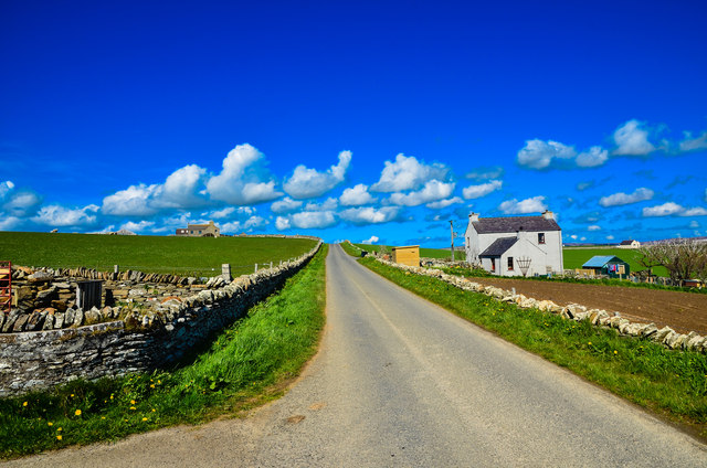
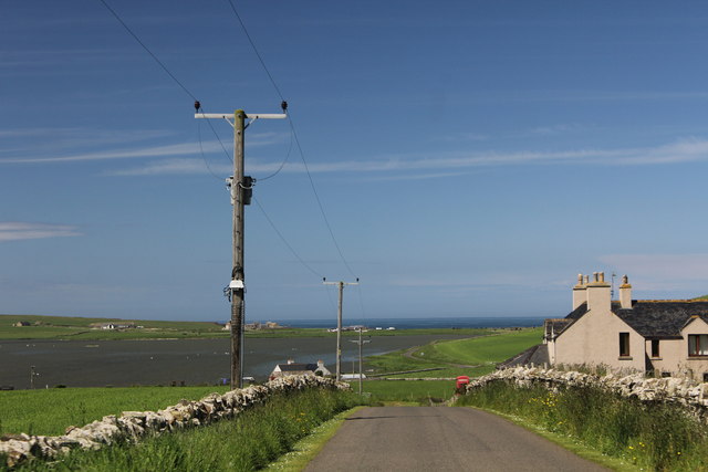
Mill Dam of Rango is a picturesque freshwater marsh located in the rural village of Rango, Orkney. It serves as a lake, pool, pond, and freshwater marsh, making it a unique and diverse ecosystem. The dam was constructed in the early 19th century to provide water for the nearby mill, hence its name.

Covering an area of approximately 2 acres, Mill Dam of Rango is nestled amidst rolling green fields and surrounded by a dense thicket of reeds and grasses. The water in the dam is sourced from a small stream that flows through the area, ensuring a constant supply of freshwater.

The dam is home to a wide variety of aquatic plant species, including water lilies, reed mace, and various types of pondweed. These plants provide an ideal habitat for numerous species of birds, such as ducks, swans, and herons, who rely on the dam for food and shelter.

The water of Mill Dam of Rango is teeming with life, with an abundance of fish species, including perch, pike, and roach. These fish attract anglers from near and far, who enjoy the tranquil surroundings while trying their luck at catching a prized specimen.

The dam also plays a crucial role in flood prevention, as it acts as a natural reservoir, collecting excess rainwater during periods of heavy rainfall. This helps to regulate the water levels in the surrounding area, preventing flooding and preserving the delicate balance of the ecosystem.

Mill Dam of Rango is a cherished natural feature of the Orkney landscape, attracting visitors who seek solace in its serene beauty and marvel at the rich biodiversity it supports.

If you have any feedback on the listing, please let us know in the comments section below.

Mill Dam of Rango Images

Images are sourced within 2km of 59.044231/-3.2894095 or Grid Reference HY2618. Thanks to Geograph Open Source API. All images are credited.

Sandwick: postbox № KW16 1, Vetquoy Road An Elizabeth II-reign postbox set into a rather shapely brick pillar at the crossroads of the A967 and B9057. It is emptied at 10:30 on weekday and Saturday mornings.
Sandwick: postbox № KW16 1, Vetquoy Road
An Elizabeth II-reign postbox set into a rather shapely brick pillar at the crossroads of the A967 and B9057. It is emptied at 10:30 on weekday and Saturday mornings.
Sandwick: telephone box on the B9055 This red phone box stands outside the house which, according to some older maps, was the location of Sandwick Post Office, now long gone. The Loch of Skaill is in the background.
Sandwick: telephone box on the B9055
This red phone box stands outside the house which, according to some older maps, was the location of Sandwick Post Office, now long gone. The Loch of Skaill is in the background.
Red Water Pump At the side of the Loch of Clumly, didn't test it to see if it still worked.
Red Water Pump
At the side of the Loch of Clumly, didn't test it to see if it still worked.
Loch Clumly By the A967 looking north west.
Loch Clumly
By the A967 looking north west.
Blooming Daffodils As far as you can see along the verge of the A967 looking south.
Blooming Daffodils
As far as you can see along the verge of the A967 looking south.
Feaval Small road leading off the A967.
Feaval
Small road leading off the A967.
A967 at Feaval View north towards Twatt.
A967 at Feaval
View north towards Twatt.
Sandwick View south along the A967.
Sandwick
View south along the A967.
Housnea Track to the farm leading off the A967.
Housnea
Track to the farm leading off the A967.
Crop Fields by Housnea At the side of the A967 with a view east.
Crop Fields by Housnea
At the side of the A967 with a view east.
Green Goddess on Orkney Unexpected find at Kierfiold House in Sandwick on Orkney by the B9057. Green Goddess is the colloquial name for the Bedford RLHZ Self Propelled Pump, a fire engine used originally by the Auxiliary Fire Service (AFS), and latterly by the British Armed Forces. These green-painted vehicles were built between 1953 and 1956 for the AFS. The design was based on a Bedford RL series British military truck. The registration of this example is RXP 824.
Green Goddess on Orkney
Unexpected find at Kierfiold House in Sandwick on Orkney by the B9057. Green Goddess is the colloquial name for the Bedford RLHZ Self Propelled Pump, a fire engine used originally by the Auxiliary Fire Service (AFS), and latterly by the British Armed Forces. These green-painted vehicles were built between 1953 and 1956 for the AFS. The design was based on a Bedford RL series British military truck. The registration of this example is RXP 824.
Kierfiold Cottage Right of picture by the B9057 looking north east.
Kierfiold Cottage
Right of picture by the B9057 looking north east.
View from Kierfiold House Looking south east to the Mill Dam of Rango.
View from Kierfiold House
Looking south east to the Mill Dam of Rango.
Evening light on B9055 at Hurkisgarth
B9055 Mount Pleasant Up to 1902, East Aith at the bottom of the hill is shown on the OS maps as having a post office. By 1973 the building on the right is marked on the OS maps as a post office at Mount Pleasant, ironically the same name of the London post office at the start of the 20th century reckoned to be 'probably the largest sorting office in the world'.
B9055 Mount Pleasant
Up to 1902, East Aith at the bottom of the hill is shown on the OS maps as having a post office. By 1973 the building on the right is marked on the OS maps as a post office at Mount Pleasant, ironically the same name of the London post office at the start of the 20th century reckoned to be 'probably the largest sorting office in the world'.
B9057 at Linday Farm, Orkney
Kier Fiold Straight up fence line from south and through gate.
Name: Kier Fiold
Hill number: 12239
Height: 59m / 194ft
Parent (Ma/M): 1555  Milldoe - Mid Tooin
Area:23: Orkney Islands
Class: 0
Grid ref: HY246185 (est)
Drop: 39m
Col: 20m  HY251184
Kier Fiold
Straight up fence line from south and through gate. Name: Kier Fiold Hill number: 12239 Height: 59m / 194ft Parent (Ma/M): 1555 Milldoe - Mid Tooin Area:23: Orkney Islands Class: 0 Grid ref: HY246185 (est) Drop: 39m Col: 20m HY251184
Road to Appiehouse gallery Follow this track (and the road surface gets worse!) for half a mile up the hill and you reach the gallery and tea room.
Road to Appiehouse gallery
Follow this track (and the road surface gets worse!) for half a mile up the hill and you reach the gallery and tea room.
Show me another place!

Mill Dam of Rango is located at Grid Ref: HY2618 (Lat: 59.044231, Lng: -3.2894095)

Unitary Authority: Orkney Islands

Police Authority: Highlands and Islands

What 3 Words

///frame.brilliant.anchors. Near Sandwick, Orkney Islands

Related Wikis

Sandwick, Orkney

Sandwick (Old Norse: SandvĂ­k; Norn: Sandvik) is a parish on the west coast of Mainland, Orkney, Scotland, 4 miles (6.4 km) north of Stromness. The parish...

Loch of Skaill

The Loch of Skaill is a small somewhat triangular, freshwater loch in the parish of Sandwick, Orkney on Mainland Orkney, Scotland. It lies 0.5 mi (0.80...
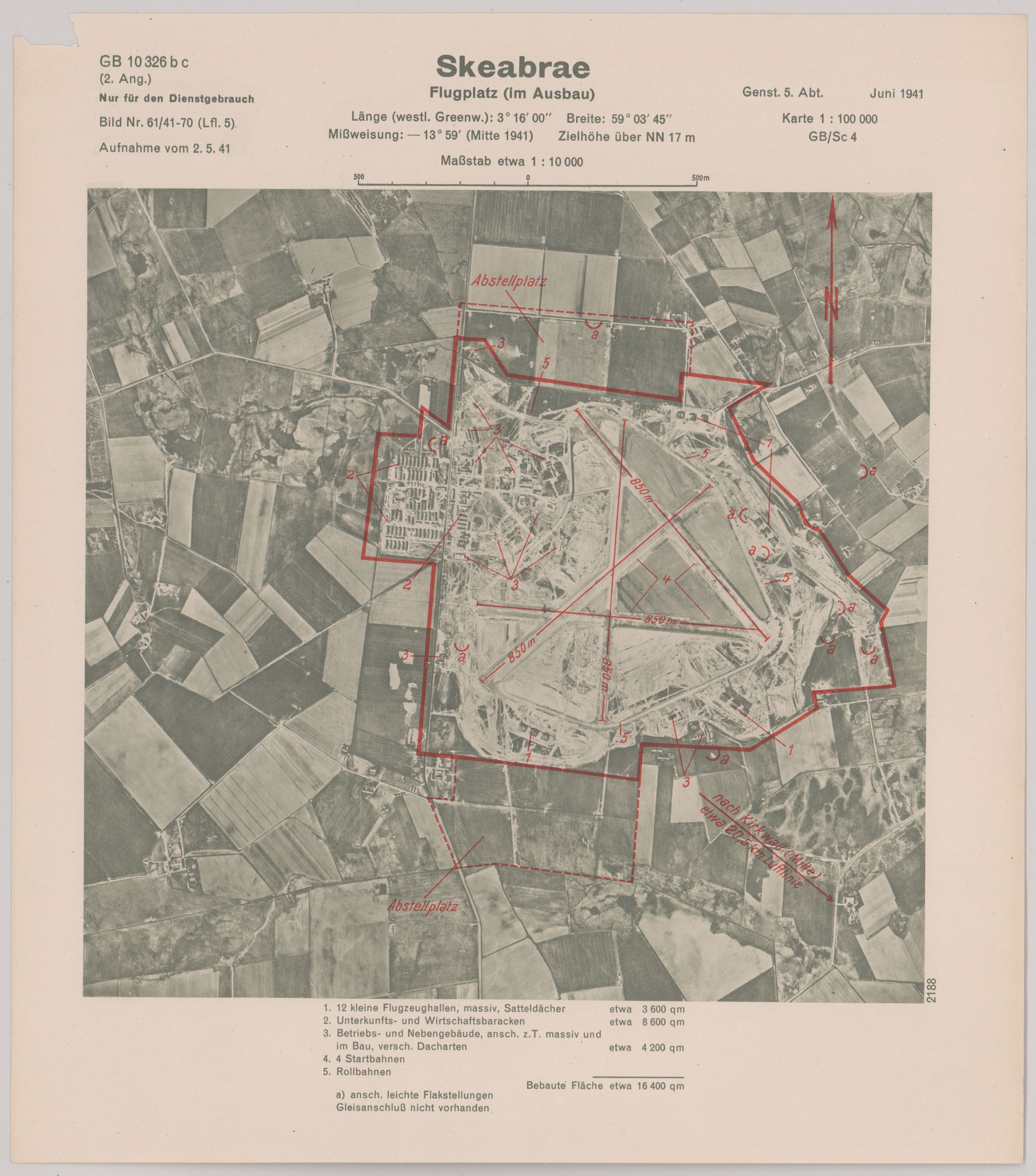
RAF Skeabrae

Royal Air Force Skeabrae, or more simply RAF Skeabrae, is a former Royal Air Force station located in Orkney, Mainland, United Kingdom. == History == The...

Skaill House

Skaill House is a historic manor house in Sandwick parish on Mainland, the largest of the Orkney Islands, Scotland. The house overlooks the neolithic site...

Nearby Amenities

Located within 500m of 59.044231,-3.2894095
Addr City: Hestwall, Orkney
Man Made: watermill
Lat/Long: 59.0441102/-3.2819933
Barrow (Prehistoric)
Historic: archaeological_site
Lat/Long: 59.041884/-3.2845236
Tumuli (sites of)
Historic: archaeological_site
Lat/Long: 59.0415526/-3.2824037
Power: pole
Lat/Long: 59.0432778/-3.2833916
Power: pole
Lat/Long: 59.0426533/-3.2834219
Power: pole
Lat/Long: 59.042011/-3.2834583
Power: pole
Lat/Long: 59.0413688/-3.2834887
The data included in this document is from www.openstreetmap.org. The data is made available under ODbL.

Have you been to Mill Dam of Rango?

Leave your review of Mill Dam of Rango below (or comments, questions and feedback).