Carlside Tarn
Lake, Pool, Pond, Freshwater Marsh in Cumberland Allerdale
England
Carlside Tarn

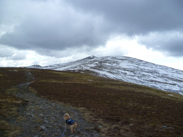
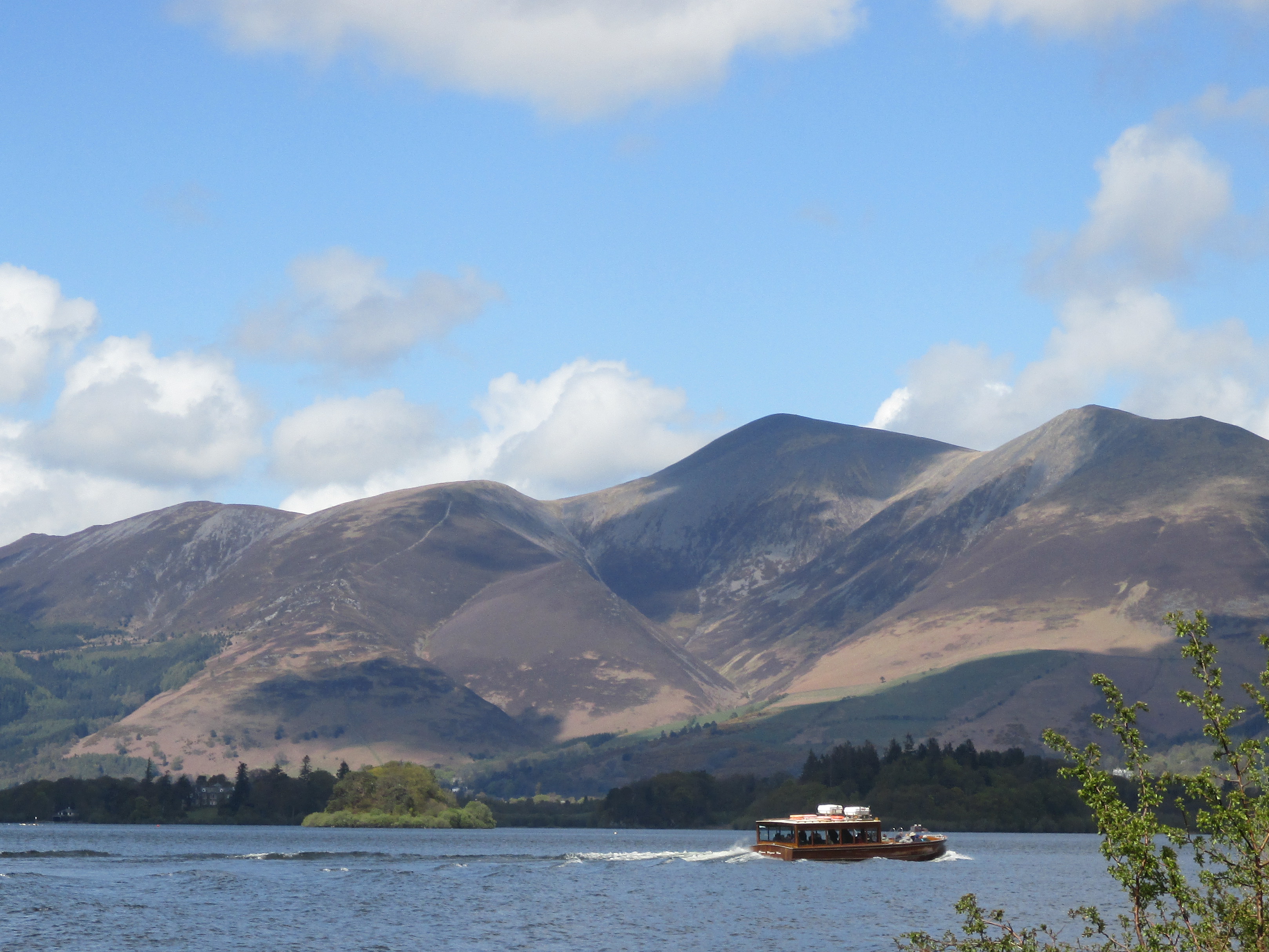
Carlside Tarn, located in Cumberland, England, is a picturesque freshwater lake nestled in the scenic landscape of the Lake District National Park. Spanning an area of approximately 3 acres, the tarn is a popular destination for outdoor enthusiasts and nature lovers alike.
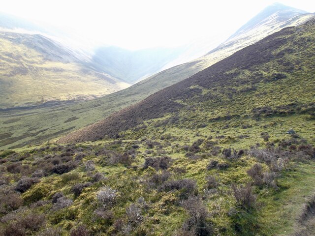
Surrounded by rolling hills and dense woodlands, Carlside Tarn offers a tranquil and serene atmosphere. The lake's crystal-clear waters reflect the stunning natural surroundings, creating a captivating sight. The tarn's depth varies, with the deepest point reaching around 15 feet. The water is predominantly sourced from rainfall and small streams that trickle down from the surrounding hills.
The lake is home to a diverse range of aquatic flora and fauna. Its rich biodiversity includes species such as water lilies, reeds, and various types of freshwater fish. Birdwatchers can often spot a variety of waterfowl, including ducks and swans, gliding gracefully across the water's surface.
Carlside Tarn is a haven for outdoor activities such as fishing and boating. Anglers can try their luck at catching trout, which thrive in the lake's clean and well-oxygenated waters. Visitors can also explore the tarn by kayak or canoe, allowing them to fully immerse themselves in the natural beauty of the surroundings.
Accessible via a well-maintained footpath, Carlside Tarn offers a peaceful retreat for those seeking solace in nature. Its idyllic setting and diverse ecosystem make it a must-visit destination for anyone looking to experience the beauty of Cumberland's freshwater marshes.
If you have any feedback on the listing, please let us know in the comments section below.
Carlside Tarn Images
Images are sourced within 2km of 54.643633/-3.1545711 or Grid Reference NY2528. Thanks to Geograph Open Source API. All images are credited.


Carlside Tarn is located at Grid Ref: NY2528 (Lat: 54.643633, Lng: -3.1545711)
Administrative County: Cumbria
District: Allerdale
Police Authority: Cumbria
What 3 Words
///reform.choppers.juggles. Near Keswick, Cumbria
Nearby Locations
Related Wikis

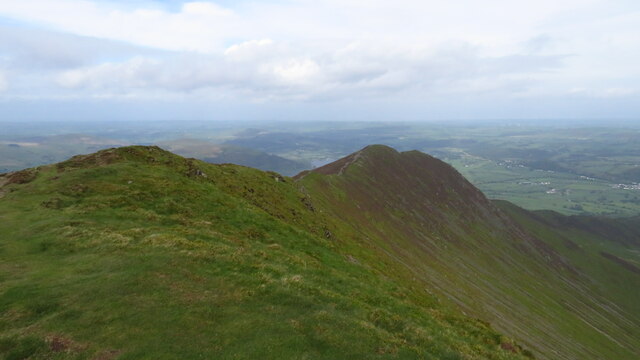
Carl Side
Carl Side is a fell in the English Lake District, forming a part of the Skiddaw "family" near the town of Keswick and prominently visible from its streets...
Skiddaw
Skiddaw is a mountain in the Lake District National Park in England. Its 931-metre (3,054 ft) summit is the sixth-highest in England. It lies just north...

Long Side
Long Side is a fell in the English Lake District, it is situated six kilometres north west of Keswick in the northern sector of the national park and is...

Skiddaw Little Man
Skiddaw Little Man also called Little Man is a fell in the English Lake District, it is situated four kilometres north of the town of Keswick and reaches...
Nearby Amenities
Located within 500m of 54.643633,-3.1545711Have you been to Carlside Tarn?
Leave your review of Carlside Tarn below (or comments, questions and feedback).