Manse Pool

Lake, Pool, Pond, Freshwater Marsh in Dumfriesshire

Scotland

Manse Pool

Cote and Crurie on the B709 Looking across the valley of the White Esk to the oddly named group of buildings, with forestry on Cote Hill beyond.
Cote and Crurie on the B709 Credit: M J Richardson

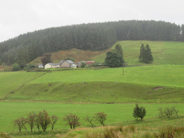
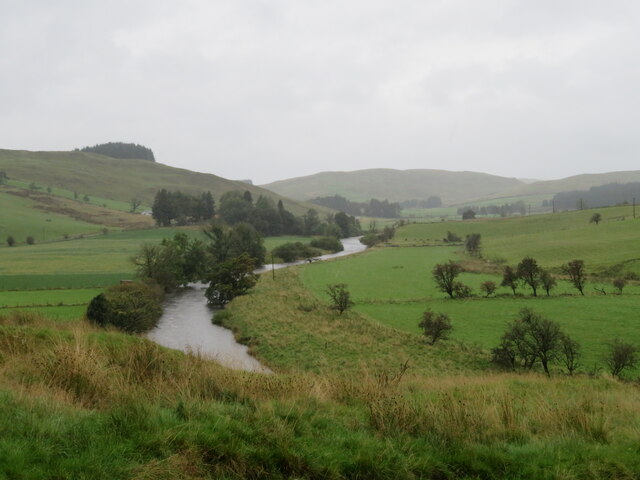
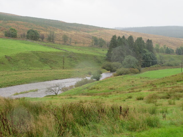
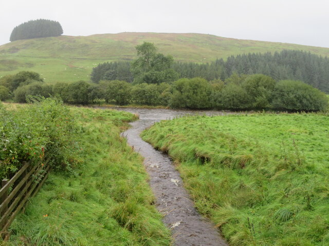
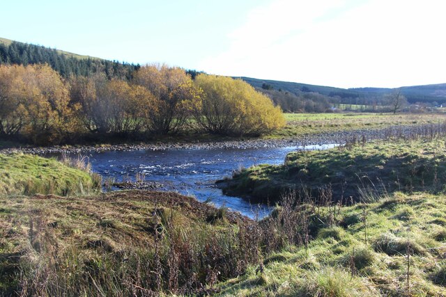
Manse Pool is a picturesque freshwater marsh located in Dumfriesshire, Scotland. Situated in the heart of the countryside, this serene waterbody covers an area of approximately 5 acres. It is surrounded by lush greenery and provides a haven for a diverse range of flora and fauna.

The pool itself is relatively shallow, with an average depth of around 2 meters. It is fed by several small streams that meander through the surrounding marshland, which is composed of peat and clay soils. The water is clear and teeming with life, supporting a variety of aquatic plants such as water lilies, reeds, and rushes.

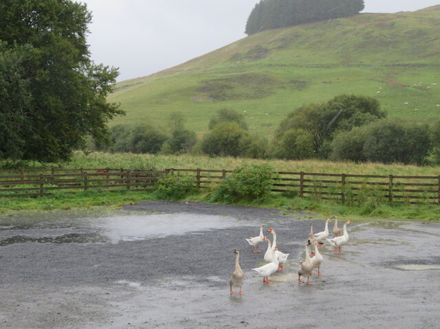
Manse Pool is home to a wealth of wildlife. Birdwatchers are particularly drawn to this area due to the presence of numerous species, including waterfowl such as mallards, tufted ducks, and coots. The surrounding marshland provides an ideal habitat for wading birds such as herons and snipes. Otters can also occasionally be spotted gliding through the water or foraging along the banks.

The pool is a popular spot for fishing enthusiasts, who frequent its shores in search of trout and pike. Its tranquil setting and abundant fish population make it an ideal location for both recreational and competitive angling.

Manse Pool is an idyllic destination for nature lovers and outdoor enthusiasts alike. Its unspoiled beauty and rich biodiversity make it a must-visit location for those seeking a peaceful retreat in Dumfriesshire.

If you have any feedback on the listing, please let us know in the comments section below.
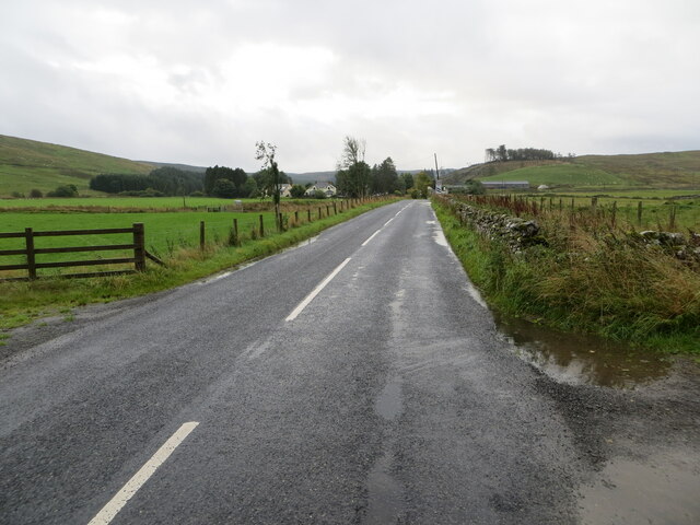
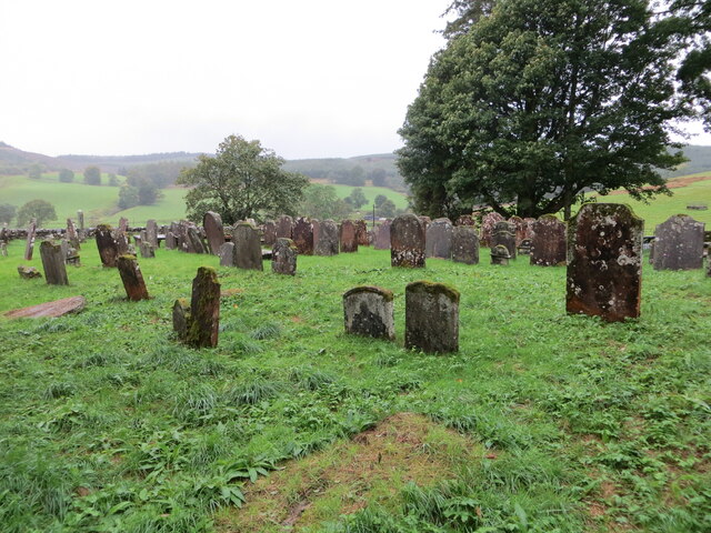
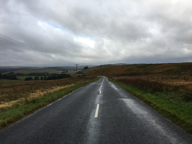
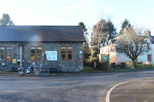
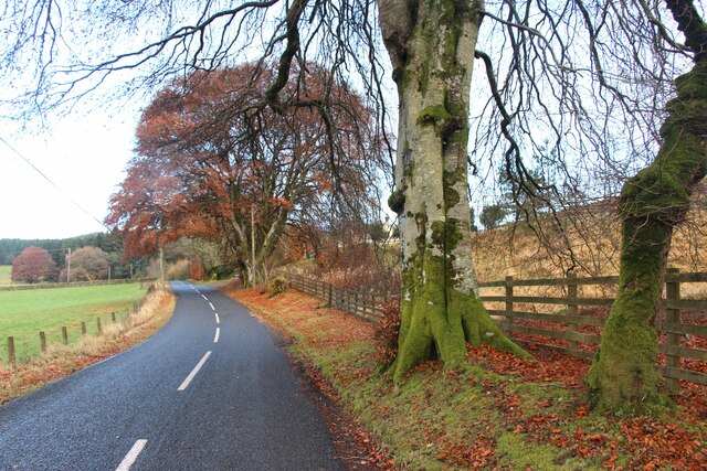
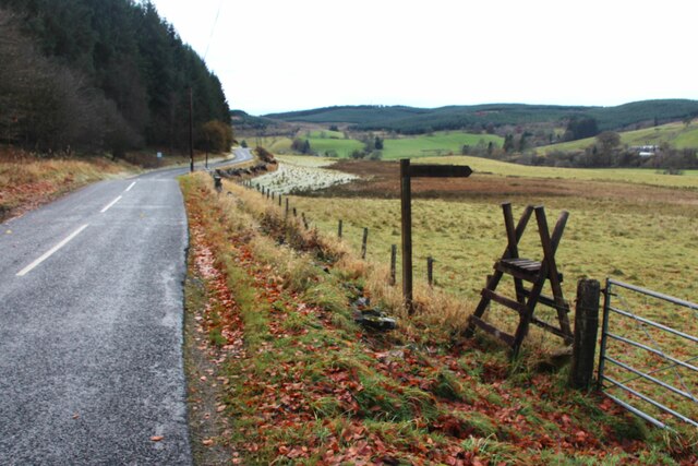
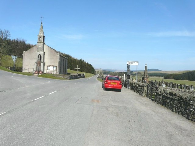
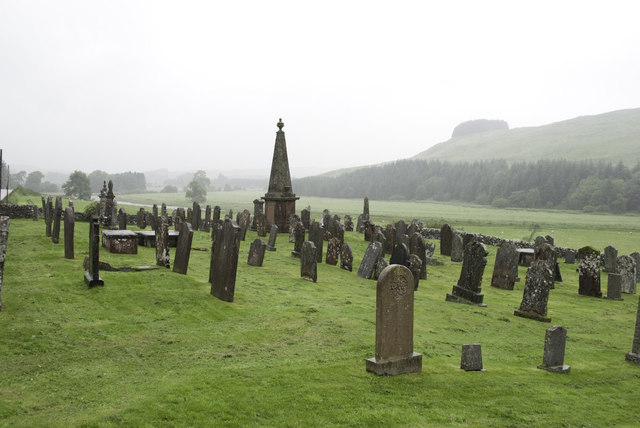
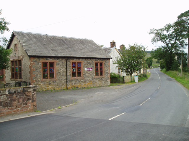
Manse Pool Images

Images are sourced within 2km of 55.263283/-3.1727297 or Grid Reference NY2597. Thanks to Geograph Open Source API. All images are credited.

Cote and Crurie on the B709 Looking across the valley of the White Esk to the oddly named group of buildings, with forestry on Cote Hill beyond.
Cote and Crurie on the B709
Looking across the valley of the White Esk to the oddly named group of buildings, with forestry on Cote Hill beyond.
The White Esk at Hillfoot Looking up the wide valley of the White Esk.
The White Esk at Hillfoot
Looking up the wide valley of the White Esk.
The White Esk at Hillfoot Looking downstream towards Mill Knowe, with cleared and replanted forestry beyond.
The White Esk at Hillfoot
Looking downstream towards Mill Knowe, with cleared and replanted forestry beyond.
The Old School Cafe Bistro & Eskdalemuir Community Hub A long name well suited to this facility and all it does in the old primary school at Eskdalemuir - community centre, gallery, cafe and bistro, playground etc. An excellent place to stop for good food in comfortable surroundings on a wet day. For earlier pictures see <a href="https://www.geograph.org.uk/photo/6162240">NY2598 : Old School Café and Community Hub, Eskdalemuir</a>-2019, <a href="https://www.geograph.org.uk/photo/5561629">NY2598 : Old School Café Bistro and Eskdalemuir Community Hub</a> - 2017, and <a href="https://www.geograph.org.uk/photo/207990">NY2598 : Eskdalemuir</a> - 2006, when it was still a primary school.
The Old School Cafe Bistro & Eskdalemuir Community Hub
A long name well suited to this facility and all it does in the old primary school at Eskdalemuir - community centre, gallery, cafe and bistro, playground etc. An excellent place to stop for good food in comfortable surroundings on a wet day. For earlier pictures see NY2598 : Old School Café and Community Hub, Eskdalemuir-2019, NY2598 : Old School Café Bistro and Eskdalemuir Community Hub - 2017, and NY2598 : Eskdalemuir - 2006, when it was still a primary school.
The Tapestry at Eskdalemuir Cafe & Bistro The result of a project by 25 members of the community,  which began on the opening of the Community Hub in September 2014 - on display in the cafe; see <a href="https://www.geograph.org.uk/photo/6982599">NY2598 : Eskdalemuir Tapestry information</a>.
The Tapestry at Eskdalemuir Cafe & Bistro
The result of a project by 25 members of the community, which began on the opening of the Community Hub in September 2014 - on display in the cafe; see NY2598 : Eskdalemuir Tapestry information.
Eskdalemuir Tapestry information Details of the tapestry displayed in the cafe of the Community Hub <a href="https://www.geograph.org.uk/photo/6982590">NY2598 : The Tapestry at Eskdalemuir Cafe & Bistro</a>.
Eskdalemuir Tapestry information
Details of the tapestry displayed in the cafe of the Community Hub NY2598 : The Tapestry at Eskdalemuir Cafe & Bistro.
Eskdalemuir Community Hub Picnic and play area, and solar panels.
Eskdalemuir Community Hub
Picnic and play area, and solar panels.
Holm Burn in Eskdalemuir Running into the White Esk by the Community Hub.
Holm Burn in Eskdalemuir
Running into the White Esk by the Community Hub.
Guardians of the car park at Eskdale Community Hub And very vocal and active they were too. The course of the White Esk is marked by the line of trees and bushes.
Guardians of the car park at Eskdale Community Hub
And very vocal and active they were too. The course of the White Esk is marked by the line of trees and bushes.
Road (B709) approaching Craighaugh, Eskdalemuir Looking south-eastward.
Road (B709) approaching Craighaugh, Eskdalemuir
Looking south-eastward.
Part of the cemetery near Homestead Moat, Eskdalemuir Looking south-westward.
Part of the cemetery near Homestead Moat, Eskdalemuir
Looking south-westward.
B723 towards Eskdalemuir
The White Esk river
The White Esk river
Restaurant in Eskdalemuir
B709 road at Hart Manor
Signpost to Loupin Stanes stone circle
Eskdalemuir parish church My car is seen here parked beside the signpost indicating that Lockerbie is 14 miles distant along the B723. Not only was it splendid sunny day but it was exceptionally warm for late March.
Eskdalemuir parish church
My car is seen here parked beside the signpost indicating that Lockerbie is 14 miles distant along the B723. Not only was it splendid sunny day but it was exceptionally warm for late March.
Eskdalemuir Graveyard
Show me another place!

Manse Pool is located at Grid Ref: NY2597 (Lat: 55.263283, Lng: -3.1727297)

Unitary Authority: Dumfries and Galloway

Police Authority: Dumfries and Galloway

What 3 Words

///garages.oblige.drifters. Near Bentpath, Dumfries & Galloway

Related Wikis

Loupin Stanes

The Loupin Stanes (grid reference NY25709663) is a stone circle near Eskdalemuir, Dumfries and Galloway. Oval in shape, it consists of twelve stones set...

Eskdalemuir

Eskdalemuir is a civil parish and small village in Dumfries and Galloway, Scotland, with a population of 265. It is around 10 miles (16 km) north-west...

Holm, Inverness

Holm is a small residential area in the south of the city of Inverness, Scotland. The area lies east of the River Ness. The most prominent structure in...

Girdle Stanes

The Girdle Stanes (grid reference NY 25351 96153) is a stone circle near Eskdalemuir, Dumfries and Galloway. The western portion of the circle has been...

Kagyu Samye Ling Monastery and Tibetan Centre

Kagyu Samye Ling Monastery and Tibetan Centre is a Tibetan Buddhist complex associated with the Karma Kagyu school located at Eskdalemuir, Scotland....

Castle O'er Forest

Castle O'er Forest is a forest south of Eskdalemuir, Dumfries and Galloway, in southern Scotland.It is bisected by the River Esk. Eskdalemuir Forest adjoins...

Eskdalemuir Forest

Eskdalemuir Forest is a forest north of Eskdalemuir, Dumfries and Galloway, in southern Scotland. It was created as a private enterprise by the Economic...

Eskdalemuir Observatory

The Eskdalemuir Observatory is a UK national environmental observatory located near Eskdalemuir, Dumfries and Galloway, Scotland. Along with Lerwick and...

Related Videos

You WON'T BELIEVE This Place is in The UK! - Travel Ideas in the Scottish Borders

In the Scottish borders, you can find the oldest living Buddhist monastery established in the western world - Kagyu Sayme Ling ...

Samye Ling Visit

Around 2 miles outside Eskadalemuir is a rather lovely Temple set in beautiful grounds. Well worth a visit. #explorescotland ...

Samyeling

2nd April 2023 A day out at the tibetan monastry in Eskdalemuir.

Nearby Amenities

Located within 500m of 55.263283,-3.1727297
Power: pole
Lat/Long: 55.2669359/-3.176913
Power: pole
Lat/Long: 55.2664942/-3.1760976
Power: pole
Lat/Long: 55.2660098/-3.1751937
Power: pole
Lat/Long: 55.2655146/-3.1742549
Power: pole
Lat/Long: 55.2648651/-3.1730747
Power: pole
Lat/Long: 55.2644571/-3.1723022
Power: pole
Lat/Long: 55.2640643/-3.1715378
Power: pole
Lat/Long: 55.26343/-3.1717148
Power: pole
Lat/Long: 55.262805/-3.1718677
Power: pole
Lat/Long: 55.2596213/-3.1699231
Power: pole
Lat/Long: 55.2599713/-3.1712347
Power: pole
Lat/Long: 55.2619949/-3.1721091
Power: pole
Lat/Long: 55.2611543/-3.1723613
Power: pole
Lat/Long: 55.2603274/-3.1725678
Power: pole
Lat/Long: 55.2596396/-3.1727904
Power: pole
Lat/Long: 55.2589441/-3.1729513
The data included in this document is from www.openstreetmap.org. The data is made available under ODbL.

Have you been to Manse Pool?

Leave your review of Manse Pool below (or comments, questions and feedback).