The Swamp
Lake, Pool, Pond, Freshwater Marsh in Brecknockshire
Wales
The Swamp
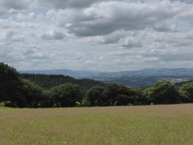
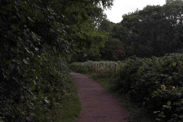
The Swamp in Brecknockshire is a picturesque freshwater marsh located in the heart of the Brecon Beacons National Park in Wales. Spanning across a vast expanse of approximately 50 acres, this idyllic wetland area is a haven for a diverse array of wildlife and plant species.
The Swamp is primarily fed by rainfall and natural springs, creating a thriving ecosystem that supports an abundance of aquatic life. The crystal-clear waters of the marsh are home to numerous species of fish, including trout and perch, attracting anglers from far and wide. Additionally, the nutrient-rich soil surrounding the swamp fosters the growth of various aquatic plants like water lilies and reeds, providing shelter and sustenance for a wide range of bird species.
Visitors to The Swamp can explore the area through a network of well-maintained footpaths and boardwalks, offering an opportunity to observe the rich biodiversity up close. Birdwatchers will be delighted by the presence of rare and migratory species such as herons, kingfishers, and teal, which can often be spotted in the reed beds or soaring above the marsh.
The Swamp also serves as an important habitat for amphibians, including frogs, toads, and newts, which find shelter in the surrounding woodlands and damp grassy areas. This unique wetland ecosystem contributes to the overall ecological balance of the region, acting as a natural filter for water and mitigating flooding in the surrounding areas.
With its stunning natural beauty and abundant wildlife, The Swamp in Brecknockshire offers a captivating experience for nature enthusiasts, photographers, and those seeking a tranquil retreat in the heart of the Welsh countryside.
If you have any feedback on the listing, please let us know in the comments section below.
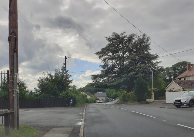
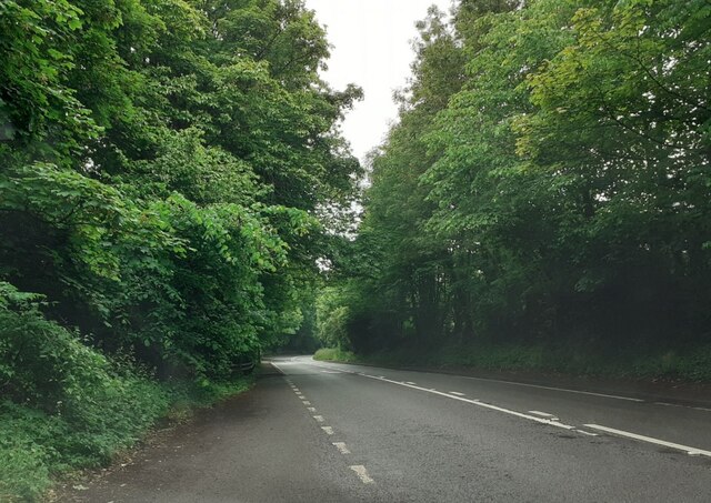
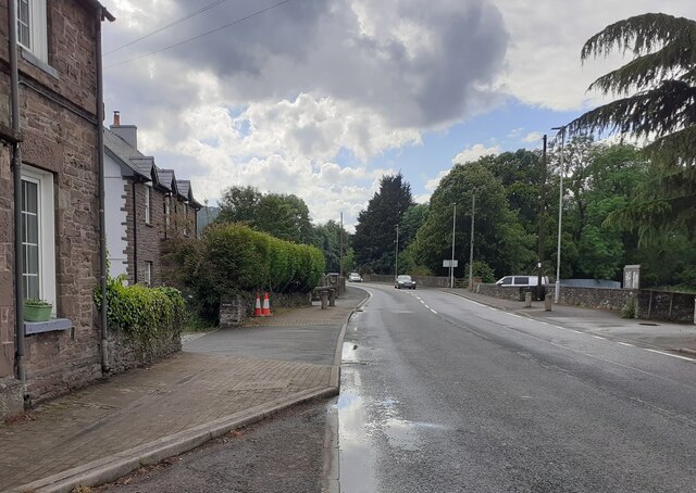
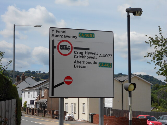
The Swamp Images
Images are sourced within 2km of 51.833161/-3.0882246 or Grid Reference SO2515. Thanks to Geograph Open Source API. All images are credited.

The Swamp is located at Grid Ref: SO2515 (Lat: 51.833161, Lng: -3.0882246)
Unitary Authority: Monmouthshire
Police Authority: Gwent
What 3 Words
///hills.reviewed.botanists. Near Gilwern, Monmouthshire
Nearby Locations
Related Wikis

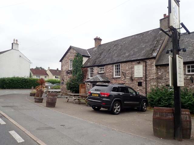
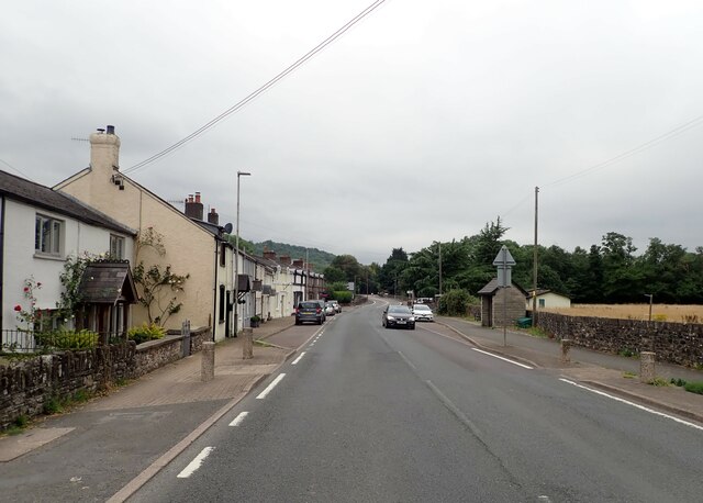
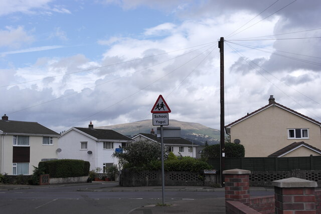
Gilwern
Gilwern is a village within the Brecon Beacons National Park in Monmouthshire, Wales. Historically in Brecknockshire, it extends to either side of the...

Grwyne Fawr
The Grwyne Fawr is a river in the Brecon Beacons National Park in south Wales. A section of it forms the administrative border between Powys and Monmouthshire...

Y Graig
Y Graig, three miles west of Abergavenny, is the site of an abandoned settlement, known to have been occupied in the 18th and 19th centuries. It is a scheduled...
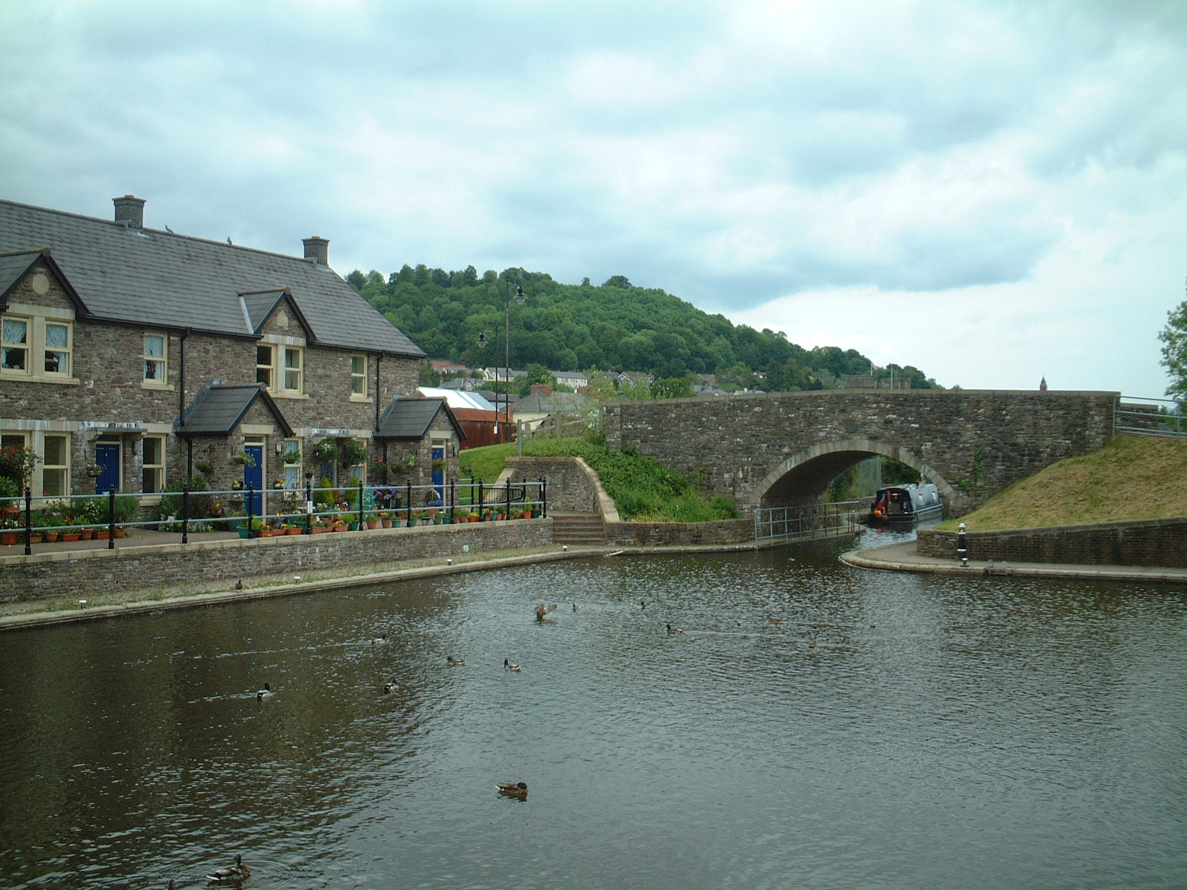
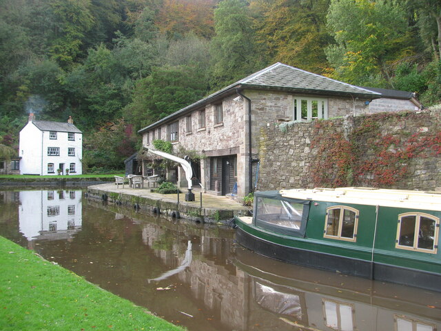
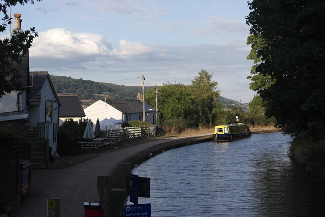
Monmouthshire and Brecon Canal
The Monmouthshire and Brecon Canal (Welsh: Camlas Sir Fynwy a Brycheiniog) is a small network of canals in South Wales. For most of its currently (2018...
Glangrwyney
Glangrwyney or Glangrwyne is a village 2 miles (3.2 km) southeast of Crickhowell in Powys, Wales. The village is where the Grwyne Fawr has its confluence...

Llanwenarth House
Llanwenarth House is a small country house, formerly a hotel, located off the B4246 road, west of Govilon and Llanfoist, just south of Abergavenny in the...

Gilwern Halt railway station
Gilwern Halt railway station was a station on the London and North Western Railway's Heads of the Valleys line near the village of Gilwern in the Welsh...

St Elli's Church, Llanelly
The Church of St Elli, Llanelly, Monmouthshire, Wales, is a parish church with its origins in the 14th century. The church underwent three major restorations...
Nearby Amenities
Located within 500m of 51.833161,-3.0882246Have you been to The Swamp?
Leave your review of The Swamp below (or comments, questions and feedback).