Dyffryn-mawr

Settlement in Brecknockshire

Wales

Dyffryn-mawr

Keith Price Garages, Llanwenarth on the A40, looking west
Keith Price Garages, Llanwenarth on the A40, looking west Credit: Rob Purvis

Dyffryn-mawr is a small village located in the county of Brecknockshire, Wales. Situated in the scenic Brecon Beacons National Park, it is surrounded by breathtaking natural beauty and offers a tranquil and peaceful setting for its residents and visitors alike.

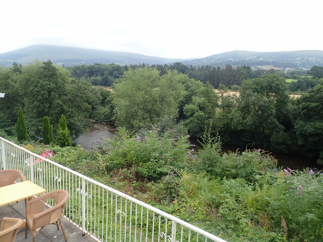
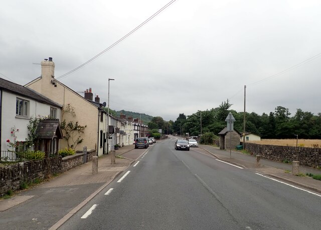
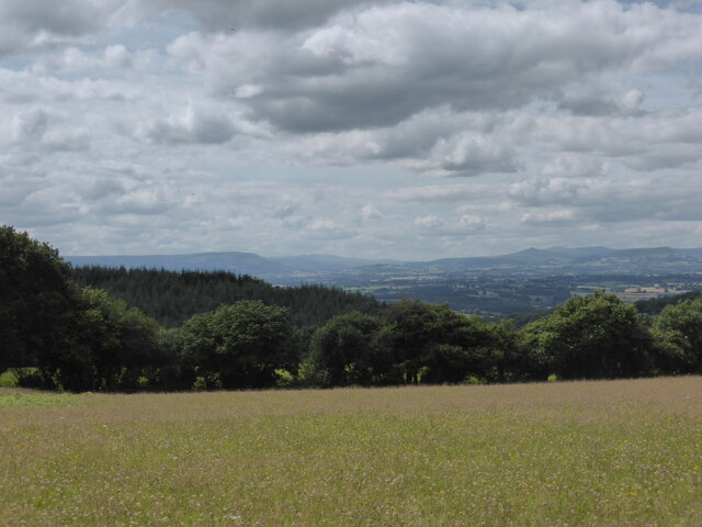
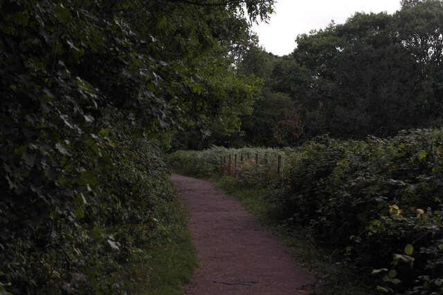
The village is nestled in a picturesque valley, with rolling hills and lush green meadows that stretch as far as the eye can see. Dyffryn-mawr is characterized by its charming stone houses and historic buildings, which give it a distinct and timeless charm.

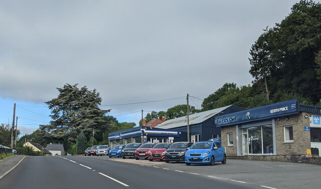
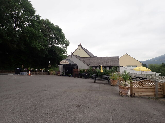
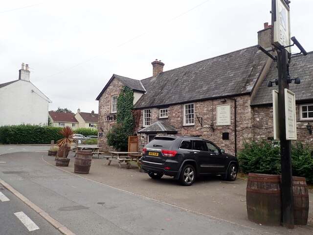
The community in Dyffryn-mawr is close-knit and friendly, with a population of approximately 500 people. The village boasts a range of amenities, including a local pub, a post office, and a primary school, ensuring that residents have everything they need within easy reach.

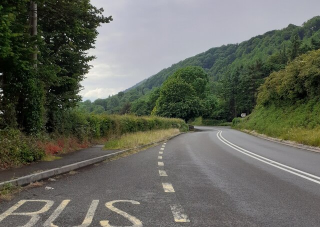
For outdoor enthusiasts, Dyffryn-mawr offers an abundance of activities to enjoy. The surrounding countryside is a paradise for hikers, with numerous trails and paths that lead to breathtaking viewpoints and hidden gems. The nearby Brecon Beacons also provide opportunities for mountain biking, horseback riding, and camping.

Moreover, Dyffryn-mawr is within close proximity to some of Wales' most popular attractions. The town of Brecon, with its historic cathedral and bustling market, is just a short drive away. Additionally, the renowned Brecon Beacons Mountain Centre and Pen y Fan, the highest peak in South Wales, are easily accessible from the village.

In summary, Dyffryn-mawr in Brecknockshire is a charming village that offers a tranquil lifestyle, surrounded by stunning natural landscapes. Its friendly community and proximity to both local amenities and popular tourist destinations make it an ideal place to visit or settle down.

If you have any feedback on the listing, please let us know in the comments section below.
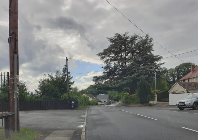
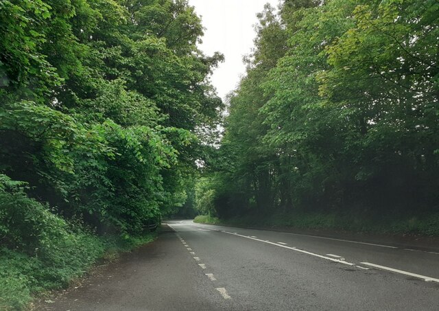
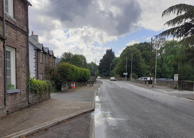
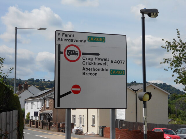
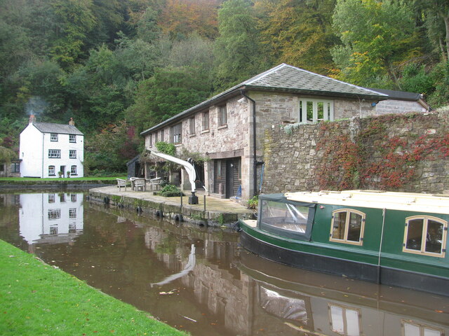
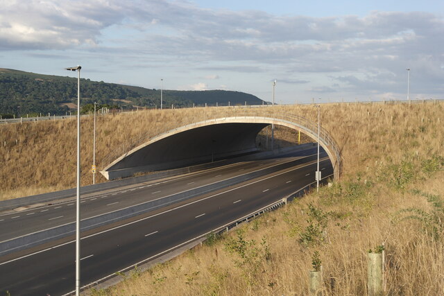
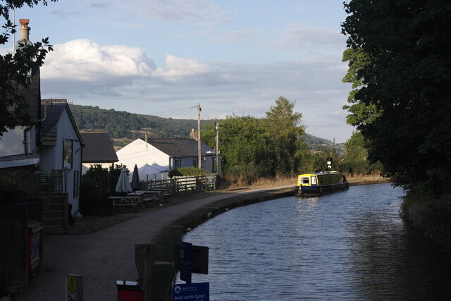
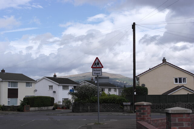
Dyffryn-mawr Images

Images are sourced within 2km of 51.835817/-3.088341 or Grid Reference SO2515. Thanks to Geograph Open Source API. All images are credited.

Keith Price Garages, Llanwenarth on the A40, looking west
Entering Glangrwyney on the A40, heading west
The Bell Inn at Glangrwyney
River Usk Taken from the patio of Llanwenarth Hotel
River Usk
Taken from the patio of Llanwenarth Hotel
Llanwenarth Hotel Overlooking the River Usk
Llanwenarth Hotel
Overlooking the River Usk
The Bell Country Pub, Glangrwyney Beside the A40. A country pub with accommodation.
The Bell Country Pub, Glangrwyney
Beside the A40. A country pub with accommodation.
The A40 through Glangrwyney
Usk valley panorama Looking into Wales from a wildflower meadow west of the Wye valley

Blorenge - Brecon Beacons - Usk valley - Sugar Loaf - Black Mountains
Usk valley panorama
Looking into Wales from a wildflower meadow west of the Wye valley Blorenge - Brecon Beacons - Usk valley - Sugar Loaf - Black Mountains
A40 westbound at Pyscodlyn
A40 north of Gilwern
A40 east of Glangrwyney
A40 in Glangrwyney village
ADS Sign in the centre of Gilwern This Advance direction sign lies on Abergavenny Road, the A4077, coming into "the Beaufort" Junction in the heart of the Village.

Continuing ahead takes the driver along Main Rd and eventually onto the A465 Heads of the Valleys road, taking them east towards Abergavenny or optionally onto the Glanbaiden Roundabout to turn west towards Merthyr Tydfil. Taking a right turn leads them to continue onto the A4077 towards Crickhowell and eventually joins the A40 west towards Brecon and Mid-Wales.

This sign was installed in early 2022 after the A465 reconstruction and the sign needed to be updated after the onwards road was restricted to east travel towards Abergavenny.
ADS Sign in the centre of Gilwern
This Advance direction sign lies on Abergavenny Road, the A4077, coming into "the Beaufort" Junction in the heart of the Village. Continuing ahead takes the driver along Main Rd and eventually onto the A465 Heads of the Valleys road, taking them east towards Abergavenny or optionally onto the Glanbaiden Roundabout to turn west towards Merthyr Tydfil. Taking a right turn leads them to continue onto the A4077 towards Crickhowell and eventually joins the A40 west towards Brecon and Mid-Wales. This sign was installed in early 2022 after the A465 reconstruction and the sign needed to be updated after the onwards road was restricted to east travel towards Abergavenny.
Canal at Gilwern Section of Monmouthshire and Brecon Canal has to find a way across the River Clydach
Canal at Gilwern
Section of Monmouthshire and Brecon Canal has to find a way across the River Clydach
Station Road Concrete Arch, Gilwern Concrete Overbridge opened in 2018 as a connection between the Old Station Road and the rest of the village of Gilwern passing over the Heads of the Valleys road. It was constructed during the A465 Section 2 project between Gilwern and Brynmawr.
 
The bridge is believed to be the widest spanning of its kind in the world, with  70 pre-cast units each weighing 28 tonnes and a total length of 52.84 metres. It spans 29.2 metres.
Station Road Concrete Arch, Gilwern
Concrete Overbridge opened in 2018 as a connection between the Old Station Road and the rest of the village of Gilwern passing over the Heads of the Valleys road. It was constructed during the A465 Section 2 project between Gilwern and Brynmawr. The bridge is believed to be the widest spanning of its kind in the world, with 70 pre-cast units each weighing 28 tonnes and a total length of 52.84 metres. It spans 29.2 metres.
Monmouthshire and Brecon Canal, Gilwern Taken from Bridge 103 over the Monmouthshire and Brecon Canal. Shows the Towpath inn on the left of the image.
Monmouthshire and Brecon Canal, Gilwern
Taken from Bridge 103 over the Monmouthshire and Brecon Canal. Shows the Towpath inn on the left of the image.
Cae Meldon Crossroads Crossroads at the bottom of the village of Gilwern just around the corner from the local primary school. The mountain Pen Cerrig-calch can be seen in the background.
Cae Meldon Crossroads
Crossroads at the bottom of the village of Gilwern just around the corner from the local primary school. The mountain Pen Cerrig-calch can be seen in the background.
Cae Meldon Footpath Footpath on the South side of Cae Meldon at the bottom of the village of Gilwern. The footpath was erected after housing development in Ty Mawr, and numerous village residents complained of the narrow road between the primary school and the new houses.
Cae Meldon Footpath
Footpath on the South side of Cae Meldon at the bottom of the village of Gilwern. The footpath was erected after housing development in Ty Mawr, and numerous village residents complained of the narrow road between the primary school and the new houses.
Show me another place!

Dyffryn-mawr is located at Grid Ref: SO2515 (Lat: 51.835817, Lng: -3.088341)

Unitary Authority: Monmouthshire

Police Authority: Gwent

What 3 Words

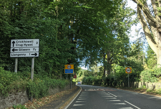
///plugged.intrigued.wedding. Near Gilwern, Monmouthshire

Related Wikis

Y Graig

Y Graig, three miles west of Abergavenny, is the site of an abandoned settlement, known to have been occupied in the 18th and 19th centuries. It is a scheduled...

Gilwern

Gilwern is a village within the Brecon Beacons National Park in Monmouthshire, Wales. Historically in Brecknockshire, it extends to either side of the...

Grwyne Fawr

The Grwyne Fawr is a river in the Brecon Beacons National Park in south Wales. A section of it forms the administrative border between Powys and Monmouthshire...

Glangrwyney

Glangrwyney or Glangrwyne is a village 2 miles (3.2 km) southeast of Crickhowell in Powys, Wales. The village is where the Grwyne Fawr has its confluence...

Nearby Amenities

Located within 500m of 51.835817,-3.088341
Keith Price
Shop: car
Source: survey
Lat/Long: 51.8381402/-3.0831142
Power: pole
Lat/Long: 51.8403053/-3.0878768
Power: pole
Lat/Long: 51.839274/-3.0838305
Power: pole
Lat/Long: 51.8395886/-3.0850414
Direction: S
Generator Method: photovoltaic
Generator Output Electricity: yes
Generator Solar Modules: 13
Generator Source: solar
Generator Type: solar_photovoltaic_panel
Location: roof
Power: generator
Lat/Long: 51.8321137/-3.0916335
The data included in this document is from www.openstreetmap.org. The data is made available under ODbL.

Have you been to Dyffryn-mawr?

Leave your review of Dyffryn-mawr below (or comments, questions and feedback).