Little Tarn

Lake, Pool, Pond, Freshwater Marsh in Cumberland Allerdale

England

Little Tarn

The Cumbria Way near Halls Beck The Cumbria Way reaches the minor road from Bassenthwaite to Cassbeck Bridge which it crosses, climbing steeply through Park Wood on the other side (next photograph <a href="https://www.geograph.org.uk/photo/7023760">NY2433 : The Cumbria Way, Park Wood</a>).
The Cumbria Way near Halls Beck Credit: Adrian Taylor

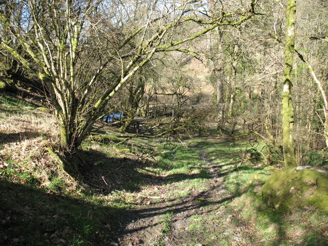
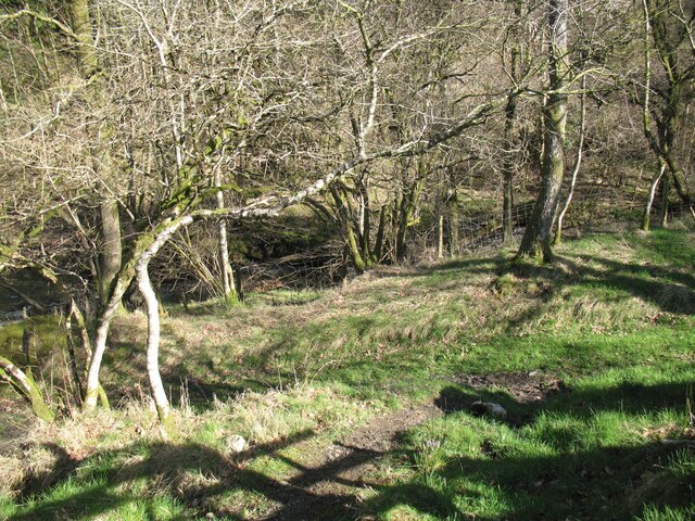
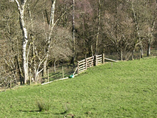
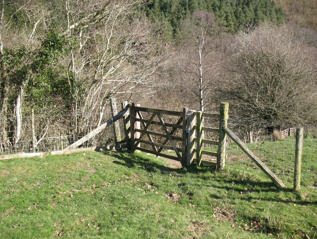
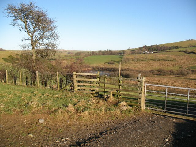
Little Tarn is a small freshwater body located in Cumberland, England. Nestled amidst picturesque surroundings, it is classified as a lake, pool, pond, and freshwater marsh, owing to its diverse characteristics. The tarn stretches over an area of approximately 5 acres and is known for its tranquility and natural beauty.

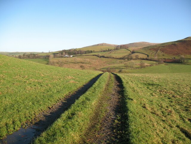
Surrounded by rolling hills and lush greenery, Little Tarn offers a serene escape for visitors seeking solace in nature. The calm waters of the tarn reflect the surrounding landscape, creating a picturesque scene that is ideal for photography and relaxation. The lake's crystal-clear waters are home to a variety of aquatic life, including fish, freshwater invertebrates, and waterfowl.

The marshy areas surrounding Little Tarn are rich in biodiversity, hosting numerous plant species like reeds, water lilies, and rushes. These marshes provide a habitat for a wide range of wildlife, including amphibians, insects, and birds. Birdwatchers can often spot a variety of species, such as mallards, herons, and kingfishers, making the tarn a popular destination for birdwatching enthusiasts.

Little Tarn offers recreational opportunities as well, with fishing being a popular activity. Anglers can try their luck at catching perch, roach, and pike, among other species. The serene atmosphere and the abundance of wildlife make fishing at Little Tarn a rewarding experience.

Overall, Little Tarn in Cumberland is a small yet enchanting freshwater body that offers a unique blend of natural beauty, tranquility, and recreational opportunities. Whether it's for photography, birdwatching, or fishing, visitors are sure to find solace and enjoyment in this idyllic natural setting.

If you have any feedback on the listing, please let us know in the comments section below.
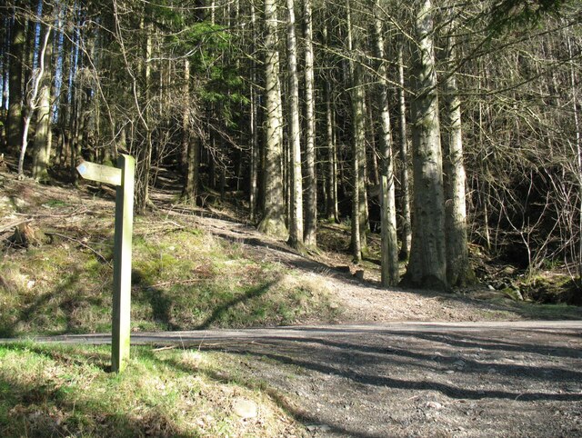
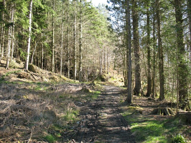
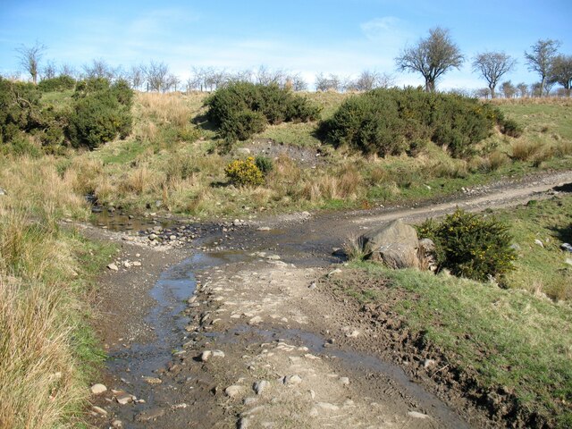
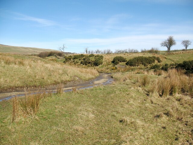
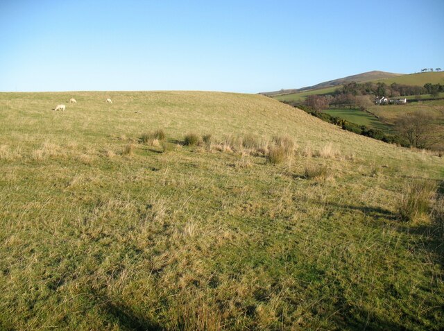
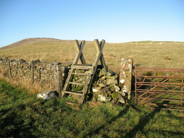
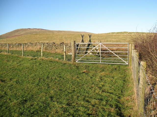
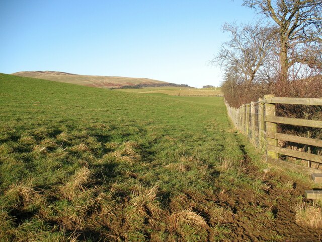
Little Tarn Images

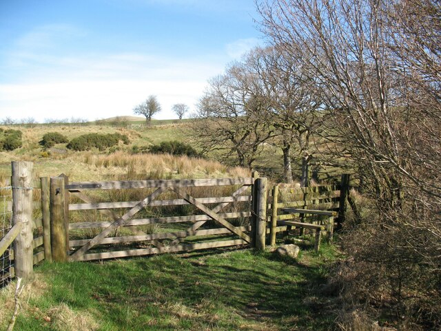
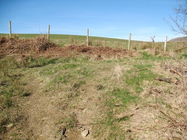
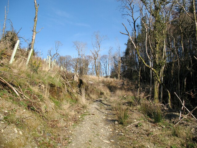
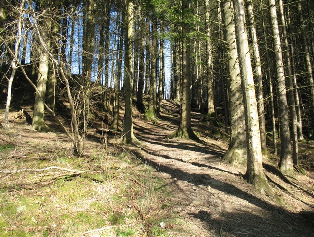
Images are sourced within 2km of 54.693591/-3.1670208 or Grid Reference NY2433. Thanks to Geograph Open Source API. All images are credited.

The Cumbria Way near Halls Beck The Cumbria Way reaches the minor road from Bassenthwaite to Cassbeck Bridge which it crosses, climbing steeply through Park Wood on the other side (next photograph <a href="https://www.geograph.org.uk/photo/7023760">NY2433 : The Cumbria Way, Park Wood</a>).
The Cumbria Way near Halls Beck
The Cumbria Way reaches the minor road from Bassenthwaite to Cassbeck Bridge which it crosses, climbing steeply through Park Wood on the other side (next photograph NY2433 : The Cumbria Way, Park Wood).
The Cumbria Way near Halls Beck The Cumbria Way follows the bridleway from Melbecks to Halls Beck, climbing towards the Bassenthwaite to Cassbeck Bridge Road from the footbridge over Halls Beck (next photograph <a href="https://www.geograph.org.uk/photo/7018438">NY2433 : The Cumbria Way near Halls Beck</a>).
The Cumbria Way near Halls Beck
The Cumbria Way follows the bridleway from Melbecks to Halls Beck, climbing towards the Bassenthwaite to Cassbeck Bridge Road from the footbridge over Halls Beck (next photograph NY2433 : The Cumbria Way near Halls Beck).
Ford on The Cumbria Way The Cumbria Way low level alternative route follows a bridleway from the road beside Halls Beck which climbs through Park Wood, but it stops abruptly at a small ford above Whitefield Wood when it reaches the boundary of Bassenthwaite Civil Parish which follows the beck. However The Cumbria Way continues to follow the farm track across the ford into the adjacent Civil Parish of Ireby and Uldale, picking up the public footpath to Orthwaite which commences at the ford (next photograph <a href="https://www.geograph.org.uk/photo/7029876">NY2433 : Gate and stile on farm track</a>).
Ford on The Cumbria Way
The Cumbria Way low level alternative route follows a bridleway from the road beside Halls Beck which climbs through Park Wood, but it stops abruptly at a small ford above Whitefield Wood when it reaches the boundary of Bassenthwaite Civil Parish which follows the beck. However The Cumbria Way continues to follow the farm track across the ford into the adjacent Civil Parish of Ireby and Uldale, picking up the public footpath to Orthwaite which commences at the ford (next photograph NY2433 : Gate and stile on farm track).
The Cumbria Way near Park Wood The Cumbria Way low level alternative route follows a bridleway from the road beside Halls Beck which climbs through Park Wood.  The bridleway crosses open ground after leaving the wood and joins a farm track (next photograph <a href="https://www.geograph.org.uk/photo/7022190">NY2433 : Ford on The Cumbria Way</a>).
The Cumbria Way near Park Wood
The Cumbria Way low level alternative route follows a bridleway from the road beside Halls Beck which climbs through Park Wood. The bridleway crosses open ground after leaving the wood and joins a farm track (next photograph NY2433 : Ford on The Cumbria Way).
Gate and Stile on The Cumbria Way At the top of Park Wood the low level alternative route of The Cumbria Way long distance path, following a bridleway at this point, leaves the wood by a stile beside a wooden field gate (next photograph <a href="https://www.geograph.org.uk/photo/7022194">NY2433 : The Cumbria Way near Park Wood</a>).
Gate and Stile on The Cumbria Way
At the top of Park Wood the low level alternative route of The Cumbria Way long distance path, following a bridleway at this point, leaves the wood by a stile beside a wooden field gate (next photograph NY2433 : The Cumbria Way near Park Wood).
The Cumbria Way, top of Park Wood The Cumbria Way low level alternative route follows a bridleway from the road beside Halls Beck which climbs through Park Wood.  At the top of the wood northbound walkers turn right onto a path beside a post and wire mesh fence (next photograph <a href="https://www.geograph.org.uk/photo/7023746">NY2433 : Gate and Stile on The Cumbria Way</a>).
The Cumbria Way, top of Park Wood
The Cumbria Way low level alternative route follows a bridleway from the road beside Halls Beck which climbs through Park Wood. At the top of the wood northbound walkers turn right onto a path beside a post and wire mesh fence (next photograph NY2433 : Gate and Stile on The Cumbria Way).
The Cumbria Way, Park Wood The Cumbria Way low level alternative route climbs through Park Wood (next photograph <a href="https://www.geograph.org.uk/photo/7023753">NY2433 : The Cumbria Way, top of Park Wood</a>).
Tree felling and replanting has taken place to the left of the path which is also a bridleway.
The Cumbria Way, Park Wood
The Cumbria Way low level alternative route climbs through Park Wood (next photograph NY2433 : The Cumbria Way, top of Park Wood). Tree felling and replanting has taken place to the left of the path which is also a bridleway.
The Cumbria Way, Park Wood The Cumbria Way low level alternative route climbs steeply through Park Wood (next photograph <a href="https://www.geograph.org.uk/photo/7023757">NY2433 : The Cumbria Way, Park Wood</a>).
The Cumbria Way, Park Wood
The Cumbria Way low level alternative route climbs steeply through Park Wood (next photograph NY2433 : The Cumbria Way, Park Wood).
Woodland near Halls Beck An old farm track leading through woodland near Halls Beck is the route of The Cumbria Way low level alternative route from Skiddaw House to Caldbeck (next photograph <a href="https://www.geograph.org.uk/photo/6902228">NY2433 : The Cumbria Way near Halls Beck</a>).
Woodland near Halls Beck
An old farm track leading through woodland near Halls Beck is the route of The Cumbria Way low level alternative route from Skiddaw House to Caldbeck (next photograph NY2433 : The Cumbria Way near Halls Beck).
The Cumbria Way near Halls Beck The Cumbria Way low level alternative route follows a bridleway which descends steeply towards Halls Beck, turning sharp left where it meets an old farm track in the wood (next photograph <a href="https://www.geograph.org.uk/photo/7025453">NY2433 : Woodland near Halls Beck</a>).
The Cumbria Way near Halls Beck
The Cumbria Way low level alternative route follows a bridleway which descends steeply towards Halls Beck, turning sharp left where it meets an old farm track in the wood (next photograph NY2433 : Woodland near Halls Beck).
The Cumbria Way near Halls Beck The bridleway from Melbecks to Halls Beck descends to a gate into woodland beside Halls Beck.  The Cumbria Way long distance path follows the bridleway through the gate (next photograph <a href="https://www.geograph.org.uk/photo/7039593">NY2433 : Bridleway gate near Halls Beck</a>).
The Cumbria Way near Halls Beck
The bridleway from Melbecks to Halls Beck descends to a gate into woodland beside Halls Beck. The Cumbria Way long distance path follows the bridleway through the gate (next photograph NY2433 : Bridleway gate near Halls Beck).
Field Gate near Halls Beck This gate provides farm access between two pasture fields.
It is also the route of The Cumbria Way low level alternative path from Skiddaw House to Caldbeck (next photograph <a href="https://www.geograph.org.uk/photo/7025469">NY2433 : The Cumbria Way near Halls Beck</a>).
Field Gate near Halls Beck
This gate provides farm access between two pasture fields. It is also the route of The Cumbria Way low level alternative path from Skiddaw House to Caldbeck (next photograph NY2433 : The Cumbria Way near Halls Beck).
Sheep pasture, Whitefield This upland field is used predominantly for sheep pasture.
A public footpath crosses the field and it is the route of The Cumbria Way low level alternative path from Skiddaw House to Caldbeck.  Northbound walkers following The Cumbria Way aim for the top of the field just back from the edge of the small escarpment (next photograph <a href="https://www.geograph.org.uk/photo/7086708">NY2433 : Fields near Little Tarn</a>).
Orthwaite Farm is in the right background with the summit of Longlands Fell behind.
Sheep pasture, Whitefield
This upland field is used predominantly for sheep pasture. A public footpath crosses the field and it is the route of The Cumbria Way low level alternative path from Skiddaw House to Caldbeck. Northbound walkers following The Cumbria Way aim for the top of the field just back from the edge of the small escarpment (next photograph NY2433 : Fields near Little Tarn). Orthwaite Farm is in the right background with the summit of Longlands Fell behind.
Stile on The Cumbria Way This wooden public footpath step stile near Whitefield is on The Cumbria Way low level alternative route from Skiddaw House to Caldbeck.  Northbound walkers following The Cumbria Way turn right after crossing the stile (next photograph <a href="https://www.geograph.org.uk/photo/7028926">NY2433 : Sheep pasture, Whitefield</a>).
The fell in the left background is Binsey, a Wainwright.
Stile on The Cumbria Way
This wooden public footpath step stile near Whitefield is on The Cumbria Way low level alternative route from Skiddaw House to Caldbeck. Northbound walkers following The Cumbria Way turn right after crossing the stile (next photograph NY2433 : Sheep pasture, Whitefield). The fell in the left background is Binsey, a Wainwright.
Gate and stile, Whitefield Two public footpaths meet here and diverge again beyond the stile.
This is the route of The Cumbria Way low level alternative path (next photograph <a href="https://www.geograph.org.uk/photo/7029198">NY2433 : Stile on The Cumbria Way</a>).
The fell in the left background is Binsey, a Wainwright.
Gate and stile, Whitefield
Two public footpaths meet here and diverge again beyond the stile. This is the route of The Cumbria Way low level alternative path (next photograph NY2433 : Stile on The Cumbria Way). The fell in the left background is Binsey, a Wainwright.
Field edge, Whitefield A public footpath from Horsemoor Hills to Overwater Hall runs beside the fence; it is also The Cumbria Way low level alternative route (next photograph <a href="https://www.geograph.org.uk/photo/7029203">NY2433 : Gate and stile, Whitefield</a>).
Field edge, Whitefield
A public footpath from Horsemoor Hills to Overwater Hall runs beside the fence; it is also The Cumbria Way low level alternative route (next photograph NY2433 : Gate and stile, Whitefield).
The Cumbria Way, Whitefield The Cumbria Way low level alternative route follows a farm track across open pasture, turning left just before a stile and gate is reached (next photograph <a href="https://www.geograph.org.uk/photo/7029856">NY2433 : Field edge, Whitefield</a>).
Walkers on The Cumbria Way do not cross the stile, which is provided for the public footpath to Horsemoor Hills.
The Cumbria Way, Whitefield
The Cumbria Way low level alternative route follows a farm track across open pasture, turning left just before a stile and gate is reached (next photograph NY2433 : Field edge, Whitefield). Walkers on The Cumbria Way do not cross the stile, which is provided for the public footpath to Horsemoor Hills.
The Cumbria Way near Whitefield Wood The Cumbria Way low level alternative route follows a farm track across fields above Whitefield Wood (next photograph <a href="https://www.geograph.org.uk/photo/7029864">NY2433 : The Cumbria Way, Whitefield</a>).
Orthwaite Farm, Longlands Fell and Lowthwaite Fell are in the background.
The Cumbria Way near Whitefield Wood
The Cumbria Way low level alternative route follows a farm track across fields above Whitefield Wood (next photograph NY2433 : The Cumbria Way, Whitefield). Orthwaite Farm, Longlands Fell and Lowthwaite Fell are in the background.
Show me another place!

Little Tarn is located at Grid Ref: NY2433 (Lat: 54.693591, Lng: -3.1670208)

Administrative County: Cumbria

District: Allerdale

Police Authority: Cumbria

What 3 Words

///cold.forgiving.student. Near Keswick, Cumbria

Related Wikis

Overwater Hall

Overwater Hall is a country house near Ireby in Cumbria. It is a Grade II Listed building. == History == The house was built for Joseph Gillbanks, who...

Over Water

Over Water is a small lake or tarn in the north of the English Lake District, southwest of the hamlet of Longlands. Binsey, Great Cockup and Longlands...

Dash Valley

The Dash Valley is a small valley in the English Lake District. It has only one dwelling, Dash Farm, the fields of which spread right across the valley...

Chapelhouse Reservoir

Chapelhouse Reservoir is a water reservoir near Uldale in Cumbria, England. == History == The reservoir, which is around 435 metres (1,427 ft) long, was...

Nearby Amenities

Located within 500m of 54.693591,-3.1670208
Horsemoor Hills
Place: hamlet
Lat/Long: 54.6904438/-3.1620625
Barrier: stile
Material: wood
Stile: stepover
Lat/Long: 54.6928325/-3.1707082
Power: pole
Lat/Long: 54.6910961/-3.1620588
Power: pole
Lat/Long: 54.6918213/-3.163303
Power: pole
Lat/Long: 54.69255/-3.1645887
Power: pole
Lat/Long: 54.6935415/-3.1650496
Power: pole
Lat/Long: 54.6945198/-3.1655332
Power: pole
Lat/Long: 54.6955268/-3.1660314
Power: pole
Lat/Long: 54.6964513/-3.1662277
Power: pole
Lat/Long: 54.697561/-3.1663476
Power: pole
Lat/Long: 54.6962781/-3.160955
The data included in this document is from www.openstreetmap.org. The data is made available under ODbL.

Have you been to Little Tarn?

Leave your review of Little Tarn below (or comments, questions and feedback).