Camilla Loch

Lake, Pool, Pond, Freshwater Marsh in Fife

Scotland

Camilla Loch

Fields parallel to B925 near Auchtertool
Fields parallel to B925 near Auchtertool Credit: Becky Williamson

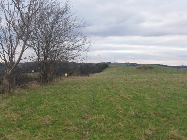
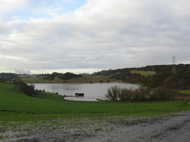
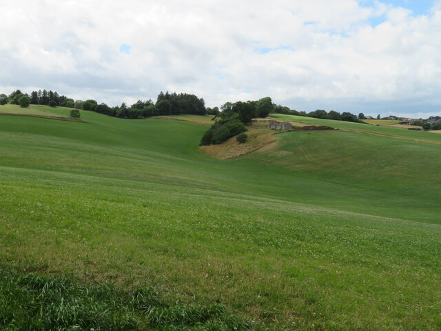
Camilla Loch is a picturesque freshwater lake located in the scenic region of Fife, Scotland. It is a popular destination for both locals and tourists seeking a tranquil and scenic spot to enjoy nature's beauty. The loch spans an area of approximately 15 acres and is surrounded by lush greenery, creating a captivating and idyllic atmosphere.

The water in Camilla Loch is crystal clear and offers a refreshing respite during the warm summer months. It is home to a diverse range of aquatic life, including various species of fish, waterfowl, and insects. Anglers are often drawn to the lake, as it provides an excellent opportunity for fishing enthusiasts to try their luck and potentially catch brown trout and perch.

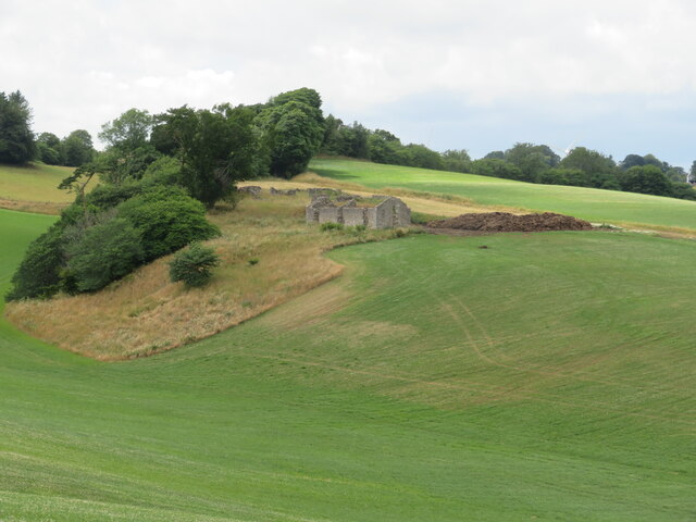
Surrounding the lake, there are several well-maintained walking trails and picnic areas, allowing visitors to explore the natural beauty of the area at their own pace. The tranquil ambiance of Camilla Loch makes it an ideal spot for relaxation, birdwatching, and photography. The scenic backdrop provides a perfect setting for capturing breathtaking photographs of the lake and its surrounding wildlife.

Camilla Loch is easily accessible, located just a short drive from the town of Lochgelly. Its serene and unspoiled environment makes it a haven for nature lovers seeking a peaceful escape from the hustle and bustle of everyday life. Whether it's enjoying a leisurely stroll, casting a fishing line, or simply taking in the beauty of the surroundings, Camilla Loch offers a splendid natural retreat for all to enjoy.

If you have any feedback on the listing, please let us know in the comments section below.
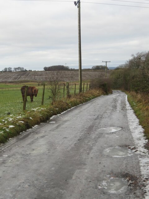
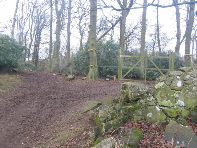
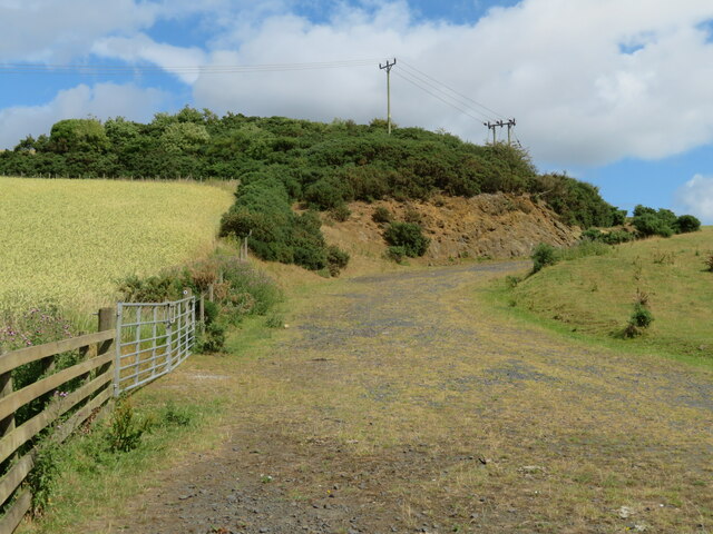
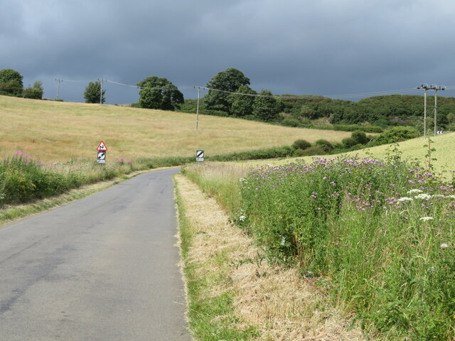
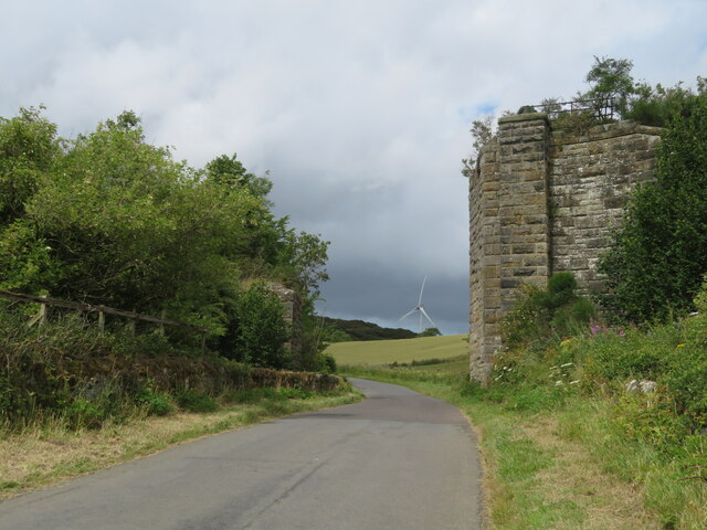
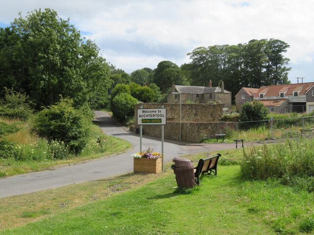
Camilla Loch Images

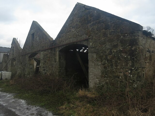
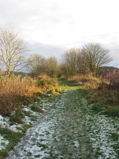
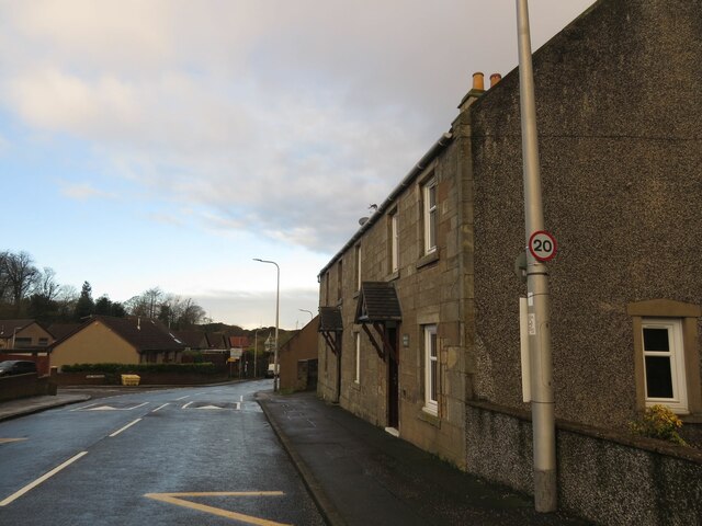
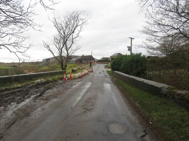
Images are sourced within 2km of 56.109828/-3.254969 or Grid Reference NT2291. Thanks to Geograph Open Source API. All images are credited.

Fields parallel to B925 near Auchtertool
Camilla Loch
Camilla Loch
Benchmark, Lambswell Wood Ordnance Survey benchmark, described on database at <span class="nowrap"><a title="https://www.bench-marks.org.uk/bm147458" rel="nofollow ugc noopener" href="https://www.bench-marks.org.uk/bm147458">Link</a><img style="margin-left:2px;" alt="External link" title="External link - shift click to open in new window" src="https://s1.geograph.org.uk/img/external.png" width="10" height="10"/></span>. sEE ALSO <a href="https://www.geograph.org.uk/photo/7005710">NT2391 : Lambswell Wood, near Newbigging</a>.
Benchmark, Lambswell Wood
Ordnance Survey benchmark, described on database at LinkExternal link. sEE ALSO NT2391 : Lambswell Wood, near Newbigging.
Benchmark, West Balbarton farm Ordnance Survey benchmark, described on database at <span class="nowrap"><a title="https://www.bench-marks.org.uk/bm158520" rel="nofollow ugc noopener" href="https://www.bench-marks.org.uk/bm158520">Link</a><img style="margin-left:2px;" alt="External link" title="External link - shift click to open in new window" src="https://s1.geograph.org.uk/img/external.png" width="10" height="10"/></span>. See also <a href="https://www.geograph.org.uk/photo/7005716">NT2391 : West Balbarton Farm buildings, near Newbigging</a>.
Benchmark, West Balbarton farm
Ordnance Survey benchmark, described on database at LinkExternal link. See also NT2391 : West Balbarton Farm buildings, near Newbigging.
Icy farm track, Little Gleniston
Rivet benchmark, Shawsmill Bridge Ordnance Survey rivet benchmark, described on database at <span class="nowrap"><a title="https://www.bench-marks.org.uk/bm147452" rel="nofollow ugc noopener" href="https://www.bench-marks.org.uk/bm147452">Link</a><img style="margin-left:2px;" alt="External link" title="External link - shift click to open in new window" src="https://s1.geograph.org.uk/img/external.png" width="10" height="10"/></span>. See also <a href="https://www.geograph.org.uk/photo/7007009">NT2293 : Shawsmill Bridge, near Cardenden</a>.
Rivet benchmark, Shawsmill Bridge
Ordnance Survey rivet benchmark, described on database at LinkExternal link. See also NT2293 : Shawsmill Bridge, near Cardenden.
Lambswell Wood, near Newbigging There is an Ordnance Survey benchmark on this crumbling wall in the wood (just visible if you look closely). See <a href="https://www.geograph.org.uk/photo/7005679">NT2391 : Benchmark, Lambswell Wood</a>.
Lambswell Wood, near Newbigging
There is an Ordnance Survey benchmark on this crumbling wall in the wood (just visible if you look closely). See NT2391 : Benchmark, Lambswell Wood.
Benchmark, former Auchtertool Warehouse Ordnance Survey benchmark, described on database at <span class="nowrap"><a title="https://www.bench-marks.org.uk/bm140793" rel="nofollow ugc noopener" href="https://www.bench-marks.org.uk/bm140793">Link</a><img style="margin-left:2px;" alt="External link" title="External link - shift click to open in new window" src="https://s1.geograph.org.uk/img/external.png" width="10" height="10"/></span>. See also <a href="https://www.geograph.org.uk/photo/7006979">NT2190 : Former Auchtertool Warehouse</a>.
Benchmark, former Auchtertool Warehouse
Ordnance Survey benchmark, described on database at LinkExternal link. See also NT2190 : Former Auchtertool Warehouse.
West Balbarton Farm buildings, near Newbigging There is an Ordnance Survey benchmark on this farm building.
West Balbarton Farm buildings, near Newbigging
There is an Ordnance Survey benchmark on this farm building.
Former Kirkcaldy District Railway line near Auchtertool
Former Auchtertool Warehouse There is an Ordnance Survey benchmark on this building, visible on stone level with bottom of window between window and lamppost. See <a href="https://www.geograph.org.uk/photo/7005714">NT2190 : Benchmark, former Auchtertool Warehouse</a>.
Former Auchtertool Warehouse
There is an Ordnance Survey benchmark on this building, visible on stone level with bottom of window between window and lamppost. See NT2190 : Benchmark, former Auchtertool Warehouse.
Shawsmill Bridge, near Cardenden There is an Ordnance Survey rivet benchmark on this bridge, which spans the Gelly Burn. See <a href="https://www.geograph.org.uk/photo/7005707">NT2293 : Rivet benchmark, Shawsmill Bridge</a>.
Shawsmill Bridge, near Cardenden
There is an Ordnance Survey rivet benchmark on this bridge, which spans the Gelly Burn. See NT2293 : Rivet benchmark, Shawsmill Bridge.
Farm track and outcrop at Auchtertool With LT power cables and a wheat crop on the left.
Farm track and outcrop at Auchtertool
With LT power cables and a wheat crop on the left.
Bend in the road from Auchtertool to Lochgelly Heading north through farmland.
Bend in the road from Auchtertool to Lochgelly
Heading north through farmland.
Railway bridge remains Part of the North British Railway, Kirkcaldy and District line - never a mainline! <span class="nowrap"><a title="https://www.railscot.co.uk/locations/A/Auchtertool_Goods/" rel="nofollow ugc noopener" href="https://www.railscot.co.uk/locations/A/Auchtertool_Goods/">Link</a><img style="margin-left:2px;" alt="External link" title="External link - shift click to open in new window" src="https://s1.geograph.org.uk/img/external.png" width="10" height="10"/></span>
Railway bridge remains
Part of the North British Railway, Kirkcaldy and District line - never a mainline! LinkExternal link
Auchtertool village welcome sign Camilla, and Camilla Road.
Auchtertool village welcome sign
Camilla, and Camilla Road.
Undulating fields near Auchtertool The ruins on the ridge are of <a href="https://www.geograph.org.uk/photo/7228729">NT2290 : Mourn House, Auchtertool</a>. It is present on GB1900 mapping, but there is no Canmore entry. An entry in Scotland's Places reads :- 'Extensive outoffices and Farm house now occupied by Labouring Men, the property of Mr Boswell of Balmuto' <span class="nowrap"><a title="https://scotlandsplaces.gov.uk/digital-volumes/ordnance-survey-name-books/fife-and-kinross-shire-os-name-books-1853-1855/fife-and-kinross-shire-volume-133/33" rel="nofollow ugc noopener" href="https://scotlandsplaces.gov.uk/digital-volumes/ordnance-survey-name-books/fife-and-kinross-shire-os-name-books-1853-1855/fife-and-kinross-shire-volume-133/33">Link</a><img style="margin-left:2px;" alt="External link" title="External link - shift click to open in new window" src="https://s1.geograph.org.uk/img/external.png" width="10" height="10"/></span>. There is a planning application for five courtyard houses to be built on the site <span class="nowrap"><a title="https://www.fifetoday.co.uk/news/politics/council/new-homes-planned-for-site-of-ruin-near-fife-town-3754661e" rel="nofollow ugc noopener" href="https://www.fifetoday.co.uk/news/politics/council/new-homes-planned-for-site-of-ruin-near-fife-town-3754661e">Link</a><img style="margin-left:2px;" alt="External link" title="External link - shift click to open in new window" src="https://s1.geograph.org.uk/img/external.png" width="10" height="10"/></span>
Undulating fields near Auchtertool
The ruins on the ridge are of NT2290 : Mourn House, Auchtertool. It is present on GB1900 mapping, but there is no Canmore entry. An entry in Scotland's Places reads :- 'Extensive outoffices and Farm house now occupied by Labouring Men, the property of Mr Boswell of Balmuto' LinkExternal link. There is a planning application for five courtyard houses to be built on the site LinkExternal link
Mourn House, Auchtertool An isolated farm dating at least back to the 1850s. The ruins on the ridge are of Mourn House <a href="https://www.geograph.org.uk/photo/7228701">NT2290 : Undulating fields near Auchtertool</a>. It is present on GB1900 mapping, but there is no Canmore entry. An entry in Scotland's Places reads :- 'Extensive outoffices and Farm house now occupied by Labouring Men, the property of Mr Boswell of Balmuto' <span class="nowrap"><a title="https://scotlandsplaces.gov.uk/digital-volumes/ordnance-survey-name-books/fife-and-kinross-shire-os-name-books-1853-1855/fife-and-kinross-shire-volume-133/33" rel="nofollow ugc noopener" href="https://scotlandsplaces.gov.uk/digital-volumes/ordnance-survey-name-books/fife-and-kinross-shire-os-name-books-1853-1855/fife-and-kinross-shire-volume-133/33">Link</a><img style="margin-left:2px;" alt="External link" title="External link - shift click to open in new window" src="https://s1.geograph.org.uk/img/external.png" width="10" height="10"/></span>. There is a planning application for five courtyard houses to be built on the site <span class="nowrap"><a title="https://www.fifetoday.co.uk/news/politics/council/new-homes-planned-for-site-of-ruin-near-fife-town-3754661" rel="nofollow ugc noopener" href="https://www.fifetoday.co.uk/news/politics/council/new-homes-planned-for-site-of-ruin-near-fife-town-3754661">Link</a><img style="margin-left:2px;" alt="External link" title="External link - shift click to open in new window" src="https://s1.geograph.org.uk/img/external.png" width="10" height="10"/></span>.
Mourn House, Auchtertool
An isolated farm dating at least back to the 1850s. The ruins on the ridge are of Mourn House NT2290 : Undulating fields near Auchtertool. It is present on GB1900 mapping, but there is no Canmore entry. An entry in Scotland's Places reads :- 'Extensive outoffices and Farm house now occupied by Labouring Men, the property of Mr Boswell of Balmuto' LinkExternal link. There is a planning application for five courtyard houses to be built on the site LinkExternal link.
Show me another place!

Camilla Loch is located at Grid Ref: NT2291 (Lat: 56.109828, Lng: -3.254969)

Unitary Authority: Fife

Police Authority: Fife

What 3 Words

///attaching.purses.actor. Near Cardenden, Fife

Nearby Locations

Camilla Loch

Related Wikis

Auchtertool

Auchtertool ( ; Scottish Gaelic: Uachdar Tuil) is a small village in Fife, Scotland. It is 4 miles west of Kirkcaldy. The name is from the Gaelic uachdar...

Hallyards Castle

Hallyards Castle (Scots: Hall yairds "the yards at the hall"), located to the north-west of the village of Auchtertool, is reputed to have been a hunting...

Raith, Fife

Raith (Scottish Gaelic: rĂ th, "fort" or "fortified residence"), as an area of Fife, once stretched from the lands of Little Raith (earlier Wester Raith...

Kirkcaldy and Cowdenbeath (UK Parliament constituency)

Kirkcaldy and Cowdenbeath is a county constituency representing the areas around the towns of Kirkcaldy and Cowdenbeath, in Fife, Scotland, in the House...

Nearby Amenities

Located within 500m of 56.109828,-3.254969
Power: tower
Lat/Long: 56.1111923/-3.2540015
Power: tower
Lat/Long: 56.1112378/-3.2491199
Power: tower
Lat/Long: 56.1111338/-3.2602672
Power: tower
Lat/Long: 56.1111657/-3.2568554
Power: pole
Lat/Long: 56.1122561/-3.2615452
Power: pole
Lat/Long: 56.1125357/-3.2605745
Power: pole
Lat/Long: 56.1128526/-3.2595066
Power: pole
Lat/Long: 56.113111/-3.258267
Power: pole
Lat/Long: 56.1133874/-3.2570618
Power: pole
Lat/Long: 56.1134867/-3.2590151
Power: pole
Lat/Long: 56.1136628/-3.2558451
Power: pole
Lat/Long: 56.1137734/-3.2567511
Power: pole
Lat/Long: 56.1139222/-3.2546894
Power: pole
Lat/Long: 56.1141445/-3.2546824
Power: pole
Lat/Long: 56.1141891/-3.2534937
Generator Method: wind_turbine
Generator Output Electricity: 2.3 MW
Generator Source: wind
Generator Type: horizontal_axis
Power: generator
Lat/Long: 56.1123832/-3.2567205
Generator Method: wind_turbine
Generator Output Electricity: 2.3 MW
Generator Source: wind
Generator Type: horizontal_axis
Power: generator
Lat/Long: 56.1132559/-3.2516875
Power: pole
Lat/Long: 56.1129273/-3.2606944
Power: pole
Lat/Long: 56.1131561/-3.2597691
The data included in this document is from www.openstreetmap.org. The data is made available under ODbL.

Have you been to Camilla Loch?

Leave your review of Camilla Loch below (or comments, questions and feedback).