Courtfall Loch

Lake, Pool, Pond, Freshwater Marsh in Caithness

Scotland

Courtfall Loch

Many Lochs A view of the middle of the three lochs.
Many Lochs Credit: David Bremner

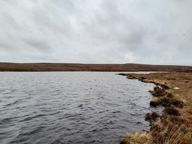
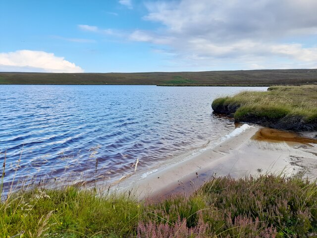
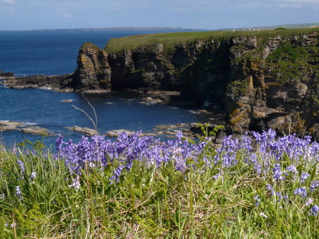
Courtfall Loch is a picturesque freshwater loch located in the county of Caithness, in the northernmost region of Scotland. Nestled amidst stunning natural beauty, this body of water has become a popular destination for nature enthusiasts and anglers alike.

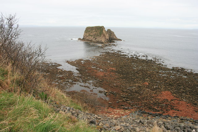
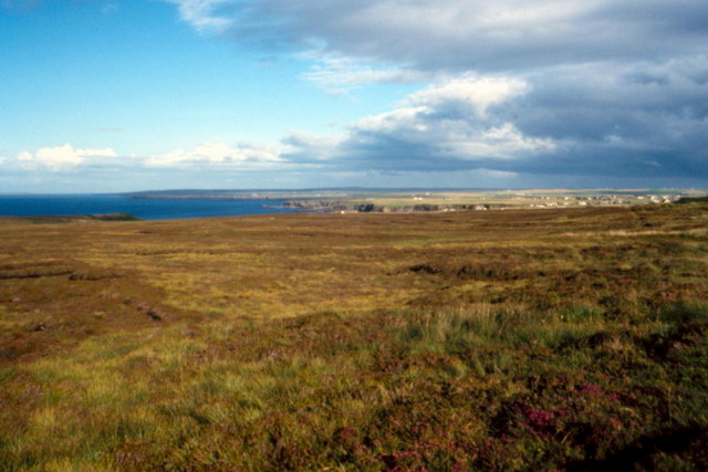
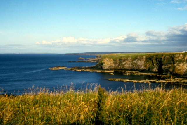
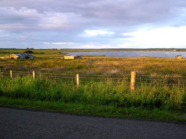
With an area of approximately 10 hectares, Courtfall Loch offers a tranquil and serene environment for visitors to enjoy. Surrounded by rolling hills and lush greenery, the loch provides a sense of peaceful seclusion. Its crystal-clear waters shimmer under the sunlight, reflecting the surrounding landscape and creating a captivating sight.

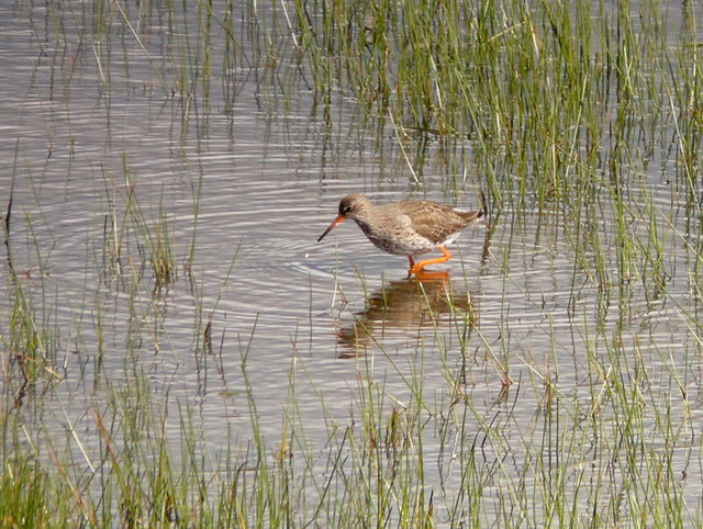
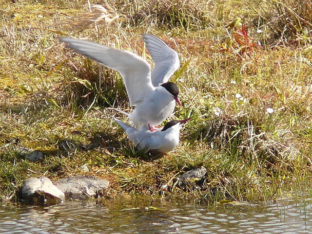
The loch is home to a diverse range of aquatic flora and fauna, making it an ideal spot for birdwatching and wildlife observation. Visitors can often spot a variety of water birds such as ducks, swans, and herons gliding gracefully across the surface. The surrounding vegetation, including reeds and water lilies, provides a habitat for numerous smaller creatures, adding to the loch's ecological richness.

In addition to its natural beauty, Courtfall Loch is a haven for anglers. The loch is well-stocked with various species of fish, including brown trout and perch, making it a popular spot for fishing enthusiasts. The calm waters and abundant fish population make for an enjoyable and rewarding fishing experience.

Overall, Courtfall Loch offers a serene and captivating natural environment, providing visitors with an opportunity to immerse themselves in the tranquility of the Scottish highlands. Whether it's birdwatching, fishing, or simply appreciating the breathtaking scenery, this loch is a must-visit destination for nature lovers seeking solace in the heart of Caithness.

If you have any feedback on the listing, please let us know in the comments section below.

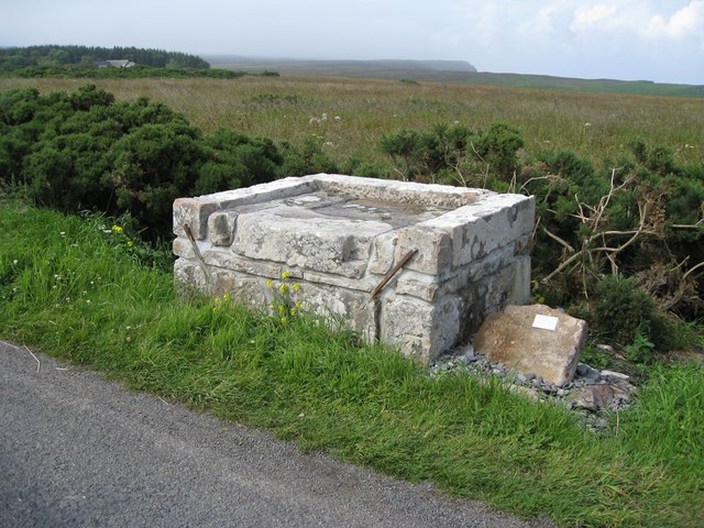
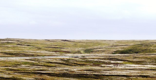
Courtfall Loch Images

Images are sourced within 2km of 58.646641/-3.3557866 or Grid Reference ND2173. Thanks to Geograph Open Source API. All images are credited.

Many Lochs A view of the middle of the three lochs.
Many Lochs
A view of the middle of the three lochs.
Many Lochs The western most loch has a small sandy beach.
Many Lochs
The western most loch has a small sandy beach.
The Many Lochs The westernmost of the three Many Lochs
The Many Lochs
The westernmost of the three Many Lochs
Many Lochs
Many Lochs
Bluebells at Brough
Bluebells at Brough
Redshank at St. John's Pool
Arctic terns Full of the joys of Spring at St. John's Pool.
Arctic terns
Full of the joys of Spring at St. John's Pool.
Daffodils near Brough Looking from the B855 towards Clett and Little Clett, these daffodils adorn the hillside above the track leading down to Brough slipway.
Daffodils near Brough
Looking from the B855 towards Clett and Little Clett, these daffodils adorn the hillside above the track leading down to Brough slipway.
The Clett and Little Clett
Dunnet Head - 1987 Dunnet Head, seen from dirtroad to Burifa' Hill.
Dunnet Head - 1987
Dunnet Head, seen from dirtroad to Burifa' Hill.
Dunnet Head - 1987 Dunnet Head, seen from dirtroad to Burifa' Hill.
Dunnet Head - 1987
Dunnet Head, seen from dirtroad to Burifa' Hill.
Dunnet Head - 1987 Dunnet Head, peat ditch, Sanders Loch visible in the distance.
Dunnet Head - 1987
Dunnet Head, peat ditch, Sanders Loch visible in the distance.
Heather - 1987 Dunnet Head, heather.
Heather - 1987
Dunnet Head, heather.
Dunnet Head, Brough - 1987 Dunnet Head, Brough seen from A855.
Dunnet Head, Brough - 1987
Dunnet Head, Brough seen from A855.
Dunnet Head, Brough - 1987 Dunnet Head, Brough, Little Clett.
Dunnet Head, Brough - 1987
Dunnet Head, Brough, Little Clett.
Dunnet Head, Brough - 1987 Dunnet Head, Brough, The Stacks.
Dunnet Head, Brough - 1987
Dunnet Head, Brough, The Stacks.
Lighthouse Loading Platform The adjacent inscription reads "This platform was used for the loading of carts with oil and other stores for Dunnet Head Lighthouse.  Constructed c1831 by the Northern Lighthouse Board.  Restored by the Brough Bay Association 2011."
Lighthouse Loading Platform
The adjacent inscription reads "This platform was used for the loading of carts with oil and other stores for Dunnet Head Lighthouse. Constructed c1831 by the Northern Lighthouse Board. Restored by the Brough Bay Association 2011."
Black Loch with cotton grass In June vast acres of Dunnet Head are covered with snow-like cotton grass.
Black Loch with cotton grass
In June vast acres of Dunnet Head are covered with snow-like cotton grass.
Show me another place!

Courtfall Loch is located at Grid Ref: ND2173 (Lat: 58.646641, Lng: -3.3557866)

Unitary Authority: Highland

Police Authority: Highlands and Islands

What 3 Words

///dice.binders.weary. Near Thurso, Highland

Related Wikis

Brough, Caithness

Brough is a small village (population 66) in Caithness in the North of Scotland. It is located on the B855 single-track road, the most northerly numbered...

Brough Castle (Caithness)

Brough Castle is a ruined castle near Brough, Caithness. It is believed to date from the 12th to 14th centuries. == Description == The foundations of...

Dunnet Head

Dunnet Head (Scottish Gaelic: Ceann Dùnaid) is a peninsula in Caithness, on the north coast of Scotland. Dunnet Head includes the most northerly point...

St. John's Loch

St. John's Loch is a loch in the civil parish of Dunnet, in Caithness, Highland, Scotland. Loch Heilen and St. John's Loch are the two largest lochs in...

Nearby Amenities

Located within 500m of 58.646641,-3.3557866
Power: pole
Lat/Long: 58.6472238/-3.3484394
Power: pole
Lat/Long: 58.6473104/-3.3494709
Power: pole
Lat/Long: 58.647377/-3.3503967
Power: pole
Lat/Long: 58.6474805/-3.3516698
Power: pole
Lat/Long: 58.6475713/-3.352817
Power: pole
Lat/Long: 58.647677/-3.3540474
Power: pole
Lat/Long: 58.6479538/-3.3552352
Power: pole
Lat/Long: 58.6482422/-3.3563986
Power: pole
Lat/Long: 58.6485549/-3.3576838
Power: pole
Lat/Long: 58.648838/-3.3589345
Power: pole
Lat/Long: 58.6492668/-3.3600228
Power: pole
Lat/Long: 58.6497422/-3.3611375
Power: pole
Lat/Long: 58.6497121/-3.3529083
Power: pole
Lat/Long: 58.64926/-3.3531236
Power: pole
Lat/Long: 58.6488184/-3.3533367
Power: pole
Lat/Long: 58.6484001/-3.3535317
Power: pole
Lat/Long: 58.6472211/-3.3543174
Power: pole
Lat/Long: 58.6467817/-3.354555
Power: pole
Lat/Long: 58.6462048/-3.3548981
Power: pole
Lat/Long: 58.6457474/-3.3550199
Power: pole
Lat/Long: 58.645291/-3.3551479
Power: pole
Lat/Long: 58.6448388/-3.3552839
Power: pole
Lat/Long: 58.6443697/-3.3554281
Power: pole
Lat/Long: 58.6439144/-3.35556
Power: pole
Lat/Long: 58.6432287/-3.355292
Power: pole
Lat/Long: 58.6425113/-3.3550098
The data included in this document is from www.openstreetmap.org. The data is made available under ODbL.

Have you been to Courtfall Loch?

Leave your review of Courtfall Loch below (or comments, questions and feedback).