Torduff Reservoir
Lake, Pool, Pond, Freshwater Marsh in Midlothian
Scotland
Torduff Reservoir
Torduff Reservoir is a freshwater reservoir located in Midlothian, Scotland. It is situated within the Pentland Hills Regional Park, approximately 7 miles south of the city of Edinburgh. The reservoir was constructed in the 19th century to provide drinking water for the local area.
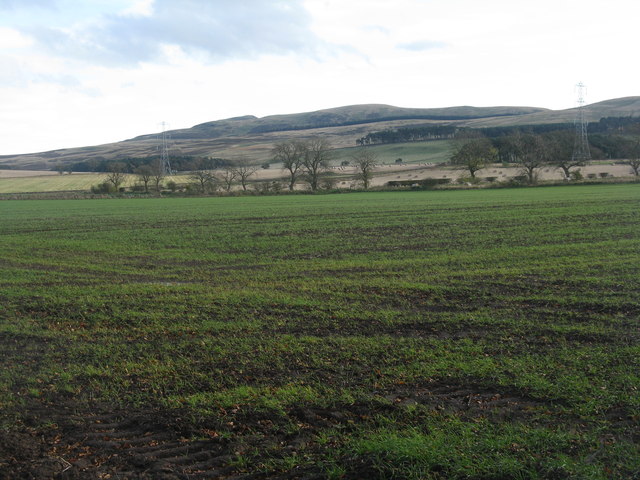
Covering an area of approximately 25 hectares, Torduff Reservoir is a man-made body of water that is fed by a small stream known as the Torduff Burn. The reservoir is surrounded by rolling hills and offers stunning views of the surrounding countryside. Its tranquil and picturesque setting makes it a popular destination for nature lovers, walkers, and birdwatchers.
The reservoir supports a diverse range of flora and fauna. The surrounding wetland and marsh areas provide a habitat for various species of waterfowl, including ducks, geese, and swans. It is also home to a variety of fish species, such as brown trout and perch, making it a popular spot for anglers.
Torduff Reservoir is open to the public and offers several recreational activities. Visitors can enjoy walking and cycling along the well-maintained paths that surround the reservoir, taking in the beautiful scenery. Fishing is permitted with the appropriate permits and licenses, allowing anglers to try their luck in the abundant waters. Birdwatchers can also indulge in spotting a wide range of bird species that frequent the area.
Overall, Torduff Reservoir is a peaceful and scenic water body that serves both as a vital water source and a haven for wildlife, offering visitors a chance to enjoy nature in a serene environment.
If you have any feedback on the listing, please let us know in the comments section below.
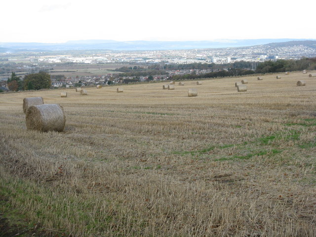
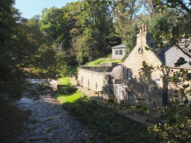
Torduff Reservoir Images
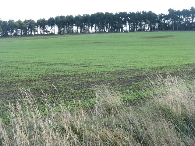
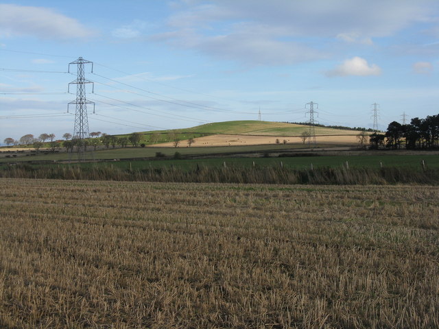
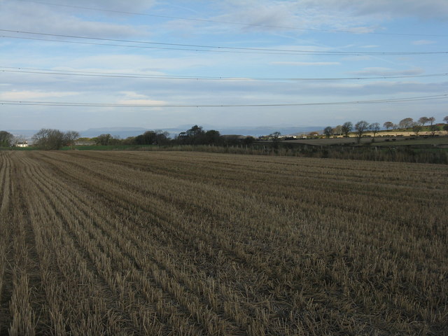
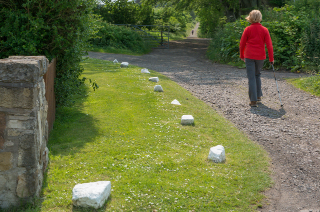
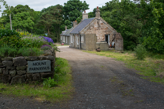
Images are sourced within 2km of 55.89375/-3.2729295 or Grid Reference NT2067. Thanks to Geograph Open Source API. All images are credited.


Torduff Reservoir is located at Grid Ref: NT2067 (Lat: 55.89375, Lng: -3.2729295)
Unitary Authority: City of Edinburgh
Police Authority: Edinburgh
What 3 Words
///emerge.flash.asleep. Near Colinton, Edinburgh
Nearby Locations
Related Wikis

Torphin
Torphin ( tor-FIN) is a small area in the south-west of Edinburgh, Scotland, with its name deriving from the nearby Torphin Hill. It lies just south of...
Bonaly
Bonaly () is an area on the south-western outskirts of Edinburgh and the northern slopes of the Pentland Hills, lying within the Parish of Colinton. It...

Woodhall House, Edinburgh
Woodhall House is a Scottish mansion house, first recorded in 1707. It was also an institution run by the Society of Jesus in the late 20th century. It...
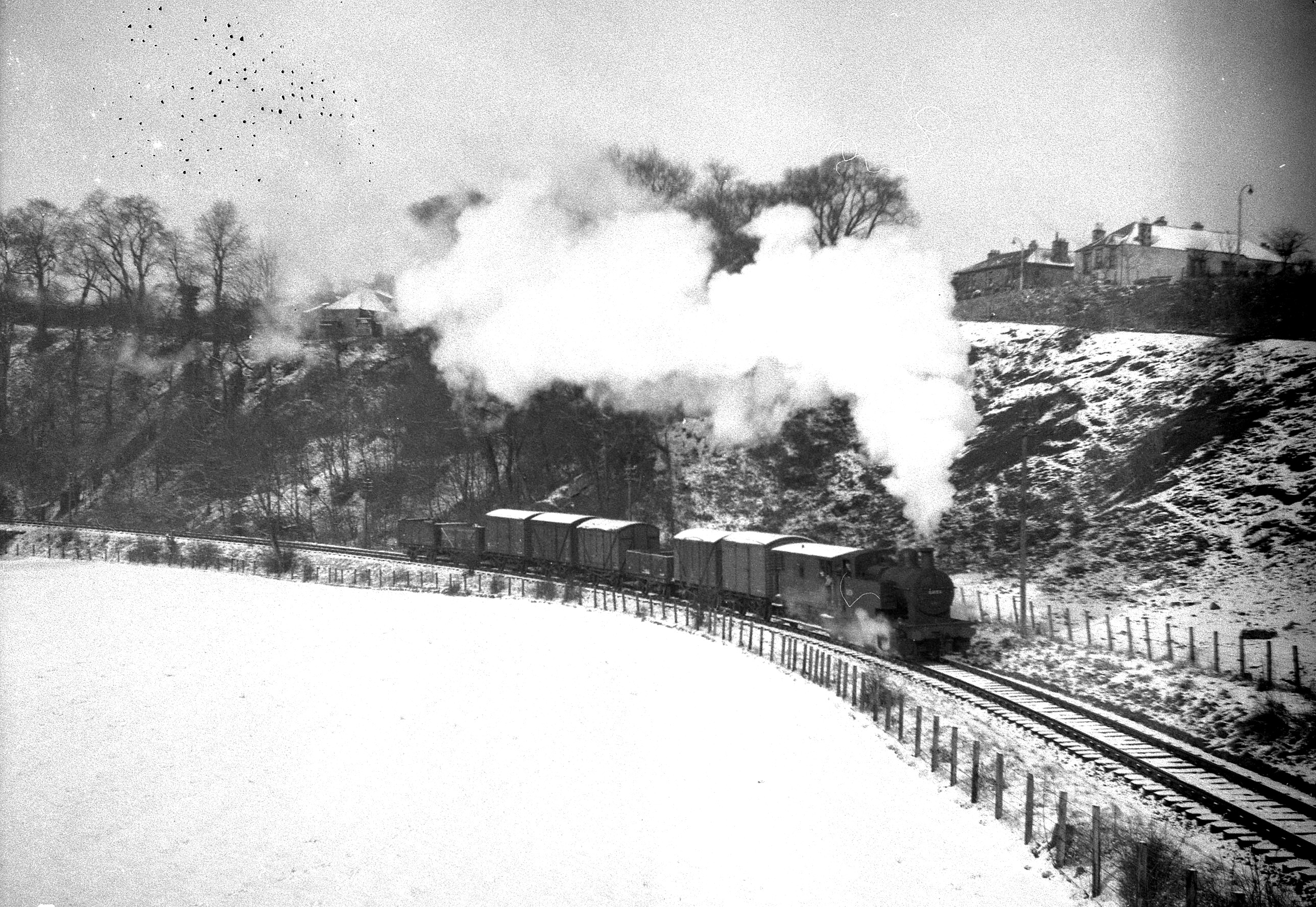
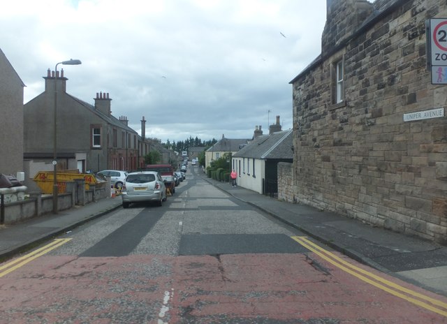
Juniper Green railway station
Juniper Green railway station was opened in 1874 and served the area of the then village of Juniper Green that now forms part of the city of Edinburgh...
Nearby Amenities
Located within 500m of 55.89375,-3.2729295Have you been to Torduff Reservoir?
Leave your review of Torduff Reservoir below (or comments, questions and feedback).