Babcary

Settlement in Somerset South Somerset

England

Babcary

Babcary Church Church of the Holy Cross.
Babcary Church Credit: Barbara Voules

Babcary is a small village located in the county of Somerset, England. Situated in the South West region of the country, Babcary is approximately 5 miles north of the town of Somerton and 8 miles south of Glastonbury. It falls within the district of South Somerset and is part of the civil parish of Keinton Mandeville.

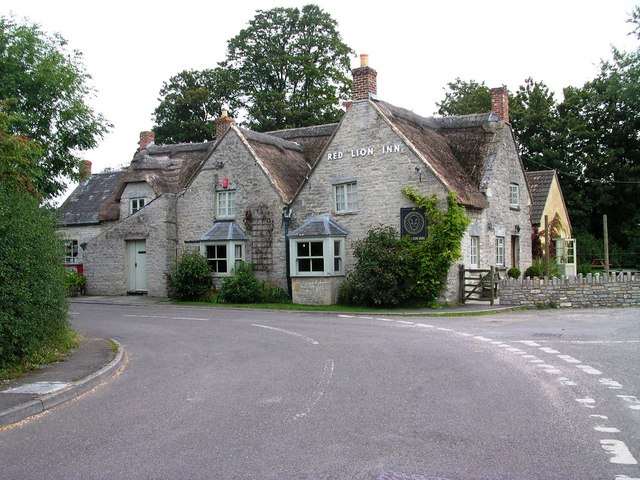
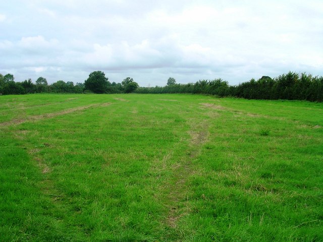
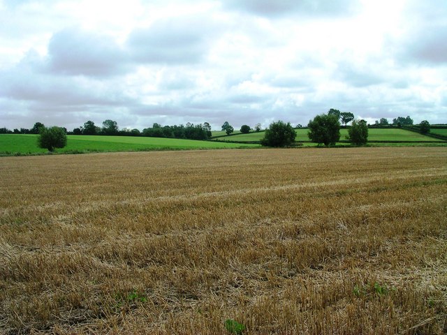
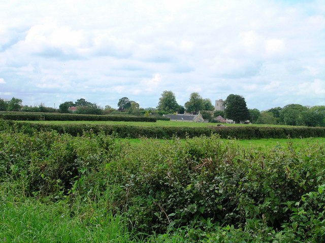
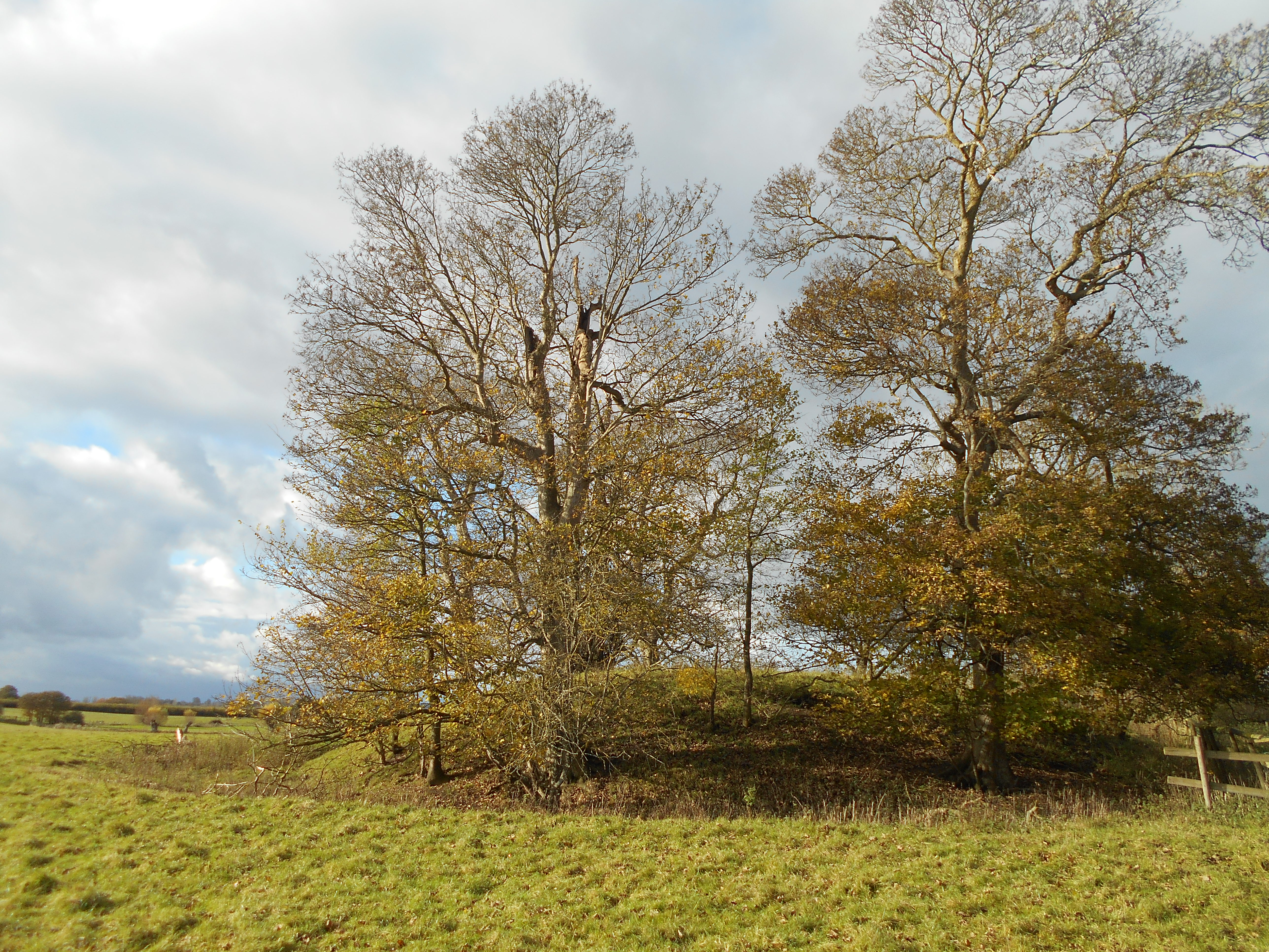
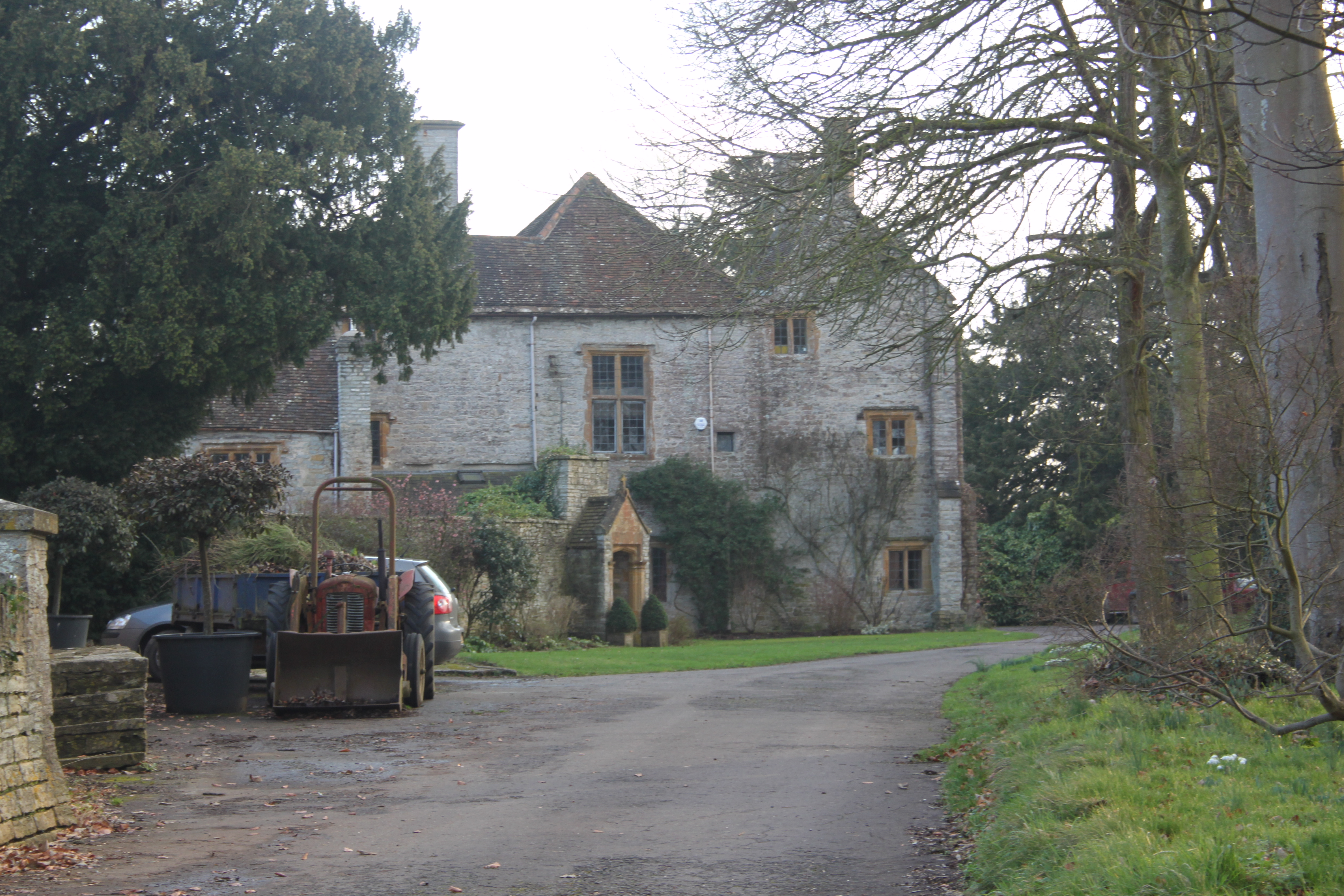
The village is characterized by its picturesque rural setting, surrounded by rolling hills and farmland. Babcary is known for its charming traditional cottages, many of which date back several centuries, giving it a timeless and quintessentially English atmosphere.

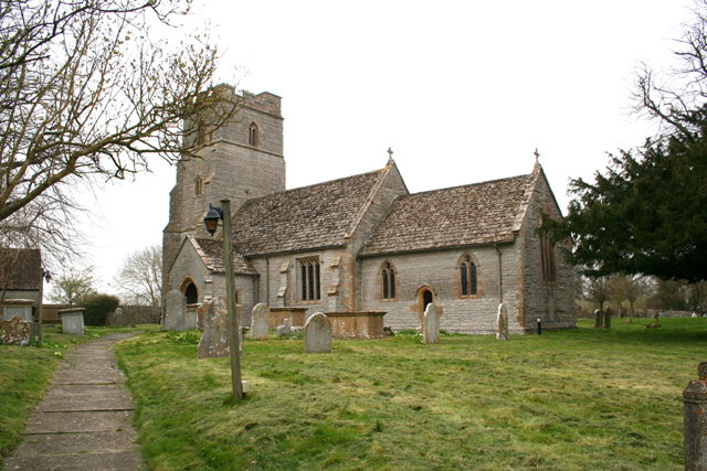
Despite its small size, Babcary has a strong sense of community and is home to a close-knit population. The village features a historic 12th-century church, St. Edburga's, which is a significant architectural landmark in the area.

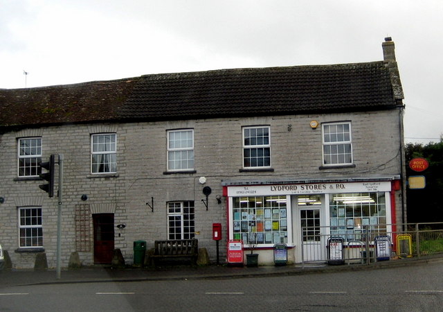
The village also benefits from a village hall, which serves as a hub for various community events and activities. Additionally, Babcary boasts a well-regarded primary school, providing education for local children.

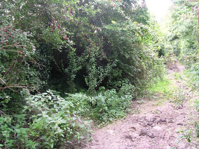
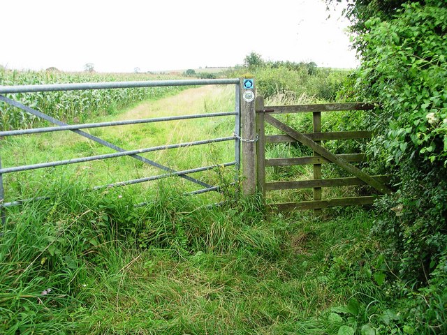
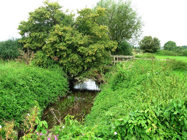
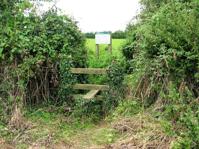
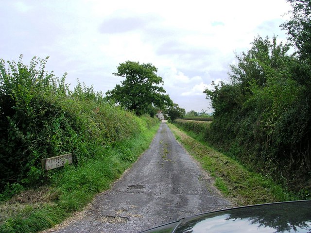
Surrounded by the beautiful Somerset countryside, Babcary offers ample opportunities for outdoor activities such as walking, cycling, and exploring nature. The village is also conveniently located for accessing nearby attractions, including the Somerset Levels, Glastonbury Tor, and the Mendip Hills.

In conclusion, Babcary is a charming and idyllic village in Somerset, known for its rural beauty, sense of community, and historic landmarks. It offers a peaceful and picturesque setting for residents and visitors alike.

If you have any feedback on the listing, please let us know in the comments section below.

Babcary Images

Images are sourced within 2km of 51.055941/-2.626218 or Grid Reference ST5628. Thanks to Geograph Open Source API. All images are credited.

Babcary Church Church of the Holy Cross.
Babcary Church
Church of the Holy Cross.
Railway Bridge across Common Lane Photograph taken from byway by Southmead Farm facing north
Railway Bridge across Common Lane
Photograph taken from byway by Southmead Farm facing north
Poultry farm from Common Lane Photo taken from Common Lane facing west towards farm buildings
Poultry farm from Common Lane
Photo taken from Common Lane facing west towards farm buildings
Road junction A37/Babcary Photo taken from easterly verge facing SSW
Road junction A37/Babcary
Photo taken from easterly verge facing SSW
Farmland from Babcary access road View across farmland from side of Babcary access road with Bush Farm beyond.
Farmland from Babcary access road
View across farmland from side of Babcary access road with Bush Farm beyond.
Bridleway (Westover Lane) Access View from road north up bridleway
Bridleway (Westover Lane) Access
View from road north up bridleway
Red Lion Inn Babcary Roadside view facing East. An old haunt!
Red Lion Inn Babcary
Roadside view facing East. An old haunt!
Ford over River Cary Ford at junction of Westover Lane/Ham's Lane (both public rights of way) and North Street
Ford over River Cary
Ford at junction of Westover Lane/Ham's Lane (both public rights of way) and North Street
Babcary Meadows View from footbridge across River Cary along public footpath across first of the fields that make up Babcary Meadows
Babcary Meadows
View from footbridge across River Cary along public footpath across first of the fields that make up Babcary Meadows
Lydford Lane View down Lydford Lane (Bridleway and Macmillan Way) at junction with public footpath back into Babcary Meadows
Lydford Lane
View down Lydford Lane (Bridleway and Macmillan Way) at junction with public footpath back into Babcary Meadows
Macmillan Way Stile on the Macmillan Way facing east
Macmillan Way
Stile on the Macmillan Way facing east
Bridge on Macmillan Way Bridge taking Macmillan Way over River Cary, taken from a position just off the public footpath to the south
Bridge on Macmillan Way
Bridge taking Macmillan Way over River Cary, taken from a position just off the public footpath to the south
Fields near Babcary View from public footpath SE towards small fold in the ground
Fields near Babcary
View from public footpath SE towards small fold in the ground
Stile access to Babcary Meadows Access point from farmland back into Babcary Meadows
Stile access to Babcary Meadows
Access point from farmland back into Babcary Meadows
Babcary Meadows along public footpath View SW down public footpath across Babcary Meadows
Babcary Meadows along public footpath
View SW down public footpath across Babcary Meadows
Fungus in footpath On the public footpath across Babcary Meadows, one of a few, but widely spread
Fungus in footpath
On the public footpath across Babcary Meadows, one of a few, but widely spread
Babcary Church across fields View from North Street Babcary across fields to Babcary Church
Babcary Church across fields
View from North Street Babcary across fields to Babcary Church
Little Steart House View from public road east along lane to Little Steart House
Little Steart House
View from public road east along lane to Little Steart House
Show me another place!

Babcary is located at Grid Ref: ST5628 (Lat: 51.055941, Lng: -2.626218)

Administrative County: Somerset

District: South Somerset

Police Authority: Avon and Somerset

What 3 Words

///soils.slim.awakening. Near Ilchester, Somerset

Nearby Locations

Babcary

Related Wikis

Church of the Holy Cross, Babcary

The Anglican Church of the Holy Cross in Babcary, Somerset, England, was built in the 14th century. It is a Grade II* listed building. == History == The...

Babcary

Babcary is a village and civil parish in Somerset, England, about 5 miles (8.0 km) east of Somerton and 6 miles (9.7 km) southwest of Castle Cary. The...

Wimble Toot

Wimble Toot is a burial mound or, possibly, a motte built near the village of Babcary, Somerset, England. It is a scheduled ancient monument with a list...

Babcary Meadows

Babcary Meadows (grid reference ST567293) is a 13.6 hectares (34 acres) biological Site of Special Scientific Interest north of Babcary in Somerset, notified...

Lydford-on-Fosse

Lydford-on-Fosse is a village and civil parish in the Mendip district of Somerset, England. The parish includes the village of West Lydford and hamlet...

Keinton Mandeville

Keinton Mandeville, commonly referred to as Keinton, is a village and civil parish in Somerset, England, situated on top of Combe Hill, 6 miles (9.7 km...

The Abbey, Charlton Adam

The Abbey is a Grade I listed building in Somerset, England. Built on the site of a 12th-century chapel, which might be incorporated in fragments, the...

Church of St Peter and St Paul, Charlton Adam

The Church of St Peter and St Paul at Charlton Adam in the parish of Charlton Mackrell, Somerset, England has 14th-century origins, however most of the...

Nearby Amenities

Located within 500m of 51.055941,-2.626218
Babcary
Place: village
Source: npe
Lat/Long: 51.0562191/-2.6251832
Post Box
Operator: Royal Mail
Operator Wikidata: Q638098
Post Box Type: wall
Lat/Long: 51.0558971/-2.6262987
Give Way
Direction: forward
Lat/Long: 51.0556496/-2.6225986
Parking
Lat/Long: 51.0552006/-2.6224743
Barrier: stile
Lat/Long: 51.0532719/-2.6259418
Barrier: stile
Lat/Long: 51.0529453/-2.6257921
Entrance: yes
Lat/Long: 51.0556422/-2.6223528
Entrance: main
Lat/Long: 51.0565709/-2.6271725
Defibrillator
Access: yes
Booth: K6
Covered: booth
Defibrillator Location: inside old red phone box in Babcary
Disused Amenity: telephone
Emergency: defibrillator
Man Made: telephone_box
Lat/Long: 51.055923/-2.6263868
The data included in this document is from www.openstreetmap.org. The data is made available under ODbL.

Have you been to Babcary?

Leave your review of Babcary below (or comments, questions and feedback).