Llyn Gloyw-bâch
Lake, Pool, Pond, Freshwater Marsh in Denbighshire
Wales
Llyn Gloyw-bâch

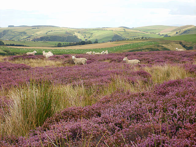
Llyn Gloyw-bâch is a small freshwater lake located in the county of Denbighshire, Wales. It is situated within the picturesque Clwydian Range and Dee Valley Area of Outstanding Natural Beauty. The lake is surrounded by rolling hills and lush greenery, offering visitors a serene and tranquil setting.
Covering an area of approximately 5 acres, Llyn Gloyw-bâch is relatively small but holds great natural beauty. The lake is fed by small streams and springs, ensuring a constant flow of freshwater. Its crystal-clear waters are home to a variety of aquatic plants and wildlife, making it a popular spot for nature enthusiasts and birdwatchers.
The surrounding area of Llyn Gloyw-bâch is a haven for wildlife, with an abundance of species calling it home. Bird species such as grebes, ducks, and swans can be spotted gliding across the lake's surface, while the surrounding reed beds provide shelter for smaller birds and waterfowl. In the summer months, the lake becomes a breeding ground for dragonflies and damselflies, adding to its natural charm.
The lake is also a popular destination for fishing enthusiasts, with a healthy population of coarse fish including roach, perch, and tench. Anglers can enjoy a peaceful day by the water's edge, casting their lines and appreciating the tranquil surroundings.
Llyn Gloyw-bâch offers a peaceful retreat for those seeking a break from the hustle and bustle of everyday life. Its natural beauty, diverse wildlife, and recreational opportunities make it a must-visit destination for nature lovers and outdoor enthusiasts alike.
If you have any feedback on the listing, please let us know in the comments section below.
Llyn Gloyw-bâch Images
Images are sourced within 2km of 52.91151/-3.2328858 or Grid Reference SJ1735. Thanks to Geograph Open Source API. All images are credited.


Llyn Gloyw-bâch is located at Grid Ref: SJ1735 (Lat: 52.91151, Lng: -3.2328858)
Unitary Authority: Wrexham
Police Authority: North Wales
What 3 Words
///engraving.fairy.pink. Near Llangollen, Denbighshire
Nearby Locations
Related Wikis
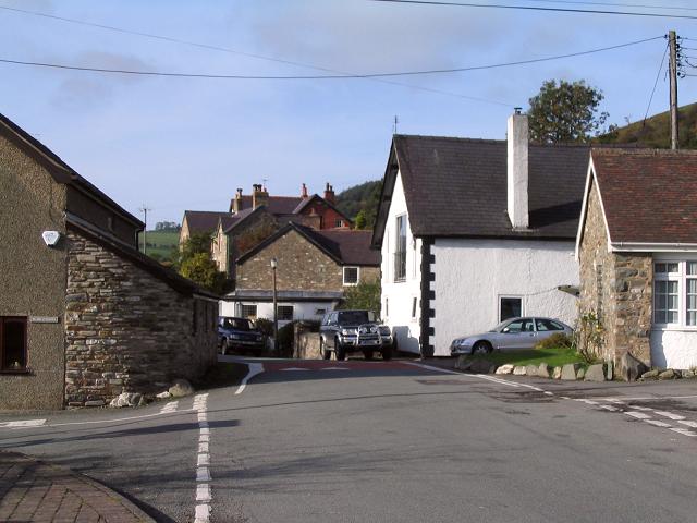
Tregeiriog
Tregeiriog (a Welsh name translating roughly as "settlement [on the] River Ceiriog") is a village in Wrexham County Borough, Wales. It is in the community...

Ceiriog Ucha
Ceiriog Ucha, also spelled as Ceiriog Uchaf (meaning "Upper Ceiriog"), is a community in Wrexham County Borough, Wales. The community lies in the Ceiriog...

Pandy, Ceiriog Valley
Pandy () is a hamlet in the Ceiriog Valley, Wrexham County Borough, Wales. It is located on the confluence of the River Ceiriog to the east, and the smaller...
Ceiriog Valley
The Ceiriog Valley (Welsh: Dyffryn Ceiriog) is the valley of the River Ceiriog in north-east Wales. Its Welsh name, "Dyffryn Ceiriog", is the name of an...
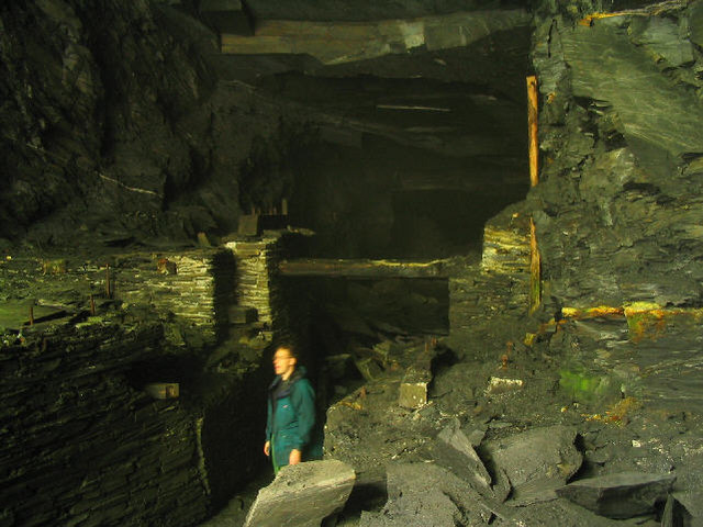
Cambrian quarry
The Cambrian quarry was a slate quarry, located to the west of Glyn Ceiriog in Denbighshire, North Wales. There was some small-scale extraction of slate...

Llanarmon Dyffryn Ceiriog
Llanarmon Dyffryn Ceiriog (; often referred to as Llanarmon DC or locally simply as Llanarmon) is a village in Wrexham County Borough, Wales. It lies on...
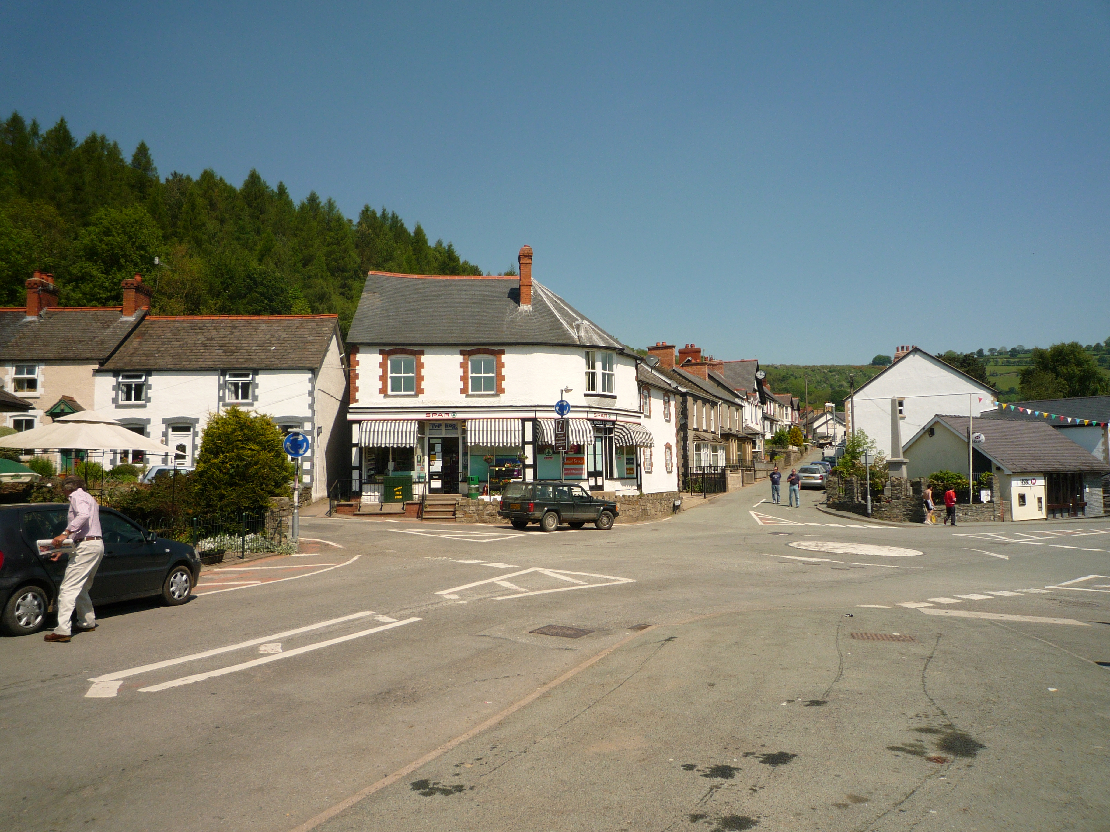
Glyn Ceiriog
Glyn Ceiriog (Welsh: Glynceiriog) is the principal settlement of the Ceiriog Valley and a community in Wrexham County Borough, north-east Wales. Glyn Ceiriog...
Rhufoniog
Rhufoniog was a small sub-kingdom of the Dark Ages Gwynedd, and later a cantref in medieval Wales. == Geography == The cantref Rhos lay between it and...
Nearby Amenities
Located within 500m of 52.91151,-3.2328858Have you been to Llyn Gloyw-bâch?
Leave your review of Llyn Gloyw-bâch below (or comments, questions and feedback).