Boat Hole of Spey
Lake, Pool, Pond, Freshwater Marsh in Morayshire
Scotland
Boat Hole of Spey

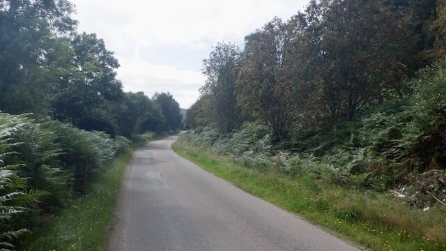
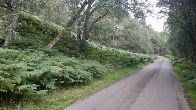
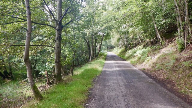
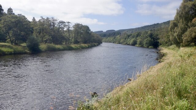
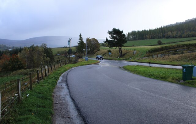
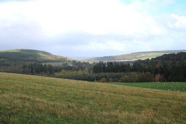
The Boat Hole of Spey is a picturesque freshwater marsh located in Morayshire, Scotland. Situated along the banks of the River Spey, it is renowned for its natural beauty and diverse ecosystem. The Boat Hole has been formed by the meandering flow of the river, which has created a serene and tranquil environment.
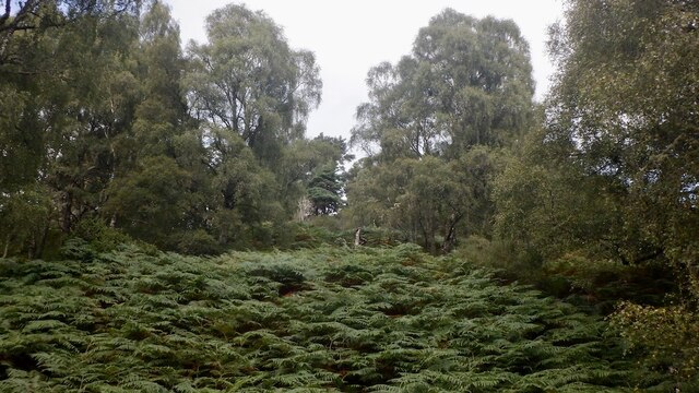
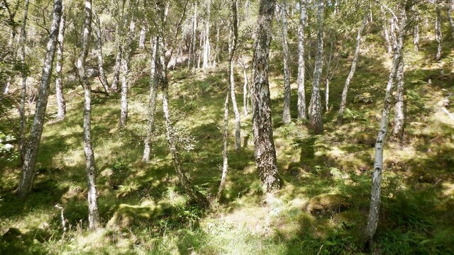
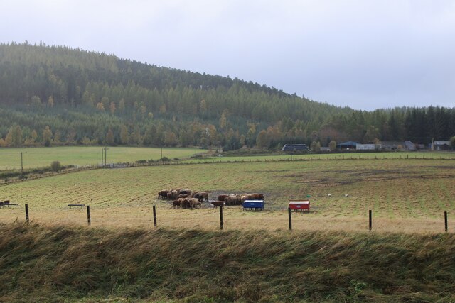
Covering an area of approximately 40 hectares, the Boat Hole consists of a combination of lakes, pools, ponds, and freshwater marshes. These water bodies are interconnected, providing a rich habitat for a wide range of plant and animal species. The marshland is adorned with lush vegetation, including reeds, grasses, and various types of wetland plants.
The Boat Hole is a haven for numerous bird species, making it a popular destination for birdwatchers. Visitors can spot a variety of waterfowl, such as swans, ducks, geese, and herons, as well as smaller birds like warblers and finches. The marsh also serves as a breeding ground for some rare and endangered species, contributing to its ecological significance.
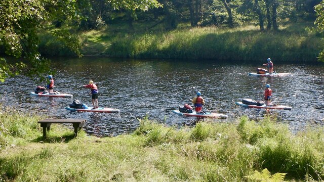
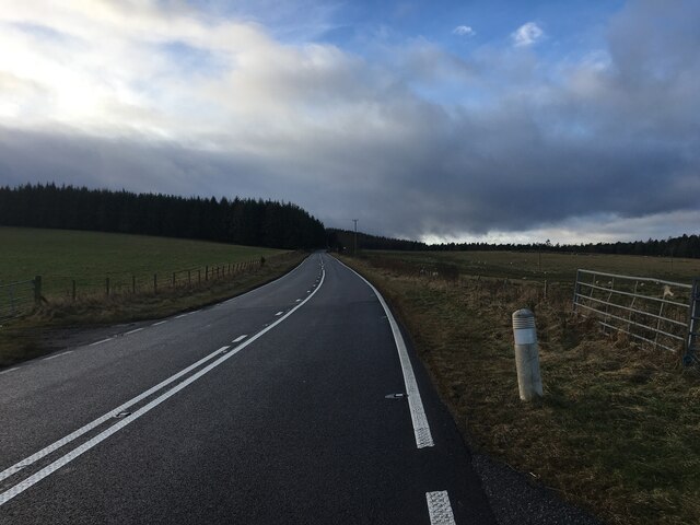
In addition to its natural beauty, the Boat Hole offers recreational opportunities for outdoor enthusiasts. Anglers frequent the area as it provides excellent fishing opportunities, with the River Spey being renowned for its salmon and trout. The tranquil surroundings also make it an ideal spot for peaceful walks and picnics, allowing visitors to immerse themselves in the serene ambiance of the marshland.
Overall, the Boat Hole of Spey is a remarkable freshwater marsh that showcases the beauty of Scotland's natural landscapes. Its diverse ecosystem, abundant birdlife, and recreational activities make it a must-visit destination for nature lovers and outdoor enthusiasts alike.
If you have any feedback on the listing, please let us know in the comments section below.
Boat Hole of Spey Images
Images are sourced within 2km of 57.413787/-3.3816571 or Grid Reference NJ1736. Thanks to Geograph Open Source API. All images are credited.


Boat Hole of Spey is located at Grid Ref: NJ1736 (Lat: 57.413787, Lng: -3.3816571)
Unitary Authority: Moray
Police Authority: North East
What 3 Words
///galloping.superhero.puzzle. Near Charlestown of Aberlour, Moray
Nearby Locations
Related Wikis

Ballindalloch Railway Bridge
The Ballindalloch Railway Bridge is a former railway bridge on the crossing the River Spey at Ballindalloch in Moray, Scotland. Built in 1863 as a part...

River Avon, Strathspey
The River Avon (locally “Aan” /ɑːn/) is a river in the Strathspey area of the Scottish Highlands, and a tributary of the River Spey. It drains the north...

Ballindalloch railway station
Ballindalloch railway station served the village of Ballindalloch, Banffshire, Scotland from 1863 to 1965 on the Strathspey Railway. == History == The...
Ballindalloch
Ballindalloch (Scottish Gaelic: Baile na Dalach) is a small village on the River Spey in Scotland. It is known for its whisky distilleries and for Ballindalloch...

Cragganmore distillery
Cragganmore distillery is a Scotch whisky distillery situated in the village of Ballindalloch in Banffshire, Scotland. == History == The distillery was...
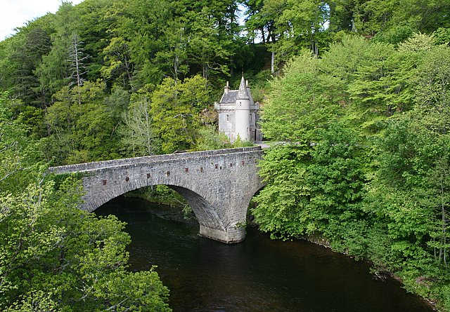
Bridge of Avon
The Bridge of Avon is a bridge over the River Avon at Ballindalloch in Moray, Scotland, built between 1800 and 1801 by George Burn. The bridge is mainly...

Tormore distillery
Tormore distillery is a Speyside single malt Scotch whisky distillery located approximately 1 km south of the River Spey. Its water source is the Allt...
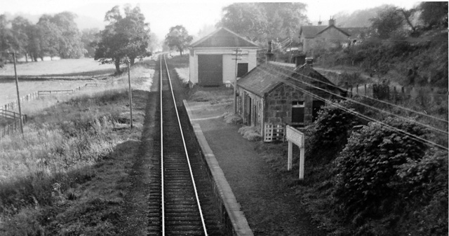
Blacksboat railway station
Blacksboat railway station served the village of Ballindalloch, Banffshire, Scotland from 1863 to 1965 on the Strathspey Railway. == History == The station...
Nearby Amenities
Located within 500m of 57.413787,-3.3816571Have you been to Boat Hole of Spey?
Leave your review of Boat Hole of Spey below (or comments, questions and feedback).