Persie Loch

Lake, Pool, Pond, Freshwater Marsh in Perthshire

Scotland

Persie Loch

Old Military Road north of Bridge of Cally
Old Military Road north of Bridge of Cally Credit: Mike Pennington

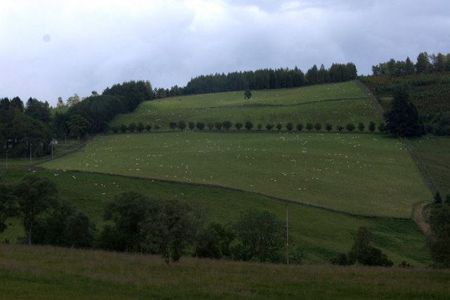
Persie Loch is a picturesque freshwater loch located in Perthshire, Scotland. Nestled amidst the stunning Perthshire countryside, this tranquil body of water covers an area of approximately 10 acres. Surrounded by lush greenery, the loch offers a serene and idyllic setting for visitors to enjoy.

The loch is known for its crystal-clear water, which is sourced from the surrounding hills and streams. This pristine water is home to a variety of aquatic life, including fish such as brown trout, perch, and pike. Anglers are often drawn to the loch for its excellent fishing opportunities.

Persie Loch is also a haven for birdwatchers, as it attracts numerous species of birds throughout the year. Visitors may spot mallards, tufted ducks, swans, and even the occasional heron or osprey. The surrounding marshes provide a rich habitat for wetland birds and other wildlife.

The loch itself is relatively shallow, with an average depth of around 3 meters. This makes it ideal for water activities such as kayaking and canoeing, as well as for leisurely boat trips. The tranquil atmosphere and breathtaking scenery make Persie Loch a popular spot for picnics and leisurely walks along its shores.

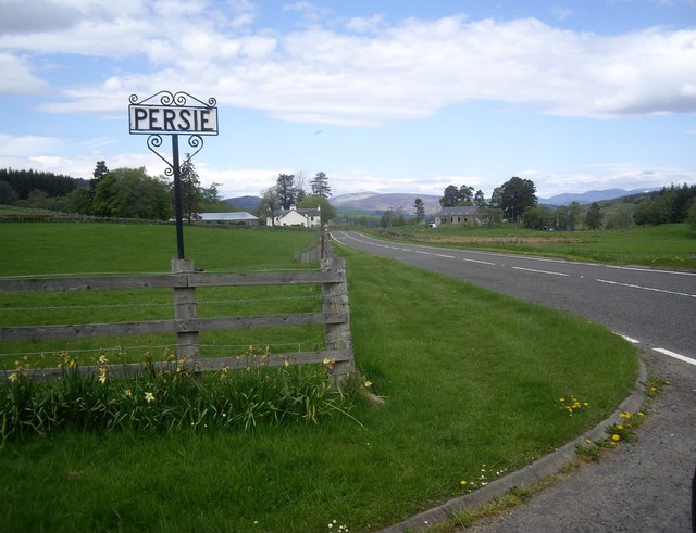
Located just a short distance from the village of Persie, the loch is easily accessible for visitors. Its proximity to other attractions in the area, such as the famous Glenshee ski resort and the picturesque town of Blairgowrie, make it a popular destination for both locals and tourists alike.

In conclusion, Persie Loch in Perthshire is a beautiful, diverse, and accessible freshwater loch that offers a range of recreational activities and a chance to immerse oneself in the stunning Scottish countryside.

If you have any feedback on the listing, please let us know in the comments section below.

Persie Loch Images

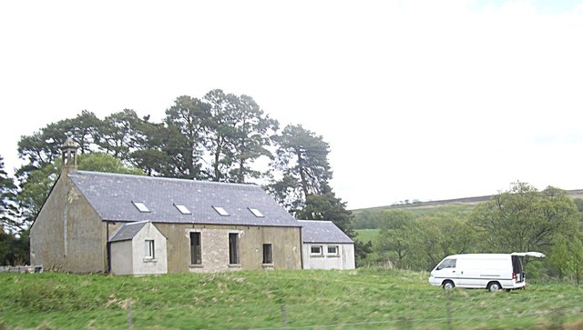
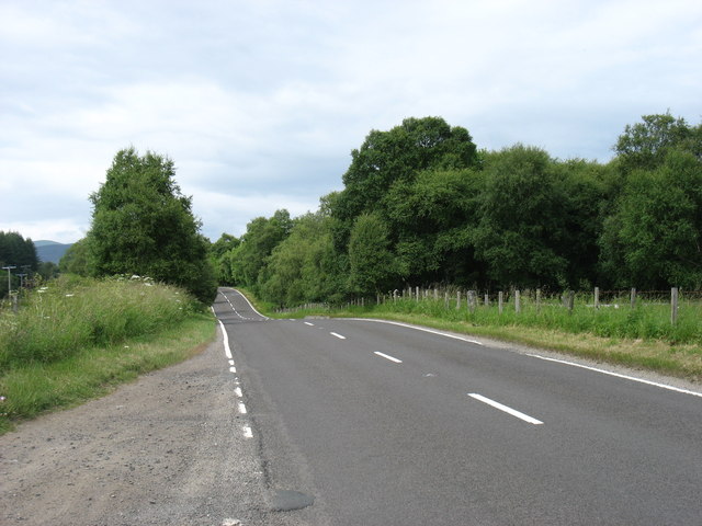
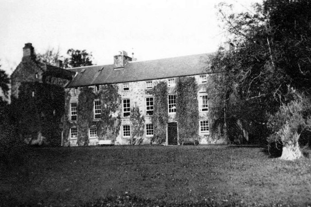
Images are sourced within 2km of 56.678793/-3.413241 or Grid Reference NO1355. Thanks to Geograph Open Source API. All images are credited.

Old Military Road north of Bridge of Cally
The valley of the Black Water north of Bridge of Cally
Roadside lupins, north of Bridge of Cally A native of North America, a common garden plant and quite happy as a naturalised plant in many areas.
Roadside lupins, north of Bridge of Cally
A native of North America, a common garden plant and quite happy as a naturalised plant in many areas.
Ashmore House, Netherton From across the valley of the Black Water.
Ashmore House, Netherton
From across the valley of the Black Water.
Mains of Persie The Hill of Persie is in the background.
Mains of Persie
The Hill of Persie is in the background.
Fields at Stronetic, north of Bridge of Cally
Black Water near Blacklunans Looking upstream from Dalrulzion Bridge.
Black Water near Blacklunans
Looking upstream from Dalrulzion Bridge.
Black Water near Blacklunans Looking downstream from Dalrulzion Bridge.
Black Water near Blacklunans
Looking downstream from Dalrulzion Bridge.
Disused Church awaiting conversion, Persie
A93 by the Bridge of Dalrulzion
Disused church, Persie Has the money run out? It looks as if this conversion has stopped for at least 2yrs <a title="https://www.geograph.org.uk/photo/2917985" href="https://www.geograph.org.uk/photo/2917985">Link</a>
Disused church, Persie
Has the money run out? It looks as if this conversion has stopped for at least 2yrs Link
A93 heading north up Glenshee Here from the access junction for Persie House; with the disused Persie Church ahead right.
A93 heading north up Glenshee
Here from the access junction for Persie House; with the disused Persie Church ahead right.
A former church building by the A93 at Persie Some progress with conversion seems to have taken place since photographed in 2010 <a href="https://www.geograph.org.uk/photo/2917985">NO1454 : Disused Church awaiting conversion, Persie</a>.
A former church building by the A93 at Persie
Some progress with conversion seems to have taken place since photographed in 2010 NO1454 : Disused Church awaiting conversion, Persie.
Junction for Alyth off A93 Near Bridge of Dalrulzion.
Junction for Alyth off A93
Near Bridge of Dalrulzion.
The A93 heading north
View towards the Hill of Persie
Old Military Road below the Hill of Persie
Milton Falls at Bridge of Dalrulzion The put-in for the Black Water at Bridge of Dalruzion gives little opportunity for the paddler to warm up before tackling the series of drops known as Milton Falls, a good grade 4 with some pinning potential if one misses the best line. Hitting the third drop near the centre, heading strongly to the right, gains the boily eddy directly in front of the photographer, from where strong forward paddling powers the boat through the meaty stopper at the bottom of the chute on river right and into calmer water. A less committed run into the chute tends to result in getting backlooped, but the stopper doesn't hold a capsized paddler. Failing to get into the eddy tends to leave the paddler frantically bracing on the eddy line as he is carried towards the more obvious drop left of the big rock. Mostly this is going to be fine, but the plunge pool is not so deep and (particularly in lower water levels) boats have been pinned here. Water levels in this picture are medium to high, and rising (the water came up half a metre in the hour or two it took this group, who hadn't run the river before and were being cautious, to make their way down to Netherton).
Milton Falls at Bridge of Dalrulzion
The put-in for the Black Water at Bridge of Dalruzion gives little opportunity for the paddler to warm up before tackling the series of drops known as Milton Falls, a good grade 4 with some pinning potential if one misses the best line. Hitting the third drop near the centre, heading strongly to the right, gains the boily eddy directly in front of the photographer, from where strong forward paddling powers the boat through the meaty stopper at the bottom of the chute on river right and into calmer water. A less committed run into the chute tends to result in getting backlooped, but the stopper doesn't hold a capsized paddler. Failing to get into the eddy tends to leave the paddler frantically bracing on the eddy line as he is carried towards the more obvious drop left of the big rock. Mostly this is going to be fine, but the plunge pool is not so deep and (particularly in lower water levels) boats have been pinned here. Water levels in this picture are medium to high, and rising (the water came up half a metre in the hour or two it took this group, who hadn't run the river before and were being cautious, to make their way down to Netherton).
Show me another place!

Persie Loch is located at Grid Ref: NO1355 (Lat: 56.678793, Lng: -3.413241)

Unitary Authority: Perth and Kinross

Police Authority: Tayside

What 3 Words

///aware.household.solar. Near Blairgowrie, Perth & Kinross

Nearby Locations

Persie Loch

Related Wikis

Blackcraig Castle

Blackcraig Castle is a Baronial mansion house dating from 1856 in Perthshire, Scotland, close to the towns of Ballintuim and Blairgowrie on the banks of...

Bridge of Cally

Bridge of Cally is a small village in Kirkmichael parish, Perth and Kinross, Scotland. It sits at the junction of three glens, Glenshee, Strathardle and...

River Ardle

The River Ardle (Scottish Gaelic: Abhainn Àrdail) is a tributary of the River Ericht. It runs for 10 miles (16 km) through Strathardle in Perthshire, Scotland...

Ashintully Castle

Ashintully Castle, located near Kirkmichael, north of Blairgowrie, in the county of Perthshire Scotland, was built in 1583 as a fortified tower house by...

Nearby Amenities

Located within 500m of 56.678793,-3.413241
Saw mill
1860name: Mains of Persey saw mill
Pont: no
Stobie1783: no
Designation: Historic mill
Historic: archaeological_site
Source: OS Six inch 2nd series
Lat/Long: 56.6806452/-3.4140893
Persie
Name Gd: Parsaidh
Place: isolated_dwelling
Lat/Long: 56.6777538/-3.4124349
Power: pole
Lat/Long: 56.6800473/-3.4173265
Power: pole
Lat/Long: 56.6792402/-3.4165181
Power: pole
Lat/Long: 56.6786229/-3.4158622
Power: pole
Lat/Long: 56.6781691/-3.4154233
Power: pole
Lat/Long: 56.6776259/-3.414857
Power: pole
Lat/Long: 56.6774367/-3.4148255
Power: pole
Lat/Long: 56.6773591/-3.4134155
Power: pole
Lat/Long: 56.6770903/-3.4120256
Power: pole
Lat/Long: 56.6766538/-3.4107644
Power: pole
Lat/Long: 56.67613/-3.4102649
Power: pole
Lat/Long: 56.6755673/-3.409763
Power: pole
Lat/Long: 56.675329/-3.4085446
Persie Distillery
Craft: distillery
Website: https://www.persiedistillery.com/
Lat/Long: 56.6780366/-3.4122708
The data included in this document is from www.openstreetmap.org. The data is made available under ODbL.

Have you been to Persie Loch?

Leave your review of Persie Loch below (or comments, questions and feedback).