The Rake

Lake, Pool, Pond, Freshwater Marsh in Cumberland Allerdale

England

The Rake

The Towers, Cockermouth 19th Century house, divided into two apartments.
The Towers, Cockermouth Credit: Oliver Dixon

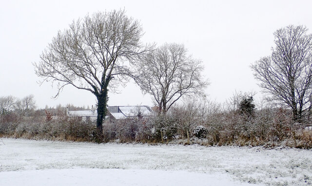
The Rake is a picturesque body of water situated in Cumberland, a scenic region known for its natural beauty in the northwest of England. It can be classified as a lake, pool, pond, or freshwater marsh, as its characteristics encompass elements of all these water formations.

Spanning an area of approximately 10 acres, The Rake offers a serene and tranquil environment for both locals and visitors seeking respite from the bustling city life. Its crystal-clear waters are fed by several natural springs that originate from the nearby hills, ensuring a constant flow of fresh water throughout the year.

Surrounded by lush vegetation and dense forests, The Rake serves as a vital habitat for a diverse array of flora and fauna. The marshy areas surrounding the water are home to numerous species of aquatic plants, providing a crucial breeding ground for various waterfowl and amphibians.

The Rake also offers ample opportunities for recreational activities such as fishing and boating. Anglers frequent the lake to try their luck in catching various freshwater fish species, including pike, perch, and roach. With its calm and peaceful ambiance, The Rake is an ideal spot for boating enthusiasts to leisurely explore the scenic surroundings or simply relax on the water.

Visitors to The Rake can enjoy the breathtaking views of the lake from the designated viewing points, which offer panoramic vistas of the surrounding countryside. The tranquil atmosphere and natural beauty of The Rake make it a popular destination for nature lovers and those seeking solace amidst the serene landscapes of Cumberland.

If you have any feedback on the listing, please let us know in the comments section below.
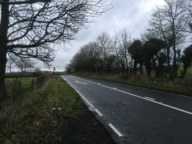
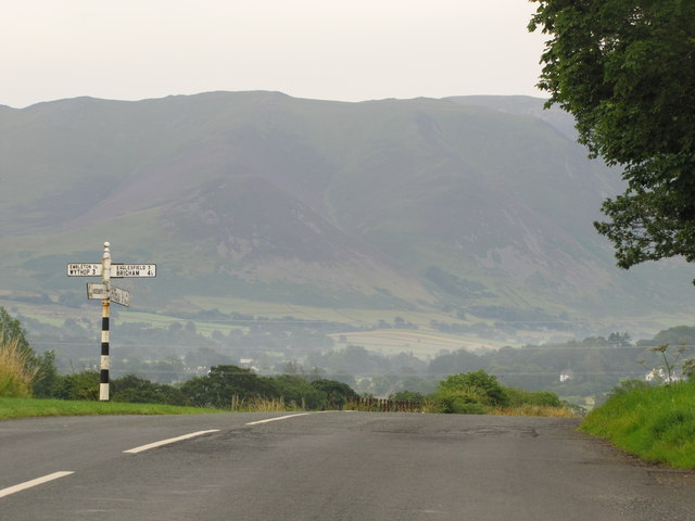
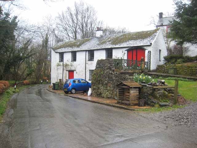
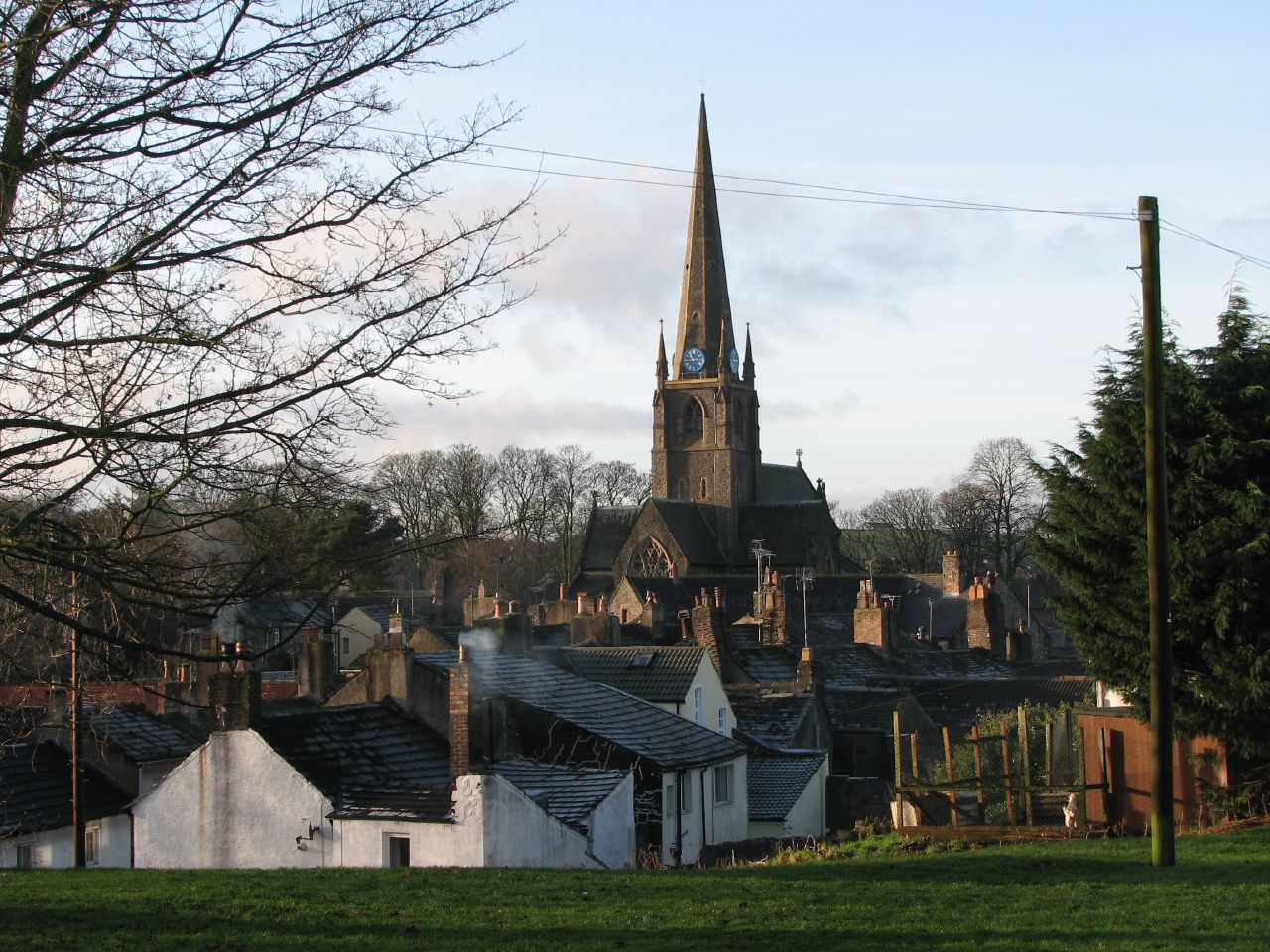
The Rake Images

Images are sourced within 2km of 54.640986/-3.3489479 or Grid Reference NY1328. Thanks to Geograph Open Source API. All images are credited.

The Towers, Cockermouth 19th Century house, divided into two apartments.
The Towers, Cockermouth
19th Century house, divided into two apartments.
A66 at Simonscales Lane overbridge
A66 eastbound near Grayson Side
A66 at Strawberry How Road overbridge
Mirk Lane heading north-east The minor public road, north of Fellbarrow, with a light snow covering following the crossing of Storm Arwen the night before.
Mirk Lane heading north-east
The minor public road, north of Fellbarrow, with a light snow covering following the crossing of Storm Arwen the night before.
House at Greentrees Greentrees with a light snow covering on the ground and with flakes still falling on the day after the passing of the weather event, Storm Arwen.
House at Greentrees
Greentrees with a light snow covering on the ground and with flakes still falling on the day after the passing of the weather event, Storm Arwen.
Southwaite Green beyond hedge The River Cocker flows nearby and is crossed by Southwaite Bridge. Several nearby properties use the Southwaite name including the one in the image.
Southwaite Green beyond hedge
The River Cocker flows nearby and is crossed by Southwaite Bridge. Several nearby properties use the Southwaite name including the one in the image.
Walking a snow-covered road The individual is walking west along a road south of Cockermouth. Light snow began to fall in the morning following the passing overnight of Storm Arwen, and was still falling as the image was made.
Walking a snow-covered road
The individual is walking west along a road south of Cockermouth. Light snow began to fall in the morning following the passing overnight of Storm Arwen, and was still falling as the image was made.
Hedge and trees at The Old Homestead A 'red sky in the morning' seen from The Old Homestead which is a large barn conversion at Byerstead, in use as holiday accommodation.
Hedge and trees at The Old Homestead
A 'red sky in the morning' seen from The Old Homestead which is a large barn conversion at Byerstead, in use as holiday accommodation.
Walking party passing Hundith Hill Hotel The party is walking along Hundith Hill Road having just passed the Hotel and also Hundith Hill Farm. Snow was falling and accumulating on frozen surfaces.
Walking party passing Hundith Hill Hotel
The party is walking along Hundith Hill Road having just passed the Hotel and also Hundith Hill Farm. Snow was falling and accumulating on frozen surfaces.
Farm track near Simonscales Bridge Short farm track near Simonscales Bridge which leads to  grassy fields.
Farm track near Simonscales Bridge
Short farm track near Simonscales Bridge which leads to grassy fields.
A5086 near Cockermouth
A66 and A5086 from the grounds of Premier Inn, Cockermouth
Direction Sign – Signpost on Lorton Road, Cockermouth Located on the southwest side of the junction of the B5292 Lorton Road and Strawberry How Road in Cockermouth parish. 1 arm and pawn finial.

Milestone Society National ID: CU_NY1229
Direction Sign – Signpost on Lorton Road, Cockermouth
Located on the southwest side of the junction of the B5292 Lorton Road and Strawberry How Road in Cockermouth parish. 1 arm and pawn finial. Milestone Society National ID: CU_NY1229
Direction Sign - Signpost Located on the north side of the junction at Randle Cross, in Blindbothel parish. 1 arm and pawn finial. See also <span class="nowrap"><a title="http://www.geog.port.ac.uk/webmap/thelakes/photos/bwc51.jpg" rel="nofollow ugc noopener" href="http://www.geog.port.ac.uk/webmap/thelakes/photos/bwc51.jpg">Link</a><img style="margin-left:2px;" alt="External link" title="External link - shift click to open in new window" src="https://s1.geograph.org.uk/img/external.png" width="10" height="10"/></span> and <a title="https://www.geograph.org.uk/photo/78535" href="https://www.geograph.org.uk/photo/78535">Link</a>.

Milestone Society National ID: CU_NY1127
Direction Sign - Signpost
Located on the north side of the junction at Randle Cross, in Blindbothel parish. 1 arm and pawn finial. See also LinkExternal link and Link. Milestone Society National ID: CU_NY1127
High Stanger Farm On the western edge of the English Lake District
High Stanger Farm
On the western edge of the English Lake District
Stanger Spa This derelict building in the English Lake District houses a small well, which is marked on the Ordnance Survey Map as a Holy Well, and is known as Stanger Spa.
Stanger Spa
This derelict building in the English Lake District houses a small well, which is marked on the Ordnance Survey Map as a Holy Well, and is known as Stanger Spa.
Crossroads in Cumbria A junction on the B5292 Cockermouth to Lorton Road.
Crossroads in Cumbria
A junction on the B5292 Cockermouth to Lorton Road.
Show me another place!

The Rake is located at Grid Ref: NY1328 (Lat: 54.640986, Lng: -3.3489479)

Administrative County: Cumbria

District: Allerdale

Police Authority: Cumbria

What 3 Words

///complies.glorious.growth. Near Cockermouth, Cumbria

Nearby Locations

The Rake Roundclose Hill

Related Wikis

Blindbothel

Blindbothel is a village and civil parish in Cumbria, England. It is on the edge of the Lake District National Park, and is a couple of miles south of...

Armaside

Armaside is an agricultural village in Cumbria, England, situated north of Low Lorton, south west of the River Cocker, and south east from Cockermouth...

Cockermouth railway station

Cockermouth railway station was situated on the Cockermouth, Keswick and Penrith Railway and served the town of Cockermouth, Cumbria, England. The station...

Cockermouth

Cockermouth is a market town and civil parish in the Cumberland unitary area of Cumbria, England, so named because it is at the confluence of the River...

Nearby Amenities

Located within 500m of 54.640986,-3.3489479
Southwaite
Place: hamlet
Source: npe
Wikidata: Q7571106
Wikipedia: en:Southwaite
Lat/Long: 54.6410141/-3.3508211
Source: estimate
Lat/Long: 54.642713/-3.3479445
Source: estimate
Lat/Long: 54.6428055/-3.348543
Barrier: stile
Foot: yes
Lat/Long: 54.6437713/-3.3511887
Barrier: stile
Lat/Long: 54.6427566/-3.3457821
Abbeygate
Place: locality
Lat/Long: 54.6379229/-3.3526909
Power: pole
Lat/Long: 54.6415409/-3.3427947
Power: pole
Lat/Long: 54.6420426/-3.3444781
Power: pole
Lat/Long: 54.6427905/-3.3456124
Power: pole
Lat/Long: 54.643475/-3.3466617
Power: pole
Lat/Long: 54.6442029/-3.3477677
Power: pole
Lat/Long: 54.6448859/-3.3488152
Power: pole
Lat/Long: 54.6444549/-3.3491654
Power: pole
Lat/Long: 54.6435828/-3.3498217
Power: pole
Lat/Long: 54.6429264/-3.3503322
Power: pole
Lat/Long: 54.6420719/-3.3504315
Power: pole
Lat/Long: 54.6412338/-3.3505287
Power: pole
Lat/Long: 54.6373171/-3.353393
The data included in this document is from www.openstreetmap.org. The data is made available under ODbL.

Have you been to The Rake?

Leave your review of The Rake below (or comments, questions and feedback).