Pitkeathly Loch

Lake, Pool, Pond, Freshwater Marsh in Perthshire

Scotland

Pitkeathly Loch

Power line, Dumbuils Between Perth and Kincardine on Forth.
Power line, Dumbuils Credit: Richard Webb

Pitkeathly Loch is a picturesque freshwater loch located in Perthshire, Scotland. Nestled amidst the rolling hills and lush greenery, this natural beauty is a popular destination for locals and tourists alike. The loch covers an area of approximately 15 acres and is surrounded by a mix of woodland and open meadows.

The loch itself is a tranquil body of water, often described as a pool or pond due to its small size. It boasts crystal-clear, calm waters that reflect the surrounding landscape, creating stunning views throughout the year. The banks of the loch are lined with reeds and other aquatic vegetation, adding to its natural charm.

Pitkeathly Loch is not only a scenic spot but also a haven for wildlife. The freshwater marsh that surrounds the loch provides a thriving habitat for a variety of species. Bird enthusiasts will be delighted to spot a range of waterfowl, including swans, ducks, and geese, as well as smaller birds like reed warblers and sedge warblers. The loch is also home to an abundance of fish, making it a popular spot for anglers.

Visitors to Pitkeathly Loch can enjoy a peaceful walk along the well-maintained footpath that encircles the water's edge, offering panoramic views and opportunities for wildlife observation. There are also picnic areas dotted around, where visitors can relax and soak up the tranquility of the surroundings.

Overall, Pitkeathly Loch is a hidden gem in Perthshire, offering a serene escape from the hustle and bustle of everyday life, with its stunning scenery, rich biodiversity, and peaceful ambiance.

If you have any feedback on the listing, please let us know in the comments section below.

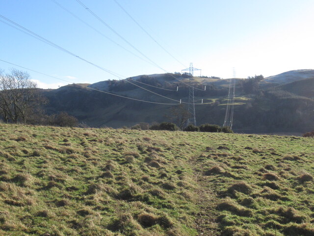
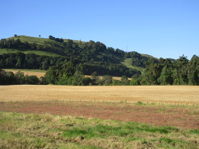
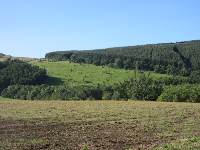
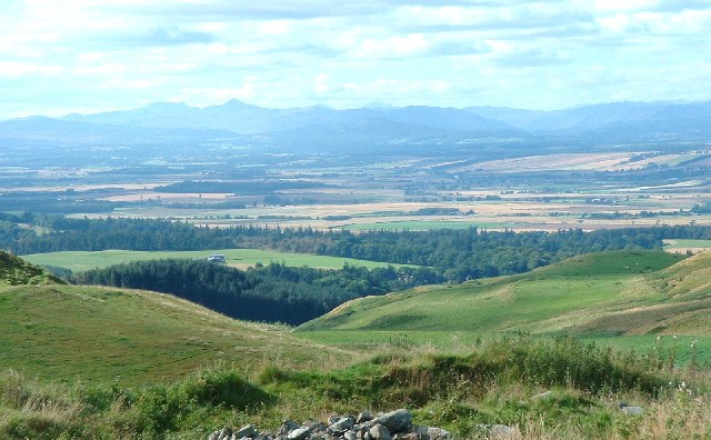
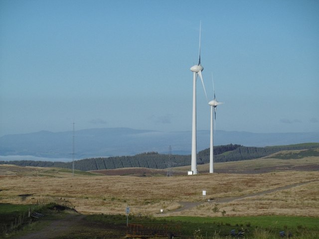
Pitkeathly Loch Images

Images are sourced within 2km of 56.316185/-3.4405097 or Grid Reference NO1014. Thanks to Geograph Open Source API. All images are credited.

Power line, Dumbuils Between Perth and Kincardine on Forth.
Power line, Dumbuils
Between Perth and Kincardine on Forth.
Barley field near Pitkeathly Looking south-west over a field of barley near Pitkeathly, with Glenearn Hill beyond.
Barley field near Pitkeathly
Looking south-west over a field of barley near Pitkeathly, with Glenearn Hill beyond.
West Dron Hill Sheep scattered along the north-eastern slope of West Dron Hill.
West Dron Hill
Sheep scattered along the north-eastern slope of West Dron Hill.
Westhall Hill (and Strathearn) Photo taken from western earthworks (foreground) of hill fort lying northeast of Culteuchar Hill. General view of Westhall Hill on right and looking west up Strathearn.  Pointed summit of Ben Vorlich (Loch Earn) on the horizon.
Westhall Hill (and Strathearn)
Photo taken from western earthworks (foreground) of hill fort lying northeast of Culteuchar Hill. General view of Westhall Hill on right and looking west up Strathearn. Pointed summit of Ben Vorlich (Loch Earn) on the horizon.
Farm Road to Westhall
Unnamed Lochan in Wood
Track through the Forest The road on the hill to the east appears to be new and is not marked on either the 1:50,000 or 1:25,000 maps.
Track through the Forest
The road on the hill to the east appears to be new and is not marked on either the 1:50,000 or 1:25,000 maps.
Unnamed Burn in the Forest
Castle Hill cairn The cairn is built in the centre of concentric trenches and banks which mark the location of a hill fort. The trig point on Culteuchar Hill can just be seen on the horizon.
Castle Hill cairn
The cairn is built in the centre of concentric trenches and banks which mark the location of a hill fort. The trig point on Culteuchar Hill can just be seen on the horizon.
Hill sheep Sheep on the southern slopes of Westhall Hill.
Hill sheep
Sheep on the southern slopes of Westhall Hill.
Westhall Farm With the hill from which it takes its name behind it.
Westhall Farm
With the hill from which it takes its name behind it.
Heads or tails A Highland bull keeps a wary eye on the Geographer while all the sheep ignore him.
Heads or tails
A Highland bull keeps a wary eye on the Geographer while all the sheep ignore him.
Hill Fort at Castle Law Ancient hill fort viewed from the flank of Culteuchar Hill shows the several layers of defensive ditches.
Hill Fort at Castle Law
Ancient hill fort viewed from the flank of Culteuchar Hill shows the several layers of defensive ditches.
Down from Castle Law towards Culteuchar Farm. Perthshire scene in springtime
Down from Castle Law towards Culteuchar Farm.
Perthshire scene in springtime
Turbines, Lochelbank By today's standards these are small turbines and relatively well hidden in views.
Turbines, Lochelbank
By today's standards these are small turbines and relatively well hidden in views.
Lochelbank wind farm A pair of turbines and now shrunken forestry plantation.
Lochelbank wind farm
A pair of turbines and now shrunken forestry plantation.
Field, Lochelbank Sometimes you can look in other directions from the wind turbines.
Field, Lochelbank
Sometimes you can look in other directions from the wind turbines.
Cairn Geddes Possible Bronze Age site - a stone coffin was once found here, (glenfarg.org).
Cairn Geddes
Possible Bronze Age site - a stone coffin was once found here, (glenfarg.org).
Show me another place!

Pitkeathly Loch is located at Grid Ref: NO1014 (Lat: 56.316185, Lng: -3.4405097)

Unitary Authority: Perth and Kinross

Police Authority: Tayside

What 3 Words

///sizing.freezers.mostly. Near Bridge of Earn, Perth & Kinross

Nearby Locations

Pitkeathly Loch

Related Wikis

Pitkeathly Wells

Pitkeathly Wells (spelling variants: Pitcaithly, Pitceathly, Pitkethley, etc.) is a hamlet in the Perth and Kinross area of Scotland, famed for its mineral...

Kilgraston School

Kilgraston School is a Scottish private boarding and day school offering primary school education for boys and girls aged from five to twelve years old...

Abbots Deuglie

Abbots Deuglie () is a hamlet in Perth and Kinross, Scotland. It is located in the Ochil Hills, in Arngask parish, about one mile (1.5 km) west of Glenfarg...

Bridge of Earn railway station

Bridge of Earn railway station served the town of Bridge of Earn, Perthshire, Scotland from 1848 to 1965 on the Edinburgh and Northern Railway. == History... ==

Nearby Amenities

Located within 500m of 56.316185,-3.4405097
Pitkeathly Hill
Natural: peak
Lat/Long: 56.3191856/-3.4403493
The data included in this document is from www.openstreetmap.org. The data is made available under ODbL.

Have you been to Pitkeathly Loch?

Leave your review of Pitkeathly Loch below (or comments, questions and feedback).