Grade

Settlement in Cornwall

England

Grade

Fields near Lizard village
Fields near Lizard village Credit: Matthew Chadwick

Grade, Cornwall is a small village located in the southwestern part of England, specifically in the county of Cornwall. It is situated approximately 7 miles west of Penzance, a popular tourist destination known for its stunning coastal scenery.

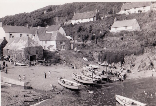
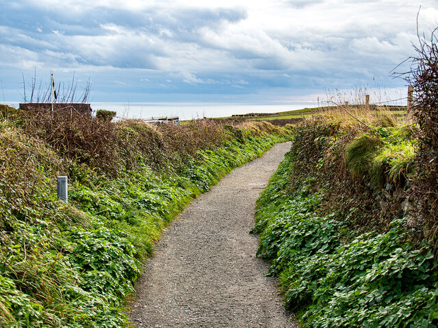
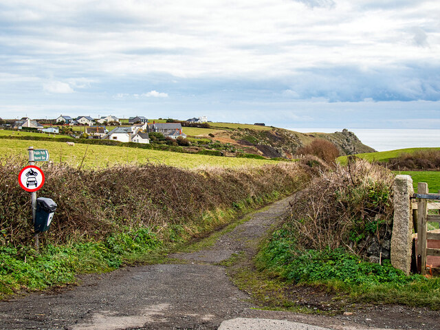
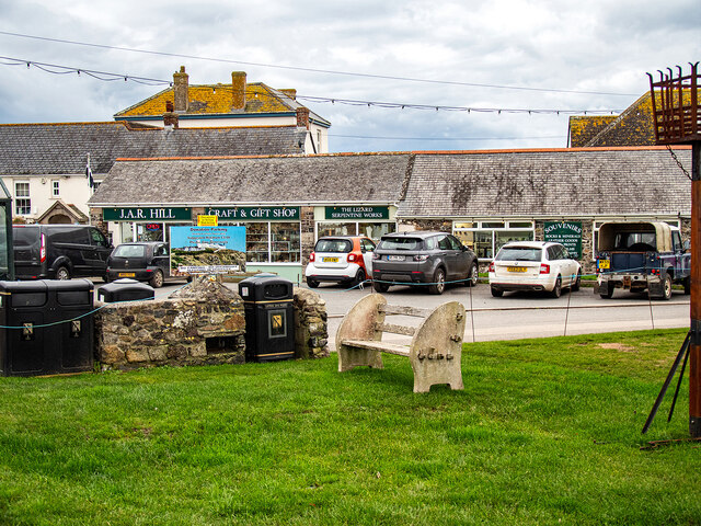
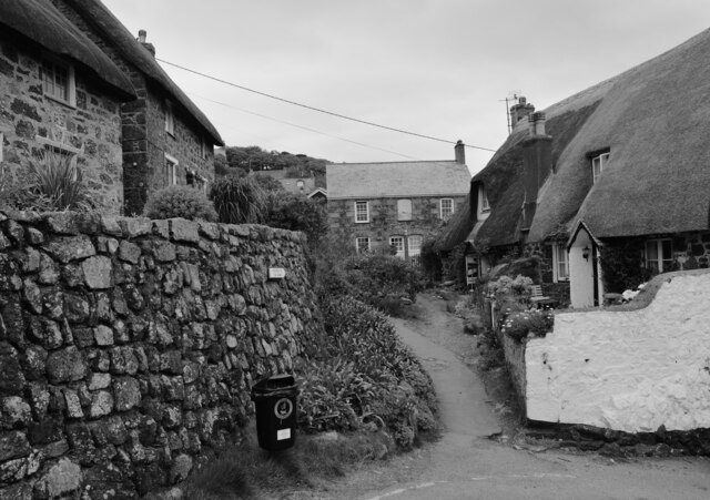
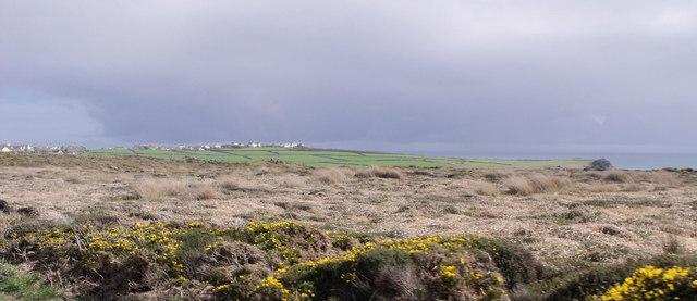
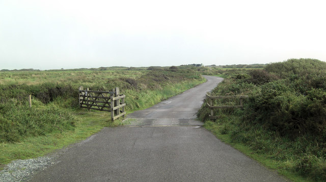
Grade is known for its picturesque charm and rural beauty. The village is surrounded by rolling hills, lush green fields, and stunning landscapes, making it an ideal destination for nature lovers and those seeking a peaceful retreat. The area is also home to several farms and agricultural land, adding to the village's bucolic ambiance.

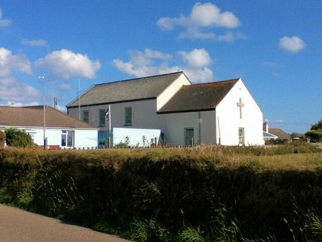
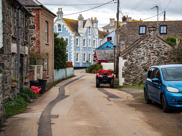
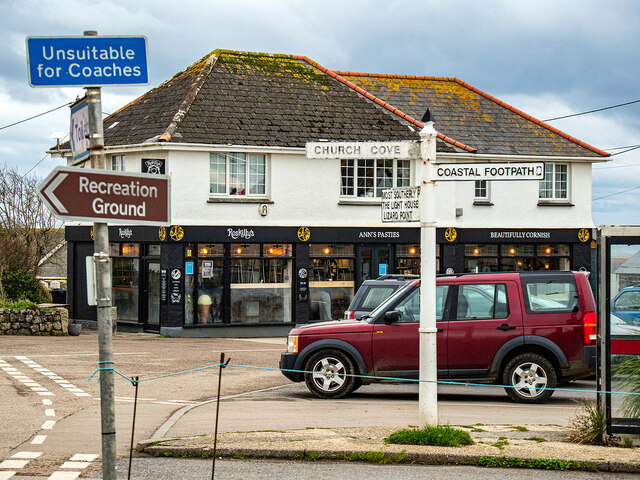
In terms of amenities, Grade offers a few local shops and services, including a post office and a small convenience store, catering to the needs of residents and visitors alike. The village also boasts a charming village hall, which serves as a focal point for community events and gatherings.

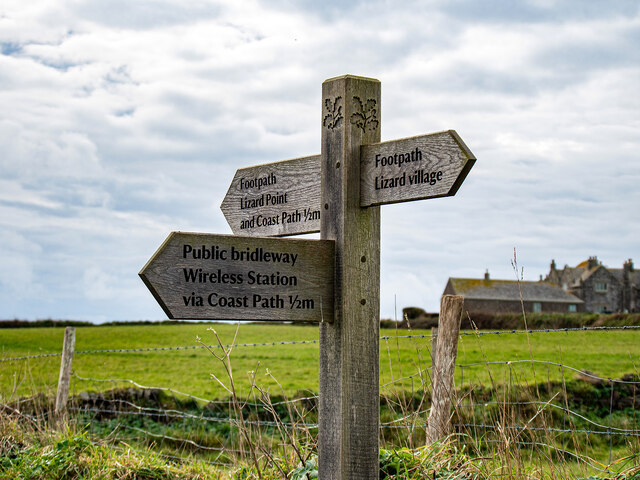
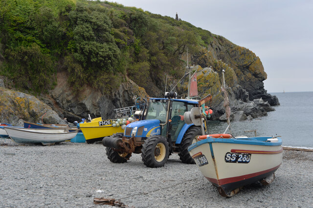
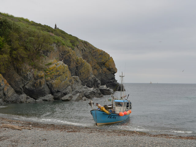
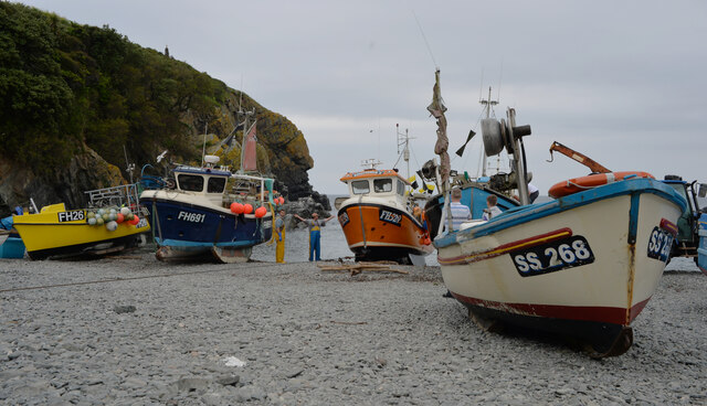
One of the highlights of Grade is its close proximity to the stunning coastline of Cornwall. Just a short drive away, visitors can explore beautiful sandy beaches, rugged cliffs, and hidden coves. Notable nearby attractions include the iconic St Michael's Mount, a tidal island with a medieval castle, and the popular seaside town of Marazion.

Overall, Grade, Cornwall offers a tranquil and idyllic setting for those looking to escape the hustle and bustle of city life. With its natural beauty and proximity to the coast, it is a must-visit destination for nature enthusiasts and those seeking a peaceful getaway.

If you have any feedback on the listing, please let us know in the comments section below.

Grade Images

Images are sourced within 2km of 49.982116/-5.195678 or Grid Reference SW7114. Thanks to Geograph Open Source API. All images are credited.

Fields near Lizard village
Cadgwith Cove
Cadgwith Cove
Lizard Methodist Church
A bus for Redruth Departing from Lizard village.
A bus for Redruth
Departing from Lizard village.
Lizard Village The road to Helston.
Lizard Village
The road to Helston.
Path leading from Lizard Village to the coast Constructed to prevent walkers having to use the adjacent Lighthouse Road.
Path leading from Lizard Village to the coast
Constructed to prevent walkers having to use the adjacent Lighthouse Road.
Lizard footpath waymarker
Footpath to Housel Bay Joins with the South West Coastal Path.
Footpath to Housel Bay
Joins with the South West Coastal Path.
Entering Lizard Village From the south.
Entering Lizard Village
From the south.
Craft and gift shop in Lizard Beside the village green.
Craft and gift shop in Lizard
Beside the village green.
Signs in Lizard
Signs in Lizard
The footpath to the car park, Cadgwith
Cadgwith Cove
Cadgwith Cove
A fishing boat landing at Cadgwith Cove
Fishing boats, Cadgwith Cove
Heathland at Holestrow near Lizard
Kynance Cove access road cattle grid The single track road leads from the A3083 to the National Trust car park at Kynance.
Kynance Cove access road cattle grid
The single track road leads from the A3083 to the National Trust car park at Kynance.
Show me another place!

Grade is located at Grid Ref: SW7114 (Lat: 49.982116, Lng: -5.195678)

Unitary Authority: Cornwall

Police Authority: Devon and Cornwall

What 3 Words

///fleet.debating.connected. Near Landewednack, Cornwall

Related Wikis

SM U-95

SM U-95 was one of the 329 submarines serving in the Imperial German Navy in World War I. U-95 was engaged in the naval warfare and took part in the First...

St Grada and Holy Cross Church, Grade

St Grada & Holy Cross Church, Grade is the Church of England parish church of Grade with Ruan, Cornwall. The church is a Grade I listed building, having...

Caerthillian to Kennack

Caerthillian to Kennack is a coastal Site of Special Scientific Interest (SSSI) on the Lizard Peninsula in Cornwall, UK, noted for both its biological...

St Ruan

St Ruan is a hamlet in the civil parish of Grade-Ruan, west Cornwall, England, United Kingdom.

Nearby Amenities

Located within 500m of 49.982116,-5.195678
Trethvas Farm
Note: Sign for Trethvas Farm B&B spotted at end of driveway on main road, the location was identified from OS StreetView
Source: survey;OS_OpenData_StreetView
Tourism: guest_house
Lat/Long: 49.9783416/-5.1956792
Barrier: stile
Lat/Long: 49.9849432/-5.1933444
Man Made: mast
Lat/Long: 49.9789183/-5.1972292
Direction: SW
Generator Method: photovoltaic
Generator Output Electricity: small_installation
Generator Source: solar
Generator Type: solar_photovoltaic_panel
Location: roof
Power: generator
Source: bing
Lat/Long: 49.9786684/-5.1983464
Direction: NE
Generator Method: photovoltaic
Generator Output Electricity: small_installation
Generator Source: solar
Generator Type: solar_photovoltaic_panel
Location: roof
Power: generator
Source: bing
Lat/Long: 49.9786978/-5.1981332
Power: pole
Lat/Long: 49.9830572/-5.1971287
Power: pole
Lat/Long: 49.9828088/-5.1957031
Power: pole
Lat/Long: 49.9826467/-5.1947536
Power: pole
Lat/Long: 49.9824328/-5.193509
Power: pole
Lat/Long: 49.9822836/-5.1926078
Power: pole
Lat/Long: 49.9821103/-5.1916221
Power: pole
Lat/Long: 49.9788237/-5.1992342
Power: pole
Lat/Long: 49.9804882/-5.1991323
Power: pole
Lat/Long: 49.9811142/-5.1990813
Power: pole
Lat/Long: 49.9817231/-5.1990464
Power: pole
Lat/Long: 49.9824423/-5.1982123
Power: pole
Lat/Long: 49.9831046/-5.1974237
Power: pole
Lat/Long: 49.9838272/-5.1965842
Power: pole
Lat/Long: 49.9846102/-5.1956159
Power: pole
Lat/Long: 49.985069/-5.1950741
Power: pole
Lat/Long: 49.9857519/-5.1936096
Power: pole
Lat/Long: 49.9859399/-5.192939
Power: pole
Lat/Long: 49.9855967/-5.194433
Power: pole
Lat/Long: 49.986309/-5.1947013
Grade
Name Kw: Grada
Place: hamlet
Lat/Long: 49.9835319/-5.1940305
Hedge: cornish
Lat/Long: 49.9840825/-5.1948112
Power: pole
Lat/Long: 49.9796809/-5.1991913
The data included in this document is from www.openstreetmap.org. The data is made available under ODbL.

Have you been to Grade?

Leave your review of Grade below (or comments, questions and feedback).