Black Loch
Lake, Pool, Pond, Freshwater Marsh in Fife
Scotland
Black Loch

Black Loch is a freshwater loch located in the region of Fife, Scotland. It is situated near the town of Lochgelly and covers an area of approximately 27 acres. The loch is nestled within a scenic landscape, surrounded by lush greenery and rolling hills.
With a maximum depth of around 20 feet, Black Loch is relatively shallow compared to other lochs in the region. Its water is sourced mainly from rainfall and runoff from the surrounding land. The loch is known for its clear, freshwater, which supports a diverse range of aquatic life.
The surrounding area of Black Loch is rich in biodiversity, providing a habitat for various species of birds, fish, and insects. It is especially attractive to birdwatchers, as it serves as a nesting and resting site for a wide variety of bird species, including swans, geese, ducks, and herons.
In addition to its natural beauty and ecological significance, Black Loch offers recreational opportunities for visitors. Fishing is a popular activity, with the loch being home to brown trout and perch. Anglers can be seen casting their lines from the banks or from small boats.
The loch is also a tranquil spot for leisurely walks and picnics. There are designated paths and picnic areas around the loch, allowing visitors to enjoy the peaceful ambiance and breathtaking views. Black Loch is a hidden gem in Fife, offering both natural beauty and recreational opportunities for locals and tourists alike.
If you have any feedback on the listing, please let us know in the comments section below.
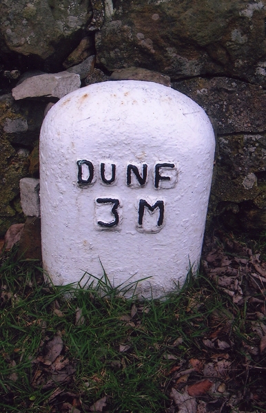
Black Loch Images
Images are sourced within 2km of 56.105553/-3.4818495 or Grid Reference NT0791. Thanks to Geograph Open Source API. All images are credited.
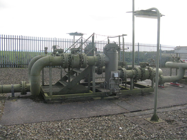
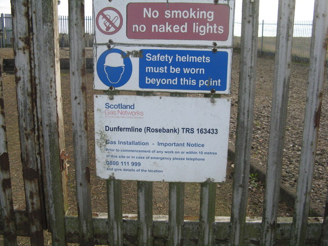
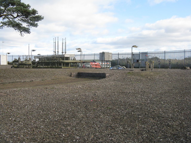
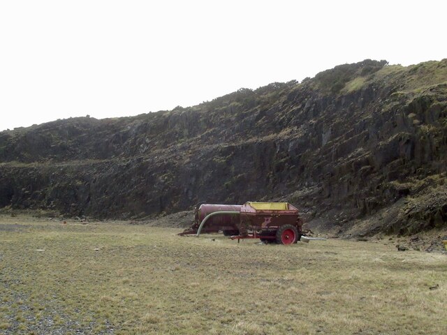
![Farmland near Craigluscar The enclosure contains the Dunfermline [Rosebank] gas installation.](https://s0.geograph.org.uk/geophotos/06/28/62/6286268_89792b4f.jpg)

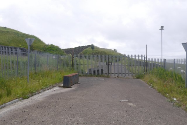
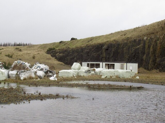
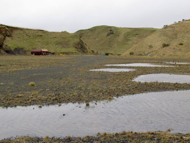
![Lochead Landfill Site A large area [ca 50ha] of old workings.](https://s2.geograph.org.uk/geophotos/06/28/63/6286314_47203e80.jpg)
Black Loch is located at Grid Ref: NT0791 (Lat: 56.105553, Lng: -3.4818495)
Unitary Authority: Fife
Police Authority: Fife
What 3 Words
///feeds.late.layers. Near Townhill, Fife
Nearby Locations
Related Wikis

Bowershall
Bowershall is a village in Fife, Scotland, UK, situated near Craigluscar Hill, two miles north of Dunfermline, one mile north of Townhill, and to the west...

Scottish Vintage Bus Museum
The Scottish Vintage Bus Museum is a transport museum in Lathalmond, 2.5 miles north of Dunfermline, Fife. The museum is open every Sunday between April...

Queen Anne High School, Dunfermline
Queen Anne High School is a large secondary school in the city of Dunfermline in Fife. It is named for Anne of Denmark, the queen of James VI, whose former...

Knockhill
Knockhill Racing Circuit is a motor racing circuit in Fife, Scotland. It opened in September 1974 and is Scotland's national motorsport centre. The circuit...

McLean Primary School
McLean Primary School is located in the centre of Dunfermline, Fife. The head teacher is Carol Newton. Pupils from the school progress onto Queen Anne...

Gowkhall
Gowkhall (for a period known as Balclune) is a hamlet in Fife Scotland, 3.6 miles (5.794 km) west of Dunfermline. The nearest village of size is Carnock...

Dunfermline (district)
Dunfermline (Scottish Gaelic: Dùn Phàrlain, Scots: Dunfaurlin) was a local government district in the Fife region of Scotland from 1975 to 1996, lying...

Black Devon
The Black Devon is a river in Scotland. It rises in the Cleish Hills, specifically the area known as Outh Muir, 1.5 kilometres (0.93 mi) north of Knockhill...
Nearby Amenities
Located within 500m of 56.105553,-3.4818495Have you been to Black Loch?
Leave your review of Black Loch below (or comments, questions and feedback).