Pitwellt Pond
Lake, Pool, Pond, Freshwater Marsh in Glamorgan
Wales
Pitwellt Pond

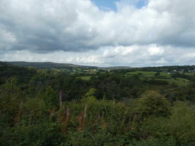
Pitwellt Pond is a freshwater pond located in the county of Glamorgan, Wales. It is a small body of water, measuring approximately 0.25 acres in size. The pond is situated in a natural setting surrounded by lush vegetation, creating a serene and picturesque environment.
The water in Pitwellt Pond is sourced from natural springs and rainfall, ensuring a constant flow of freshwater. The pond is home to a variety of aquatic plants and animals, creating a diverse and thriving ecosystem. The vegetation around the pond includes reeds, water lilies, and various types of grasses.
The pond also serves as a habitat for a wide range of wildlife. It is home to numerous species of birds, including ducks, swans, and herons, which can often be seen gracefully gliding across the water. The pond also attracts smaller bird species, such as warblers and finches, which visit the area for feeding and nesting.
Pitwellt Pond is a popular spot for both locals and visitors who enjoy activities such as fishing and birdwatching. Fishing enthusiasts can find a variety of fish species in the pond, including carp, roach, and perch. The tranquil surroundings of the pond make it an ideal location for birdwatching, allowing visitors to observe and appreciate the diverse avian population.
Overall, Pitwellt Pond is a small yet vibrant freshwater pond in Glamorgan, Wales. Its natural beauty and rich biodiversity make it a valuable asset to the local ecosystem and a beloved recreational spot for nature enthusiasts.
If you have any feedback on the listing, please let us know in the comments section below.
Pitwellt Pond Images
Images are sourced within 2km of 51.779319/-3.3367617 or Grid Reference SO0709. Thanks to Geograph Open Source API. All images are credited.


Pitwellt Pond is located at Grid Ref: SO0709 (Lat: 51.779319, Lng: -3.3367617)
Unitary Authority: Merthyr Tydfil
Police Authority: South Wales
What 3 Words
///just.decay.hiding. Near Rhymney, Caerphilly
Nearby Locations
Related Wikis
South Wales Valleys
The South Wales Valleys (Welsh: Cymoedd De Cymru) are a group of industrialised peri-urban valleys in South Wales. Most of the valleys run north–south...
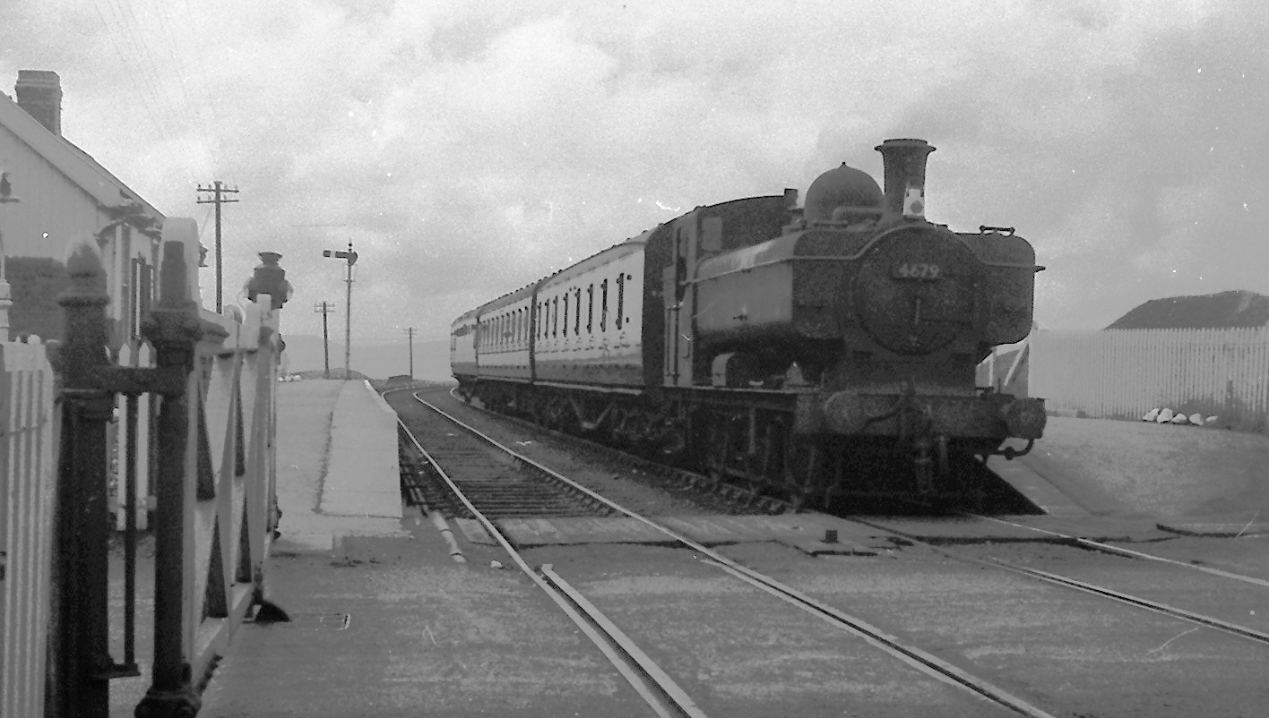
Dowlais Top (LNWR) railway station
Dowlais Top (LNWR) railway station served the village of Dowlais, Merthyr Tydfil, Wales from 1862 to 1962 on the Merthyr, Tredegar and Abergavenny Railway...
Dowlais Top railway station
Dowlais Top railway station served the village of Dowlais, Glamorgan, Wales, from 1867 to 1962 on the Brecon and Merthyr Tydfil Junction Railway. ��2...

Pantysgallog (High Level) Halt railway station
Pantysgallog High Level Halt railway station was a station that served the village of Pant, Merthyr Tydfil, Wales on the Brecon and Merthyr Tydfil Junction...
Have you been to Pitwellt Pond?
Leave your review of Pitwellt Pond below (or comments, questions and feedback).