Poll Bhàt

Lake, Pool, Pond, Freshwater Marsh in Aberdeenshire

Scotland

Poll Bhàt

Beinn Bhreac Summit The summit of Beinn Bhreac looking east to the vast bulk of Beinn a' Bhuird. Beinn Bhreac means speckled hill, presumably as the summit area is covered in boulders and will look 'speckled' from a distance.
Beinn Bhreac Summit Credit: Adam Ward

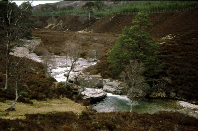
Poll Bhàt is a picturesque freshwater loch located in Aberdeenshire, Scotland. Situated amidst rolling hills and lush greenery, it serves as a tranquil oasis for both locals and visitors alike. Spanning an area of approximately 10 hectares, the loch is nestled within a larger wetland ecosystem, encompassing pools, ponds, and freshwater marshes.

The crystal-clear waters of Poll Bhàt are fed by a nearby stream, ensuring a constant flow of clean, fresh water. This, in turn, supports a diverse range of aquatic life, including various species of fish, amphibians, and invertebrates. The loch also provides a vital habitat for a myriad of bird species, making it a popular destination for birdwatching enthusiasts.

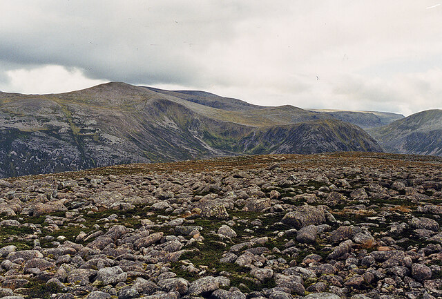
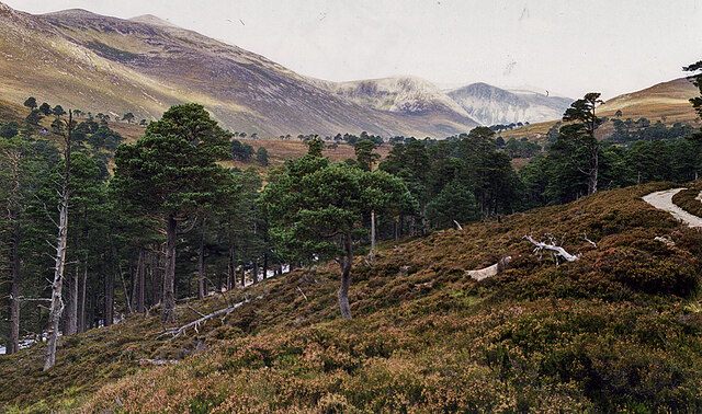
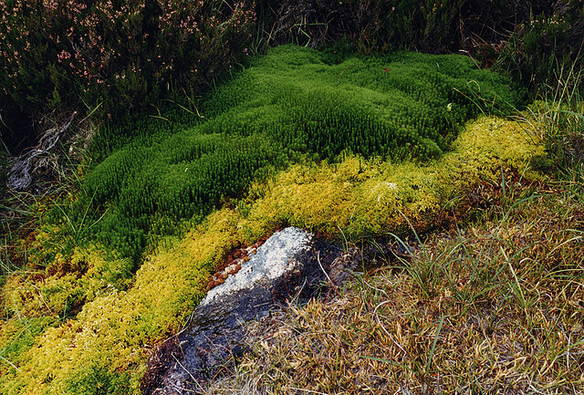
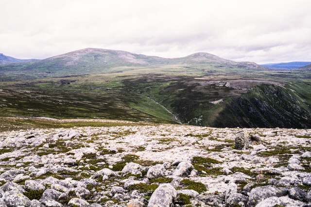
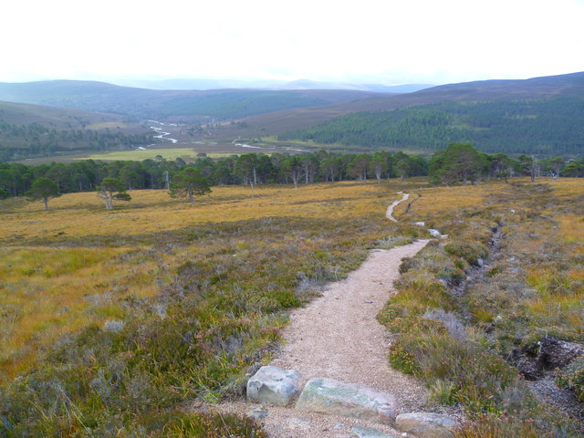
Surrounded by a verdant landscape, the loch is a haven for nature lovers. The shores are adorned with a vibrant array of wildflowers and reeds, creating a picturesque scene that changes with the seasons. The surrounding woodland offers a habitat for small mammals and provides a sheltered environment for wildlife.

Poll Bhàt is not just a haven for flora and fauna, but also a favorite spot for outdoor enthusiasts. Visitors can partake in a range of activities, including fishing, boating, and hiking. The calm waters of the loch provide an ideal setting for fishing enthusiasts, who can try their luck at catching brown trout or perch. The tranquil atmosphere and stunning surroundings also make it a perfect spot for a leisurely stroll or a peaceful picnic.

In summary, Poll Bhàt is a captivating freshwater loch in Aberdeenshire, offering a serene and biodiverse environment. With its stunning natural beauty and diverse wildlife, it is a beloved destination for both nature enthusiasts and those seeking a peaceful retreat.

If you have any feedback on the listing, please let us know in the comments section below.
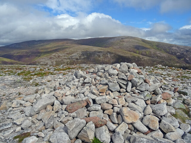
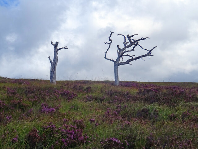
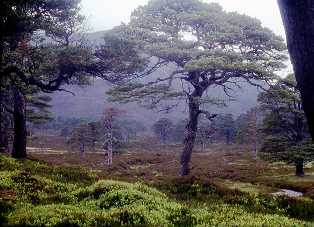
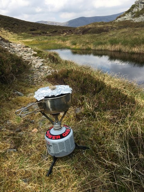
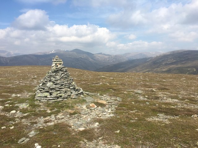
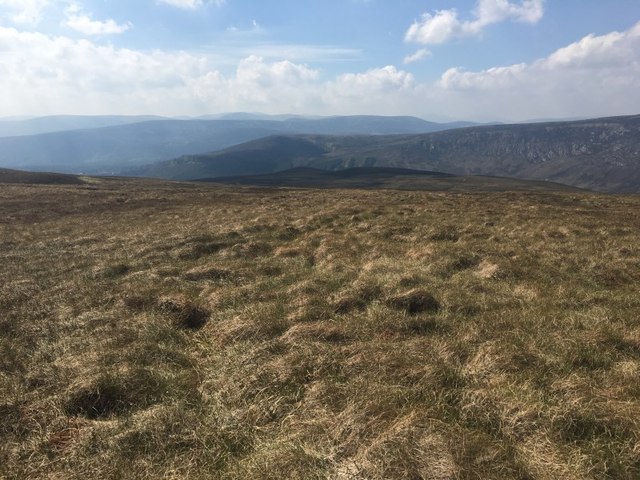
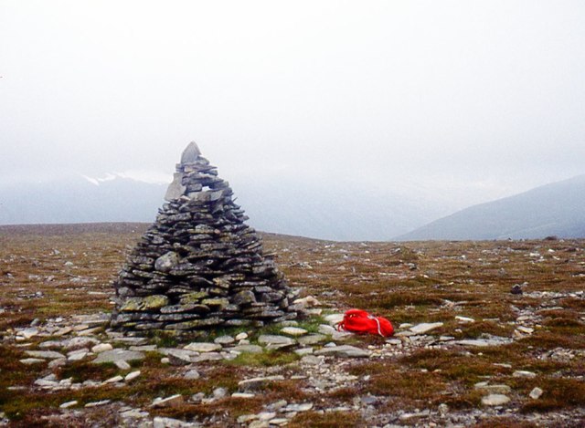
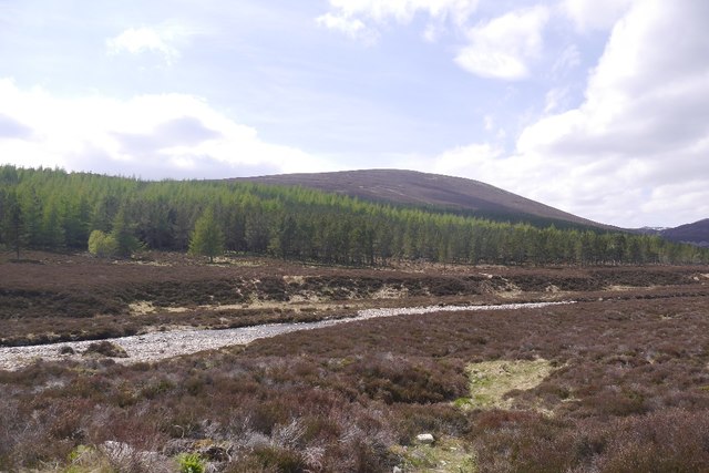
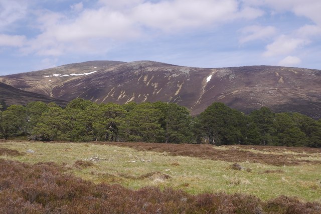
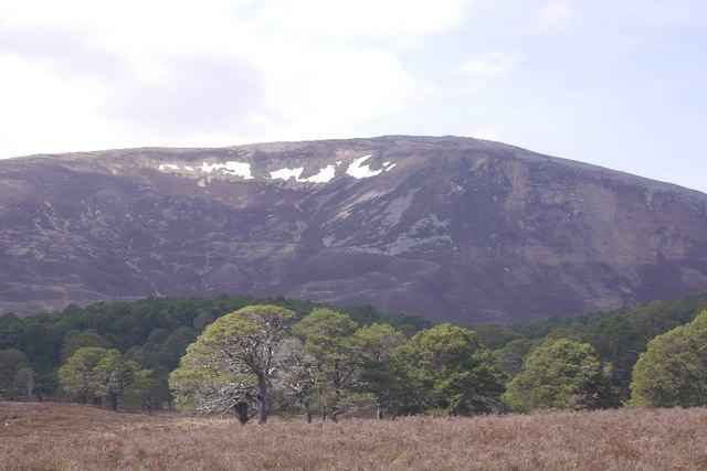
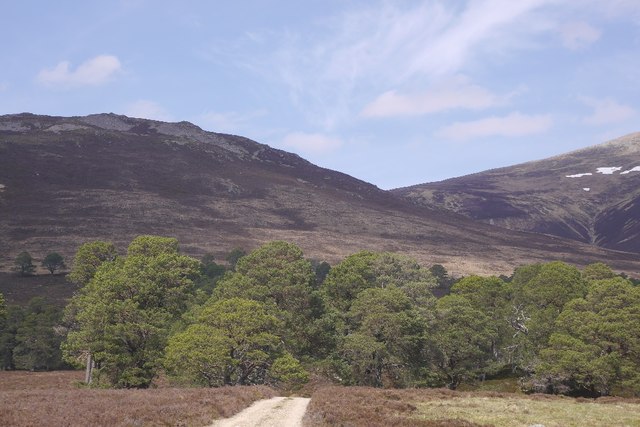
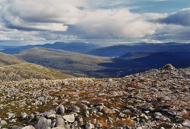
Poll Bhàt Images

Images are sourced within 2km of 57.042518/-3.5495715 or Grid Reference NO0695. Thanks to Geograph Open Source API. All images are credited.

Beinn Bhreac Summit The summit of Beinn Bhreac looking east to the vast bulk of Beinn a' Bhuird. Beinn Bhreac means speckled hill, presumably as the summit area is covered in boulders and will look 'speckled' from a distance.
Beinn Bhreac Summit
The summit of Beinn Bhreac looking east to the vast bulk of Beinn a' Bhuird. Beinn Bhreac means speckled hill, presumably as the summit area is covered in boulders and will look 'speckled' from a distance.
Dead Trees Above Glen Derry These 2 trees have reached the end of their lives in amongst the heather but Glen Derry has plenty of natural regeneration to replace them.
Dead Trees Above Glen Derry
These 2 trees have reached the end of their lives in amongst the heather but Glen Derry has plenty of natural regeneration to replace them.
Pinus sylvestris in Dubh-Ghleann Cushions of Blaeberry floor the Caledonian pine woods.
Pinus sylvestris in Dubh-Ghleann
Cushions of Blaeberry floor the Caledonian pine woods.
Brew up Small lochan, not much more than a pool, nestling in the col between Beinn Bhreac and Meall an Lundain.
Brew up
Small lochan, not much more than a pool, nestling in the col between Beinn Bhreac and Meall an Lundain.
Meall an Lundain View northwest towards the central group of Cairngorm hills.
Meall an Lundain
View northwest towards the central group of Cairngorm hills.
High on Meall an Lundain Descending west from the summit towards Glen Derry.
High on Meall an Lundain
Descending west from the summit towards Glen Derry.
Meall an Lundain, summit cairn An unusually well constructed cairn.
Meall an Lundain, summit cairn
An unusually well constructed cairn.
Plantations, Upper Glen Quoich 1970s plantation beside the Allt an Dubh-ghlinne.
Plantations, Upper Glen Quoich
1970s plantation beside the Allt an Dubh-ghlinne.
Woodland, Glen Quoich At the head of the glen, under Beinn a' Bhuird.
Woodland, Glen Quoich
At the head of the glen, under Beinn a' Bhuird.
Dubh-ghleann Old pines under Beinn Bhreac at the head of Glen Quoich.
Dubh-ghleann
Old pines under Beinn Bhreac at the head of Glen Quoich.
Road to Beinn a' Bhuird The road once went a long way up the hill, but has been removed by the National Trust for Scotland.  It served an early attempt at making a ski resort, when Mar Lodge was a hotel.
Road to Beinn a' Bhuird
The road once went a long way up the hill, but has been removed by the National Trust for Scotland. It served an early attempt at making a ski resort, when Mar Lodge was a hotel.
Looking down Glen Quoich, from Beinn Bhreac With Lochnagar and the White Mounth seen in the distance.
Looking down Glen Quoich, from Beinn Bhreac
With Lochnagar and the White Mounth seen in the distance.
Derry Cairngorm from Beinn Bhreac
Glen Derry pinewoods On the track on the east side of the Derry Burn, before it was reconstructed as a footpath.
Glen Derry pinewoods
On the track on the east side of the Derry Burn, before it was reconstructed as a footpath.
Source of Beinne Brice If you descend Beinn Bhreac by the most common route, you may well come across this brightly coloured patch of mosses, at the source of the strangely named Beinne Brice.
Source of Beinne Brice
If you descend Beinn Bhreac by the most common route, you may well come across this brightly coloured patch of mosses, at the source of the strangely named Beinne Brice.
Rockiness at summit of Beinn Bhreac Rock exposures at the summit of Beinn Bhreac, both bare rock at the surface and scattered boulders.
Beinn a' Chaorainn and Beinn a' Chaorainn Bheag are the two distant mountains.
Rockiness at summit of Beinn Bhreac
Rock exposures at the summit of Beinn Bhreac, both bare rock at the surface and scattered boulders. Beinn a' Chaorainn and Beinn a' Chaorainn Bheag are the two distant mountains.
Allt an Dubh-ghlinne Below Meall an Lundain from the track to Beinn a' Bhuird.
Allt an Dubh-ghlinne
Below Meall an Lundain from the track to Beinn a' Bhuird.
Footpath on Carn Allt na Beinne A well built footpath which leads from Glen Quoich up the slopes of Carn Allt na Beinne and onto the summit plateau Beinn A Bhuird.
Footpath on Carn Allt na Beinne
A well built footpath which leads from Glen Quoich up the slopes of Carn Allt na Beinne and onto the summit plateau Beinn A Bhuird.
Show me another place!

Poll Bhàt is located at Grid Ref: NO0695 (Lat: 57.042518, Lng: -3.5495715)

Unitary Authority: Aberdeenshire

Police Authority: North East

What 3 Words

///eventful.skewing.arriving. Near Inverey, Aberdeenshire

Nearby Locations

Poll Bhàt

Related Wikis

Beinn Bhreac (Glen Derry)

Beinn Bhreac is a twin-peaked Scottish mountain located above Glen Derry in the Cairngorm Mountains approximately 11 kilometres (7 mi) north-west of Braemar...

Glen Lui

Glen Lui from Gleann Laoigh – calves' glen – Gordon (1925) is one of the major glens on the Mar Lodge Estate, in Aberdeenshire, Scotland. Its main watercourse...

Derry Cairngorm

Derry Cairngorm (Scottish Gaelic: Càrn Gorm an Doire) is a Scottish mountain in the Cairngorms range, 14 kilometres (8.7 mi) north west of Braemar in the...

Lairig an Laoigh

The Lairig an Laoigh ( LAR-ig ən LOO-ee; Scottish Gaelic: Làirig Laoigh) is a mountain pass through the Highlands of Scotland. In speech and sometimes...

Have you been to Poll Bhàt?

Leave your review of Poll Bhàt below (or comments, questions and feedback).