Old Mill Lade

Lake, Pool, Pond, Freshwater Marsh in Dumfriesshire

Scotland

Old Mill Lade

Annandale Way
Annandale Way Credit: thejackrustles

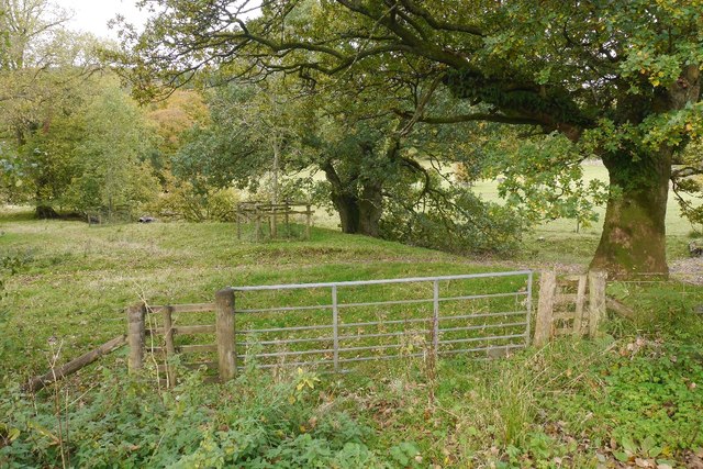
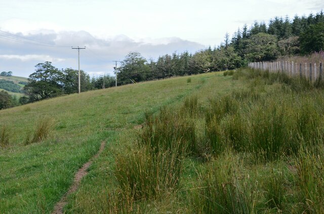
Old Mill Lade is a picturesque freshwater marsh located in Dumfriesshire, Scotland. Nestled amidst rolling hills and lush greenery, this natural wonder is a delight for nature enthusiasts and photographers alike. Stretching over a length of approximately 2 miles, the lade is a man-made watercourse that was originally constructed in the 18th century to power a nearby mill.

The lade is fed by a small stream that meanders through the surrounding countryside, bringing crystal-clear water to the marsh. This has created a unique ecosystem that supports a diverse range of flora and fauna. The tranquil waters of the lade are home to various aquatic plants, including water lilies and reeds, which provide a habitat for numerous species of birds, insects, and amphibians.

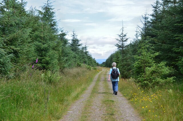
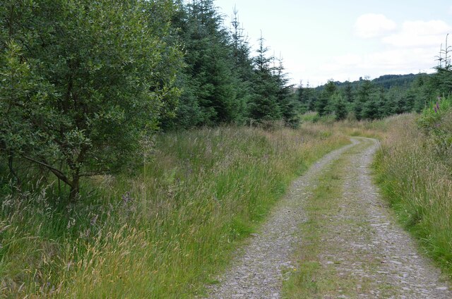
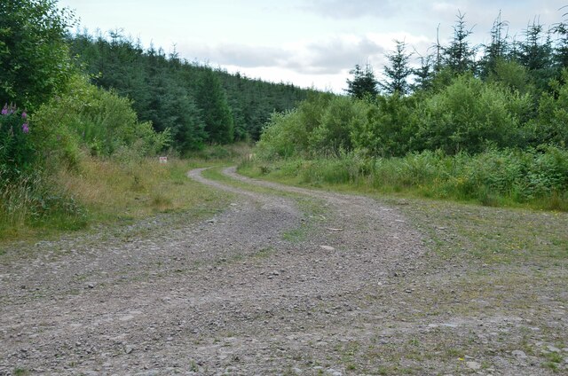
Visitors to Old Mill Lade can enjoy a peaceful walk along its banks, taking in the breathtaking scenery and observing the abundant wildlife. The calm waters of the lade also offer opportunities for fishing, with brown trout and salmon being commonly caught by anglers.

The marshland surrounding the lade is a haven for birdwatchers, as it attracts a plethora of bird species throughout the year. From the majestic heron to the colorful kingfisher, bird enthusiasts can spot a wide variety of feathered friends in this natural paradise.

Overall, Old Mill Lade in Dumfriesshire is a captivating destination that showcases the beauty of Scotland's natural landscape. Its serene waters, vibrant plant life, and abundant wildlife make it a must-visit for anyone seeking a peaceful retreat in the heart of nature.

If you have any feedback on the listing, please let us know in the comments section below.

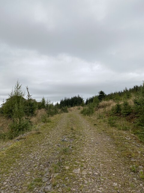
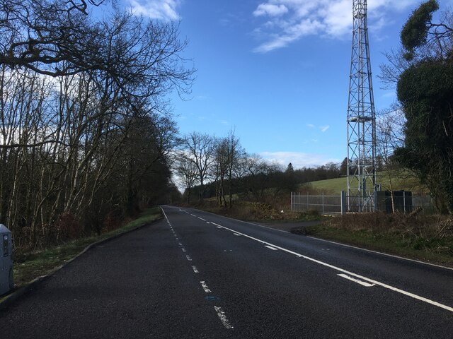
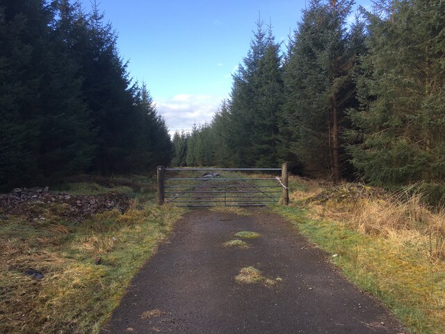
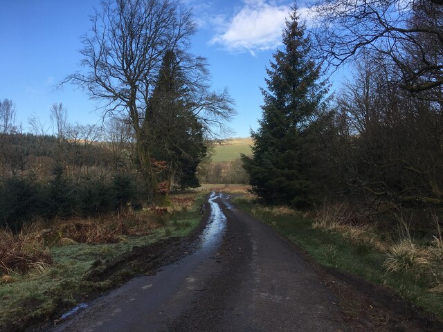
Old Mill Lade Images

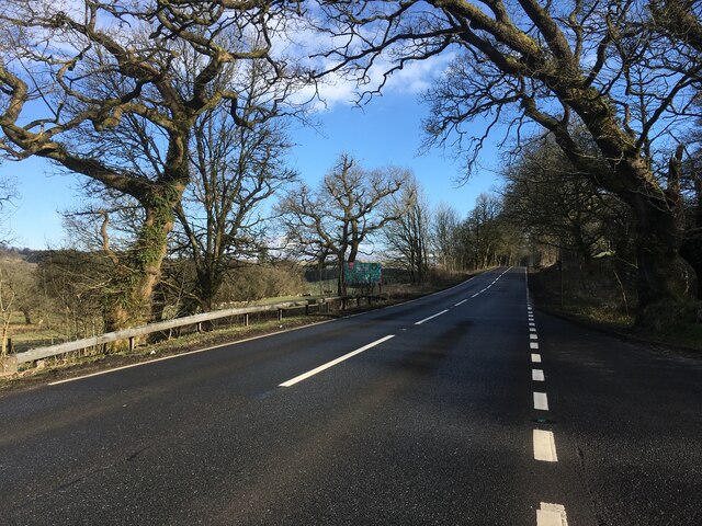
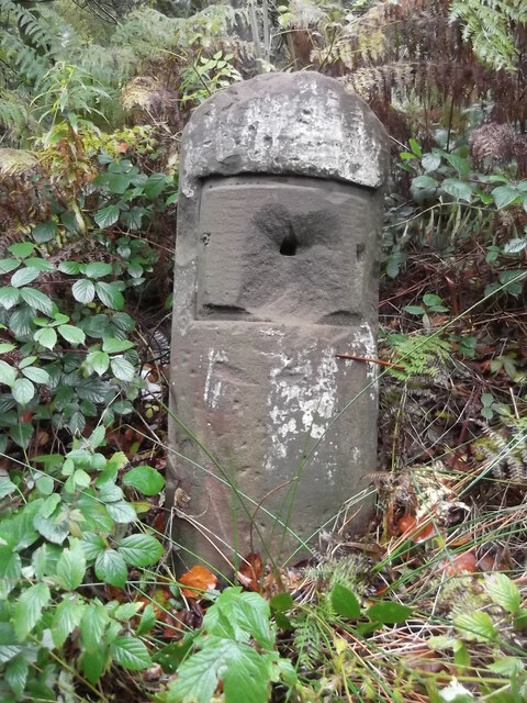
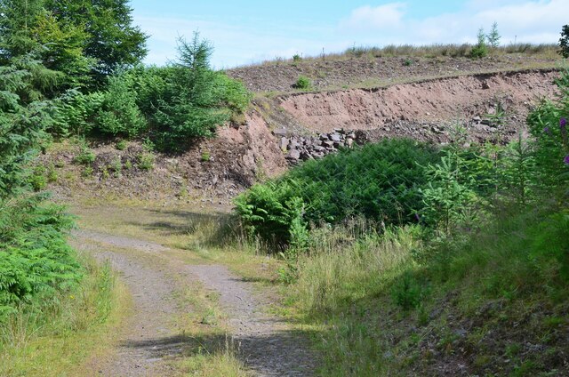
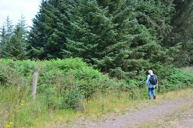
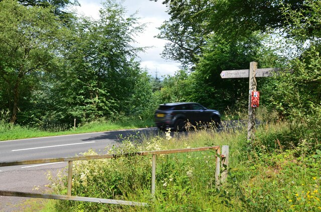
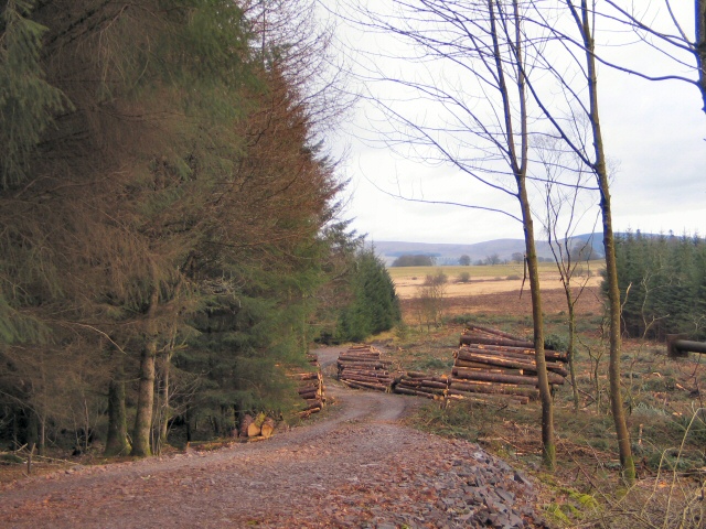
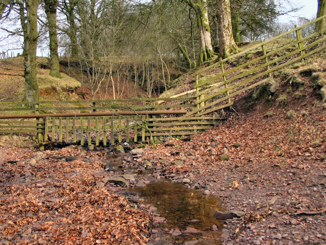
Images are sourced within 2km of 55.244741/-3.4797285 or Grid Reference NY0695. Thanks to Geograph Open Source API. All images are credited.

Annandale Way
Annandale Way
A701 towards Dumfries
Forestry entrance near Edwardsrig Plantation
Minor road near Boreland Plantation
A701 towards Beattock
Parkland, Raehills There are a lot of mature oaks here. View from the A701.
Parkland, Raehills
There are a lot of mature oaks here. View from the A701.
Old Milestone by the A701, near Hennie's Hill, Johnstone parish Dumfries red sandstone by the A701, in parish of Johnstone (Annandale District), Hennie's Hill, on verge in woods, East side of track.

Surveyed

Milestone Society National ID: DG_DFMF14
Old Milestone by the A701, near Hennie's Hill, Johnstone parish
Dumfries red sandstone by the A701, in parish of Johnstone (Annandale District), Hennie's Hill, on verge in woods, East side of track. Surveyed Milestone Society National ID: DG_DFMF14
Old Milestone by the A701, Oldshields Wood, Johnstone parish Dumfries red sandstone by the A701, in parish of Johnstone (Annandale District), Oldshields Wood, South of lay-by and lane to Mosslands, on verge in front of trees, East side of road.

Inscription once read:-
(Edinburgh)
(57)
(Dumfries)
(15)

Surveyed

Milestone Society National ID: DG_DFMF15
Old Milestone by the A701, Oldshields Wood, Johnstone parish
Dumfries red sandstone by the A701, in parish of Johnstone (Annandale District), Oldshields Wood, South of lay-by and lane to Mosslands, on verge in front of trees, East side of road. Inscription once read:- (Edinburgh) (57) (Dumfries) (15) Surveyed Milestone Society National ID: DG_DFMF15
Old milestone On the A701 at Hennies Hill, another stone that has had its plate either removed in 1940 or stolen.  The legend was Edinburgh 58, Dumfries 14.

Moderator.  Please substitute this pic for the blue one already noted in this grid square.  it is the same stone.
Old milestone
On the A701 at Hennies Hill, another stone that has had its plate either removed in 1940 or stolen. The legend was Edinburgh 58, Dumfries 14. Moderator. Please substitute this pic for the blue one already noted in this grid square. it is the same stone.
Small quarry, Kinnelhall Burn On the track descending the west side of Kinnel Knock.
Small quarry, Kinnelhall Burn
On the track descending the west side of Kinnel Knock.
Annandale Way short cut The Way is waymarked left to cut off a hairpin on the track descending to the A701.
Annandale Way short cut
The Way is waymarked left to cut off a hairpin on the track descending to the A701.
Annandale Way crossing the A701 A hazardous 10m across the tarmac of this busy road with fast traffic, then a much more tranquil episode en route to Moffat, where the Way passes under the road and the adjacent A74(M) in safety.
Annandale Way crossing the A701
A hazardous 10m across the tarmac of this busy road with fast traffic, then a much more tranquil episode en route to Moffat, where the Way passes under the road and the adjacent A74(M) in safety.
Annandale Way, Kinnelholm Rig Path through estate land on the west side of the A701.
Annandale Way, Kinnelholm Rig
Path through estate land on the west side of the A701.
Annandale Way, Edwardsrig Plantation A track between the Kinnel Water and the A701.
Annandale Way, Edwardsrig Plantation
A track between the Kinnel Water and the A701.
Annandale Way, Edwardsrig Plantation A forest track in the NW corner of the square.
Annandale Way, Edwardsrig Plantation
A forest track in the NW corner of the square.
Forest track junction, Edwardsrig Plantation The left-hand track was closed due to forestry work.
Forest track junction, Edwardsrig Plantation
The left-hand track was closed due to forestry work.
Logging Road Timber extraction at Edwards Rig. View looking east down the logging road from the A701.
Logging Road
Timber extraction at Edwards Rig. View looking east down the logging road from the A701.
Kinnelhall Burn The burn descends past Kinnel Knock to emerge at past the disused quarry by the A701, crossing beneath it to fall into Kinnel Water.
Kinnelhall Burn
The burn descends past Kinnel Knock to emerge at past the disused quarry by the A701, crossing beneath it to fall into Kinnel Water.
Show me another place!

Old Mill Lade is located at Grid Ref: NY0695 (Lat: 55.244741, Lng: -3.4797285)

Unitary Authority: Dumfries and Galloway

Police Authority: Dumfries and Galloway

What 3 Words

///tasteful.positive.fact. Near Johnstonebridge, Dumfries & Galloway

Related Wikis

Lochwood Tower

Lochwood Tower, also known as Lochwood Castle, is a ruined 16th-century L-plan tower house situated in Annandale (Valley of the River Annan) about 6 miles...

Dumfriesshire, Clydesdale and Tweeddale (UK Parliament constituency)

Dumfriesshire, Clydesdale and Tweeddale is a constituency of the House of Commons, located in the South of Scotland, within the Dumfries and Galloway,...

Johnstonebridge

Johnstonebridge is a village in Dumfries and Galloway, Scotland.It is roughly halfway between Moffat and Lockerbie, and lies on the A74(M) motorway. The...

Annandale Water services

Annandale Water services is a motorway service station in the village of Johnstonebridge, Scotland. The service station is located next to the A74(M) motorway...

Nearby Amenities

Located within 500m of 55.244741,-3.4797285
Power: pole
Lat/Long: 55.2461837/-3.4722881
Power: pole
Lat/Long: 55.245448/-3.4728754
Power: pole
Lat/Long: 55.2448944/-3.473321
Power: pole
Lat/Long: 55.2450045/-3.4749645
Power: pole
Lat/Long: 55.2451073/-3.4765873
Power: pole
Lat/Long: 55.2458915/-3.4776151
Power: pole
Lat/Long: 55.2466139/-3.4785708
Power: pole
Lat/Long: 55.2472835/-3.4793488
Power: pole
Lat/Long: 55.2479472/-3.4801499
Power: pole
Lat/Long: 55.2485111/-3.4808093
The data included in this document is from www.openstreetmap.org. The data is made available under ODbL.

Have you been to Old Mill Lade?

Leave your review of Old Mill Lade below (or comments, questions and feedback).