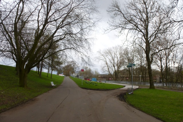
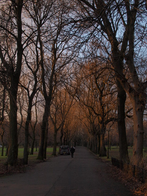
Govanhill
Settlement in Renfrewshire
Scotland
Govanhill

Govanhill is a vibrant and diverse neighborhood located in the southern part of Glasgow, Renfrewshire, Scotland. With a population of over 16,000 people, it is known for its multicultural atmosphere and rich history.
Originally an agricultural area, Govanhill experienced significant growth during the 19th century due to the industrialization of Glasgow. Many workers from different parts of Scotland and Ireland settled here, giving the neighborhood its multicultural character that still exists today.
One of the notable features of Govanhill is its diverse population, with residents from various ethnic backgrounds, including Irish, Pakistani, Indian, Somali, and Polish communities. This multicultural environment has created a rich tapestry of languages, cuisines, and cultural traditions, making Govanhill a melting pot of different cultures.
The neighborhood offers a range of amenities and services to cater to its diverse population. There are numerous shops, restaurants, and markets that reflect the multicultural nature of the area. Additionally, Govanhill is home to several community centers, religious institutions, and recreational facilities, providing spaces for social interaction and cultural activities.
Govanhill is well-connected to the rest of Glasgow through excellent transport links, including bus services and nearby train stations. The neighborhood also benefits from its proximity to major roadways, making it easily accessible for commuters.
In recent years, Govanhill has undergone significant regeneration efforts to improve housing conditions and enhance the overall quality of life for its residents. This ongoing transformation has contributed to the neighborhood's appeal as a vibrant and dynamic place to live, work, and visit.
If you have any feedback on the listing, please let us know in the comments section below.
Govanhill Images
Images are sourced within 2km of 55.83707/-4.2591228 or Grid Reference NS5862. Thanks to Geograph Open Source API. All images are credited.


Govanhill is located at Grid Ref: NS5862 (Lat: 55.83707, Lng: -4.2591228)
Unitary Authority: City of Glasgow
Police Authority: Greater Glasgow
What 3 Words
///deaf.foal.wings. Near Rutherglen, South Lanarkshire
Related Wikis
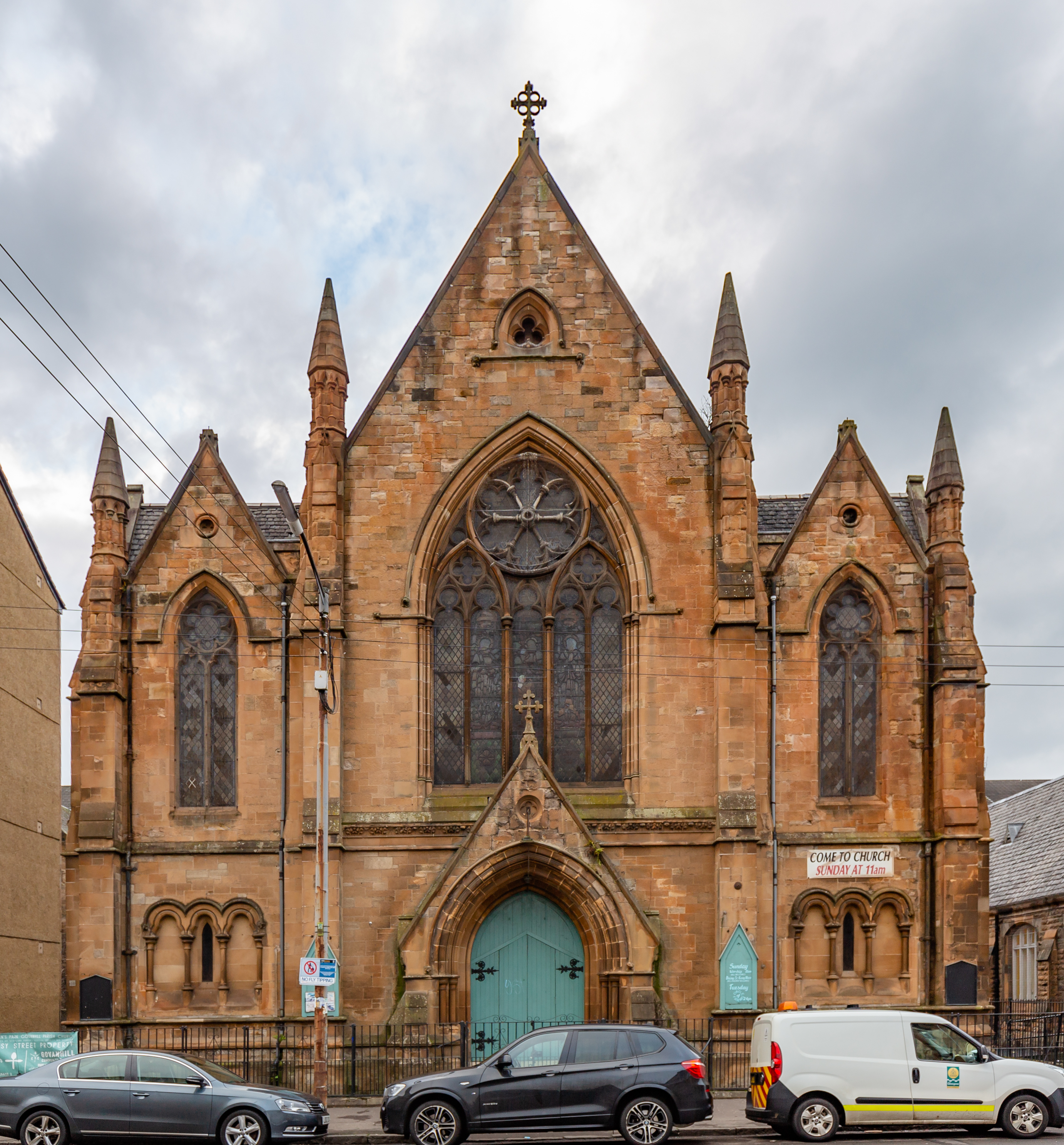
Govanhill Trinity Church
Govanhill Trinity Church is a 19th-century church building in the Govanhill area of Glasgow. The church closed down in 2015, but it is still owned by the...

Govanhill
Govanhill (Scottish Gaelic: Cnoc a' Ghobhainn) is an area of Glasgow, Scotland, situated south of the River Clyde between Pollokshields, the Gorbals, Strathbungo...
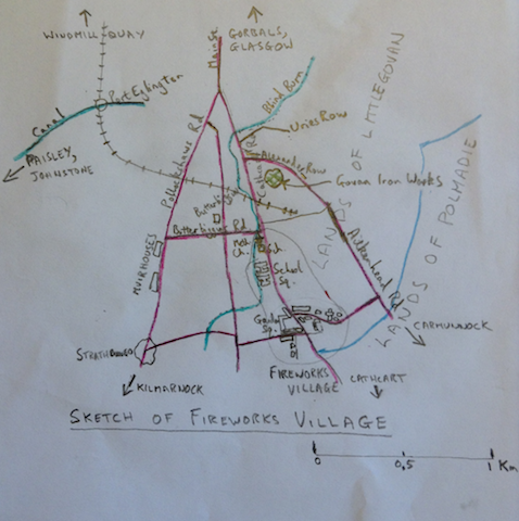
Fireworks Village
Fireworks village, also known as Govan Colliery Houses, was a company village in Scotland belonging to the Dixon family who ran the Govan Iron Works and...
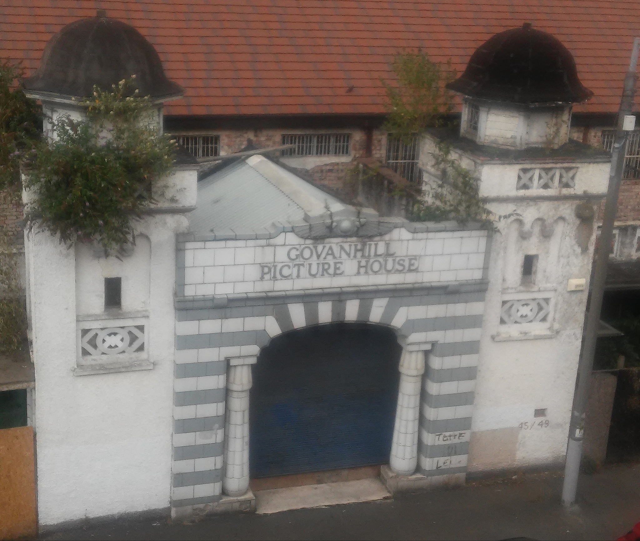
Govanhill Picture House
Govanhill Picture House based in Govanhill, Glasgow, was an Egyptian-themed cinema built in 1926 which was designed by architect Eric A. Sutherland and...

Govanhill Baths
Govanhill Baths is a Category B listed Edwardian public bathhouse at 99 Calder Street, Govanhill, Glasgow, Scotland, designed by the architect A.B. McDonald...

Dixon Halls
Dixon Halls, formerly Crosshill and Govanhill Burgh Hall, is a daycare centre for elderly people and Category B listed building on Cathcart Road, Glasgow...

Cathkin Park (1872–1903)
Cathkin Park was a football ground in the Crosshill area of Glasgow, Scotland. It was the home ground of Third Lanark from their foundation in 1872 until...

Pink Peacock
Pink Peacock (Yiddish: די ראָזעווע פּאַווע, Di Rozeve Pave) was a café and infoshop in the Govanhill area of Glasgow. Described by its founders as "anti...
Related Videos

Dubai #fyp #dubai #dubailife #scotland #dentist #teeth #abroad #holiday #shorts #comedy #podcast
Don't forget to hit subscribe so you receive the next Glesga Da Podcast episode first! Make sure to check out: Glesga Da Podcast ...


Nearby Amenities
Located within 500m of 55.83707,-4.2591228Have you been to Govanhill?
Leave your review of Govanhill below (or comments, questions and feedback).