Crosshill
Settlement in Renfrewshire
Scotland
Crosshill

Crosshill is a small village located in Renfrewshire, Scotland. Situated around 12 miles southwest of Glasgow, it falls within the administrative boundaries of the East Renfrewshire Council. The village is nestled amidst picturesque countryside, offering residents and visitors a peaceful and scenic environment.
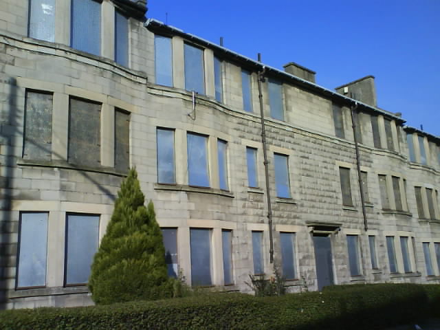
Crosshill has a rich history dating back centuries. It was originally an agricultural settlement, with farming playing a significant role in the local economy. Over time, the village has expanded, but it has managed to retain its charming rural character.
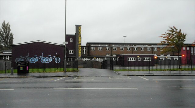
The village features a range of amenities to cater to the needs of its residents. There is a primary school, providing education for the younger population, and a few local shops for everyday necessities. However, for more extensive shopping, entertainment, and dining options, residents can easily access nearby towns and cities.
Nature enthusiasts will appreciate the village's proximity to various outdoor recreational areas. The beautiful Clyde Muirshiel Regional Park is just a short distance away, offering opportunities for hiking, cycling, and wildlife observation. Additionally, Lochwinnoch Nature Reserve, with its diverse plant and animal species, provides an ideal spot for nature lovers.
Transportation in Crosshill is convenient, with regular bus services connecting the village to nearby towns and cities. The village is also well-connected to major road networks, making it easily accessible by car.
Overall, Crosshill offers a peaceful and scenic setting, making it an attractive place to reside for those seeking a quieter lifestyle within reach of urban amenities.
If you have any feedback on the listing, please let us know in the comments section below.
Crosshill Images
Images are sourced within 2km of 55.83194/-4.2624502 or Grid Reference NS5862. Thanks to Geograph Open Source API. All images are credited.


Crosshill is located at Grid Ref: NS5862 (Lat: 55.83194, Lng: -4.2624502)
Unitary Authority: City of Glasgow
Police Authority: Greater Glasgow
What 3 Words
///trader.meals.leans. Near Rutherglen, South Lanarkshire
Related Wikis
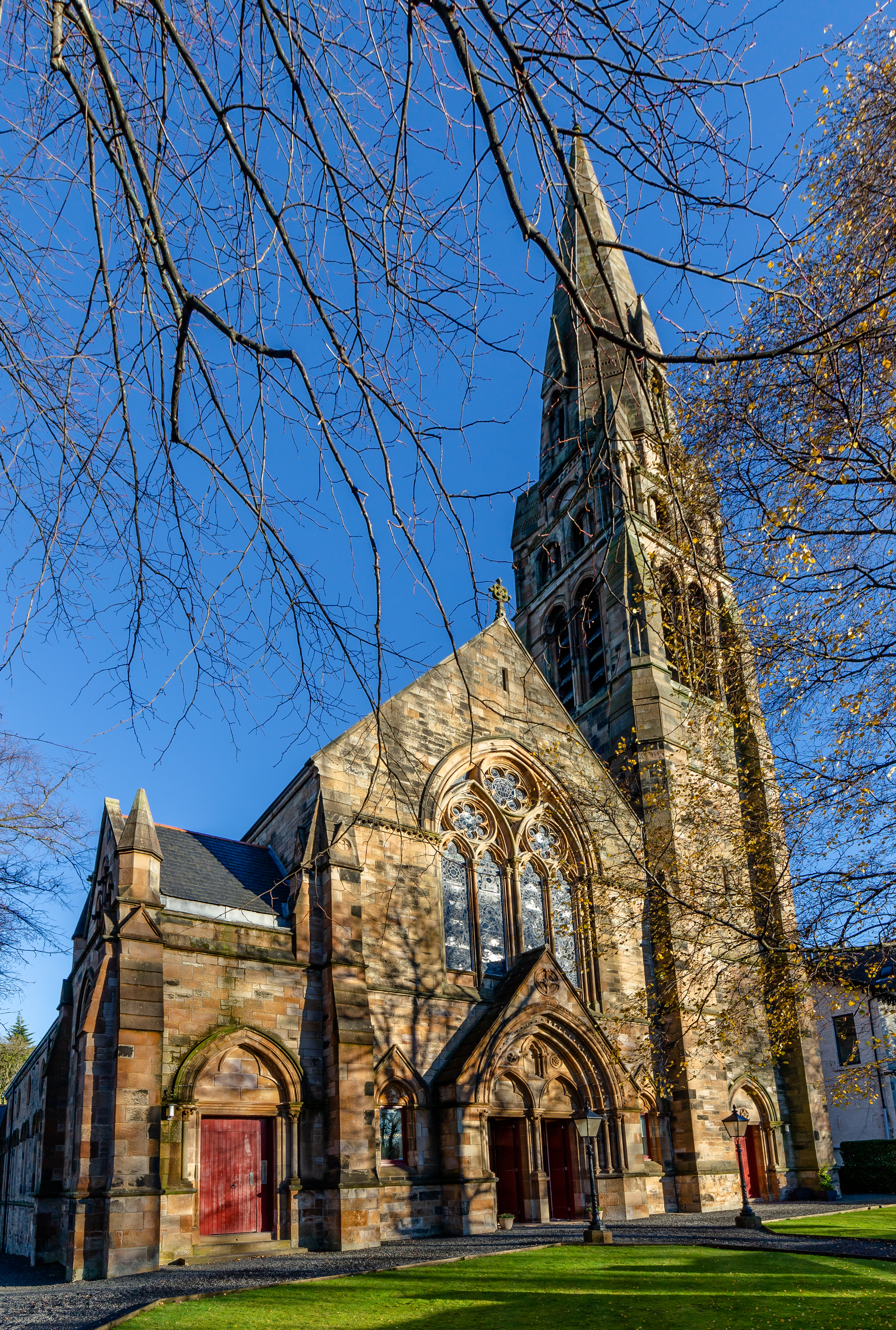
Crosshill Queen's Park Church
Crosshill Queen's Park Church is a 19th-century former Church of Scotland parish church near Queen's Park in Glasgow. Nowadays, the building has been converted...

New Victoria Hospital
The New Victoria Hospital is an ambulatory care hospital situated at Langside/Battlefield in the south-east of Glasgow, Scotland. It is managed by NHS...
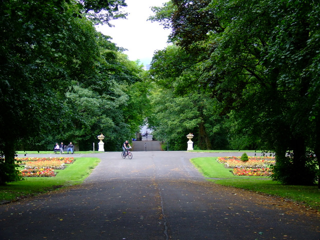
Queen's Park, Glasgow
Queen's Park (Scottish Gaelic: Pàirc na Banrìghinn, Scots: Queen's Pairk) is a park situated on the south side of the city of Glasgow, Scotland, between...
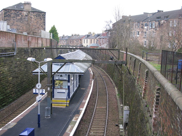
Crosshill railway station
Crosshill railway station is a railway station serving the Crosshill and Govanhill areas of Glasgow, Scotland. It is located on the Cathcart Circle Line...
Nearby Amenities
Located within 500m of 55.83194,-4.2624502Have you been to Crosshill?
Leave your review of Crosshill below (or comments, questions and feedback).