Gourton

Settlement in Denbighshire

Wales

Gourton

The former Bryn Estyn Bryn Estyn was built for a Wrexham brewer in 1902-3, and became a secure school after WW2. It became notorious as the centre of a high level paedophile ring, and after closing, and a brief tenure as council offices, it is now scheduled for demolition.
The former Bryn Estyn Credit: Mike Parker

Gourton is a small village located in the county of Denbighshire, Wales. Situated near the town of Corwen, it is nestled in the picturesque Dee Valley, which offers stunning views of the surrounding countryside.

The village is known for its peaceful and rural atmosphere, attracting visitors who seek a tranquil escape from the hustle and bustle of city life. Gourton is surrounded by rolling hills and lush green farmland, providing a serene backdrop for outdoor enthusiasts and nature lovers.

The area is rich in history, with several ancient landmarks and structures. One notable landmark is Gourton Tower, a medieval tower house that dates back to the 13th century. This well-preserved structure stands as a reminder of the village's historical significance.

Despite its small size, Gourton boasts a close-knit community that takes pride in its local traditions and events. The village often hosts various cultural and social activities, including traditional Welsh music and dance festivals, which allow residents and visitors to immerse themselves in the region's vibrant heritage.

For those seeking adventure, Gourton offers ample opportunities for outdoor activities. The nearby River Dee is a popular spot for fishing and kayaking, while the surrounding hills and valleys provide excellent hiking and cycling trails.

While Gourton may be a quiet village, it offers a warm and welcoming atmosphere to all who visit. Its stunning natural beauty, rich history, and strong community spirit make it a hidden gem in Denbighshire, Wales.

If you have any feedback on the listing, please let us know in the comments section below.
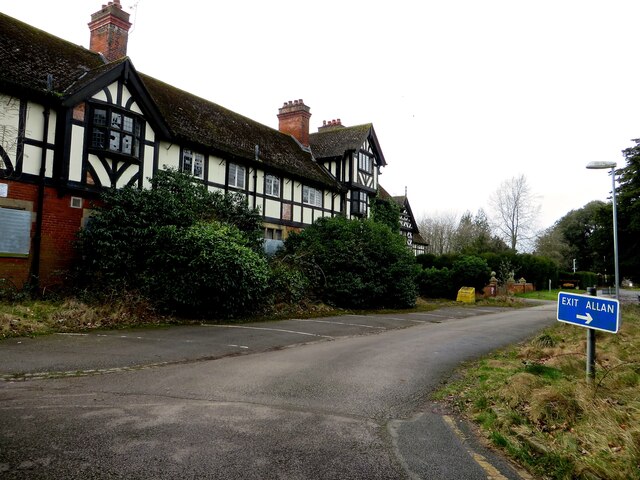
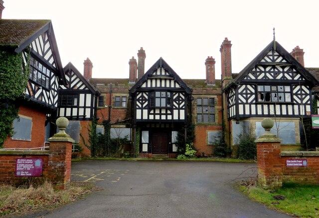
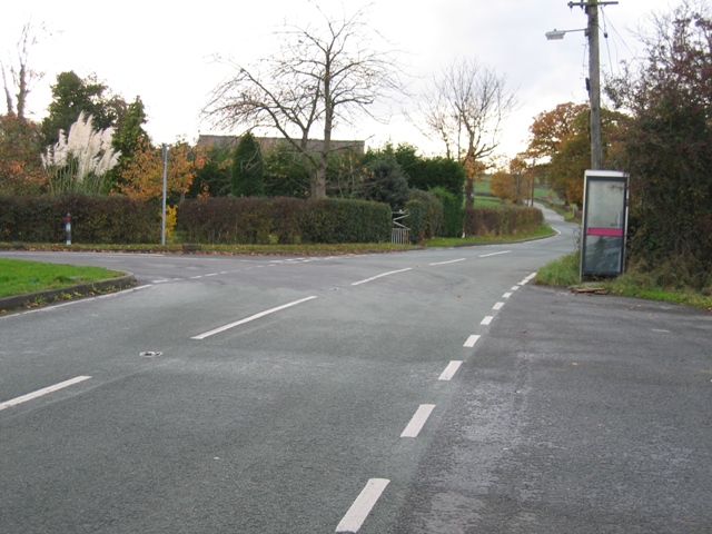
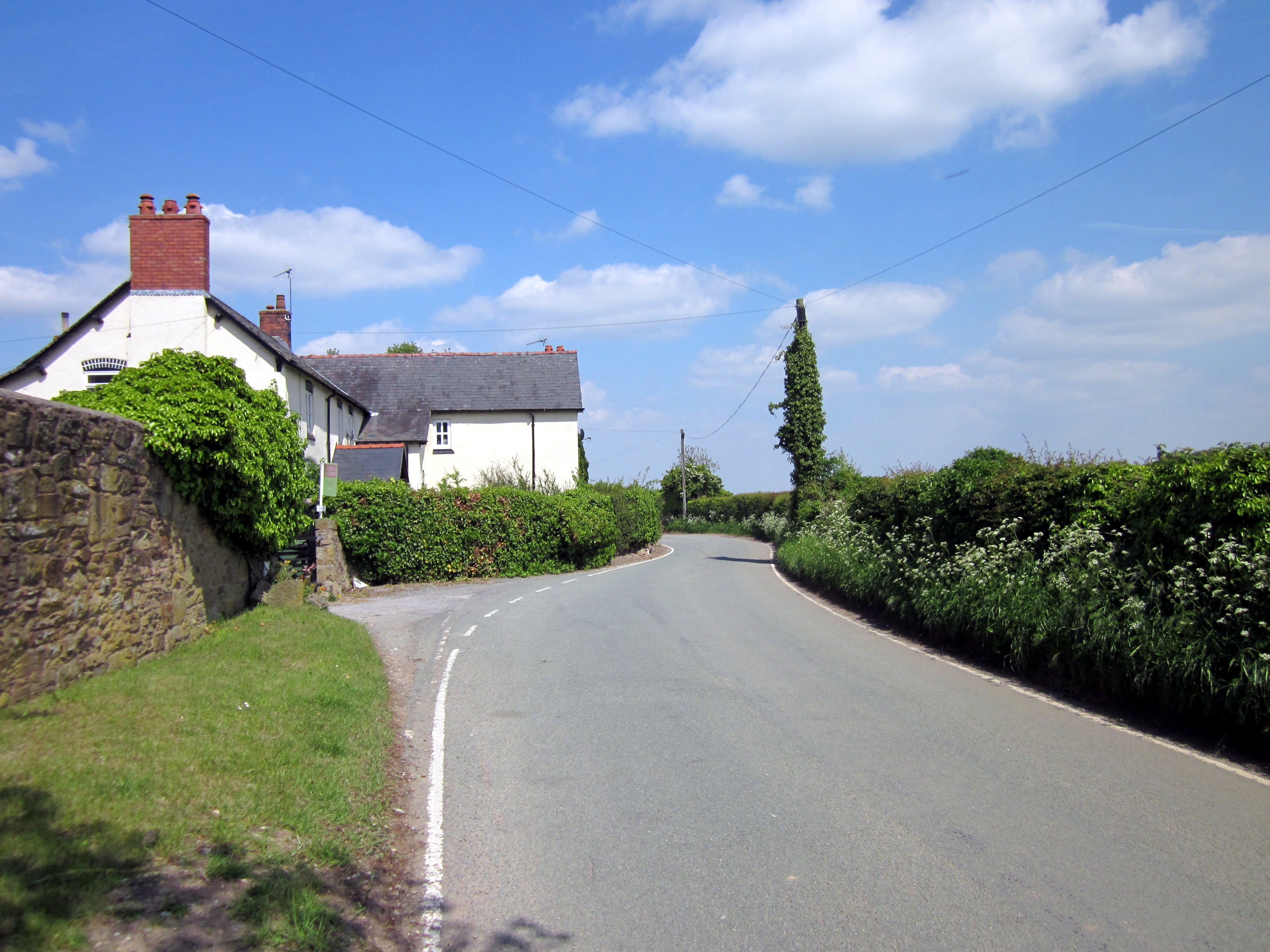
Gourton Images

Images are sourced within 2km of 53.061367/-2.935579 or Grid Reference SJ3751. Thanks to Geograph Open Source API. All images are credited.

The former Bryn Estyn Bryn Estyn was built for a Wrexham brewer in 1902-3, and became a secure school after WW2. It became notorious as the centre of a high level paedophile ring, and after closing, and a brief tenure as council offices, it is now scheduled for demolition.
The former Bryn Estyn
Bryn Estyn was built for a Wrexham brewer in 1902-3, and became a secure school after WW2. It became notorious as the centre of a high level paedophile ring, and after closing, and a brief tenure as council offices, it is now scheduled for demolition.
Ready for Takeoff The runway at the former Boras aerodrome, closed in 1988 to make way for sand and gravel quarrying. Now the site of several industries, predominantly building-block fabrication.
Ready for Takeoff
The runway at the former Boras aerodrome, closed in 1988 to make way for sand and gravel quarrying. Now the site of several industries, predominantly building-block fabrication.
Wrecsam Industrial Estate Modern factory on this busy estate. Another famous name - JCB, this is the transmissions factory.
Wrecsam Industrial Estate
Modern factory on this busy estate. Another famous name - JCB, this is the transmissions factory.
Golf club and driving Range Modern facility on the edge of the Industrial Estate.
Golf club and driving Range
Modern facility on the edge of the Industrial Estate.
Rural lane near Spring Grove Neatly trimmed hedges around the grass fields on the very west edge of the Afon Dyfrdwy plain.
Rural lane near Spring Grove
Neatly trimmed hedges around the grass fields on the very west edge of the Afon Dyfrdwy plain.
Cornish Hall dairy farm Organic dairy farm producing milk for Calon Wen,  the Welsh Organic Milk Co-Operative.
Cornish Hall dairy farm
Organic dairy farm producing milk for Calon Wen, the Welsh Organic Milk Co-Operative.
Calon Wen sign Sign outside Cornish Hall dairy.  <span class="nowrap"><a title="http://www.calonwen-cymru.com/" rel="nofollow ugc noopener" href="http://www.calonwen-cymru.com/">Link</a><img style="margin-left:2px;" alt="External link" title="External link - shift click to open in new window" src="https://s1.geograph.org.uk/img/external.png" width="10" height="10"/></span>
Calon Wen sign
Sign outside Cornish Hall dairy. LinkExternal link
Borras Hall The house at Borras Hall, many of the original farm buildings have been converted into housing.
Borras Hall
The house at Borras Hall, many of the original farm buildings have been converted into housing.
Hoseley Bank House and farm buildings Wonderful view out across the Afon Dyfrdwy valley towards England.
Hoseley Bank House and farm buildings
Wonderful view out across the Afon Dyfrdwy valley towards England.
A 5 acre allotment on Commonwood, near Holt The Commonwood allotments was an area of woodland for villages to graze livestock and collect firewood from the early part of the 14th century onwards. In 1851 Commonwood was enclosed and divided into 65 allotments of approx. 2.7 acres. 
<span class="nowrap"><a title="http://www.wrexham.gov.uk/english/leisure_tourism/prow/news_articles/commonwood_footpath.htm" rel="nofollow ugc noopener" href="http://www.wrexham.gov.uk/english/leisure_tourism/prow/news_articles/commonwood_footpath.htm">Link</a><img style="margin-left:2px;" alt="External link" title="External link - shift click to open in new window" src="https://s1.geograph.org.uk/img/external.png" width="10" height="10"/></span>
My thanks to Gerald England for this information and link.
A 5 acre allotment on Commonwood, near Holt
The Commonwood allotments was an area of woodland for villages to graze livestock and collect firewood from the early part of the 14th century onwards. In 1851 Commonwood was enclosed and divided into 65 allotments of approx. 2.7 acres. LinkExternal link My thanks to Gerald England for this information and link.
The Gredington Arms, Llan-y-pwll A main road pub with a good cuisine and excellent beer from Hydes Brewery, Manchester.
<span class="nowrap"><a title="http://www.hydesbrewery.com/html/home.html" rel="nofollow ugc noopener" href="http://www.hydesbrewery.com/html/home.html">Link</a><img style="margin-left:2px;" alt="External link" title="External link - shift click to open in new window" src="https://s1.geograph.org.uk/img/external.png" width="10" height="10"/></span>
The Gredington Arms, Llan-y-pwll
A main road pub with a good cuisine and excellent beer from Hydes Brewery, Manchester. LinkExternal link
Llan-y-pwll Farm Typical mixed livestock farm. Also runs a log shop.
Llan-y-pwll Farm
Typical mixed livestock farm. Also runs a log shop.
New Housing  on Holt Road Mixed housing on what was a green field site.
New Housing on Holt Road
Mixed housing on what was a green field site.
Road Junction  with Borras Road and Buck Road The minor road from Holt to Borras.
Road Junction with Borras Road and Buck Road
The minor road from Holt to Borras.
Fields and Hedges Taken from the bridleway just a short walk from Erlas Lane.  The hedge on the left is a relatively new planting and is not shown on the map.  The lower hedge line on the right follows the line of a stream that is shown on the map, but there is not much evidence of it on the ground. The southern edge of SJ3651 runs along the valley on the other side of the lower curved hedge line. Bryn Estyn Offices can be seen on the hill in the distance.
Fields and Hedges
Taken from the bridleway just a short walk from Erlas Lane. The hedge on the left is a relatively new planting and is not shown on the map. The lower hedge line on the right follows the line of a stream that is shown on the map, but there is not much evidence of it on the ground. The southern edge of SJ3651 runs along the valley on the other side of the lower curved hedge line. Bryn Estyn Offices can be seen on the hill in the distance.
Cold War Memories The former 17 Group Headquarters of The Royal Observer Corps. A semi protected site to monitor radio active fallout and aircraft movements. Now a recording facility.
Cold War Memories
The former 17 Group Headquarters of The Royal Observer Corps. A semi protected site to monitor radio active fallout and aircraft movements. Now a recording facility.
Group Headquarters The former H.Q. of 17 Group Royal Observer Corps built circa 1957, to replace the previous H.Q at Caernarvon, and reserve centre at Wrexham.
Group Headquarters
The former H.Q. of 17 Group Royal Observer Corps built circa 1957, to replace the previous H.Q at Caernarvon, and reserve centre at Wrexham.
Show me another place!

Gourton is located at Grid Ref: SJ3751 (Lat: 53.061367, Lng: -2.935579)

Unitary Authority: Wrexham

Police Authority: North Wales

What 3 Words

///rehearsed.glitter.sticks. Near Gresford, Wrexham

Nearby Locations

Gourton Clays Plantation

Related Wikis

Wrexham RFC

Wrexham Rugby Football Club (Welsh: Clwb Rygbi Wrecsam) is a Welsh rugby union team based in Wrexham, Wales. Wrexham RFC is a member of the Welsh Rugby...

Wrexham (Senedd constituency)

Wrexham (Welsh: Wrecsam) is a constituency of the Senedd. It elects one Member of the Senedd by the first past the post method of election. Also, however...

Wrexham (UK Parliament constituency)

Wrexham (Welsh: Wrecsam) is a parliamentary constituency centred on the city of Wrexham in the preserved county of Clwyd, Wales in the United Kingdom....

Borras

Borras (; historically Welsh: Bwras) is a hamlet in Wrexham County Borough, Wales to the north-east of the city of Wrexham. It is part of the community...

Nearby Amenities

Located within 500m of 53.061367,-2.935579
Traffic Signals
Traffic Signals: signal
Lat/Long: 53.0614558/-2.9315197
Entrance: yes
Lat/Long: 53.0607571/-2.9331104
Entrance: yes
Lat/Long: 53.0604115/-2.9334286
Leisure: picnic_table
Lat/Long: 53.0603121/-2.9332191
Leisure: picnic_table
Lat/Long: 53.0603057/-2.9331524
Leisure: picnic_table
Lat/Long: 53.0603858/-2.9333355
Leisure: picnic_table
Lat/Long: 53.0604497/-2.9333607
Leisure: picnic_table
Lat/Long: 53.060413/-2.9333389
Leisure: picnic_table
Lat/Long: 53.060408/-2.9333781
Leisure: picnic_table
Lat/Long: 53.0604272/-2.9333814
Leisure: picnic_table
Lat/Long: 53.0603831/-2.9333652
Llan-y-pwll
Name Cy: Llan-y-pwll
Name En: Llan-y-pwll
Place: hamlet
Wikidata: Q20593310
Lat/Long: 53.0609631/-2.9381237
Bus Stop
Llan-y-Pwll, Wrexham Road / Hugmore Lane
Bus: yes
Naptan AtcoCode: 5140WDB22545
Naptan Bearing: SW
Naptan CommonName: Hugmore Lane
Naptan Crossing: Hugmore Lane
Naptan Indicator: after
Naptan Landmark: Waterways
Naptan LocalityName: Llan-y-Pwll
Naptan NaptanCode: wrejpdt
Naptan Street: Wrexham Road
Public Transport: platform
Source: naptan_import
Lat/Long: 53.0612176/-2.9325098
Direction: 185
Generator Method: photovoltaic
Generator Output Electricity: yes
Generator Solar Modules: 16
Generator Source: solar
Generator Type: solar_photovoltaic_panel
Location: roof
Power: generator
Lat/Long: 53.06195/-2.936689
Direction: 195
Generator Method: photovoltaic
Generator Output Electricity: yes
Generator Solar Modules: 5
Generator Source: solar
Generator Type: solar_photovoltaic_panel
Location: roof
Power: generator
Lat/Long: 53.060322/-2.9319549
Direction: 195
Generator Method: photovoltaic
Generator Output Electricity: yes
Generator Solar Modules: 5
Generator Source: solar
Generator Type: solar_photovoltaic_panel
Location: roof
Power: generator
Lat/Long: 53.0603639/-2.9319415
Bus Stop
Llan-y-Pwll, Wrexham Road / Hugmore Lane
Bus: yes
Naptan AtcoCode: 5140AWF80191
Naptan Bearing: NE
Naptan CommonName: Hugmore Lane
Naptan Crossing: Hugmore Lane
Naptan Indicator: before
Naptan Landmark: Waterways
Naptan LocalityName: Llan-y-Pwll
Naptan NaptanCode: wregdpd
Naptan Street: Wrexham Road
Public Transport: platform
Source: naptan_import
Lat/Long: 53.0613526/-2.9325821
The data included in this document is from www.openstreetmap.org. The data is made available under ODbL.

Have you been to Gourton?

Leave your review of Gourton below (or comments, questions and feedback).