Gourock
Settlement in Renfrewshire
Scotland
Gourock
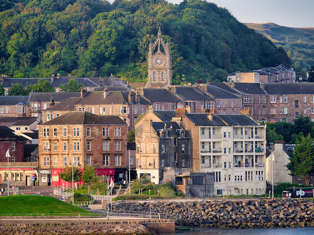
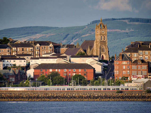
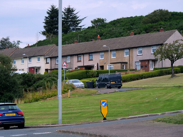
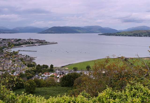
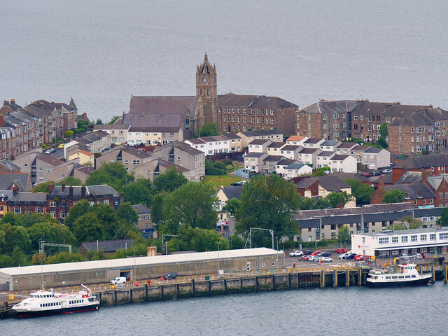
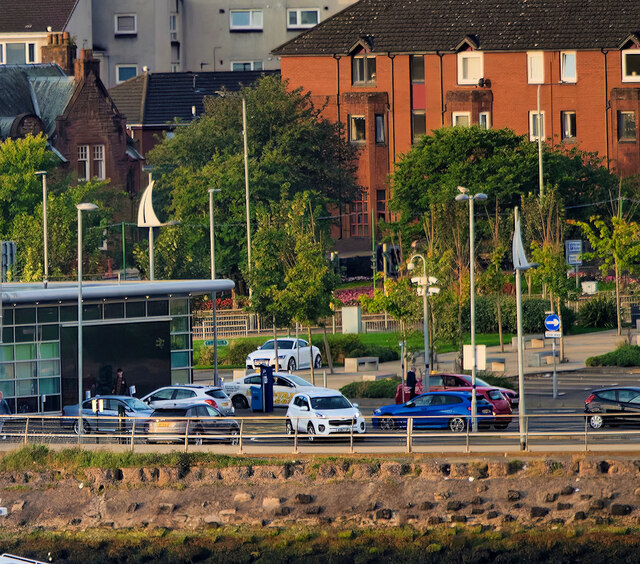
Gourock is a coastal town located in the Inverclyde region of Renfrewshire, Scotland. Situated on the southern bank of the River Clyde, it is approximately 25 miles west of Glasgow. With a population of around 11,000 residents, Gourock is a popular residential area known for its stunning views of the Clyde Estuary and surrounding hills.
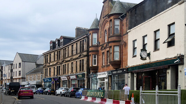
The town has a long history, dating back to the 17th century when it served as a fishing village and ferry port. Today, Gourock has evolved into a vibrant community with a mix of traditional and modern amenities. The town center offers a range of shops, restaurants, and cafes, along with essential services such as banks, a post office, and a library.
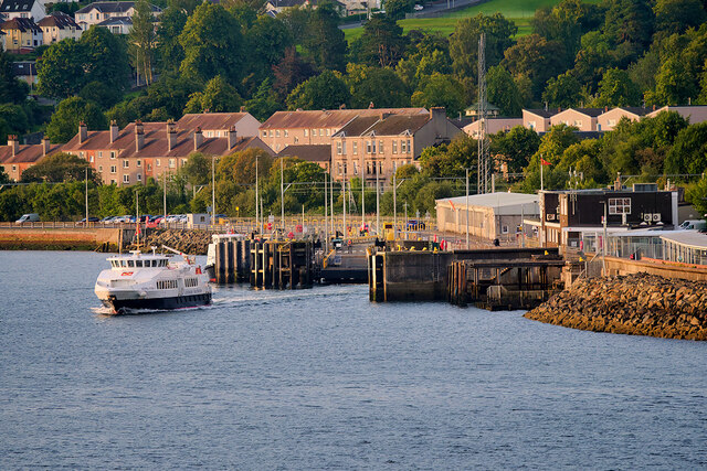
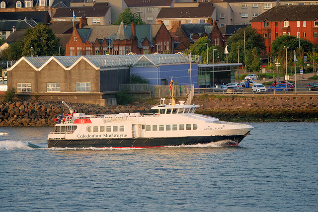
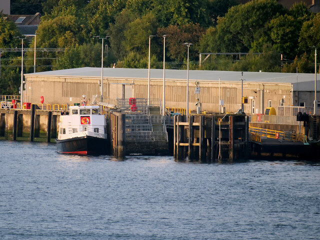
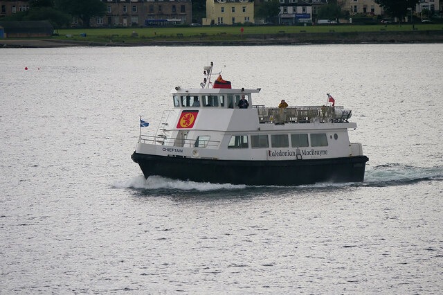
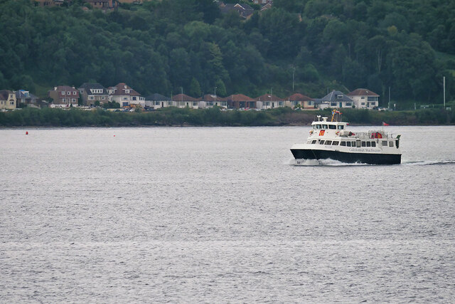
Gourock is well-connected to other parts of Scotland, thanks to its railway station, which provides regular services to Glasgow and further afield. The town also has a ferry terminal, offering frequent sailings to Dunoon and Kilcreggan, making it a popular gateway to the picturesque Cowal Peninsula.
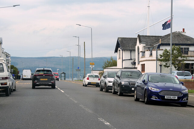
Outdoor enthusiasts are drawn to Gourock for its scenic beauty and recreational opportunities. The town boasts several parks and green spaces, including the waterfront promenade, which is ideal for leisurely walks and enjoying panoramic views. Gourock Outdoor Pool, a saltwater pool, is a unique attraction that has been enjoyed by locals and visitors since 1909.
Overall, Gourock is a charming coastal town with a rich history, stunning natural landscapes, and a close-knit community. Its convenient location and range of amenities make it an attractive place to live or visit in Renfrewshire.
If you have any feedback on the listing, please let us know in the comments section below.
Gourock Images
Images are sourced within 2km of 55.961342/-4.818638 or Grid Reference NS2477. Thanks to Geograph Open Source API. All images are credited.

Gourock is located at Grid Ref: NS2477 (Lat: 55.961342, Lng: -4.818638)
Unitary Authority: Inverclyde
Police Authority: Renfrewshire and Inverclyde
What 3 Words
///guitar.attaching.scatters. Near Gourock, Inverclyde
Nearby Locations
Related Wikis

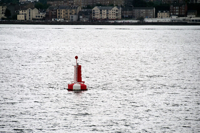
Granny Kempock Stone
The megalithic Kempock Stone, popularly known as Granny Kempock (perhaps because of its resemblance to an old woman), stands on a cliff behind Kempock...
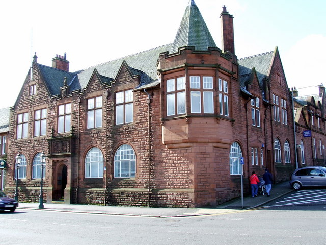
Municipal Buildings, Gourock
The Municipal Buildings are based in Shore Street, Gourock, Inverclyde, Scotland. The structure, which is used as a business centre, is a Category C listed...

Gourock railway station
Gourock railway station is a terminus of the Inverclyde Line, located at Gourock pierhead, Scotland, and serves the town as well as the ferry services...
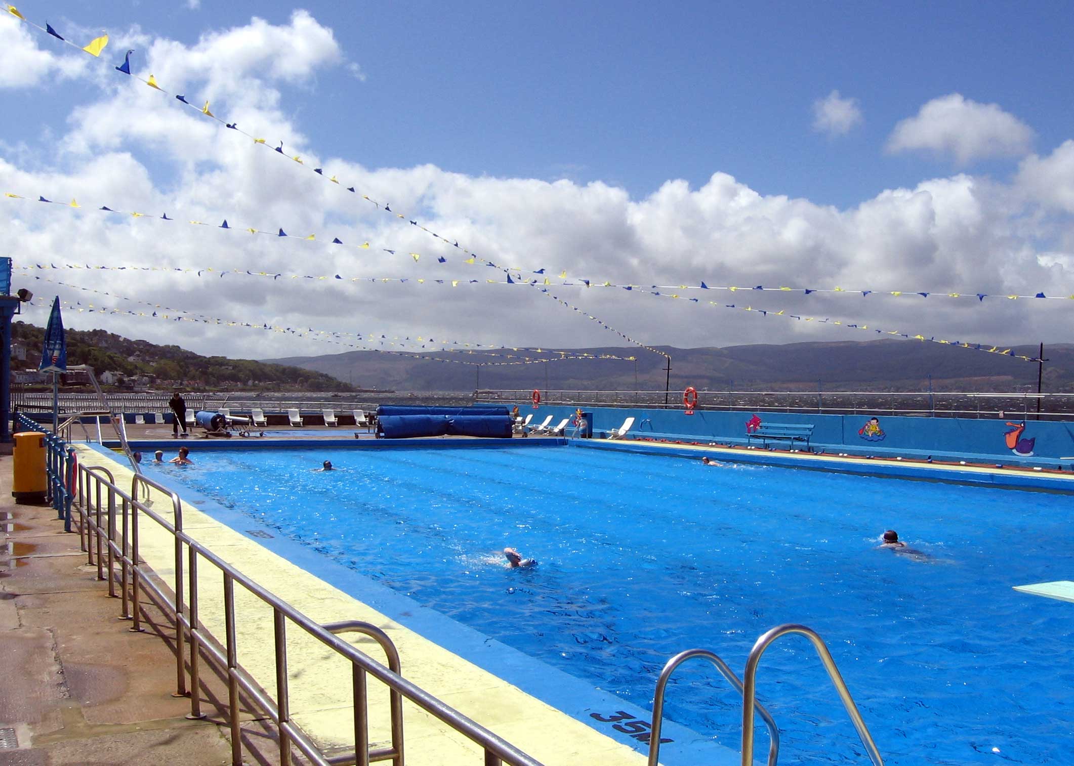
Gourock Outdoor Pool
Gourock Outdoor Pool is a salt water public lido in Gourock, Inverclyde, Scotland. It is the oldest heated swimming pool in Scotland. == Description... ==

Gourock High School
Gourock High School was a non-denominational comprehensive school catering for boys and girls, 11–18 years of age, in Gourock, Renfrewshire, Scotland....
Cragburn Pavilion
The Cragburn Pavilion was built in Gourock in 1935-6 by J. & J.A. Carrick, in brick and stucco with prominent art deco fluting along its front North-facing...

Gourock
Gourock ( GOOR-ək; Scottish Gaelic: Guireag [ˈkuɾʲak]) is a town in the Inverclyde council area and formerly a burgh of the County of Renfrew in the west...
Fort Matilda
Fort Matilda is a suburb at the far western edge of Greenock, Scotland. Its name comes from a coastal battery built on Whiteforeland Point 1814–1819 to...
Related Videos

Scotland Esplanade Walking Tour | We walk the Esplanade, Battery Park, and streets of Greenock.
Scotland Esplanade Walking Tour | Join us as we walk the Esplanade in Scotland and visit Battery Park, plus walking streets of ...

SWEET TREAT for SCOTTISH HIKING | SAFFRON RICE PUDDING
One of the benefits of living in Scotland is that I get to do a lot of hill-walking. I am sharing what a usual day of hiking for me looks ...

Lunderston Bay Play Park - Gourock Inverclyde
Lunderston Bay Playground, Gourock PA19 1BB. A new play park for families right next to the beach with toilets and lunch options ...
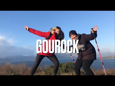
Tower Hill in Gourock
Sam and I head out to Gourock for the day to walk up Tower Hill!
Nearby Amenities
Located within 500m of 55.961342,-4.818638Have you been to Gourock?
Leave your review of Gourock below (or comments, questions and feedback).