Gossard's Green

Settlement in Bedfordshire

England

Gossard's Green

Marston Hill entering Cranfield 30 limit
Marston Hill entering Cranfield 30 limit Credit: Robin Webster

Gossard's Green is a small village located in the county of Bedfordshire, England. Situated approximately 6 miles east of Bedford, the village is nestled in a rural setting, surrounded by fields and countryside. It falls under the administrative district of Central Bedfordshire.

The history of Gossard's Green can be traced back several centuries. The village was originally established as an agricultural settlement, and evidence of its farming heritage can still be seen today. The charming village is characterized by its traditional, picturesque cottages and well-maintained gardens, which add to its overall appeal.

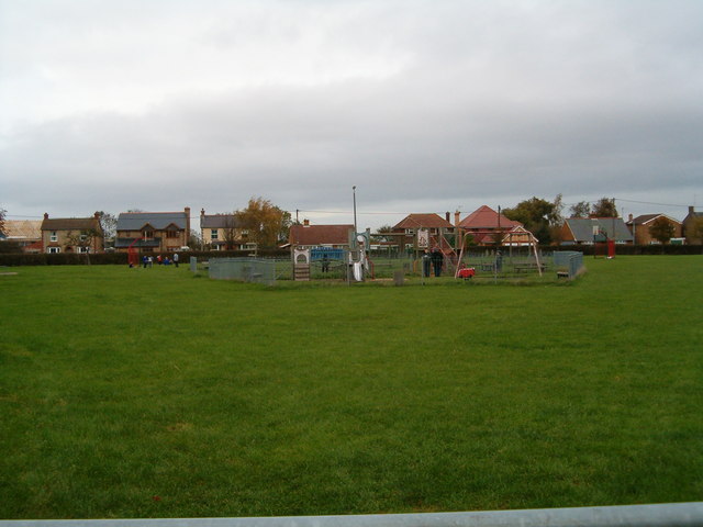
Despite its small size, Gossard's Green offers a number of amenities for its residents. These include a primary school, a village hall, and a local pub, which serves as a hub for socializing and community events. The village also benefits from a strong sense of community spirit, with various clubs and organizations catering to different interests and age groups.

For outdoor enthusiasts, Gossard's Green provides ample opportunities for leisure activities. The surrounding countryside offers scenic walking routes and cycling paths, allowing residents to enjoy the natural beauty of the area. Additionally, the village is within close proximity to a number of nature reserves and parks, providing further options for outdoor recreation.

Overall, Gossard's Green is a peaceful and idyllic village that offers a tranquil escape from the hustle and bustle of urban life. With its rich history, close-knit community, and beautiful surroundings, it is a desirable place to live for those seeking a quintessential English village experience.

If you have any feedback on the listing, please let us know in the comments section below.

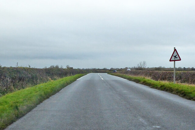
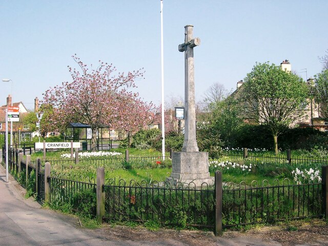
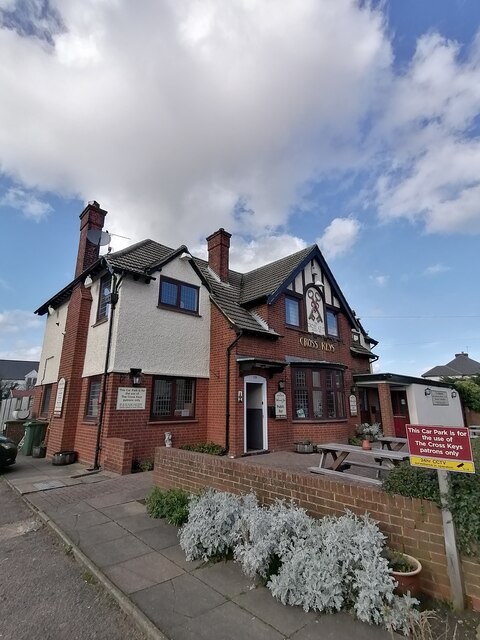
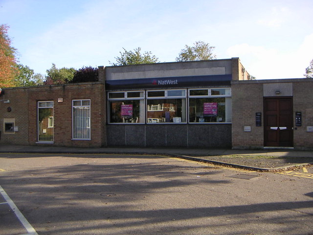
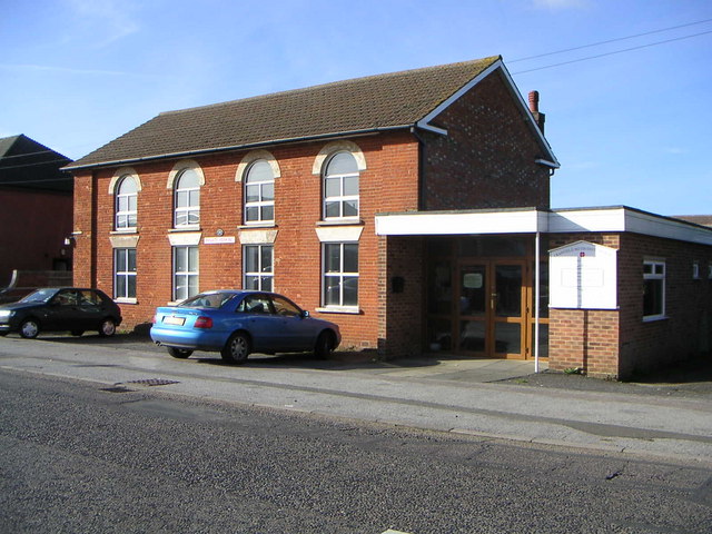
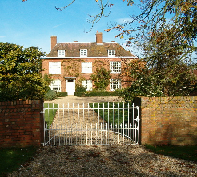
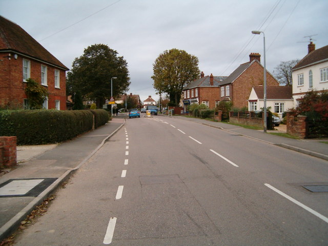
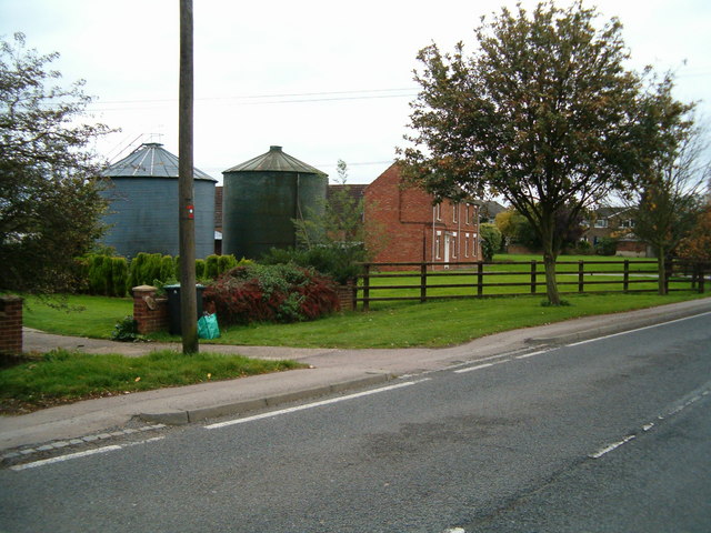
Gossard's Green Images

Images are sourced within 2km of 52.081044/-0.599758 or Grid Reference SP9643. Thanks to Geograph Open Source API. All images are credited.

Marston Hill entering Cranfield 30 limit
Crawley Road, Cranfield The road passes the end of the Cranfield airfield runway. The sign, on the wrong side of the road, has been reversed by wind or some other agency, as the runway centreline is behind the camera.
Crawley Road, Cranfield
The road passes the end of the Cranfield airfield runway. The sign, on the wrong side of the road, has been reversed by wind or some other agency, as the runway centreline is behind the camera.
Crawley Road towards North Crawley
Crawley Road towards North Crawley From Cranfield.
Crawley Road towards North Crawley
From Cranfield.
War Memorial, Cranfield Situated on the corner of the High Street and Church Walk.
War Memorial, Cranfield
Situated on the corner of the High Street and Church Walk.
The Cross Keys public house Cranfield
Natwest Bank, Cranfield University A Natwest Bank branch located on the Cranfield University campus.
Natwest Bank, Cranfield University
A Natwest Bank branch located on the Cranfield University campus.
Cranfield Methodist Church Meeting Hall & Methodist Church located in Cranfield along the main road.
Cranfield Methodist Church
Meeting Hall & Methodist Church located in Cranfield along the main road.
Old Tractor An old tractor sat in the farmyard at the end of the road at East End.
Old Tractor
An old tractor sat in the farmyard at the end of the road at East End.
East End An impressive house in East End.
East End
An impressive house in East End.
Path to the woods A path across farmland on the Buckinghamshire/Bedfordshire border.
Path to the woods
A path across farmland on the Buckinghamshire/Bedfordshire border.
Cranfield The main road running through Cranfield village.
Cranfield
The main road running through Cranfield village.
East End, Cranfield Where rural life and village life meet.  A couple of silos in the middle of a row of houses.
East End, Cranfield
Where rural life and village life meet. A couple of silos in the middle of a row of houses.
Broad Green, Cranfield A children's play area in the middle of the village green.
Broad Green, Cranfield
A children's play area in the middle of the village green.
Cranfield United Sportsground on the edge of Cranfield village.
Cranfield United
Sportsground on the edge of Cranfield village.
Round the back Looking across at the back of the high street in Cranfield from Lodge Lane.
Round the back
Looking across at the back of the high street in Cranfield from Lodge Lane.
Cranfield Church The parish church, Cranfield.
Cranfield Church
The parish church, Cranfield.
Baptist Church The Baptist church, East End, Cranfield.
Baptist Church
The Baptist church, East End, Cranfield.
Show me another place!

Gossard's Green is located at Grid Ref: SP9643 (Lat: 52.081044, Lng: -0.599758)

Unitary Authority: Central Bedfordshire

Police Authority: Bedfordshire

What 3 Words

///croak.navy.cabbies. Near Cranfield, Bedfordshire

Related Wikis

Cranfield United F.C.

Cranfield United Football Club is a football club based in Cranfield, near Bedford, Bedfordshire, England. The club is affiliated to the Bedfordshire County...
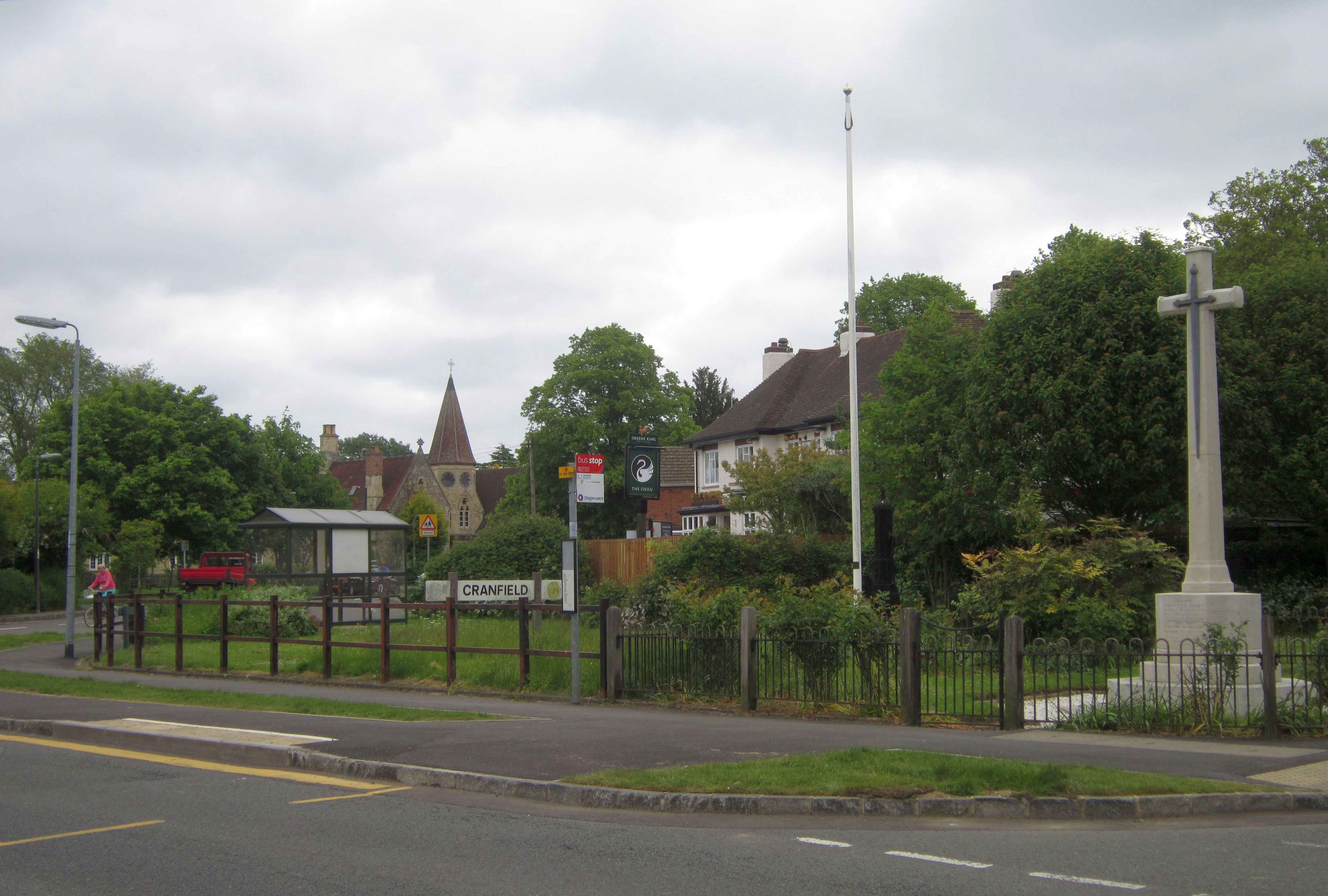
Cranfield

Cranfield is a village and civil parish in the west of Bedfordshire, England, situated between Bedford and Milton Keynes. It had a population of 4,909...

Cranfield Airport

Cranfield Airport (ICAO: EGTC) is an airfield just outside the village of Cranfield, in Bedfordshire, England. It is 7 NM (13 km; 8.1 mi) south-west of...

Church of St Peter & St Paul, Cranfield

Church of St Peter & St Paul is a Grade I listed church in Cranfield, Bedfordshire, England. It became a listed building on 23 January 1961. == See... ==

Nearby Amenities

Located within 500m of 52.081044,-0.599758
Turning Circle
Turning Circle: hammer
Lat/Long: 52.0774241/-0.5956806
Post Box
Check Date: 2021-04-30
Collection Times: Mo-Fr 16:00; Sa 08:00
Operator: Royal Mail
Post Box Type: lamp
Ref: MK43 384
Royal Cypher: EIIR
Royal Cypher Wikidata: Q33102113
Lat/Long: 52.0767617/-0.5989929
Man Made: tower
Source: Bing
Tower Type: communication
Lat/Long: 52.0804/-0.6050151
Aeroway: navigationaid
Navigationaid: als
Lat/Long: 52.0819614/-0.6068297
Aeroway: navigationaid
Navigationaid: als
Lat/Long: 52.082189/-0.6065981
Aeroway: navigationaid
Navigationaid: als
Lat/Long: 52.0824218/-0.6063678
Traffic Calming: table
Lat/Long: 52.079306/-0.6014994
Turning Loop
Lat/Long: 52.0810486/-0.5968927
Barrier: stile
Lat/Long: 52.0839666/-0.6028744
Barrier: stile
Lat/Long: 52.0828579/-0.6017175
Noexit: yes
Lat/Long: 52.0778041/-0.6021459
Noexit: yes
Lat/Long: 52.0778886/-0.6022624
Traffic Calming: table
Lat/Long: 52.0800025/-0.6024712
Turning Circle
Turning Circle: knuckle
Lat/Long: 52.0770161/-0.6003252
Direction: 265
Generator Method: photovoltaic
Generator Output Electricity: yes
Generator Solar Modules: 8
Generator Source: solar
Generator Type: solar_photovoltaic_panel
Location: roof
Power: generator
Lat/Long: 52.0818859/-0.5993995
Direction: 85
Generator Method: photovoltaic
Generator Output Electricity: yes
Generator Solar Modules: 8
Generator Source: solar
Generator Type: solar_photovoltaic_panel
Location: roof
Power: generator
Lat/Long: 52.0818859/-0.5993472
Direction: 210
Generator Method: photovoltaic
Generator Output Electricity: yes
Generator Solar Modules: 15
Generator Source: solar
Generator Type: solar_photovoltaic_panel
Location: roof
Power: generator
Lat/Long: 52.0773563/-0.596043
Direction: 210
Generator Method: photovoltaic
Generator Output Electricity: yes
Generator Solar Modules: 16
Generator Source: solar
Generator Type: solar_photovoltaic_panel
Location: roof
Power: generator
Lat/Long: 52.0778919/-0.5975093
Direction: 115
Generator Method: photovoltaic
Generator Output Electricity: yes
Generator Solar Modules: 18
Generator Source: solar
Generator Type: solar_photovoltaic_panel
Location: roof
Power: generator
Lat/Long: 52.0786318/-0.5974501
Direction: 215
Generator Method: photovoltaic
Generator Output Electricity: yes
Generator Solar Modules: 8
Generator Source: solar
Generator Type: solar_photovoltaic_panel
Location: roof
Power: generator
Lat/Long: 52.078288/-0.5948515
Turning Circle
Turning Circle: knuckle
Lat/Long: 52.0778101/-0.5953355
Addr Country: GB
Addr Housenumber: 9
Addr Street: Crawley Road
Lat/Long: 52.0785804/-0.6005801
The data included in this document is from www.openstreetmap.org. The data is made available under ODbL.

Have you been to Gossard's Green?

Leave your review of Gossard's Green below (or comments, questions and feedback).