Bird Pond
Lake, Pool, Pond, Freshwater Marsh in Somerset Somerset West and Taunton
England
Bird Pond

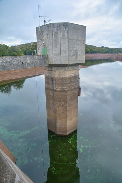
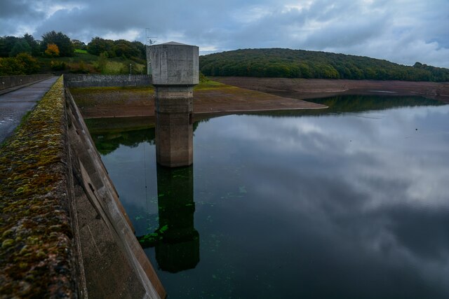
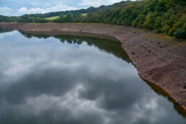
Bird Pond is a picturesque freshwater marsh located in Somerset, England. Covering an area of approximately 10 acres, it is renowned for its diverse bird population and tranquil natural beauty. The pond is situated within a larger nature reserve, surrounded by lush vegetation and tall reeds that provide a sanctuary for various avian species.
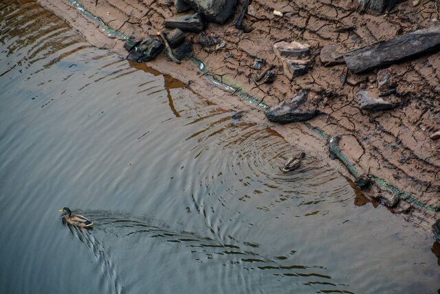
The pond itself is shallow and boasts crystal-clear water, making it an ideal habitat for a wide range of waterfowl. Mallards, moorhens, and coots are commonly sighted, while the occasional heron gracefully wades through the shallows in search of prey. Bird enthusiasts flock to the area to observe and photograph the stunning array of species that call Bird Pond home.
Surrounding the pond, a network of walking trails offers visitors the opportunity to explore the surrounding wetland ecosystem. These paths wind through dense woodlands, where one can catch glimpses of warblers, thrushes, and other woodland birds. The diversity of habitats makes Bird Pond an important site for both resident and migratory birds, attracting birdwatchers from far and wide.
In addition to its ecological significance, Bird Pond also serves as a recreational spot for locals and visitors alike. Families often gather on its grassy banks for picnics, while children delight in feeding the ducks and swans that gracefully glide across the water's surface. The peaceful ambiance and abundant wildlife make Bird Pond a popular destination for nature lovers seeking solace and a connection with the natural world.
If you have any feedback on the listing, please let us know in the comments section below.
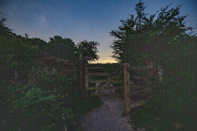
Bird Pond Images
Images are sourced within 2km of 51.049964/-3.4901352 or Grid Reference SS9528. Thanks to Geograph Open Source API. All images are credited.


Bird Pond is located at Grid Ref: SS9528 (Lat: 51.049964, Lng: -3.4901352)
Administrative County: Somerset
District: Somerset West and Taunton
Police Authority: Avon and Somerset
What 3 Words
///curtains.backpack.protected. Near Dulverton, Somerset
Nearby Locations
Related Wikis

Haddon Hill
Haddon Hill is a prominent east–west aligned ridge in west Somerset, England, close to Hartford within the civil parish of Brompton Regis. It lies on the...

Bury Bridge
Bury Bridge at Bury in the parish of Brompton Regis within the English county of Somerset is a medieval packhorse bridge. It has been scheduled as an ancient...
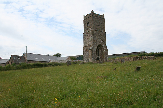
Old Church of St James, Upton
The Old St James's Church is a former church in the village of Upton, Somerset, England, of which only the tower remains, overlooking Wimbleball Lake....
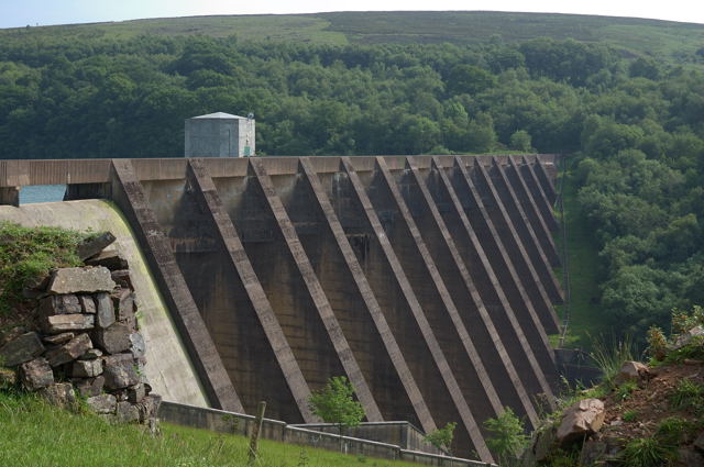
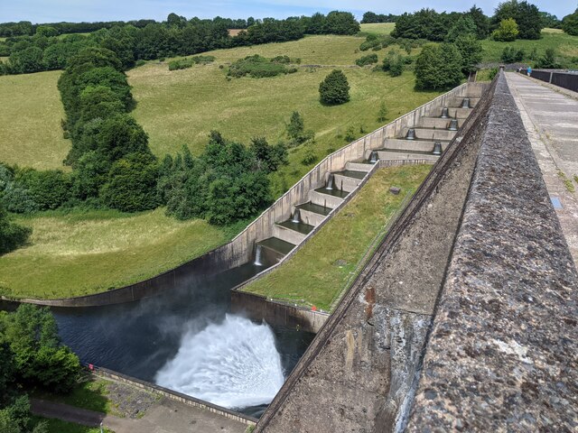
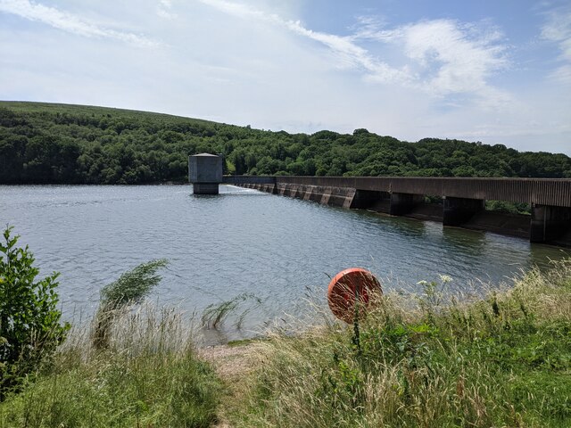
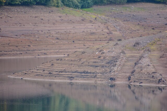
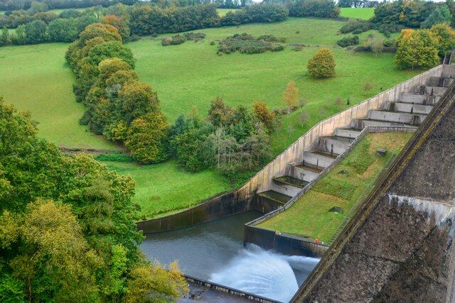
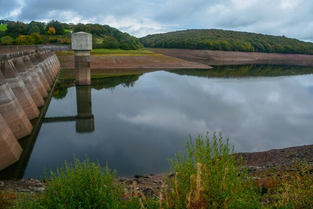
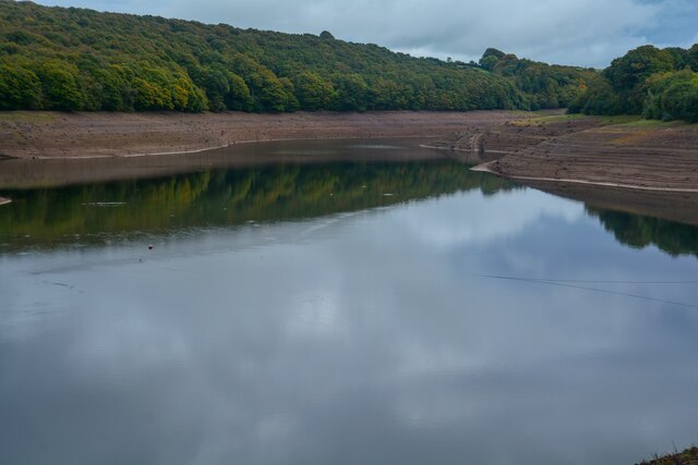
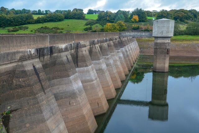
Wimbleball Lake
Wimbleball Lake on Exmoor in Somerset, England, is a water supply reservoir constructed in the 1970s and completed in 1979. The 161 feet (49 m) high dam...

Brompton Regis
Brompton Regis (formerly known as Kingsbrompton) is a village and civil parish in the Somerset West and Taunton district of Somerset, England about 5 miles...

Church of St Mary, Brompton Regis
The Anglican Church of St Mary in Brompton Regis, Somerset, England was built in the 13th century. It is a Grade II* listed building. == History == The...

Bury Castle, Brompton Regis
Bury Castle near Brompton Regis in the English county of Somerset was an Iron Age univallate hillfort which was reused with the creation of a motte after...

River Haddeo
The River Haddeo on Exmoor in Somerset, England flows from the Wimbleball Lake to the River Exe. The valley of the river consists of three tributary valleys...
Nearby Amenities
Located within 500m of 51.049964,-3.4901352Have you been to Bird Pond?
Leave your review of Bird Pond below (or comments, questions and feedback).