Waderscrape

Lake, Pool, Pond, Freshwater Marsh in Glamorgan

Wales

Waderscrape

Cefn Cribwr Playing Fields Situated south of the B4281 main road, close to the western edge of the grid square.
Cefn Cribwr Playing Fields Credit: Chris Shaw

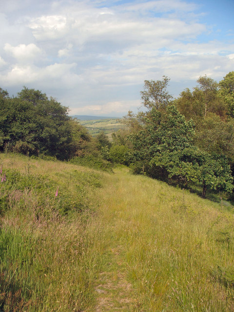
Waderscrape is a picturesque freshwater marsh located in Glamorgan, a county in South Wales, United Kingdom. This area is renowned for its natural beauty and rich biodiversity, making it a popular destination for nature enthusiasts and birdwatchers.

Spanning over an area of approximately 10 hectares, Waderscrape is a complex wetland ecosystem comprising a lake, pool, pond, and freshwater marsh. The lake forms the central feature of the site, surrounded by reed beds and tall grasses. This habitat is particularly attractive to a wide variety of water birds, including herons, ducks, geese, and waders. The pool and pond provide additional habitats for amphibians and aquatic invertebrates, contributing to the overall ecological diversity of the area.

The freshwater marsh at Waderscrape is characterized by its diverse plant life, including sedges, rushes, and various species of water lilies. These plants create a rich habitat for insects, which in turn attract insect-eating birds. The marsh is also home to a number of rare and endangered plant species, making it of great ecological importance.

The site is equipped with several viewing hides and observation points, allowing visitors to observe the abundant birdlife without causing disturbance. Waderscrape is particularly popular during the spring and autumn migration seasons when large flocks of birds stop here to rest and feed.

Managed by local wildlife conservation organizations, Waderscrape is actively maintained to ensure the preservation of its delicate ecosystem. Educational programs and guided tours are regularly organized to raise awareness about the importance of wetland conservation and to provide visitors with a deeper understanding of the area's unique flora and fauna.

If you have any feedback on the listing, please let us know in the comments section below.

Waderscrape Images

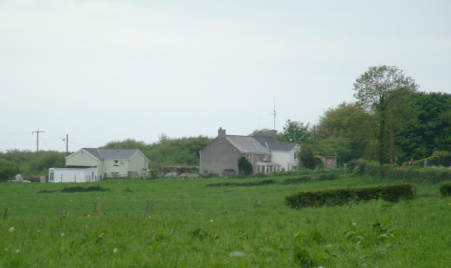
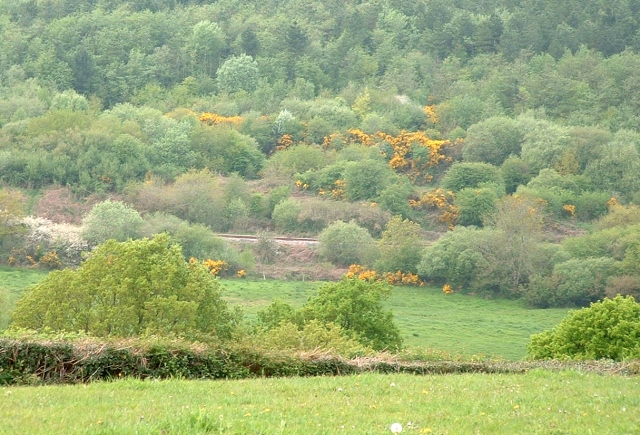
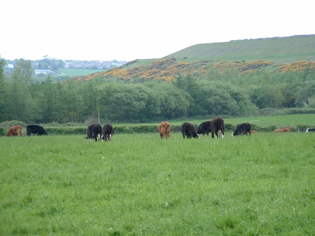
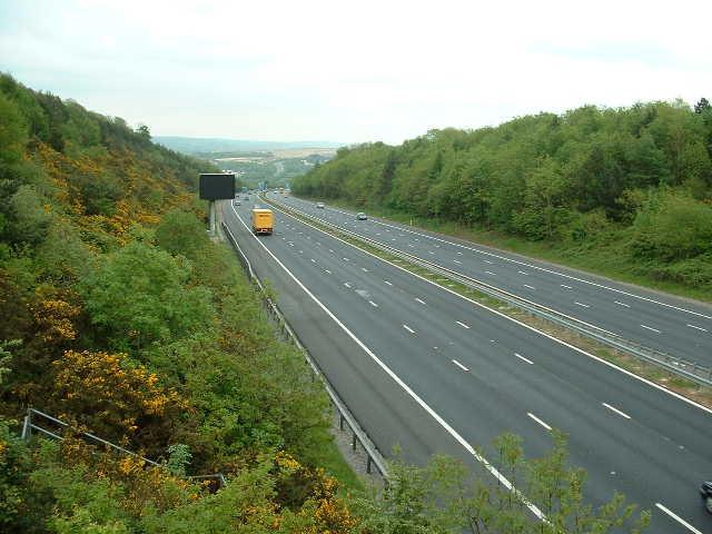
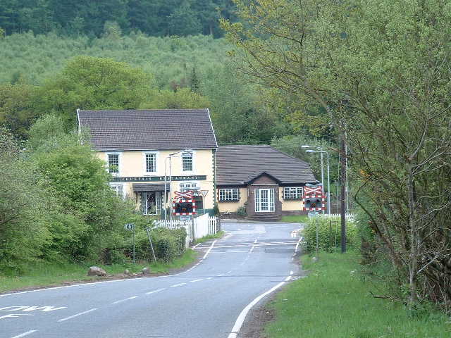
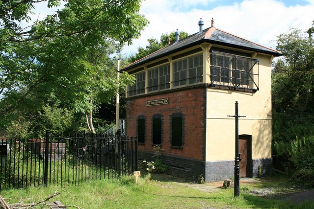
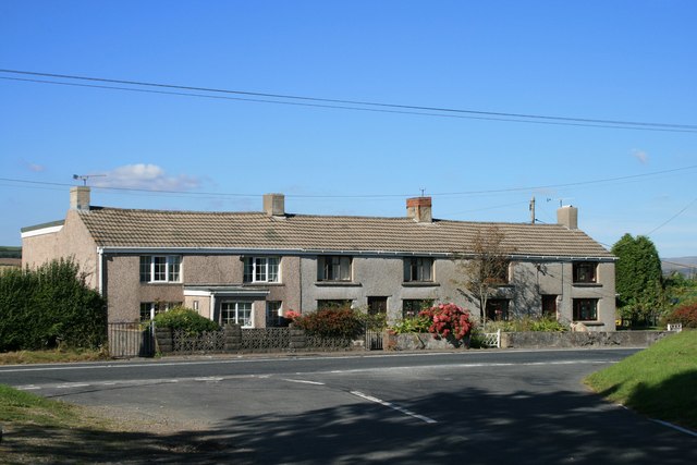
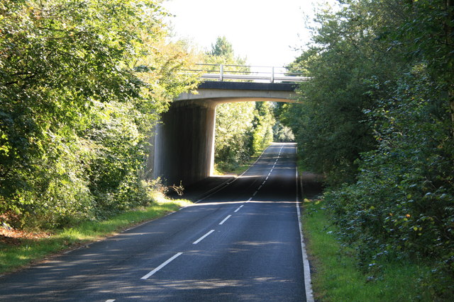
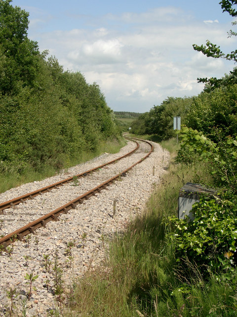
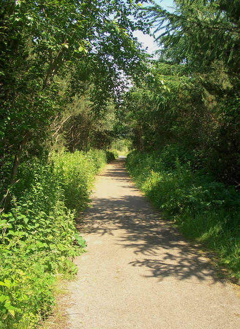
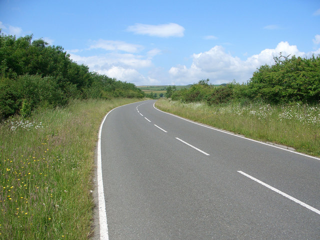
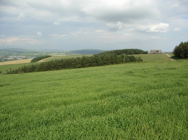
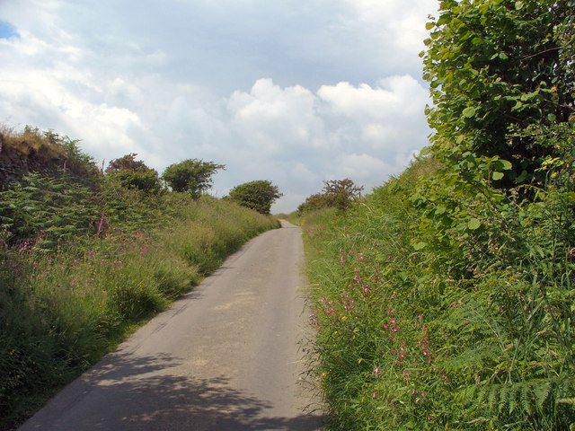
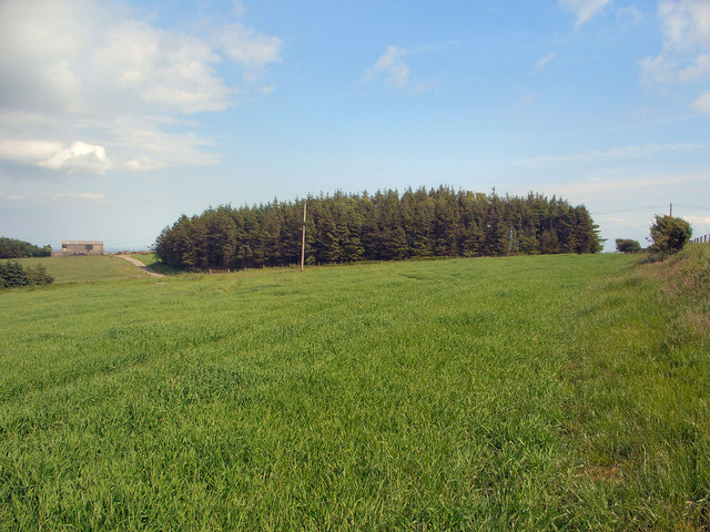
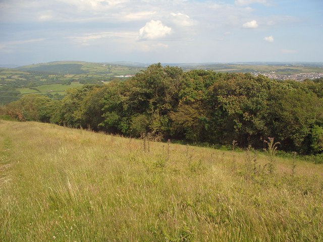
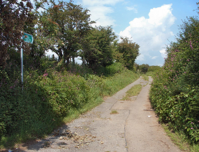
Images are sourced within 2km of 51.54233/-3.6227152 or Grid Reference SS8783. Thanks to Geograph Open Source API. All images are credited.

Cefn Cribwr Playing Fields Situated south of the B4281 main road, close to the western edge of the grid square.
Cefn Cribwr Playing Fields
Situated south of the B4281 main road, close to the western edge of the grid square.
Ffordd-y-Gyfraith Cottages situated South of the crossroads - taken from the East.
Ffordd-y-Gyfraith
Cottages situated South of the crossroads - taken from the East.
Railway and Nature Reserve Looking down the hillside right into the centre of the square - the railway track can be seen and part of the nature park beyond.
Railway and Nature Reserve
Looking down the hillside right into the centre of the square - the railway track can be seen and part of the nature park beyond.
Cows and hills Looking south from the lane
Cows and hills
Looking south from the lane
M4 Eastbound Looking East across the square towards the Bridgend junction.
M4 Eastbound
Looking East across the square towards the Bridgend junction.
Fountain pub and crossing Looking South down the lane towards the B4281 junction.
Fountain pub and crossing
Looking South down the lane towards the B4281 junction.
Cefn Junction Signal Box The signal box started work in 1898 at the junction made by the newly-opened Port Talbot line and the older Porthcawl Branch. By 1974 the Porthcawl line (immediately in front of the signal box) had disappeared but the box and Port Talbot line remain.
Cefn Junction Signal Box
The signal box started work in 1898 at the junction made by the newly-opened Port Talbot line and the older Porthcawl Branch. By 1974 the Porthcawl line (immediately in front of the signal box) had disappeared but the box and Port Talbot line remain.
Cottages at Ty Cribbwr Hill
View of M4 motorway bridge
Railway  to the north of Cefn Cribwr Looking east-northeast along a stretch of the single track Margam to Tondu railway line at a point just to the north of the hamlet Cwm-ffos, near Cefn Cribwr. This line is reportedly used mainly for the transportation of coal from a nearby opencast site.
Railway to the north of Cefn Cribwr
Looking east-northeast along a stretch of the single track Margam to Tondu railway line at a point just to the north of the hamlet Cwm-ffos, near Cefn Cribwr. This line is reportedly used mainly for the transportation of coal from a nearby opencast site.
Cycleway/Path at Parc Slip Nature Reserve Looking eastwards along a path in Parc Slip Nature Reserve at a spot just to the north east of the point where the lane and railway in the grid square cross. The path seen is also a part of National Cycle Route 4.
Cycleway/Path at Parc Slip Nature Reserve
Looking eastwards along a path in Parc Slip Nature Reserve at a spot just to the north east of the point where the lane and railway in the grid square cross. The path seen is also a part of National Cycle Route 4.
Wide road to the south of Ffordd-y-Gyfraith Looking north-northeast along a stretch of the road running from Cefn Cross to Ffordd-y-Gyfraith. To the south of the railway which runs through the grid square this thoroughfare is much more typical of the minor roads in the area, being a rather narrow and twisting lane.
Wide road to the south of Ffordd-y-Gyfraith
Looking north-northeast along a stretch of the road running from Cefn Cross to Ffordd-y-Gyfraith. To the south of the railway which runs through the grid square this thoroughfare is much more typical of the minor roads in the area, being a rather narrow and twisting lane.
High fields and woodland to the west of Coytrahen Looking roughly eastwards over fields and patches of woodland on Mynydd Baedan from a footpath location in the western half of the grid square. The photograph covers much of the land in the middle and the north-eastern quarter of the square. The barn visible to the right lies close to the square's centre whereas scrutiny of Ordnance Survey's 1:25,000 map reveals that the eastern margin of the square passes through the rather isolated hillside line of trees towards the left of the picture. This line of trees also lies just a little to the south of the square's northern edge.
High fields and woodland to the west of Coytrahen
Looking roughly eastwards over fields and patches of woodland on Mynydd Baedan from a footpath location in the western half of the grid square. The photograph covers much of the land in the middle and the north-eastern quarter of the square. The barn visible to the right lies close to the square's centre whereas scrutiny of Ordnance Survey's 1:25,000 map reveals that the eastern margin of the square passes through the rather isolated hillside line of trees towards the left of the picture. This line of trees also lies just a little to the south of the square's northern edge.
Ascending lane to the north of Ffordd-y-Gyfraith View, looking north-northwest from a point in the south of the grid square, of a lane nearing the end of a climb begun in the hamlet Ffordd-y-Gyfraith to the south.
Ascending lane to the north of Ffordd-y-Gyfraith
View, looking north-northwest from a point in the south of the grid square, of a lane nearing the end of a climb begun in the hamlet Ffordd-y-Gyfraith to the south.
Field and conifer plantation to the west of Coytrahen Photograph taken from a similar spot to <a href="https://www.geograph.org.uk/photo/847955">SS8785 : High fields and woodland to the west of Coytrahen</a>  though offering a more southerly view and showing a conifer plantation (mostly) not included in that other picture.
Field and conifer plantation to the west of Coytrahen
Photograph taken from a similar spot to SS8785 : High fields and woodland to the west of Coytrahen though offering a more southerly view and showing a conifer plantation (mostly) not included in that other picture.
Woodland edge to the west of Coytrahen Looking roughly eastwards from a footpath towards an edge of the westernmost part of an area of woodland which occupies a good deal of the south of the grid square.
Woodland edge to the west of Coytrahen
Looking roughly eastwards from a footpath towards an edge of the westernmost part of an area of woodland which occupies a good deal of the south of the grid square.
Footpath/track by Mynydd Baedan Looking along an initial stage of a track, also a public footpath, running up Mynydd Baedan at the point of its junction with the lane which passes through the grid square.
Footpath/track by Mynydd Baedan
Looking along an initial stage of a track, also a public footpath, running up Mynydd Baedan at the point of its junction with the lane which passes through the grid square.
Footpath to the west of Coytrahen Looking along the public footpath which runs down from Mynydd Baedan into Coytrahen at a point where it runs along the edge of an area of woodland in the southern half of the grid square. The path may appear rather faint in the photograph although on the ground it seems well defined, with there being little chance of losing one's way.
Footpath to the west of Coytrahen
Looking along the public footpath which runs down from Mynydd Baedan into Coytrahen at a point where it runs along the edge of an area of woodland in the southern half of the grid square. The path may appear rather faint in the photograph although on the ground it seems well defined, with there being little chance of losing one's way.
Show me another place!

Waderscrape is located at Grid Ref: SS8783 (Lat: 51.54233, Lng: -3.6227152)

Unitary Authority: Bridgend

Police Authority: South Wales

What 3 Words

///riding.then.hypocrite. Near Aberkenfig, Bridgend

Related Wikis

Cwm Risca Meadow

Cwm Risca Meadow is a Site of Special Scientific Interest in Bridgend, south Wales. It is nationally important marshy grassland supporting the marsh fritillary...

Bryn–bach, Cefn Cribwr

Bryn–bach, Cefn Cribwr is a Site of Special Scientific Interest in Cefn Cribwr, south Wales. == See also == List of Sites of Special Scientific Interest...

Garw Valley Railway

The Garw Valley Railway is the trading name of the Bridgend Valleys Railway Company Limited. It operates a short section of 4 ft 8+1⁄2 in (1,435 mm) standard...

Tondu

Tondu (English: Black Meadow) is a village in Bridgend County Borough, Wales, located about 3 miles (4.8 km) north of the town of Bridgend, in the community...

Nearby Amenities

Located within 500m of 51.54233,-3.6227152
Parc Slip Colliery Disaster Memorial
Historic: memorial
Lat/Long: 51.539494/-3.6181818
Bittern Hide
Tourism: viewpoint
Lat/Long: 51.5428016/-3.6227427
Direction: S
Generator Method: photovoltaic
Generator Output Electricity: yes
Generator Solar Modules: 8
Generator Source: solar
Generator Type: solar_photovoltaic_panel
Location: roof
Power: generator
Lat/Long: 51.5466449/-3.6239547
The data included in this document is from www.openstreetmap.org. The data is made available under ODbL.

Have you been to Waderscrape?

Leave your review of Waderscrape below (or comments, questions and feedback).