Abbrook Pond

Lake, Pool, Pond, Freshwater Marsh in Devon Teignbridge

England

Abbrook Pond

Tor's Hill
Tor's Hill Credit: Roger Cornfoot

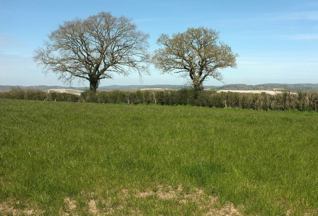
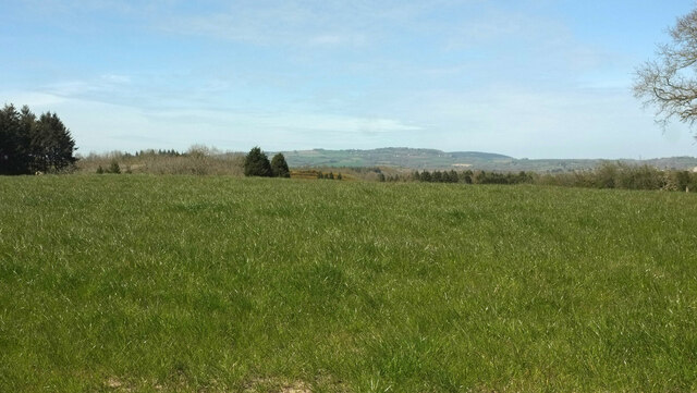
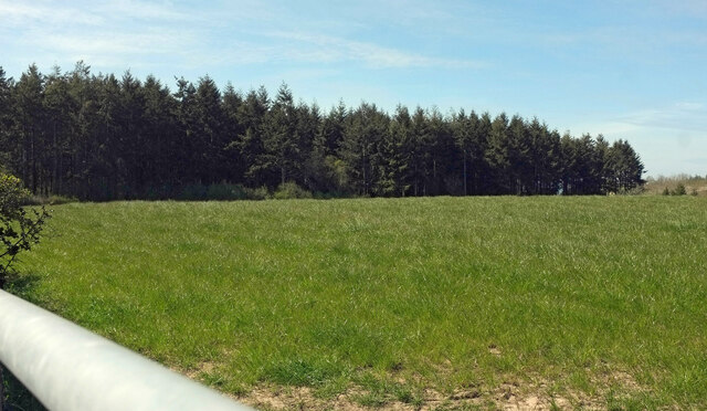
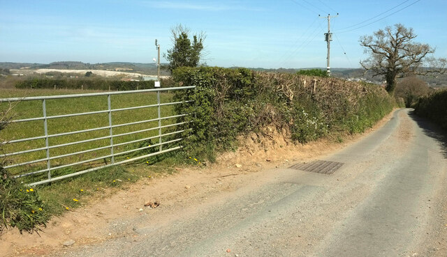
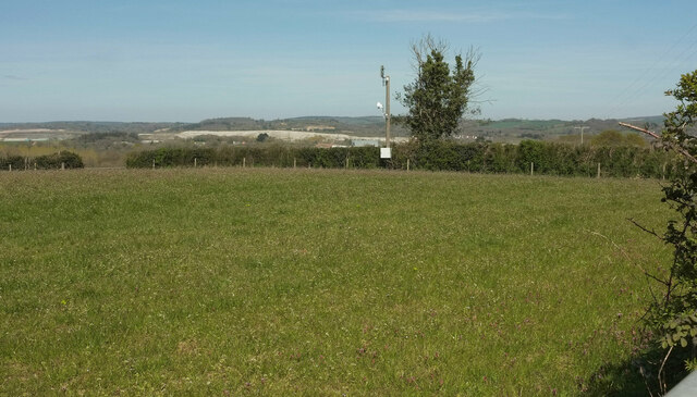
Abbrook Pond, located in Devon, England, is a picturesque freshwater body that can be classified as a pond or a lake. Spread over an area of approximately 4.5 acres, it is nestled in the charming Abbrook Valley, surrounded by lush greenery and rolling hills. The pond is part of the larger Abbrook Nature Reserve, which covers an extensive area of 22 acres.

The waters of Abbrook Pond are crystal clear and teeming with various species of freshwater fish, making it a popular spot for anglers. The pond is also home to a diverse range of aquatic plants, including lilies and reeds, which lend a vibrant touch to the surroundings.

In addition to its natural beauty, Abbrook Pond serves as an important habitat for several bird species. Visitors can often spot ducks, herons, and kingfishers, among others, gracefully gliding across the water or perched on branches along the banks. The tranquil atmosphere and rich biodiversity of the pond make it a haven for nature enthusiasts and birdwatchers.

The surrounding area of Abbrook Pond is dotted with walking trails, providing visitors with the opportunity to explore the diverse flora and fauna of the nature reserve. The pond itself offers recreational activities such as fishing and boating, allowing visitors to immerse themselves in the serene ambiance of the natural surroundings.

Overall, Abbrook Pond in Devon is a captivating freshwater body that showcases the beauty of nature in its purest form. With its abundant wildlife, scenic landscape, and recreational opportunities, it is a must-visit destination for those seeking a tranquil escape in the heart of Devon.

If you have any feedback on the listing, please let us know in the comments section below.
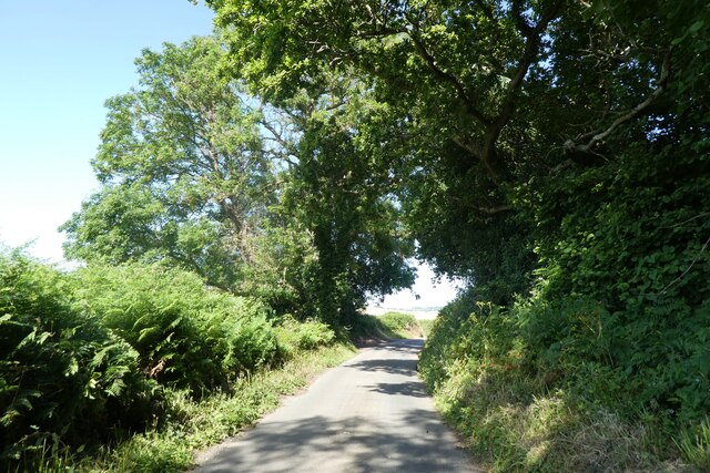
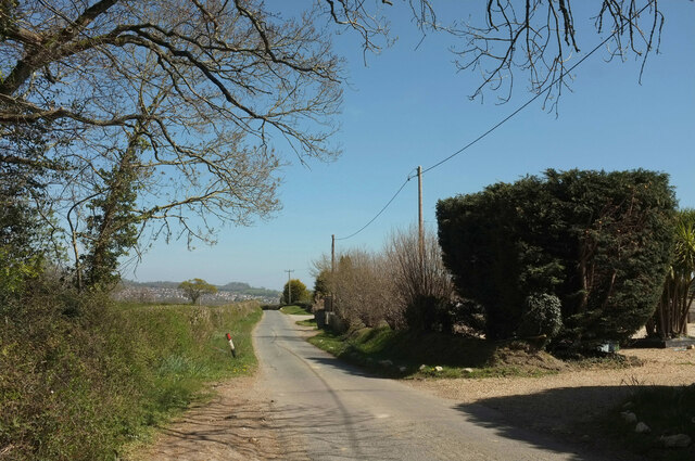
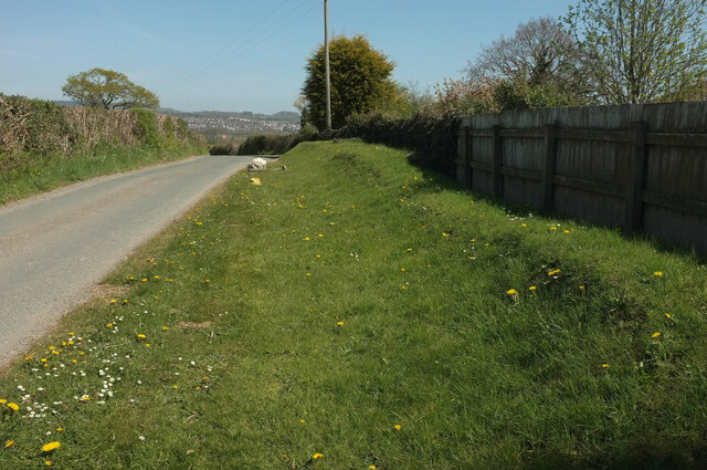
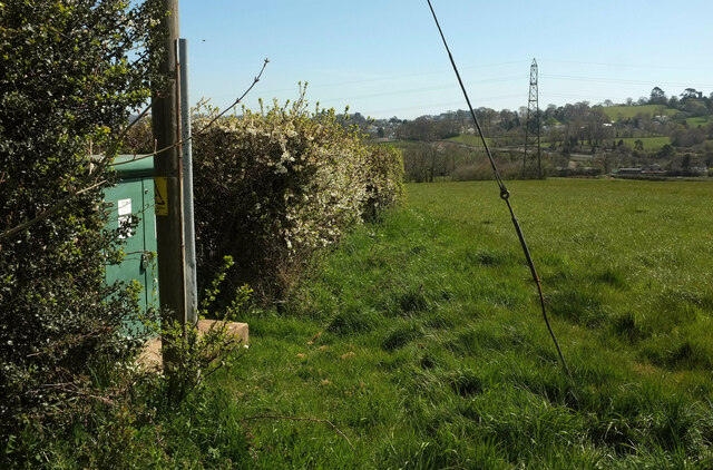
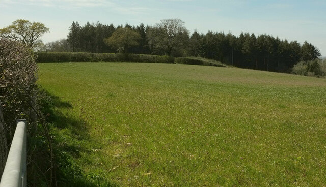
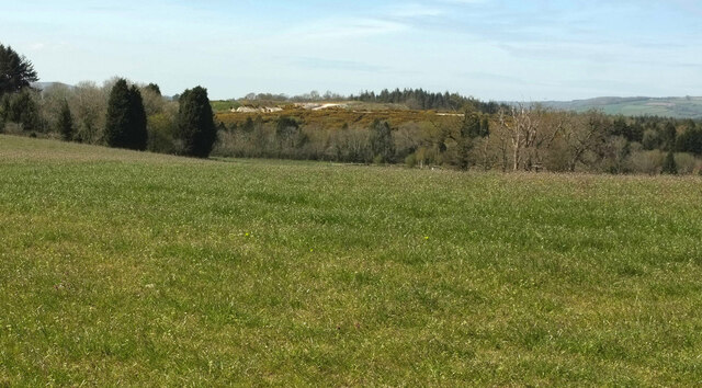
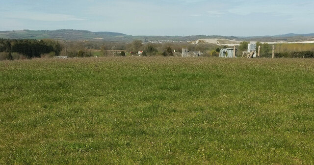
Abbrook Pond Images

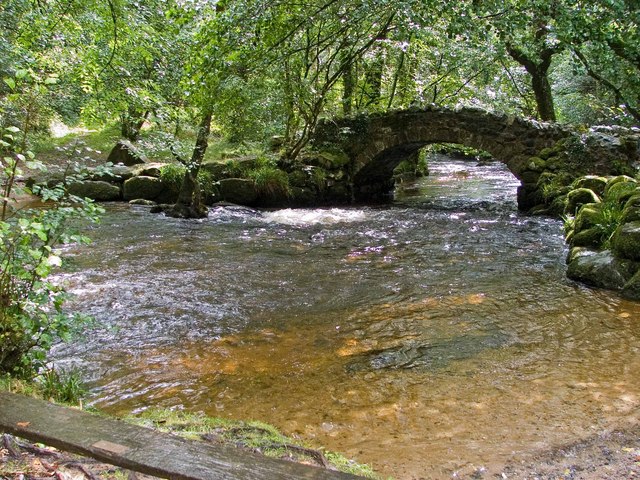
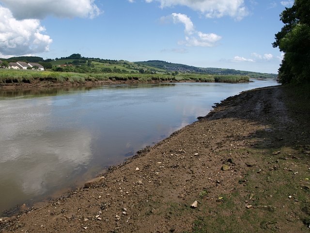
Images are sourced within 2km of 50.559022/-3.6062058 or Grid Reference SX8674. Thanks to Geograph Open Source API. All images are credited.

Tor's Hill
Tor's Hill
Slip road from the A380 at Kingsteignton
'Rhapsody'
'Rhapsody'
The A380 at Kingsteignton
Ferncombe Drive
Ferncombe Drive
Hestow Road
Hestow Road
Greycoat Lane Passing houses on the right. The houses in the distance are at Kingsteignton.
Greycoat Lane
Passing houses on the right. The houses in the distance are at Kingsteignton.
Entrance to pet cremation centre From Greycoat Lane.
Entrance to pet cremation centre
From Greycoat Lane.
Bank by Greycoat Lane A grassy bank just east of <a href="https://www.geograph.org.uk/photo/6952676">SX8473 : Entrance to pet cremation centre</a>.
Bank by Greycoat Lane
A grassy bank just east of SX8473 : Entrance to pet cremation centre.
Trees by Greycoat Lane Along a hedge on the north side of the road.
Trees by Greycoat Lane
Along a hedge on the north side of the road.
Field by Greycoat Lane Looking left from <a href="https://www.geograph.org.uk/photo/6952684">SX8473 : Trees by Greycoat Lane</a>. A curious parish boundary here, with a narrow extension of Newton Abbot parish extending across this field into Teigngrace.
Field by Greycoat Lane
Looking left from SX8473 : Trees by Greycoat Lane. A curious parish boundary here, with a narrow extension of Newton Abbot parish extending across this field into Teigngrace.
Butland's Plantation Looking left from <a href="https://www.geograph.org.uk/photo/6952689">SX8473 : Field by Greycoat Lane</a> across the same field.
Butland's Plantation
Looking left from SX8473 : Field by Greycoat Lane across the same field.
Greycoat Lane Passing gateways on each side as the road narrows considerably. A glimpse of the extensive clay pits in the Teign valley over the gate.
Greycoat Lane
Passing gateways on each side as the road narrows considerably. A glimpse of the extensive clay pits in the Teign valley over the gate.
Field and hedge by Greycoat Lane Looking right from <a href="https://www.geograph.org.uk/photo/6952704">SX8473 : Greycoat Lane</a>.
Field and hedge by Greycoat Lane
Looking right from SX8473 : Greycoat Lane.
Towards Butland's Plantation From the gate seen in <a href="https://www.geograph.org.uk/photo/6952704">SX8473 : Greycoat Lane</a>, looking back to the left.
Towards Butland's Plantation
From the gate seen in SX8473 : Greycoat Lane, looking back to the left.
Field by Greycoat Lane Looking right from <a href="https://www.geograph.org.uk/photo/6952729">SX8473 : Towards Butland's Plantation</a>. More clay working in evidence in the background - see also <a href="https://www.geograph.org.uk/photo/6952704">SX8473 : Greycoat Lane</a>,
Field by Greycoat Lane
Looking right from SX8473 : Towards Butland's Plantation. More clay working in evidence in the background - see also SX8473 : Greycoat Lane,
Field by Greycoat Lane Looking right from <a href="https://www.geograph.org.uk/photo/6952734">SX8473 : Field by Greycoat Lane</a> with Teigngrace church right of centre. I've no idea what's to the right of that. Clay pits in the background.
Field by Greycoat Lane
Looking right from SX8473 : Field by Greycoat Lane with Teigngrace church right of centre. I've no idea what's to the right of that. Clay pits in the background.
Field by Greycoat Lane Looking right from <a href="https://www.geograph.org.uk/photo/6952743">SX8473 : Field by Greycoat Lane</a>, with a curious utility pole.
Field by Greycoat Lane
Looking right from SX8473 : Field by Greycoat Lane, with a curious utility pole.
Show me another place!

Abbrook Pond is located at Grid Ref: SX8674 (Lat: 50.559022, Lng: -3.6062058)

Administrative County: Devon

District: Teignbridge

Police Authority: Devon and Cornwall

What 3 Words

///whirlwind.march.slice. Near Kingsteignton, Devon

Nearby Locations

Abbrook Pond

Related Wikis

Teign School

Teign School is an 11–18 academy school located in Kingsteignton, a town to the north of Newton Abbot. The original 1936 building has been expanded upon...

Teign Bridge

The Teign Bridge is a road bridge over the River Teign near Kingsteignton, Devon carrying the Exeter Road across the river. It has been Grade II listed...

River Bovey

The River Bovey rises on the eastern side of Dartmoor in Devon, England, and is the largest tributary to the River Teign. The river has two main source...

Teigngrace Halt railway station

Teigngrace Halt was a railway station opened as Teigngrace in 1867 by the Moretonhampstead and South Devon Railway. == History == The station was renamed...

Teigngrace

Teigngrace is a civil parish centred on a hamlet that lies about two miles north of the town of Newton Abbot in Devon, England. According to the 2001 census...

Kingsteignton

Kingsteignton ( king-STAYN-tən), is a town and civil parish in south Devon, England. It lies at the head of the Teign Estuary to the west of Teignmouth...

Newton Abbot Community Hospital

Newton Abbot Community Hospital is a health facility on Jetty Marsh Road in Newton Abbot, Devon, England. It is managed by Torbay and South Devon NHS Foundation...

Hackney Marshes, Devon

Hackney Marshes is a local nature reserve in Devon, England. It comprises a low-lying area of flood meadows located at the head of the Teign Estuary by...

Nearby Amenities

Located within 500m of 50.559022,-3.6062058
Design: barrel
Power: tower
Lat/Long: 50.5609933/-3.602646
Design: barrel
Power: tower
Lat/Long: 50.5604344/-3.6054947
Design: barrel
Power: tower
Lat/Long: 50.5594702/-3.6103296
Abbrook Park
Addr City: Newton Abbot
Addr Postcode: TQ12 3PS
Leisure: sports_centre
Lat/Long: 50.5593525/-3.6023406
Abbrook
Place: locality
Lat/Long: 50.5588506/-3.6028076
Sport: judo
Lat/Long: 50.5591588/-3.6031886
Pub
Sandygate Inn
Wikidata: Q26389311
Lat/Long: 50.5610332/-3.5999085
Addr City: Kingsteignton
Addr Housenumber: 1
Addr Street: Furze Cap
Lat/Long: 50.5593224/-3.6003883
Addr City: Kingsteignton
Addr Housenumber: 2
Addr Street: Furze Cap
Lat/Long: 50.5593974/-3.6003883
Addr City: Kingsteignton
Addr Housenumber: 9
Addr Street: Furze Cap
Lat/Long: 50.5596691/-3.6007572
Addr City: Kingsteignton
Addr Housenumber: 50
Addr Street: Furze Cap
Lat/Long: 50.5605628/-3.5998626
Addr City: Kingsteignton
Addr Housenumber: 38
Addr Street: Furze Cap
Lat/Long: 50.5601735/-3.6001536
Addr City: Kingsteignton
Addr Housenumber: 39
Addr Street: Furze Cap
Lat/Long: 50.5602008/-3.6003467
Addr City: Kingsteignton
Addr Housenumber: 58
Addr Street: Furze Cap
Lat/Long: 50.5603796/-3.599644
Addr City: Kingsteignton
Addr Housenumber: 83
Addr Street: Furze Cap
Lat/Long: 50.5594213/-3.6000289
Addr City: Kingsteignton
Addr Housenumber: 86
Addr Street: Furze Cap
Lat/Long: 50.5594723/-3.5994764
Parking
Lat/Long: 50.5589645/-3.6033672
Parking
Lat/Long: 50.5557142/-3.6031217
Addr City: Kingsteignton
Addr Housenumber: 2
Addr Street: Abbrook Avenue
Lat/Long: 50.5573458/-3.601193
Addr City: Kingsteignton
Addr Housenumber: 1
Addr Street: Abbrook Avenue
Lat/Long: 50.5570586/-3.6014532
Addr City: Kingsteignton
Addr Housenumber: 14
Addr Street: Abbrook Avenue
Lat/Long: 50.5574999/-3.6019735
Addr City: Kingsteignton
Addr Housenumber: 15
Addr Street: Abbrook Avenue
Lat/Long: 50.557298/-3.602577
Addr City: Kingsteignton
Addr Housenumber: 17
Addr Street: Abbrook Avenue
Lat/Long: 50.5573316/-3.6028126
Addr City: Kingsteignton
Addr Housenumber: 76
Addr Street: Newcross Park
Lat/Long: 50.5571067/-3.603113
Addr City: Kingsteignton
Addr Housenumber: 66
Addr Street: Newcross Park
Lat/Long: 50.5569951/-3.6027898
Addr City: Kingsteignton
Addr Housenumber: 64
Addr Street: Newcross Park
Lat/Long: 50.556725/-3.6027267
Barrier: cycle_barrier
Lat/Long: 50.5570726/-3.6032203
Addr City: Kingsteignton
Addr Housenumber: 67
Addr Street: Clifford Avenue
Lat/Long: 50.5573708/-3.6009619
Addr City: Kingsteignton
Addr Housenumber: 69
Addr Street: Clifford Avenue
Lat/Long: 50.5574092/-3.600762
Addr City: Kingsteignton
Addr Housenumber: 73
Addr Street: Clifford Avenue
Lat/Long: 50.5574586/-3.6004174
Addr City: Kingsteignton
Addr Housenumber: 75
Addr Street: Clifford Avenue
Lat/Long: 50.5574713/-3.6002269
Addr City: Kingsteignton
Addr Housenumber: 1
Addr Street: Meadowcroft Drive
Lat/Long: 50.5576281/-3.5995658
Addr City: Kingsteignton
Addr Housenumber: 11
Addr Street: Meadowcroft Drive
Lat/Long: 50.5581845/-3.5998286
Addr City: Kingsteignton
Addr Housenumber: 13
Addr Street: Meadowcroft Drive
Lat/Long: 50.5583336/-3.5999668
Addr City: Kingsteignton
Addr Housenumber: 27
Addr Street: Meadowcroft Drive
Lat/Long: 50.5579519/-3.601096
Addr City: Kingsteignton
Addr Housenumber: 29
Addr Street: Meadowcroft Drive
Lat/Long: 50.557928/-3.6002645
Addr City: Kingsteignton
Addr Housenumber: 31
Addr Street: Meadowcroft Drive
Lat/Long: 50.5577994/-3.6002886
Addr City: Kingsteignton
Addr Housenumber: 45
Addr Street: Meadowcroft Drive
Lat/Long: 50.5577883/-3.6015037
Addr City: Kingsteignton
Addr Housenumber: 51
Addr Street: Meadowcroft Drive
Lat/Long: 50.5575974/-3.6021903
Addr City: Kingsteignton
Addr Housenumber: 49
Addr Street: Meadowcroft Drive
Lat/Long: 50.5577815/-3.6019328
Addr City: Kingsteignton
Addr Housenumber: 28
Addr Street: Meadowcroft Drive
Lat/Long: 50.5587059/-3.5993164
Addr City: Kingsteignton
Addr Housenumber: 26
Addr Street: Meadowcroft Drive
Lat/Long: 50.5586011/-3.5994182
Addr City: Kingsteignton
Addr Housenumber: 2
Addr Street: Newcross Park
Lat/Long: 50.5548053/-3.6038814
Addr City: Kingsteignton
Addr Housenumber: 1
Addr Street: Newcross Park
Lat/Long: 50.5550797/-3.6041135
Addr City: Kingsteignton
Addr Housenumber: 20
Addr Street: Newcross Park
Lat/Long: 50.5555935/-3.6034456
Addr City: Kingsteignton
Addr Housenumber: 7
Addr Street: Newcross Park
Lat/Long: 50.555389/-3.6038104
Addr City: Kingsteignton
Addr Housenumber: 9
Addr Street: Newcross Park
Lat/Long: 50.5556012/-3.6039298
Addr City: Kingsteignton
Addr Housenumber: 11
Addr Street: Newcross Park
Lat/Long: 50.5555108/-3.6040303
Addr City: Kingsteignton
Addr Housenumber: 15
Addr Street: Newcross Park
Lat/Long: 50.5554418/-3.6041001
Addr City: Kingsteignton
Addr Housenumber: 21
Addr Street: Newcross Park
Lat/Long: 50.5555738/-3.6044085
Addr City: Kingsteignton
Addr Housenumber: 35
Addr Street: Newcross Park
Lat/Long: 50.5558866/-3.6039391
Addr City: Kingsteignton
Addr Housenumber: 22
Addr Street: Newcross Park
Lat/Long: 50.5558235/-3.6034751
Addr City: Kingsteignton
Addr Housenumber: 39
Addr Street: Newcross Park
Lat/Long: 50.5560843/-3.6037138
Addr City: Kingsteignton
Addr Housenumber: 49
Addr Street: Newcross Park
Lat/Long: 50.5561456/-3.6039928
Addr City: Kingsteignton
Addr Housenumber: 51
Addr Street: Newcross Park
Lat/Long: 50.5563433/-3.6038425
Addr City: Kingsteignton
Addr Housenumber: 61
Addr Street: Newcross Park
Lat/Long: 50.5562138/-3.6035636
Addr City: Kingsteignton
Addr Housenumber: 63
Addr Street: Newcross Park
Lat/Long: 50.5565648/-3.6034026
Addr City: Kingsteignton
Addr Housenumber: 71
Addr Street: Newcross Park
Lat/Long: 50.5566159/-3.6035636
Addr City: Kingsteignton
Addr Housenumber: 73
Addr Street: Newcross Park
Lat/Long: 50.5567275/-3.6033048
Addr City: Kingsteignton
Addr Housenumber: 83
Addr Street: Newcross Park
Lat/Long: 50.5568792/-3.6031854
Addr City: Kingsteignton
Addr Housenumber: 42
Addr Street: Newcross Park
Lat/Long: 50.5564251/-3.6029842
Addr City: Kingsteignton
Addr Housenumber: 44
Addr Street: Newcross Park
Lat/Long: 50.5565264/-3.6029104
Addr City: Kingsteignton
Addr Housenumber: 32
Addr Street: Newcross Park
Lat/Long: 50.5560502/-3.6033276
Addr City: Kingsteignton
Addr Housename: The Old Tollhouse
Lat/Long: 50.5556635/-3.6049661
Traffic Signals
Lat/Long: 50.5553066/-3.6050086
Traffic Signals
Lat/Long: 50.5584138/-3.6102361
Hot Pursuit
Addr City: Kingsteignton
Addr Housename: Sandygate Business Park
Addr Postcode: TQ12 3JG
Addr Street: Five Lanes
Shop: bicycle
Lat/Long: 50.557524/-3.6037366
Generator Method: photovoltaic
Generator Output Electricity: yes
Generator Source: solar
Generator Type: solar_photovoltaic_panel
Location: roof
Power: generator
Lat/Long: 50.5556732/-3.6042377
Generator Method: photovoltaic
Generator Output Electricity: yes
Generator Source: solar
Generator Type: solar_photovoltaic_panel
Location: roof
Power: generator
Lat/Long: 50.5557379/-3.6043397
Direction: WSW
Generator Method: photovoltaic
Generator Output Electricity: yes
Generator Solar Modules: 17
Generator Source: solar
Generator Type: solar_photovoltaic_panel
Location: roof
Power: generator
Lat/Long: 50.5580452/-3.6007106
Generator Method: photovoltaic
Generator Output Electricity: yes
Generator Source: solar
Generator Type: solar_photovoltaic_panel
Location: roof
Power: generator
Lat/Long: 50.5574564/-3.6002403
Generator Method: photovoltaic
Generator Output Electricity: yes
Generator Source: solar
Generator Type: solar_photovoltaic_panel
Location: roof
Power: generator
Lat/Long: 50.5574445/-3.5995751
Direction: SSE
Generator Method: photovoltaic
Generator Output Electricity: yes
Generator Solar Modules: 10
Generator Source: solar
Generator Type: solar_photovoltaic_panel
Location: roof
Power: generator
Lat/Long: 50.5580588/-3.5998004
Direction: WSW
Generator Method: photovoltaic
Generator Output Electricity: yes
Generator Solar Modules: 5
Generator Source: solar
Generator Type: solar_photovoltaic_panel
Location: roof
Power: generator
Lat/Long: 50.5580622/-3.5998768
Direction: SSW
Generator Method: photovoltaic
Generator Output Electricity: yes
Generator Solar Modules: 13
Generator Source: solar
Generator Type: solar_photovoltaic_panel
Location: roof
Power: generator
Lat/Long: 50.5583067/-3.5998836
Direction: 190
Generator Method: photovoltaic
Generator Output Electricity: yes
Generator Solar Modules: 13
Generator Source: solar
Generator Type: solar_photovoltaic_panel
Location: roof
Power: generator
Lat/Long: 50.5577415/-3.6015257
Bicycle Parking
Access: yes
Bicycle Parking: stands
Capacity: 16
Covered: no
Surface: asphalt
Lat/Long: 50.5582487/-3.6020961
The data included in this document is from www.openstreetmap.org. The data is made available under ODbL.

Have you been to Abbrook Pond?

Leave your review of Abbrook Pond below (or comments, questions and feedback).